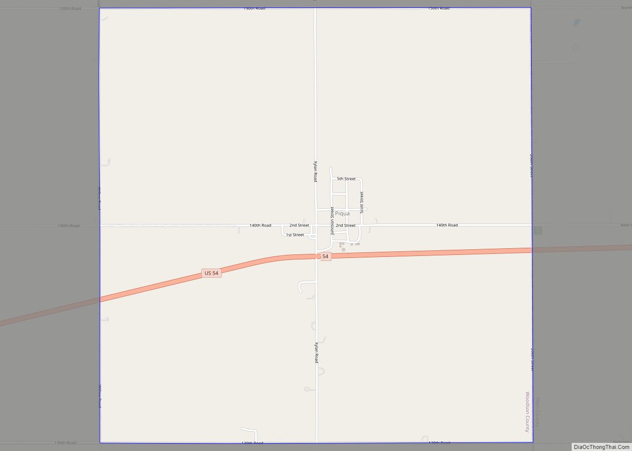
Piqua is an unincorporated community in Woodson County, Kansas, United States. As of the 2020 census, the population of the community and nearby areas was 90.
| Name: | Piqua CDP |
|---|---|
| LSAD Code: | 57 |
| LSAD Description: | CDP (suffix) |
| State: | Kansas |
| County: | Woodson County |
| Founded: | 1882 |
| Elevation: | 1,027 ft (313 m) |
| Total Area: | 4.007 sq mi (10.38 km²) |
| Land Area: | 3.968 sq mi (10.28 km²) |
| Water Area: | 0.039 sq mi (0.10 km²) |
| Total Population: | 90 |
| Population Density: | 22/sq mi (8.7/km²) |
| Area code: | 620 |
| FIPS code: | 2056000 |
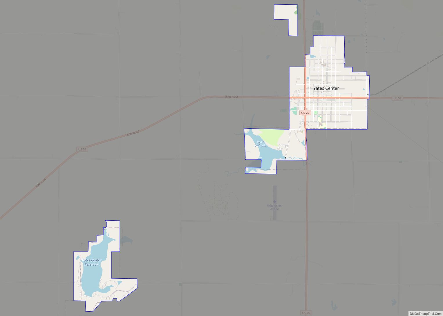
Online Interactive Map
Click on ![]() to view map in "full screen" mode.
to view map in "full screen" mode.
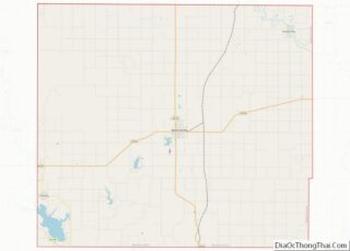
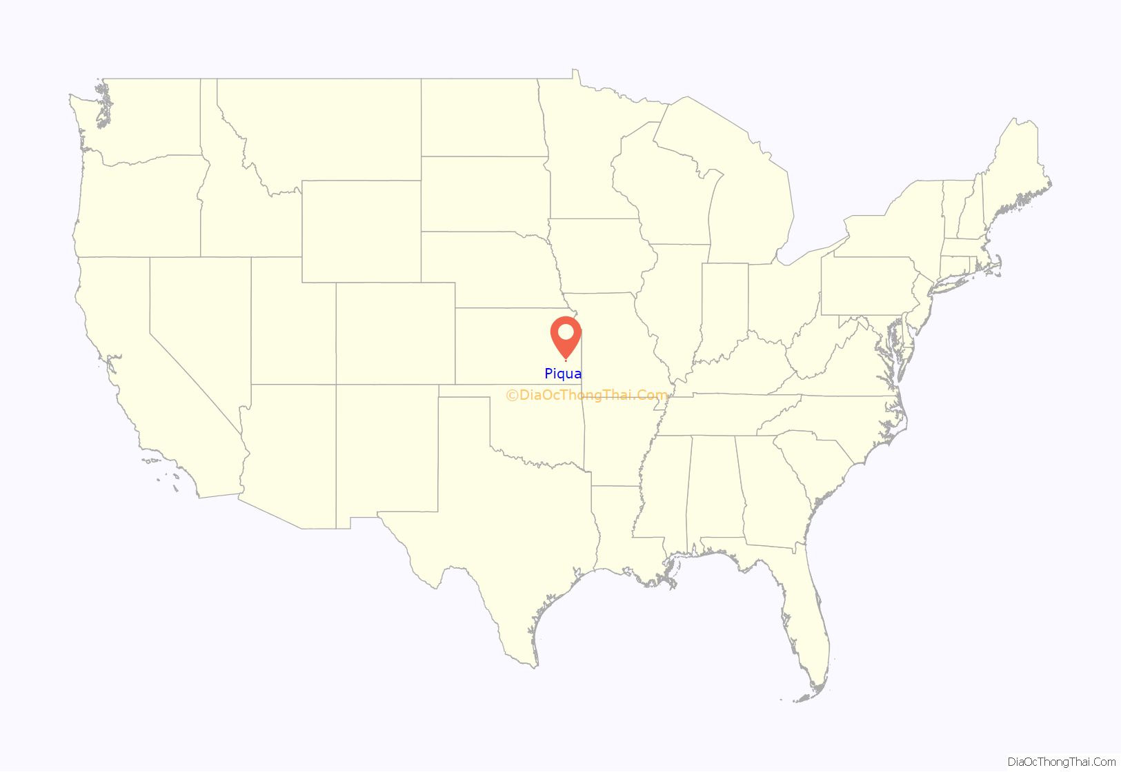
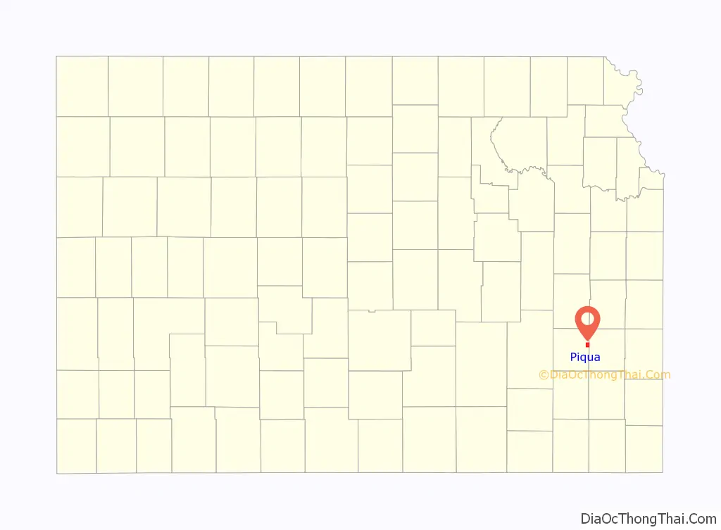
Piqua location map. Where is Piqua CDP?
History
Piqua had its start in the year 1882 by the building of the railroads through the territory, and is situated at the junction of the Missouri Pacific Railroad and the Missouri-Kansas-Texas Railroad. It was named after the city of Piqua, Ohio. The first post office in Piqua was established in March 1882.
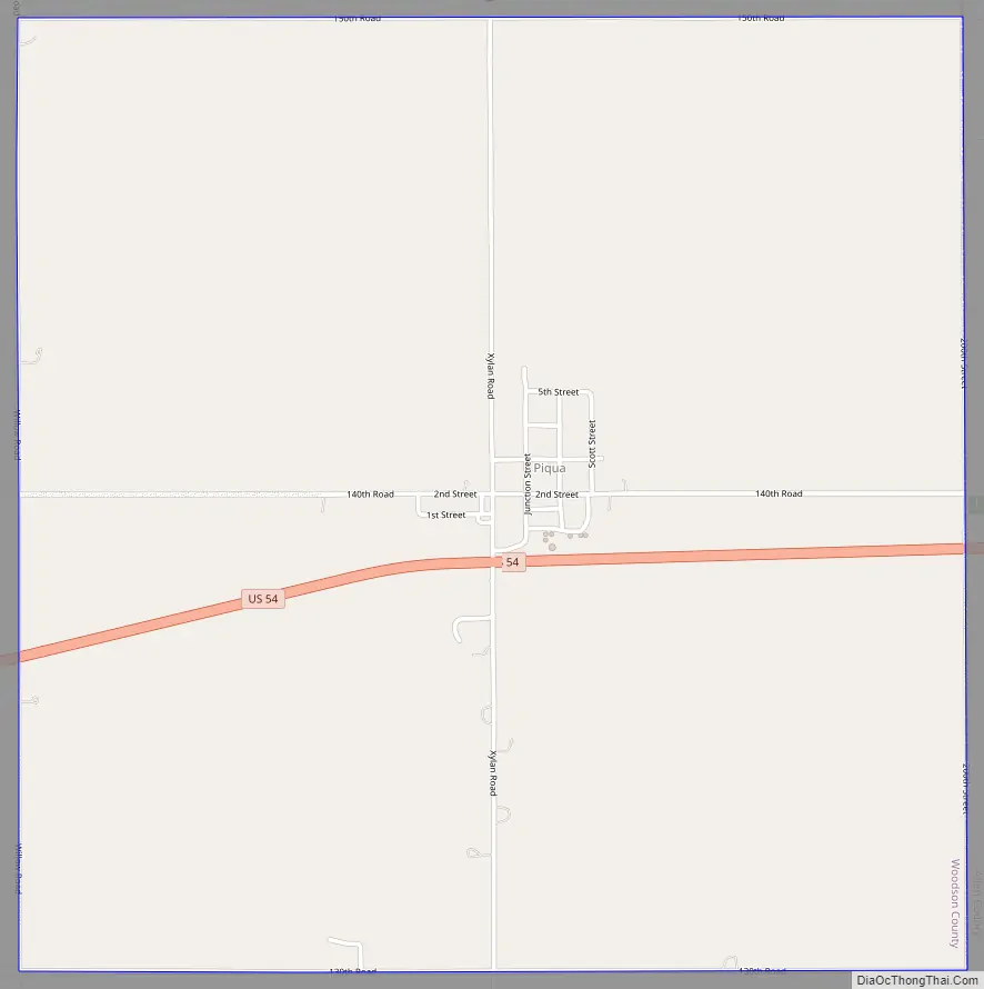
Piqua Road Map
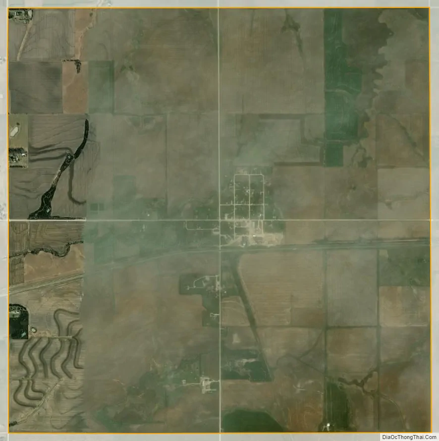
Piqua city Satellite Map
Geography
Latitude of Piqua is 37.922N and longitude is -95.535W. Piqua is located on U.S. Route 54 and is east of U.S. Route 75. Piqua is located between the cities of Yates Center and Iola.
See also
Map of Kansas State and its subdivision:- Allen
- Anderson
- Atchison
- Barber
- Barton
- Bourbon
- Brown
- Butler
- Chase
- Chautauqua
- Cherokee
- Cheyenne
- Clark
- Clay
- Cloud
- Coffey
- Comanche
- Cowley
- Crawford
- Decatur
- Dickinson
- Doniphan
- Douglas
- Edwards
- Elk
- Ellis
- Ellsworth
- Finney
- Ford
- Franklin
- Geary
- Gove
- Graham
- Grant
- Gray
- Greeley
- Greenwood
- Hamilton
- Harper
- Harvey
- Haskell
- Hodgeman
- Jackson
- Jefferson
- Jewell
- Johnson
- Kearny
- Kingman
- Kiowa
- Labette
- Lane
- Leavenworth
- Lincoln
- Linn
- Logan
- Lyon
- Marion
- Marshall
- McPherson
- Meade
- Miami
- Mitchell
- Montgomery
- Morris
- Morton
- Nemaha
- Neosho
- Ness
- Norton
- Osage
- Osborne
- Ottawa
- Pawnee
- Phillips
- Pottawatomie
- Pratt
- Rawlins
- Reno
- Republic
- Rice
- Riley
- Rooks
- Rush
- Russell
- Saline
- Scott
- Sedgwick
- Seward
- Shawnee
- Sheridan
- Sherman
- Smith
- Stafford
- Stanton
- Stevens
- Sumner
- Thomas
- Trego
- Wabaunsee
- Wallace
- Washington
- Wichita
- Wilson
- Woodson
- Wyandotte
- Alabama
- Alaska
- Arizona
- Arkansas
- California
- Colorado
- Connecticut
- Delaware
- District of Columbia
- Florida
- Georgia
- Hawaii
- Idaho
- Illinois
- Indiana
- Iowa
- Kansas
- Kentucky
- Louisiana
- Maine
- Maryland
- Massachusetts
- Michigan
- Minnesota
- Mississippi
- Missouri
- Montana
- Nebraska
- Nevada
- New Hampshire
- New Jersey
- New Mexico
- New York
- North Carolina
- North Dakota
- Ohio
- Oklahoma
- Oregon
- Pennsylvania
- Rhode Island
- South Carolina
- South Dakota
- Tennessee
- Texas
- Utah
- Vermont
- Virginia
- Washington
- West Virginia
- Wisconsin
- Wyoming