Pretty Prairie is a city in Reno County, Kansas, United States. As of the 2020 census, the population of the city was 660.
| Name: | Pretty Prairie city |
|---|---|
| LSAD Code: | 25 |
| LSAD Description: | city (suffix) |
| State: | Kansas |
| County: | Reno County |
| Founded: | 1870s |
| Incorporated: | 1906 |
| Elevation: | 1,578 ft (481 m) |
| Total Area: | 0.58 sq mi (1.49 km²) |
| Land Area: | 0.58 sq mi (1.49 km²) |
| Water Area: | 0.00 sq mi (0.00 km²) |
| Total Population: | 660 |
| Population Density: | 1,100/sq mi (440/km²) |
| ZIP code: | 67570 |
| Area code: | 620 Exchange 459 |
| FIPS code: | 2057700 |
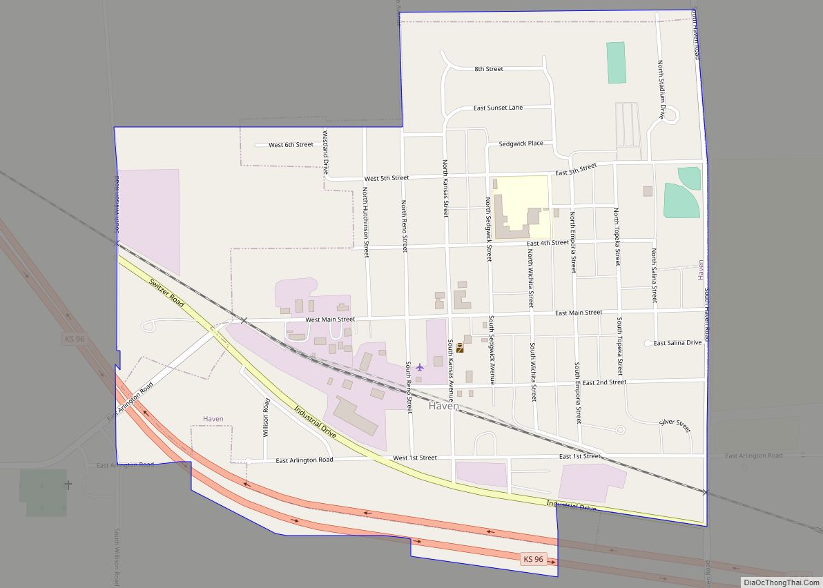
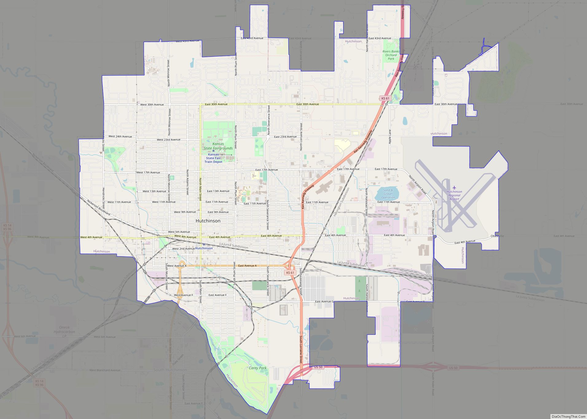
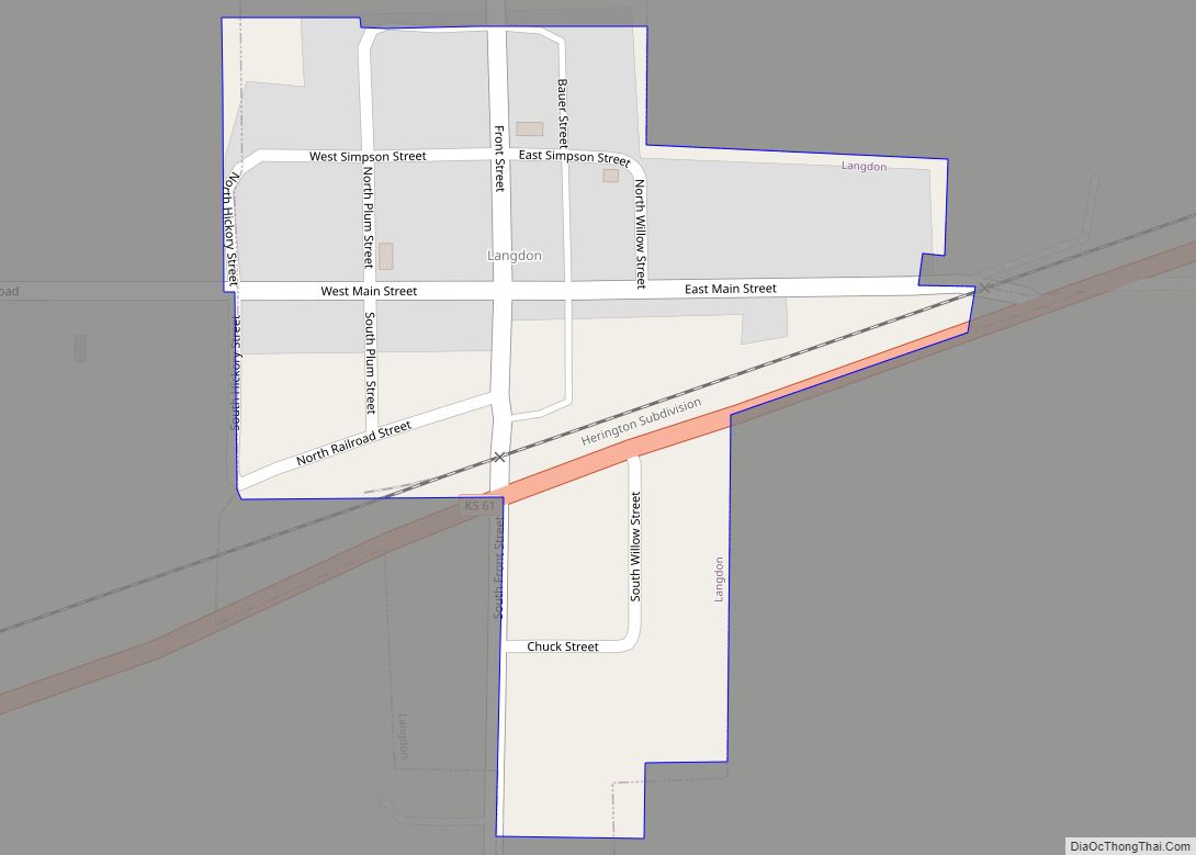
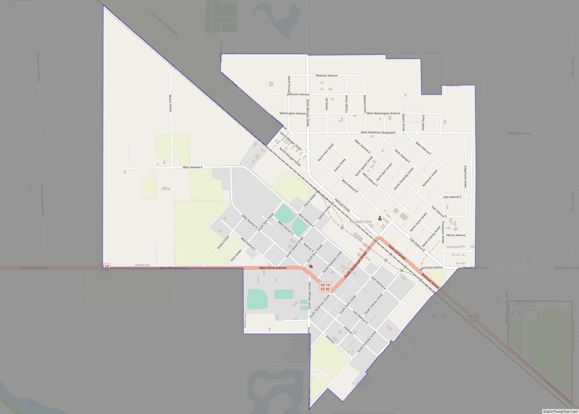
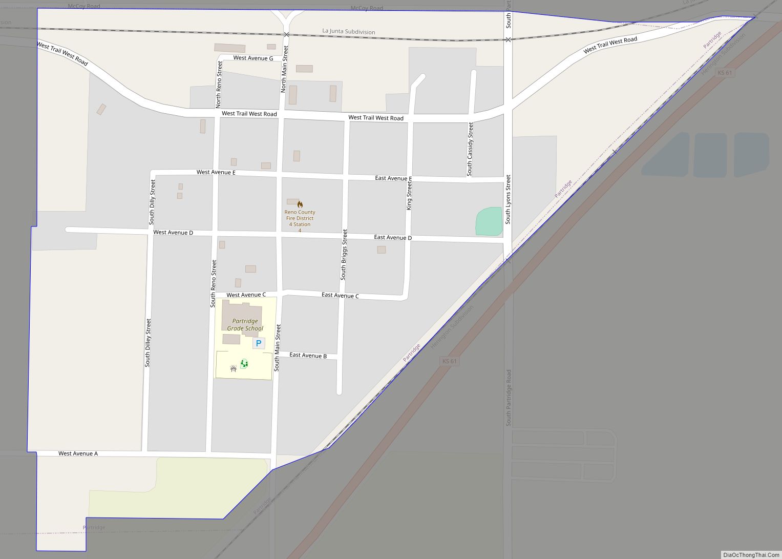
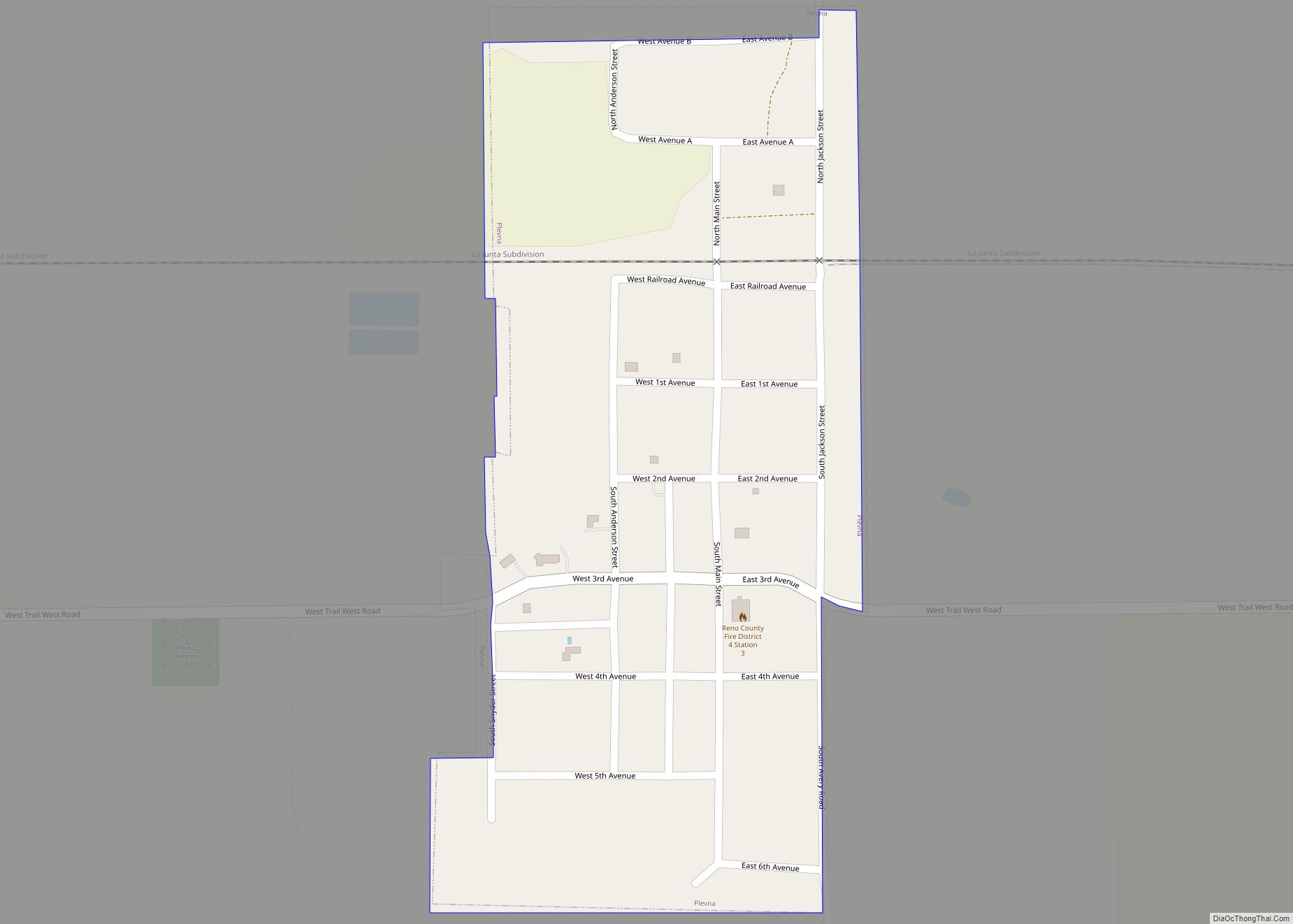
Online Interactive Map
Click on ![]() to view map in "full screen" mode.
to view map in "full screen" mode.
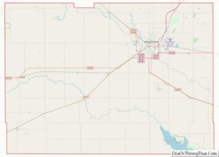
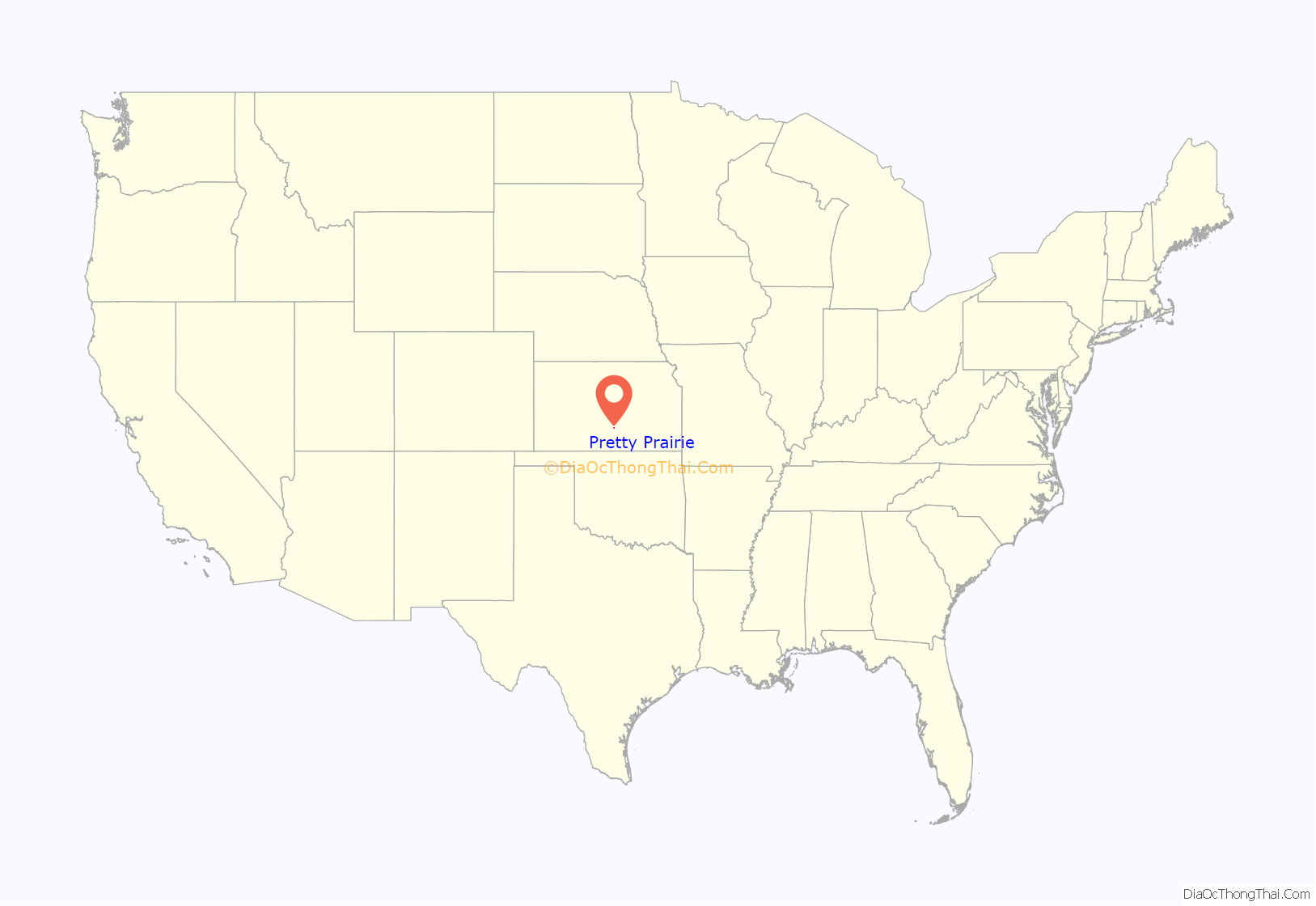
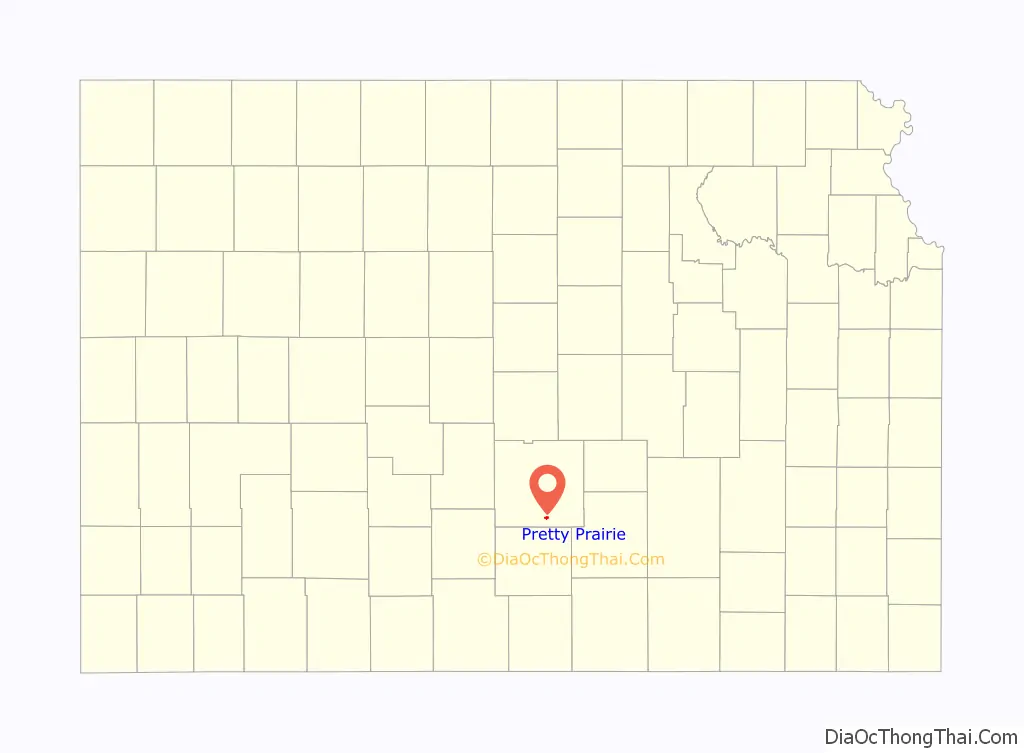
Pretty Prairie location map. Where is Pretty Prairie city?
History
The first post office at Pretty Prairie was established in 1874.
Pretty Prairie was laid out in 1889. It was named from its scenic setting upon the prairie. It was incorporated as a city in 1907.
The city’s sole source of water is a single well, a 100-foot-deep borehole. Due to agricultural pollution from the region’s groundwater, the well water has had nitrate levels in excess of the federal nitrate standard since the mid-1990s. For years, Pretty Prairie distributed bottled water to at-risk families. On January 3, 2017, the town council approved a settlement with the Kansas Department of Health and Environment and the EPA. The town planned to invest in a water tower, an underground storage tank, and a reverse osmosis water treatment system.
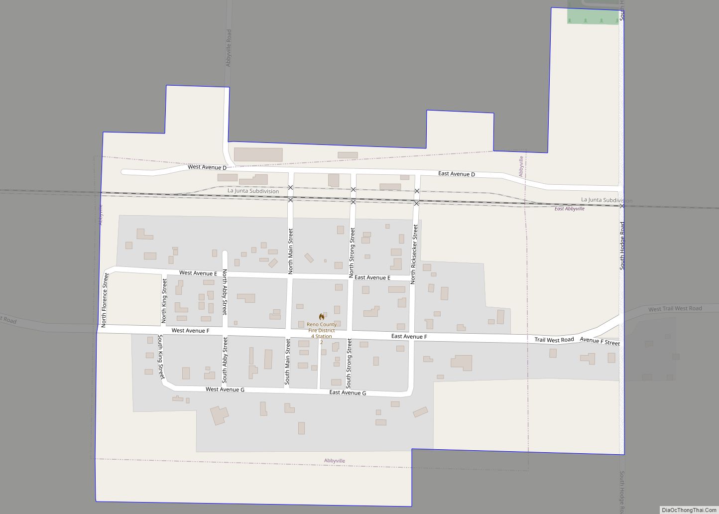
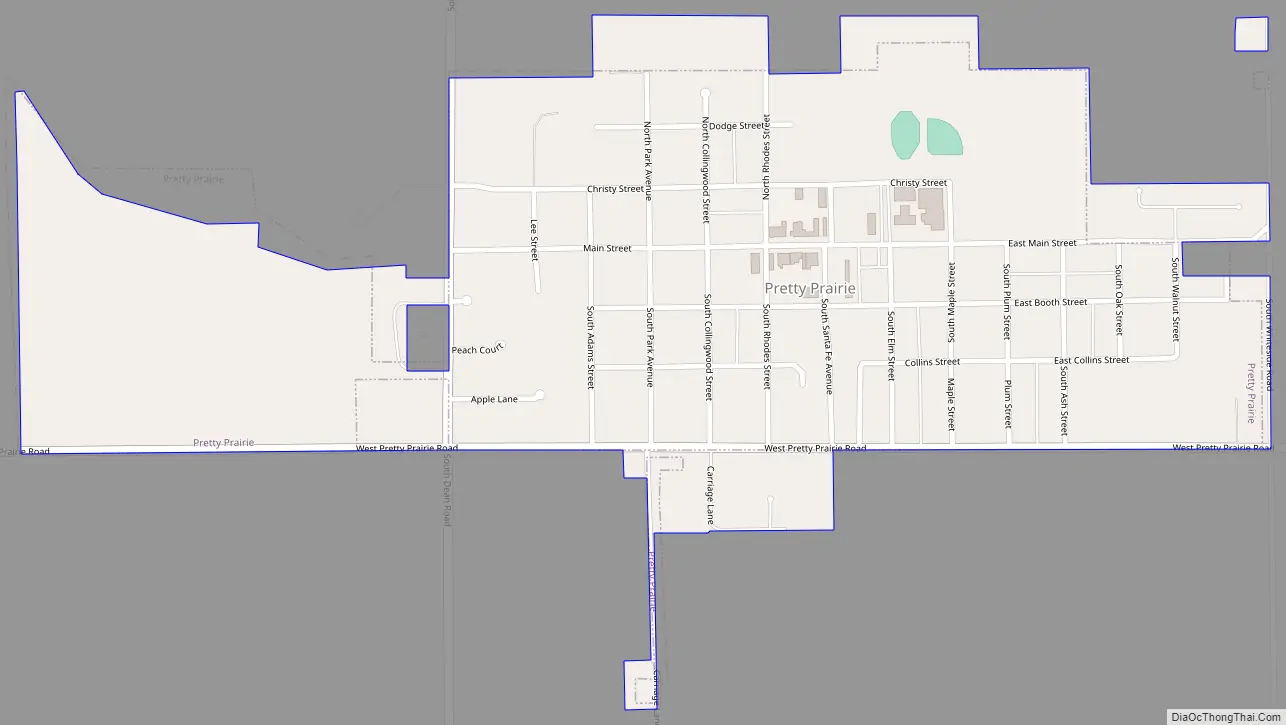
Pretty Prairie Road Map
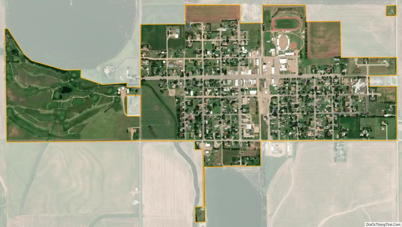
Pretty Prairie city Satellite Map
Geography
Pretty Prairie is located at 37°46′49″N 98°1′8″W / 37.78028°N 98.01889°W / 37.78028; -98.01889 (37.780250, -98.018879). According to the United States Census Bureau, the city has a total area of 0.61 square miles (1.58 km), of which, 0.56 square miles (1.45 km) is land and 0.05 square miles (0.13 km) is water.
Climate
The climate in this area is characterized by hot, humid summers and generally mild to cool winters. According to the Köppen Climate Classification system, Pretty Prairie has a humid subtropical climate, abbreviated “Cfa” on climate maps.
See also
Map of Kansas State and its subdivision:- Allen
- Anderson
- Atchison
- Barber
- Barton
- Bourbon
- Brown
- Butler
- Chase
- Chautauqua
- Cherokee
- Cheyenne
- Clark
- Clay
- Cloud
- Coffey
- Comanche
- Cowley
- Crawford
- Decatur
- Dickinson
- Doniphan
- Douglas
- Edwards
- Elk
- Ellis
- Ellsworth
- Finney
- Ford
- Franklin
- Geary
- Gove
- Graham
- Grant
- Gray
- Greeley
- Greenwood
- Hamilton
- Harper
- Harvey
- Haskell
- Hodgeman
- Jackson
- Jefferson
- Jewell
- Johnson
- Kearny
- Kingman
- Kiowa
- Labette
- Lane
- Leavenworth
- Lincoln
- Linn
- Logan
- Lyon
- Marion
- Marshall
- McPherson
- Meade
- Miami
- Mitchell
- Montgomery
- Morris
- Morton
- Nemaha
- Neosho
- Ness
- Norton
- Osage
- Osborne
- Ottawa
- Pawnee
- Phillips
- Pottawatomie
- Pratt
- Rawlins
- Reno
- Republic
- Rice
- Riley
- Rooks
- Rush
- Russell
- Saline
- Scott
- Sedgwick
- Seward
- Shawnee
- Sheridan
- Sherman
- Smith
- Stafford
- Stanton
- Stevens
- Sumner
- Thomas
- Trego
- Wabaunsee
- Wallace
- Washington
- Wichita
- Wilson
- Woodson
- Wyandotte
- Alabama
- Alaska
- Arizona
- Arkansas
- California
- Colorado
- Connecticut
- Delaware
- District of Columbia
- Florida
- Georgia
- Hawaii
- Idaho
- Illinois
- Indiana
- Iowa
- Kansas
- Kentucky
- Louisiana
- Maine
- Maryland
- Massachusetts
- Michigan
- Minnesota
- Mississippi
- Missouri
- Montana
- Nebraska
- Nevada
- New Hampshire
- New Jersey
- New Mexico
- New York
- North Carolina
- North Dakota
- Ohio
- Oklahoma
- Oregon
- Pennsylvania
- Rhode Island
- South Carolina
- South Dakota
- Tennessee
- Texas
- Utah
- Vermont
- Virginia
- Washington
- West Virginia
- Wisconsin
- Wyoming