Soldier is a city in Jackson County, Kansas, United States. As of the 2020 census, the population of the city was 102.
| Name: | Soldier city |
|---|---|
| LSAD Code: | 25 |
| LSAD Description: | city (suffix) |
| State: | Kansas |
| County: | Jackson County |
| Founded: | 1877 |
| Incorporated: | 1896 |
| Elevation: | 1,221 ft (372 m) |
| Total Area: | 0.15 sq mi (0.38 km²) |
| Land Area: | 0.15 sq mi (0.38 km²) |
| Water Area: | 0.00 sq mi (0.00 km²) |
| Total Population: | 102 |
| Population Density: | 680/sq mi (270/km²) |
| ZIP code: | 66540 |
| Area code: | 785 |
| FIPS code: | 2066175 |
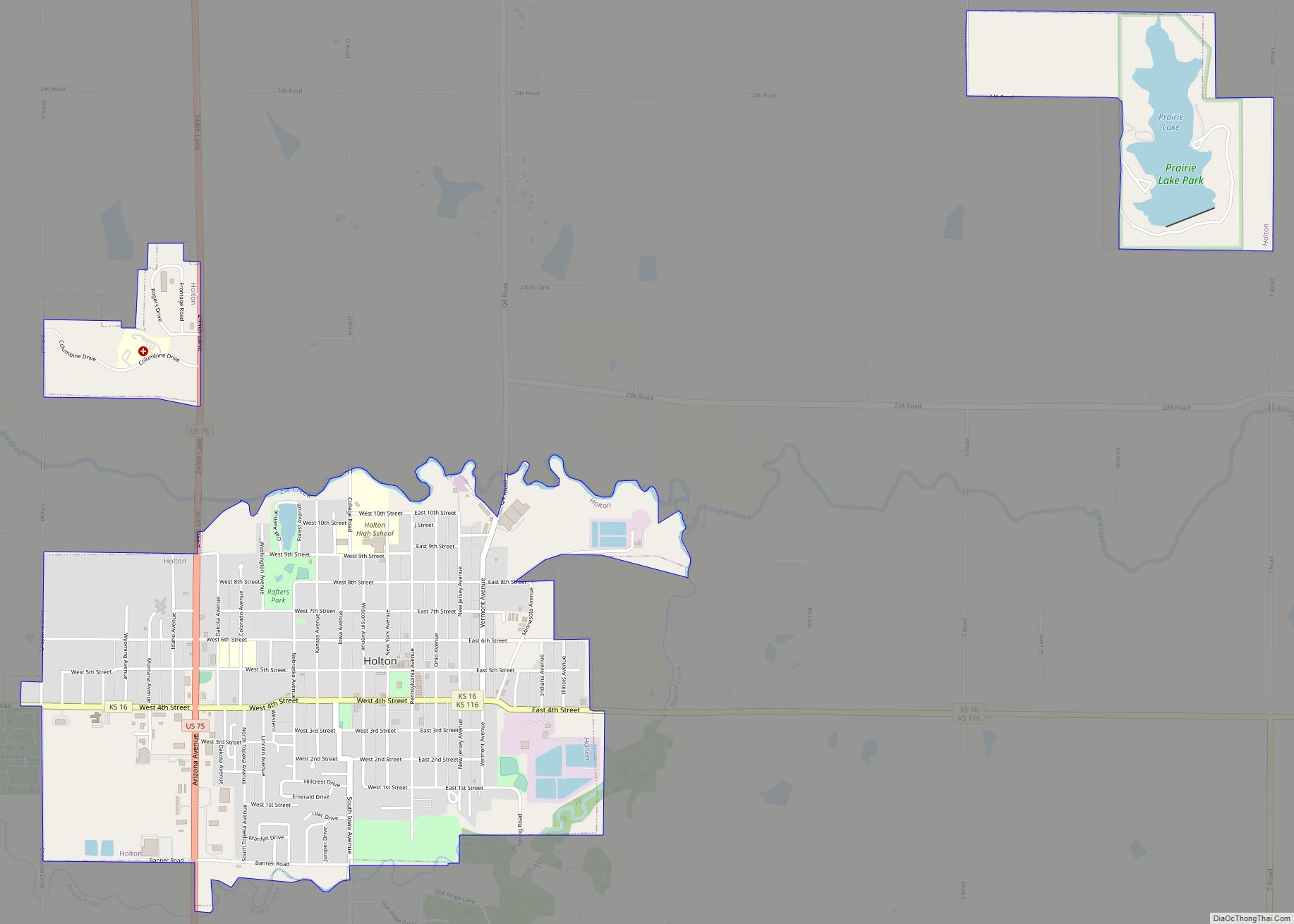
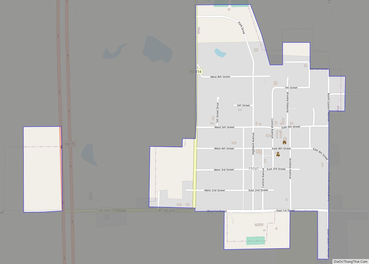
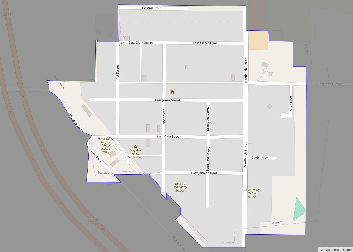
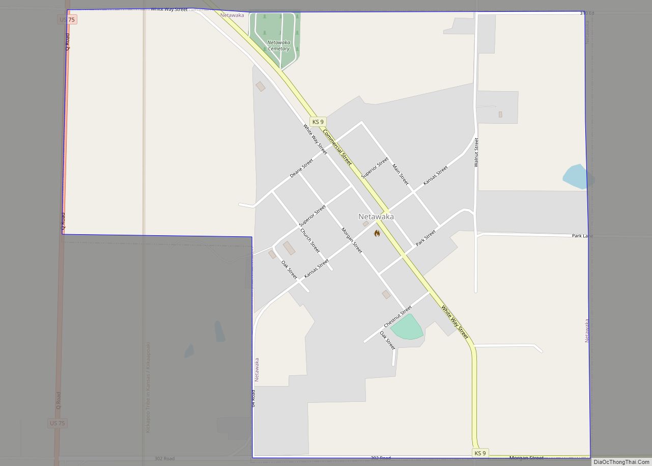
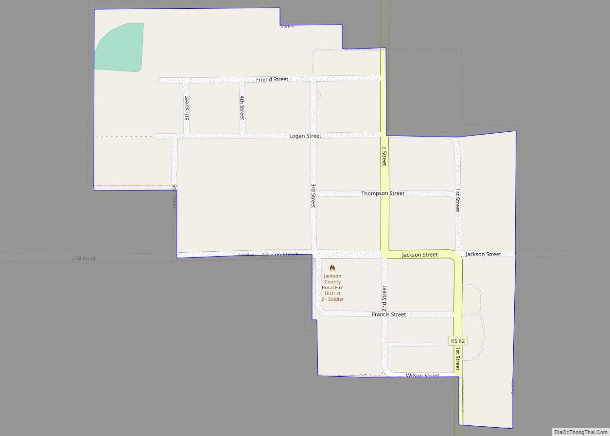
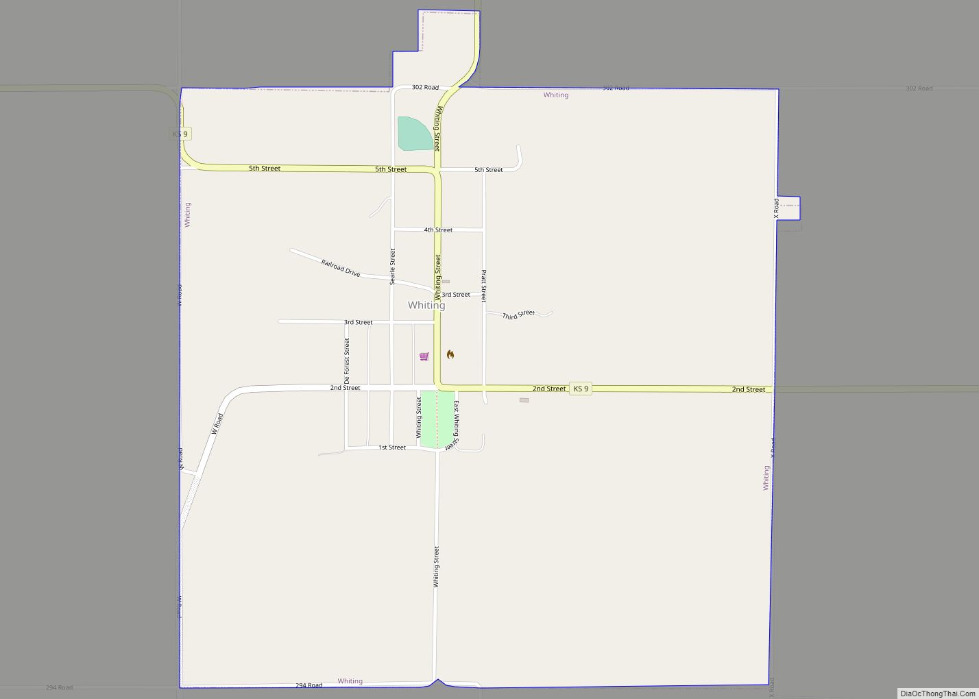
Online Interactive Map
Click on ![]() to view map in "full screen" mode.
to view map in "full screen" mode.
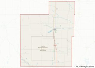
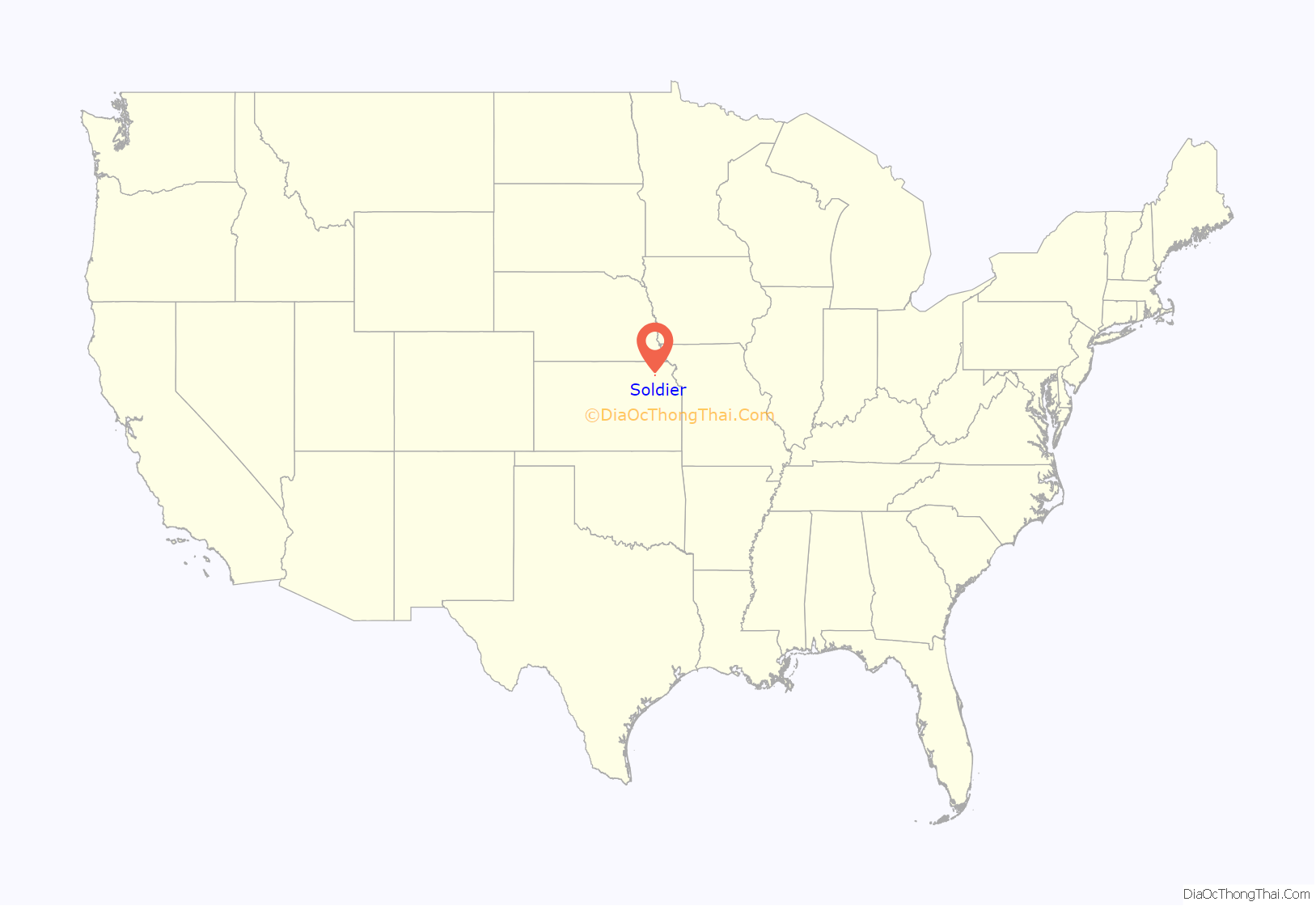
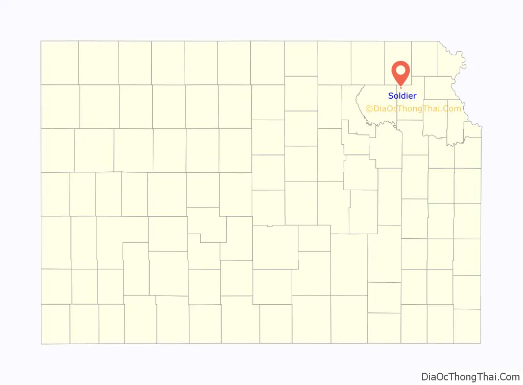
Soldier location map. Where is Soldier city?
History
The first settlement was made at Soldier in 1877, and the town was laid out in the same year. Soldier took its name from Soldier Creek. The city was incorporated in 1896.
A tornado in 1883 destroyed 18 buildings and killed 4 people. Soldier was affected by the June 2008 tornado outbreak sequence: a man was found dead outside the city on the morning of June 11, 2008, killed by a tornado estimated at 1⁄2 mile (0.80 km) wide.
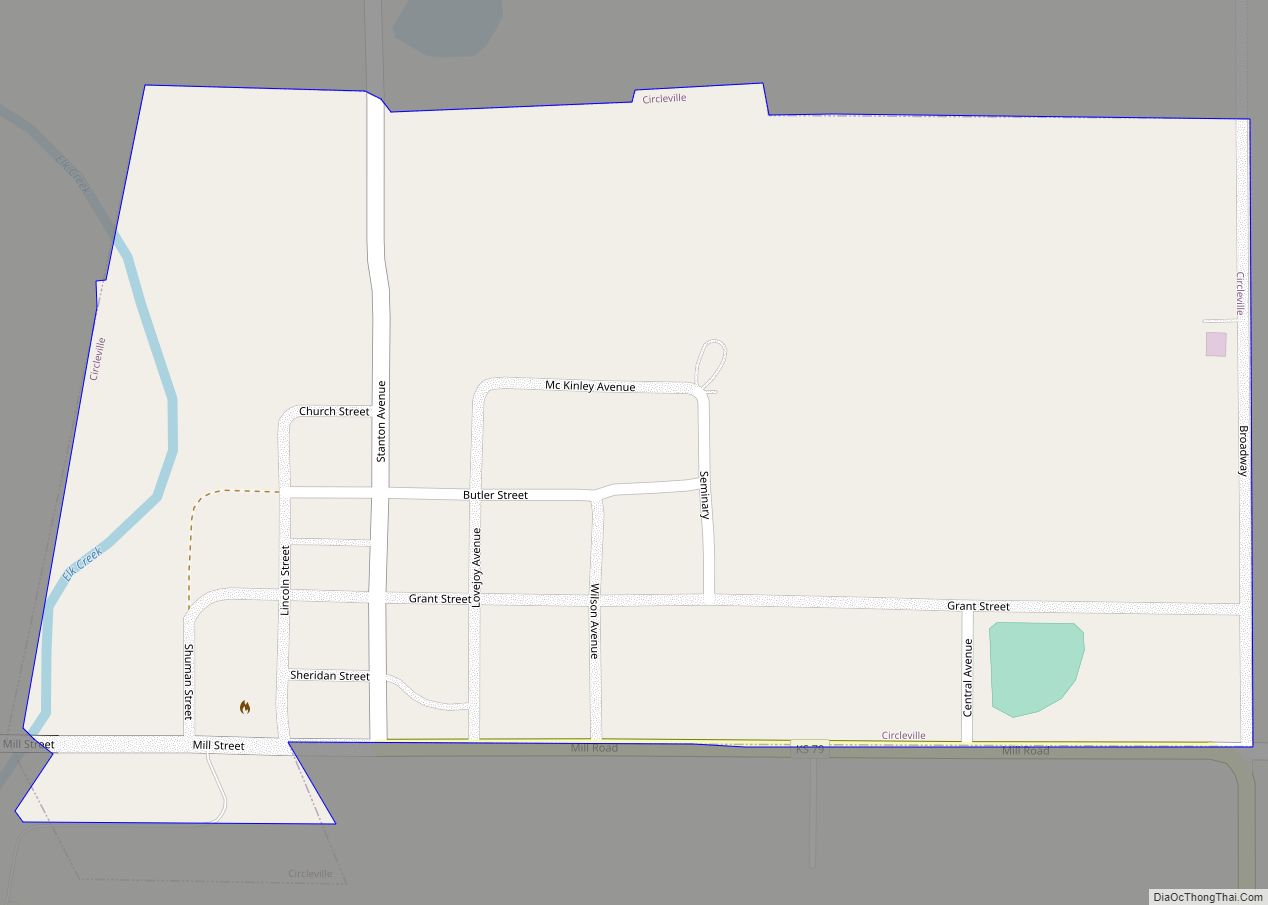
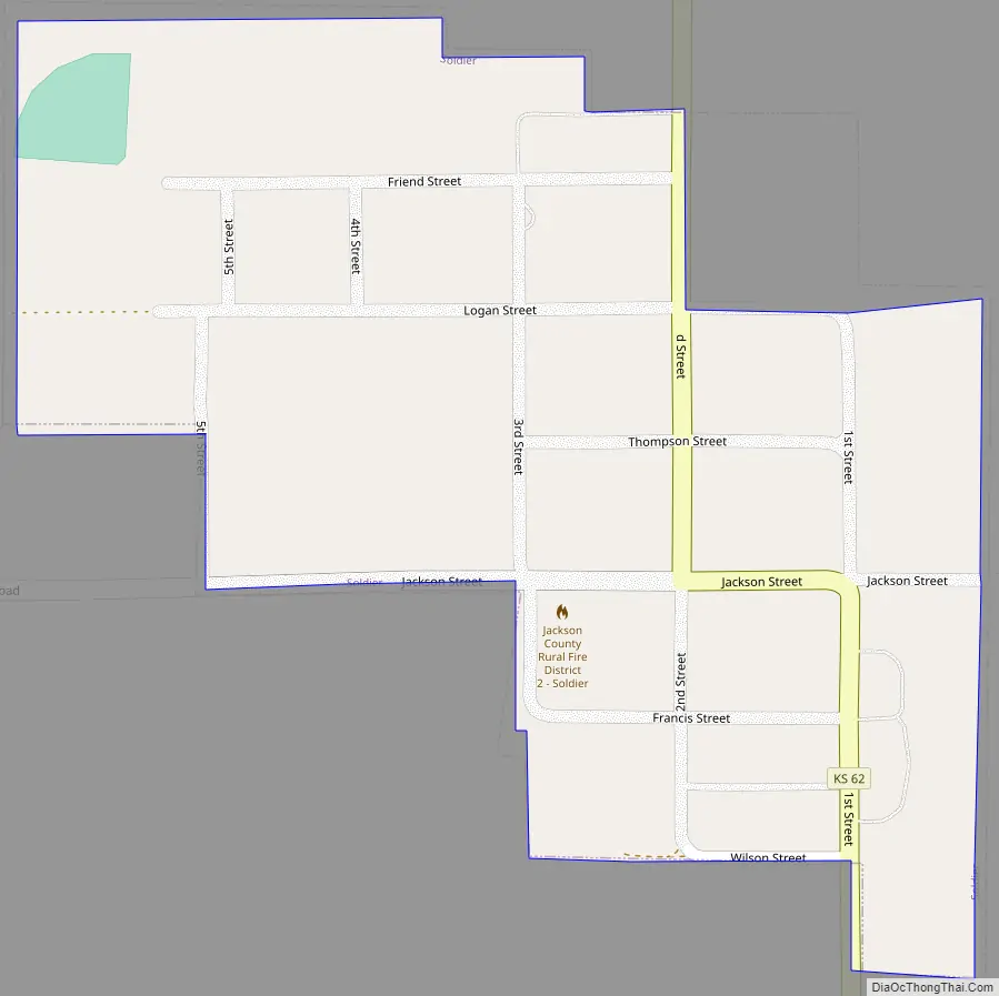
Soldier Road Map
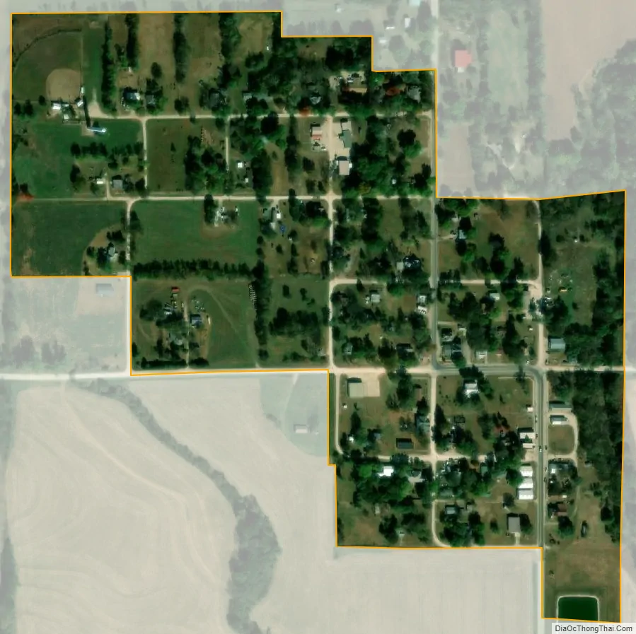
Soldier city Satellite Map
Geography
Soldier is located at 39°32′12″N 95°57′53″W / 39.536792°N 95.964849°W / 39.536792; -95.964849 (39.536792, −95.964849). According to the United States Census Bureau, the city has a total area of 0.15 square miles (0.39 km), all of it land.
Climate
The climate in this area is characterized by relatively high temperatures and evenly distributed precipitation throughout the year. According to the Köppen climate classification system, Soldier has a humid subtropical climate, abbreviated “Cfa” on climate maps.
See also
Map of Kansas State and its subdivision:- Allen
- Anderson
- Atchison
- Barber
- Barton
- Bourbon
- Brown
- Butler
- Chase
- Chautauqua
- Cherokee
- Cheyenne
- Clark
- Clay
- Cloud
- Coffey
- Comanche
- Cowley
- Crawford
- Decatur
- Dickinson
- Doniphan
- Douglas
- Edwards
- Elk
- Ellis
- Ellsworth
- Finney
- Ford
- Franklin
- Geary
- Gove
- Graham
- Grant
- Gray
- Greeley
- Greenwood
- Hamilton
- Harper
- Harvey
- Haskell
- Hodgeman
- Jackson
- Jefferson
- Jewell
- Johnson
- Kearny
- Kingman
- Kiowa
- Labette
- Lane
- Leavenworth
- Lincoln
- Linn
- Logan
- Lyon
- Marion
- Marshall
- McPherson
- Meade
- Miami
- Mitchell
- Montgomery
- Morris
- Morton
- Nemaha
- Neosho
- Ness
- Norton
- Osage
- Osborne
- Ottawa
- Pawnee
- Phillips
- Pottawatomie
- Pratt
- Rawlins
- Reno
- Republic
- Rice
- Riley
- Rooks
- Rush
- Russell
- Saline
- Scott
- Sedgwick
- Seward
- Shawnee
- Sheridan
- Sherman
- Smith
- Stafford
- Stanton
- Stevens
- Sumner
- Thomas
- Trego
- Wabaunsee
- Wallace
- Washington
- Wichita
- Wilson
- Woodson
- Wyandotte
- Alabama
- Alaska
- Arizona
- Arkansas
- California
- Colorado
- Connecticut
- Delaware
- District of Columbia
- Florida
- Georgia
- Hawaii
- Idaho
- Illinois
- Indiana
- Iowa
- Kansas
- Kentucky
- Louisiana
- Maine
- Maryland
- Massachusetts
- Michigan
- Minnesota
- Mississippi
- Missouri
- Montana
- Nebraska
- Nevada
- New Hampshire
- New Jersey
- New Mexico
- New York
- North Carolina
- North Dakota
- Ohio
- Oklahoma
- Oregon
- Pennsylvania
- Rhode Island
- South Carolina
- South Dakota
- Tennessee
- Texas
- Utah
- Vermont
- Virginia
- Washington
- West Virginia
- Wisconsin
- Wyoming