Spearville is a city in Ford County, Kansas, United States. As of the 2020 census, the population of the city was 791.
| Name: | Spearville city |
|---|---|
| LSAD Code: | 25 |
| LSAD Description: | city (suffix) |
| State: | Kansas |
| County: | Ford County |
| Founded: | 1873 |
| Incorporated: | 1885 |
| Elevation: | 2,461 ft (750 m) |
| Total Area: | 0.63 sq mi (1.63 km²) |
| Land Area: | 0.63 sq mi (1.63 km²) |
| Water Area: | 0.00 sq mi (0.00 km²) |
| Total Population: | 791 |
| Population Density: | 1,300/sq mi (490/km²) |
| ZIP code: | 67876 |
| Area code: | 620 |
| FIPS code: | 2067125 |
| Website: | spearville.org |
Online Interactive Map
Click on ![]() to view map in "full screen" mode.
to view map in "full screen" mode.
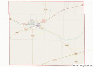
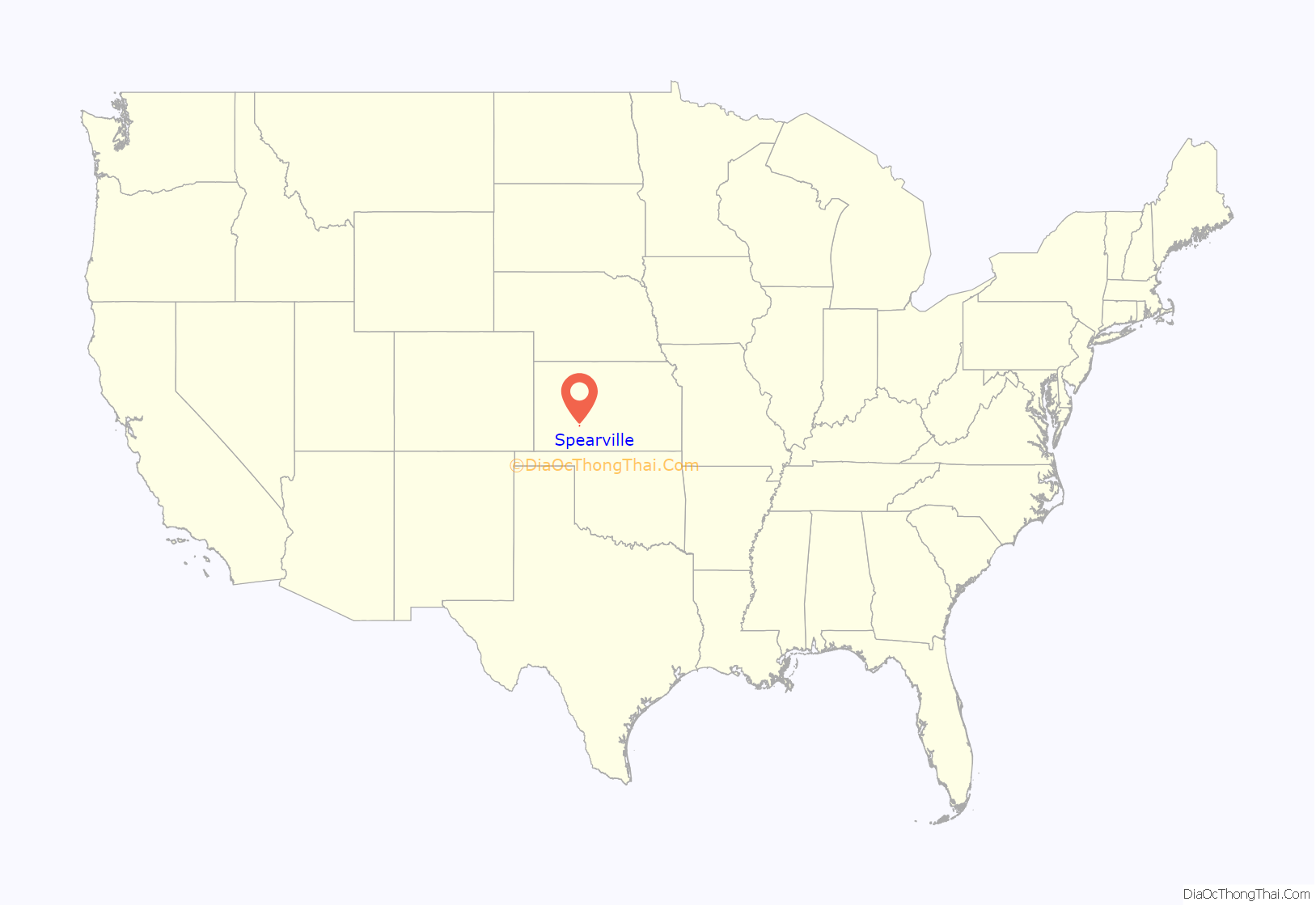
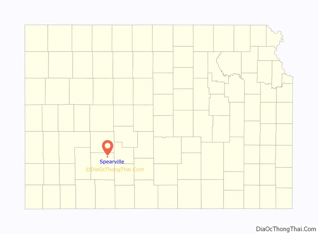
Spearville location map. Where is Spearville city?
History
19th century
The land for the townsite of Spearville was deeded by the Santa Fe to the Arkansas Valley Town Company in March 1873, and was surveyed and platted. The town was named for Alden H. Speare, railroad director and president of the town company. The city name appeared as both Spearville and Speareville in the early days.
Spearville’s first permanent residents were the Santa Fe section foreman, Jonas Stafford, and his family. Stafford was stationed at this particular watering spot beginning January, 1875. Stafford’s wife and daughters opened an eating house, mainly for the accommodation of the section hands.
The first post office in Spearville was established in June, 1877.
Toward the end of October 1892, Spearville was the site of the second robbery of the Bill Doolin Gang, which had been formed in the aftermath of the Dalton Gang’s demise in Coffeyville, Kansas. The Ford County Bank was robbed of $1,697 by Doolin and two members of his gang. One of the outlaws, Ollie (Ol) Yantis, was soon tracked down and killed by a posse.
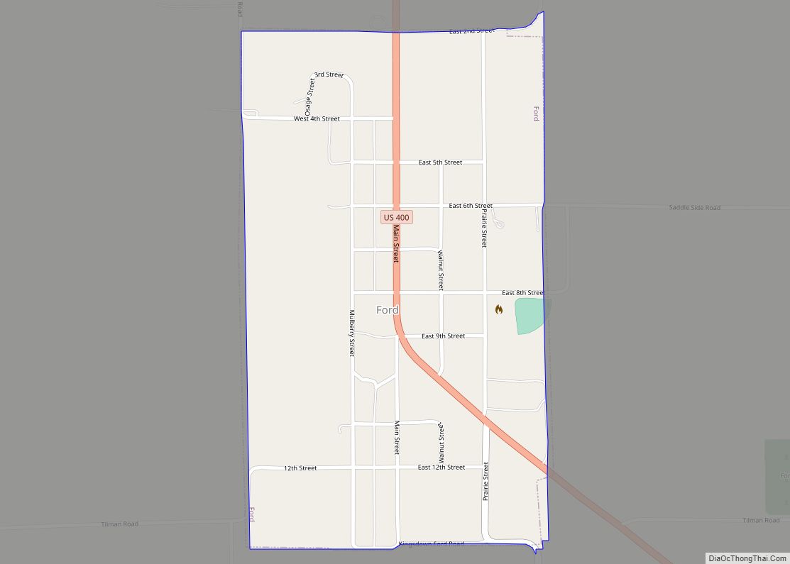
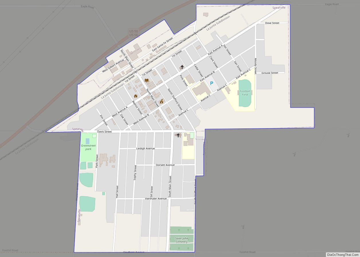
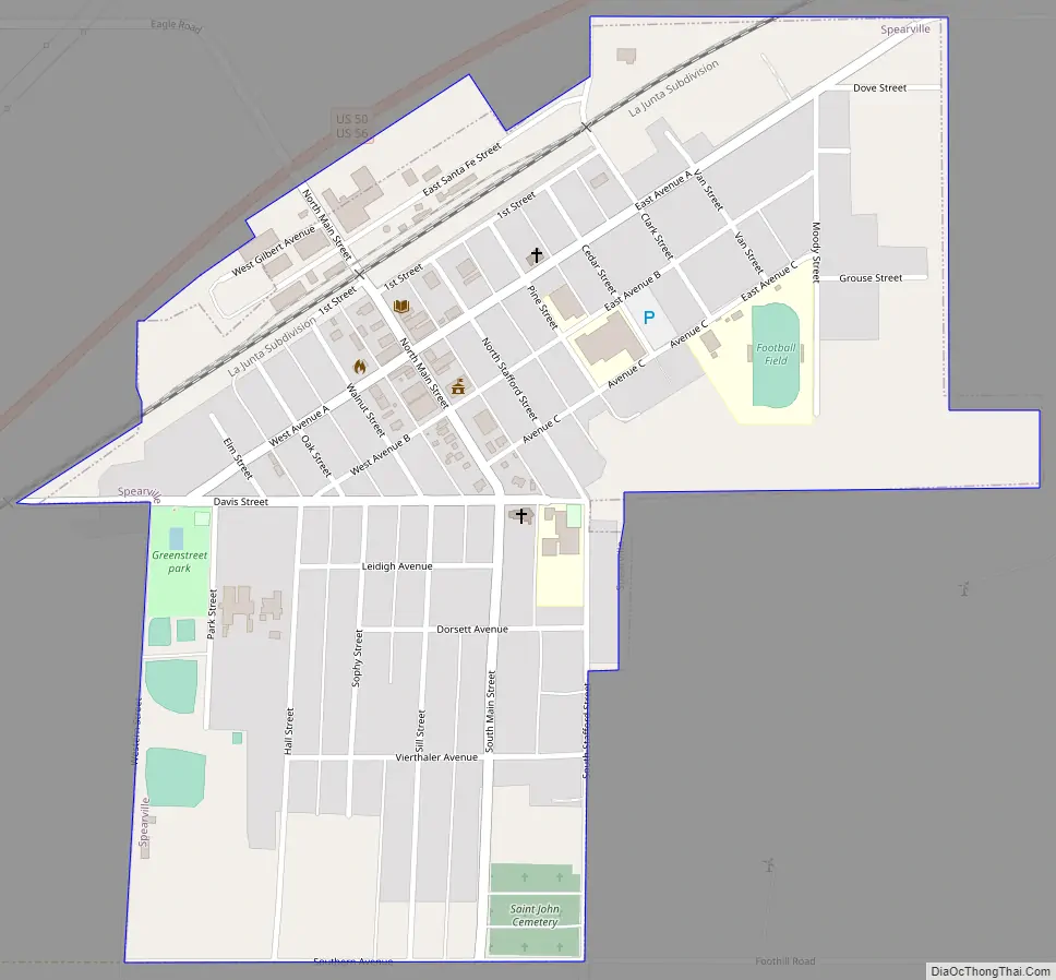
Spearville Road Map
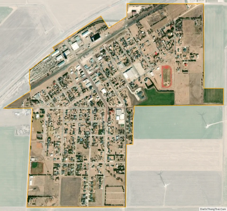
Spearville city Satellite Map
Geography
Spearville is located at 37°50′56″N 99°45′19″W / 37.84889°N 99.75528°W / 37.84889; -99.75528 (37.848750, -99.755318). According to the United States Census Bureau, the city has a total area of 0.60 square miles (1.55 km), all land.
Climate
The climate in this area is characterized by hot, humid summers and generally mild to cool winters. According to the Köppen Climate Classification system, Spearville has a humid subtropical climate, abbreviated “Cfa” on climate maps.
See also
Map of Kansas State and its subdivision:- Allen
- Anderson
- Atchison
- Barber
- Barton
- Bourbon
- Brown
- Butler
- Chase
- Chautauqua
- Cherokee
- Cheyenne
- Clark
- Clay
- Cloud
- Coffey
- Comanche
- Cowley
- Crawford
- Decatur
- Dickinson
- Doniphan
- Douglas
- Edwards
- Elk
- Ellis
- Ellsworth
- Finney
- Ford
- Franklin
- Geary
- Gove
- Graham
- Grant
- Gray
- Greeley
- Greenwood
- Hamilton
- Harper
- Harvey
- Haskell
- Hodgeman
- Jackson
- Jefferson
- Jewell
- Johnson
- Kearny
- Kingman
- Kiowa
- Labette
- Lane
- Leavenworth
- Lincoln
- Linn
- Logan
- Lyon
- Marion
- Marshall
- McPherson
- Meade
- Miami
- Mitchell
- Montgomery
- Morris
- Morton
- Nemaha
- Neosho
- Ness
- Norton
- Osage
- Osborne
- Ottawa
- Pawnee
- Phillips
- Pottawatomie
- Pratt
- Rawlins
- Reno
- Republic
- Rice
- Riley
- Rooks
- Rush
- Russell
- Saline
- Scott
- Sedgwick
- Seward
- Shawnee
- Sheridan
- Sherman
- Smith
- Stafford
- Stanton
- Stevens
- Sumner
- Thomas
- Trego
- Wabaunsee
- Wallace
- Washington
- Wichita
- Wilson
- Woodson
- Wyandotte
- Alabama
- Alaska
- Arizona
- Arkansas
- California
- Colorado
- Connecticut
- Delaware
- District of Columbia
- Florida
- Georgia
- Hawaii
- Idaho
- Illinois
- Indiana
- Iowa
- Kansas
- Kentucky
- Louisiana
- Maine
- Maryland
- Massachusetts
- Michigan
- Minnesota
- Mississippi
- Missouri
- Montana
- Nebraska
- Nevada
- New Hampshire
- New Jersey
- New Mexico
- New York
- North Carolina
- North Dakota
- Ohio
- Oklahoma
- Oregon
- Pennsylvania
- Rhode Island
- South Carolina
- South Dakota
- Tennessee
- Texas
- Utah
- Vermont
- Virginia
- Washington
- West Virginia
- Wisconsin
- Wyoming