Wallace is a city in Wallace County, Kansas, United States. As of the 2020 census, the population of the city was 41.
| Name: | Wallace city |
|---|---|
| LSAD Code: | 25 |
| LSAD Description: | city (suffix) |
| State: | Kansas |
| County: | Wallace County |
| Founded: | 1870s |
| Incorporated: | 1887 |
| Elevation: | 3,314 ft (1,010 m) |
| Total Area: | 0.40 sq mi (1.04 km²) |
| Land Area: | 0.40 sq mi (1.04 km²) |
| Water Area: | 0.00 sq mi (0.00 km²) |
| Total Population: | 41 |
| Population Density: | 100/sq mi (39/km²) |
| ZIP code: | 67761 |
| Area code: | 785 |
| FIPS code: | 2074750 |
Online Interactive Map
Click on ![]() to view map in "full screen" mode.
to view map in "full screen" mode.
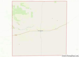
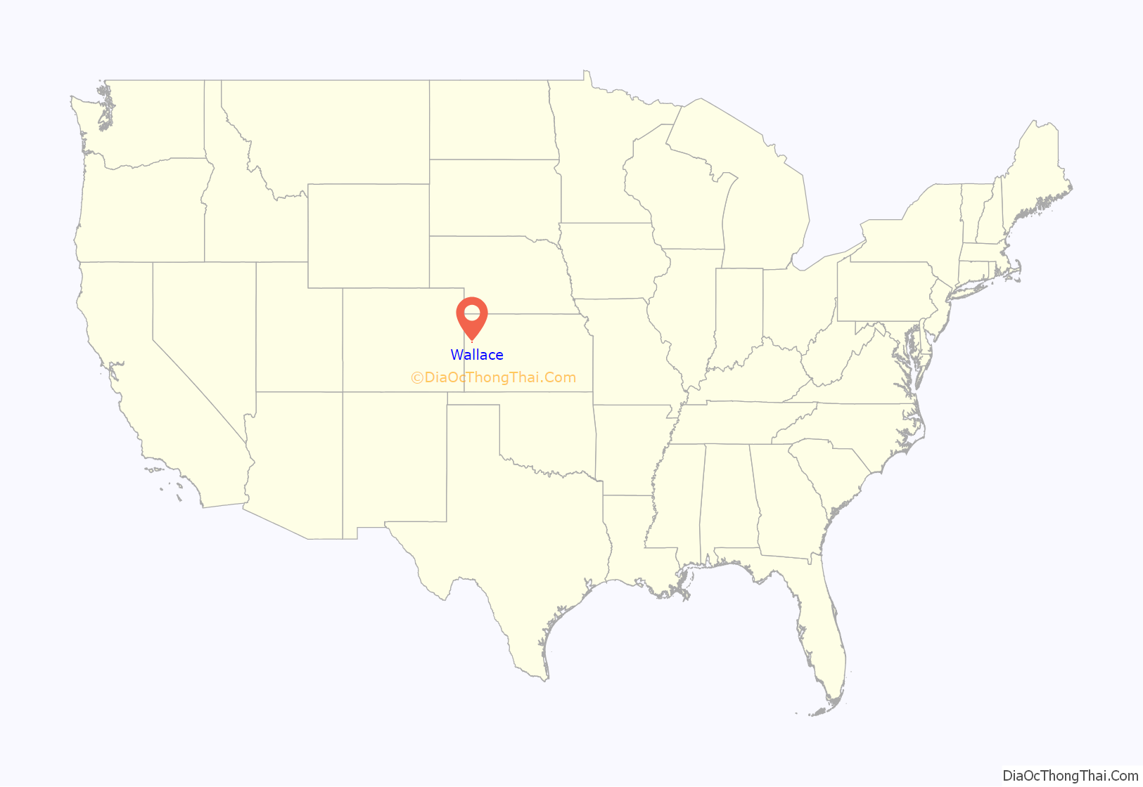
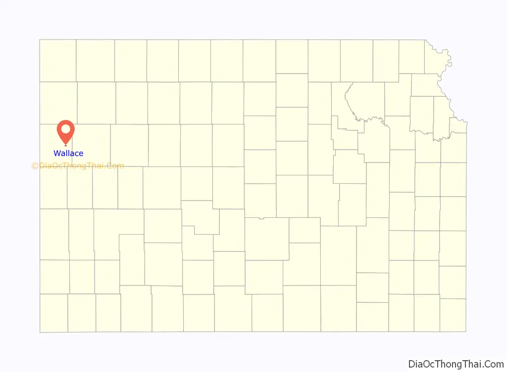
Wallace location map. Where is Wallace city?
History
The city began with the establishment of Fort Wallace, ordered built by General William Tecumseh Sherman.
The first post office in Wallace was established in August 1872.
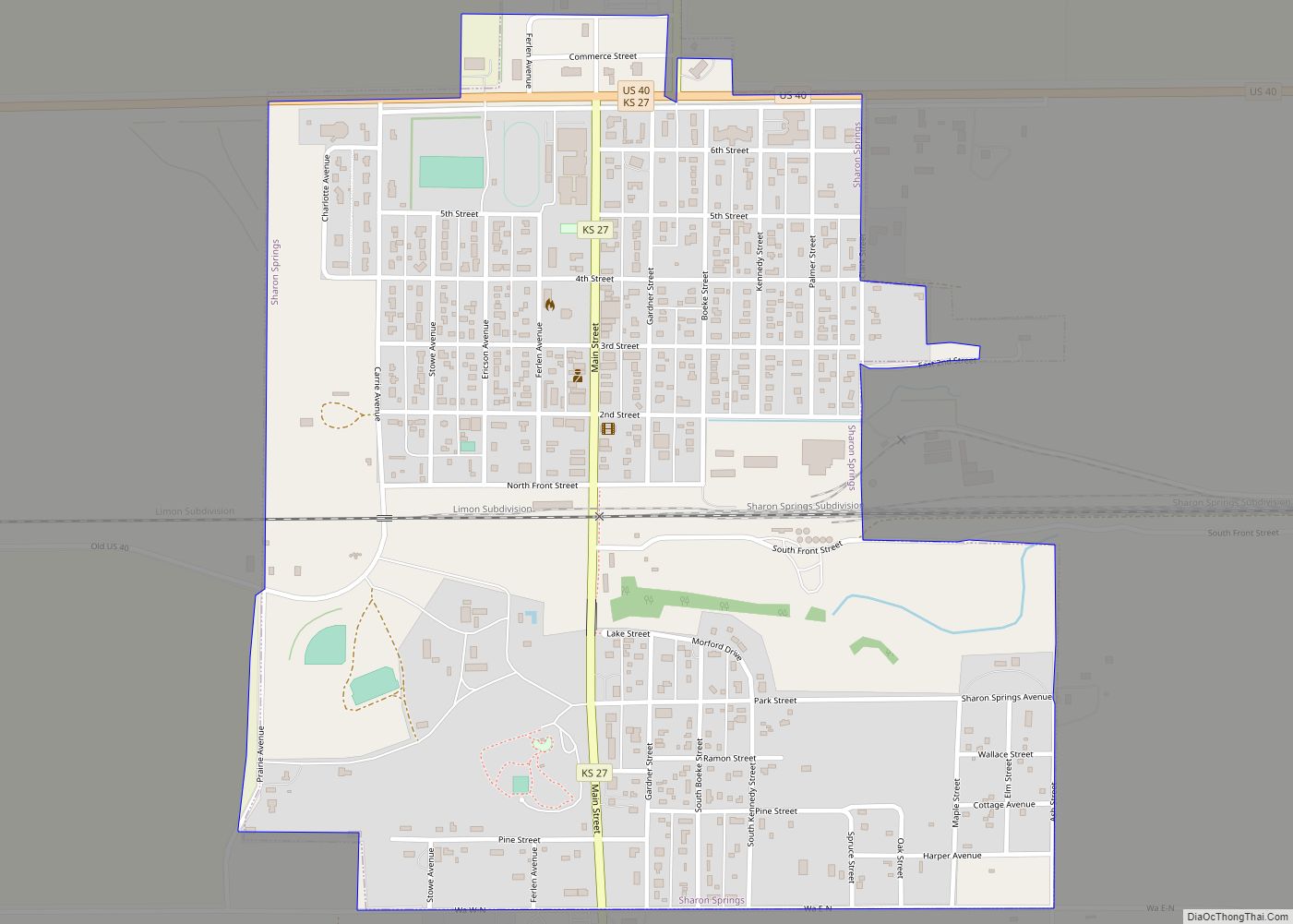
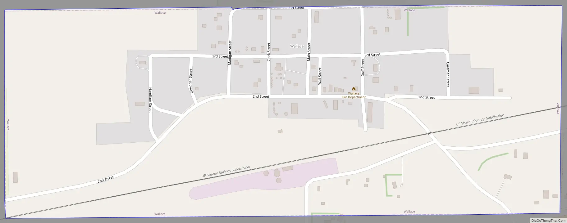
Wallace Road Map
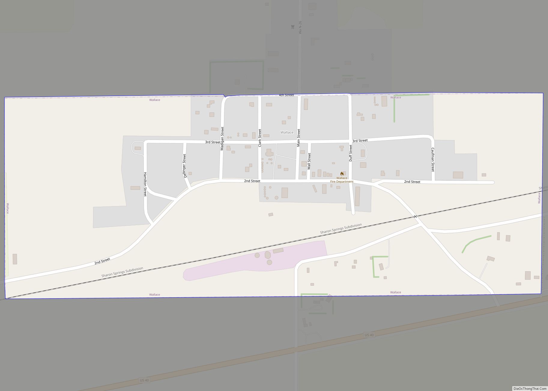
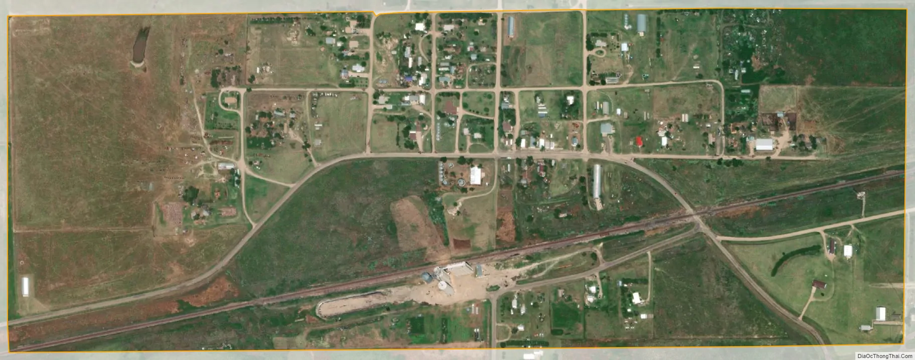
Wallace city Satellite Map
Geography
Wallace is located at 38°54′49″N 101°35′31″W / 38.91361°N 101.59194°W / 38.91361; -101.59194 (38.913671, -101.591874). According to the United States Census Bureau, the city has a total area of 0.40 square miles (1.04 km), all land.
Climate
According to the Köppen Climate Classification system, Wallace has a semi-arid climate, abbreviated “BSk” on climate maps.
See also
Map of Kansas State and its subdivision:- Allen
- Anderson
- Atchison
- Barber
- Barton
- Bourbon
- Brown
- Butler
- Chase
- Chautauqua
- Cherokee
- Cheyenne
- Clark
- Clay
- Cloud
- Coffey
- Comanche
- Cowley
- Crawford
- Decatur
- Dickinson
- Doniphan
- Douglas
- Edwards
- Elk
- Ellis
- Ellsworth
- Finney
- Ford
- Franklin
- Geary
- Gove
- Graham
- Grant
- Gray
- Greeley
- Greenwood
- Hamilton
- Harper
- Harvey
- Haskell
- Hodgeman
- Jackson
- Jefferson
- Jewell
- Johnson
- Kearny
- Kingman
- Kiowa
- Labette
- Lane
- Leavenworth
- Lincoln
- Linn
- Logan
- Lyon
- Marion
- Marshall
- McPherson
- Meade
- Miami
- Mitchell
- Montgomery
- Morris
- Morton
- Nemaha
- Neosho
- Ness
- Norton
- Osage
- Osborne
- Ottawa
- Pawnee
- Phillips
- Pottawatomie
- Pratt
- Rawlins
- Reno
- Republic
- Rice
- Riley
- Rooks
- Rush
- Russell
- Saline
- Scott
- Sedgwick
- Seward
- Shawnee
- Sheridan
- Sherman
- Smith
- Stafford
- Stanton
- Stevens
- Sumner
- Thomas
- Trego
- Wabaunsee
- Wallace
- Washington
- Wichita
- Wilson
- Woodson
- Wyandotte
- Alabama
- Alaska
- Arizona
- Arkansas
- California
- Colorado
- Connecticut
- Delaware
- District of Columbia
- Florida
- Georgia
- Hawaii
- Idaho
- Illinois
- Indiana
- Iowa
- Kansas
- Kentucky
- Louisiana
- Maine
- Maryland
- Massachusetts
- Michigan
- Minnesota
- Mississippi
- Missouri
- Montana
- Nebraska
- Nevada
- New Hampshire
- New Jersey
- New Mexico
- New York
- North Carolina
- North Dakota
- Ohio
- Oklahoma
- Oregon
- Pennsylvania
- Rhode Island
- South Carolina
- South Dakota
- Tennessee
- Texas
- Utah
- Vermont
- Virginia
- Washington
- West Virginia
- Wisconsin
- Wyoming