Wamego /wɔːˈmiːɡoʊ/ is a city in Pottawatomie County, Kansas, United States. As of the 2020 census, the population of the city was 4,841.
| Name: | Wamego city |
|---|---|
| LSAD Code: | 25 |
| LSAD Description: | city (suffix) |
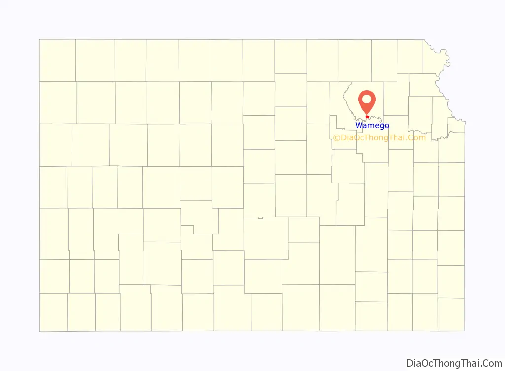
| State: | Kansas |
| County: | Pottawatomie County, Wabaunsee County |
| Incorporated: | 1869 |
| Elevation: | 991 ft (302 m) |
| Total Area: | 2.41 sq mi (6.25 km²) |
| Land Area: | 2.37 sq mi (6.14 km²) |
| Water Area: | 0.04 sq mi (0.10 km²) |
| Total Population: | 4,841 |
| Population Density: | 2,000/sq mi (770/km²) |
| ZIP code: | 66547 |
| Area code: | 785 |
| FIPS code: | 2075325 |
| Website: | wamego.org |
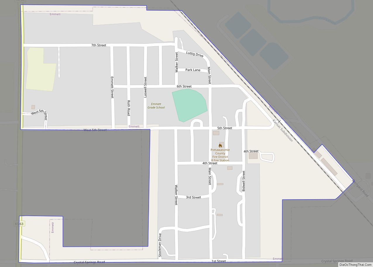
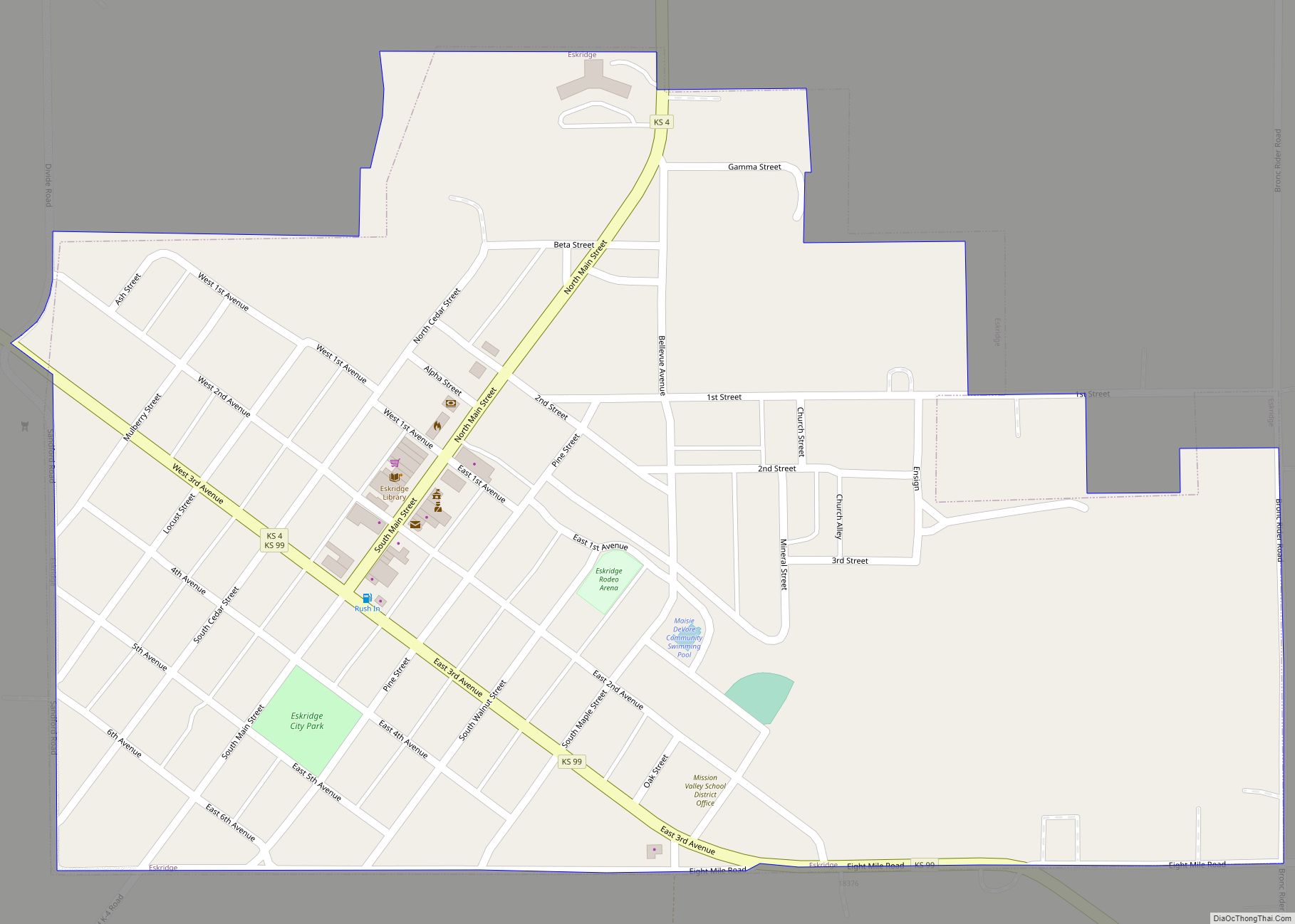
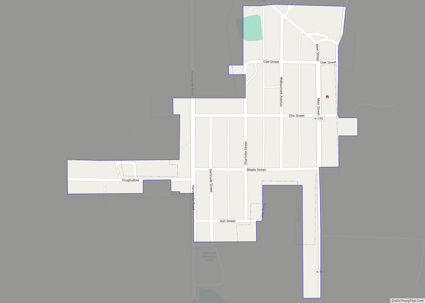
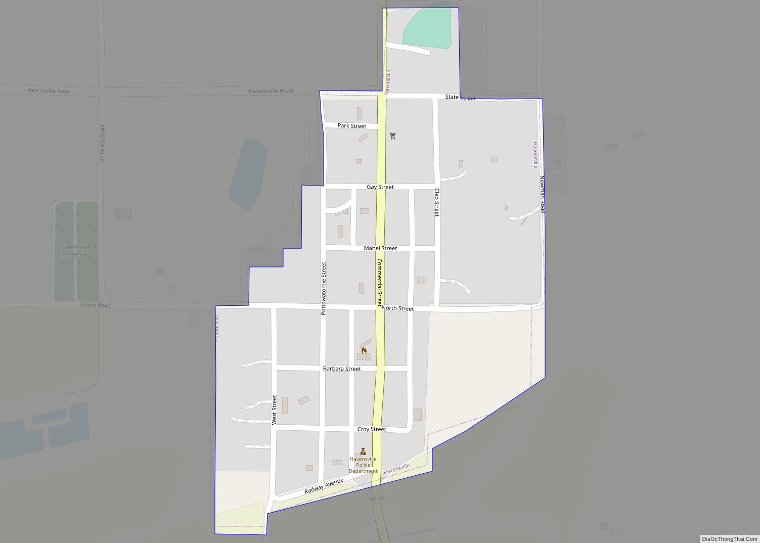
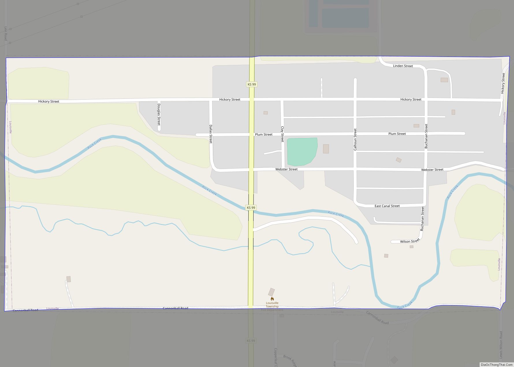
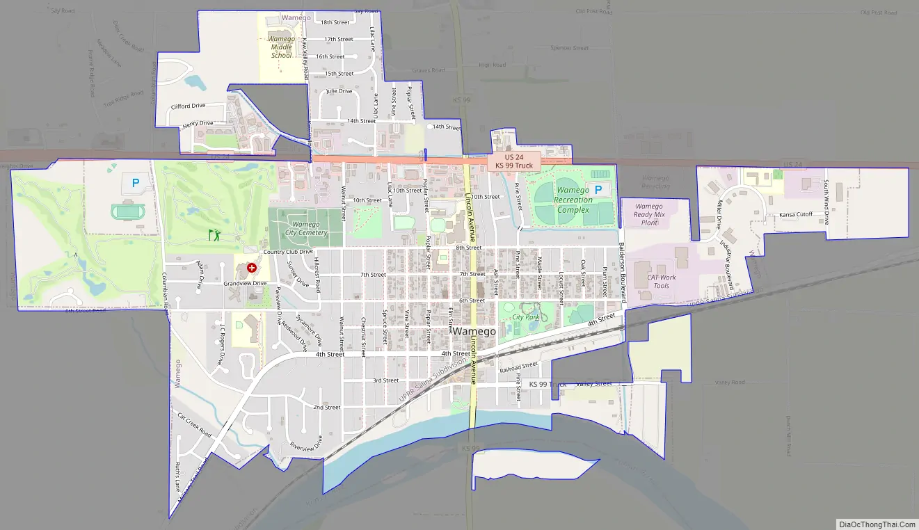
Online Interactive Map
Click on ![]() to view map in "full screen" mode.
to view map in "full screen" mode.
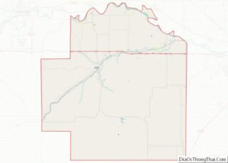
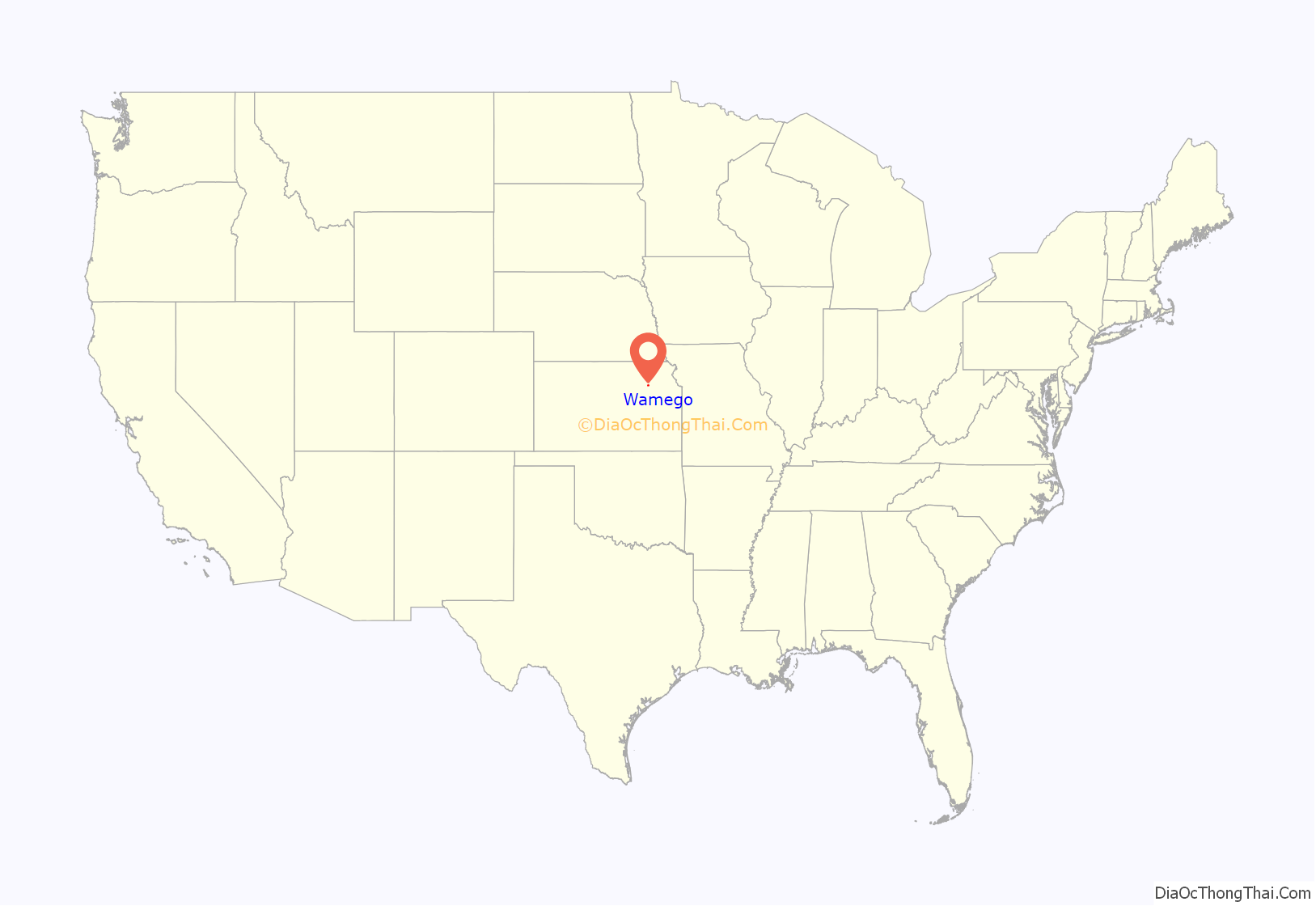
Wamego location map. Where is Wamego city?
History
Wamego was platted in 1866. It was named for a Potawatomi Native American chief.
The first post office in Wamego was established in October 1866.
Wamego Road Map
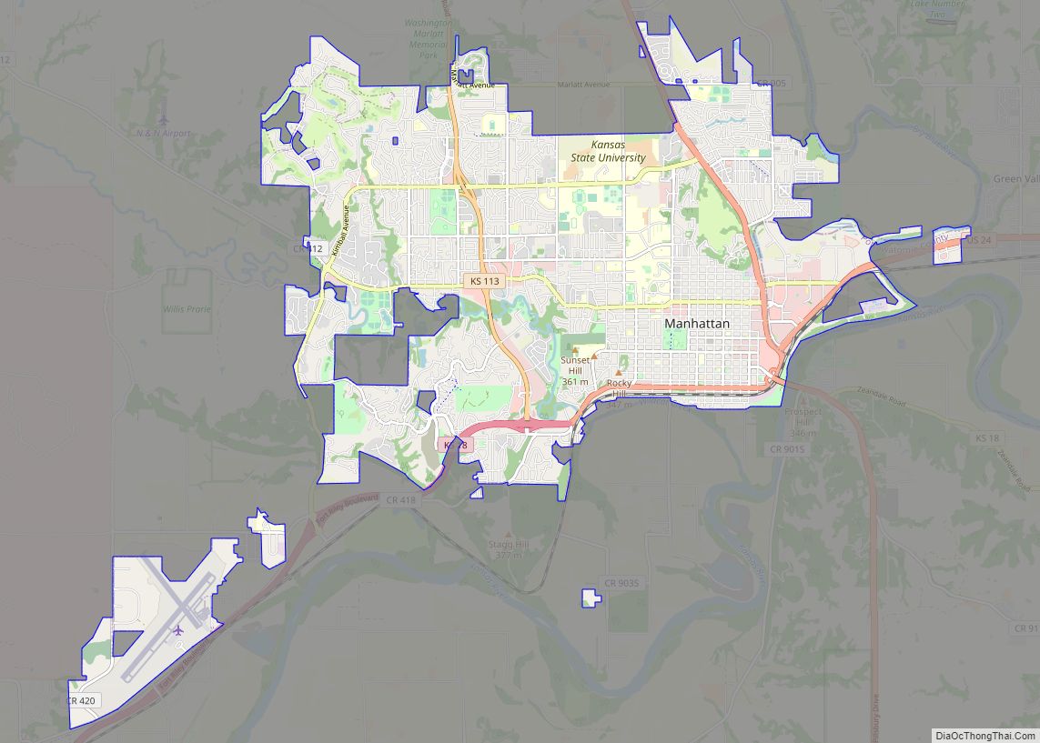
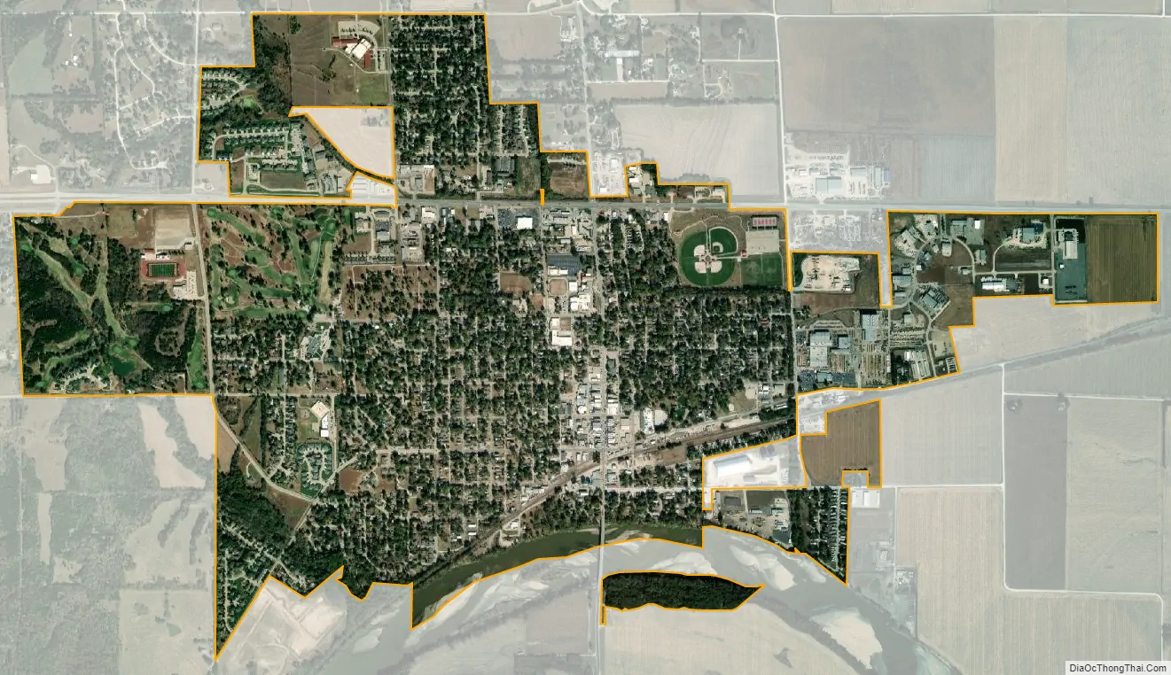
Wamego city Satellite Map
Geography
Wamego is located at 39°12′15″N 96°18′30″W / 39.20417°N 96.30833°W / 39.20417; -96.30833 (39.204074, -96.308328). According to the United States Census Bureau, the city has a total area of 2.25 square miles (5.83 km), of which 2.21 square miles (5.72 km) is land and 0.04 square miles (0.10 km) is water.
Wamego is located at the intersection of U.S. Route 24 and K-99. It is approximately 14 mi (23 km) east of Manhattan; and about 42 mi (68 km) west-northwest of Topeka. The Kansas River flows along the southern edge of the city.
Climate
The climate in this area is characterized by hot, humid summers and generally mild to cool winters. According to the Köppen Climate Classification system, Wamego has a humid subtropical climate, abbreviated “Cfa” on climate maps.
See also
Map of Kansas State and its subdivision:- Allen
- Anderson
- Atchison
- Barber
- Barton
- Bourbon
- Brown
- Butler
- Chase
- Chautauqua
- Cherokee
- Cheyenne
- Clark
- Clay
- Cloud
- Coffey
- Comanche
- Cowley
- Crawford
- Decatur
- Dickinson
- Doniphan
- Douglas
- Edwards
- Elk
- Ellis
- Ellsworth
- Finney
- Ford
- Franklin
- Geary
- Gove
- Graham
- Grant
- Gray
- Greeley
- Greenwood
- Hamilton
- Harper
- Harvey
- Haskell
- Hodgeman
- Jackson
- Jefferson
- Jewell
- Johnson
- Kearny
- Kingman
- Kiowa
- Labette
- Lane
- Leavenworth
- Lincoln
- Linn
- Logan
- Lyon
- Marion
- Marshall
- McPherson
- Meade
- Miami
- Mitchell
- Montgomery
- Morris
- Morton
- Nemaha
- Neosho
- Ness
- Norton
- Osage
- Osborne
- Ottawa
- Pawnee
- Phillips
- Pottawatomie
- Pratt
- Rawlins
- Reno
- Republic
- Rice
- Riley
- Rooks
- Rush
- Russell
- Saline
- Scott
- Sedgwick
- Seward
- Shawnee
- Sheridan
- Sherman
- Smith
- Stafford
- Stanton
- Stevens
- Sumner
- Thomas
- Trego
- Wabaunsee
- Wallace
- Washington
- Wichita
- Wilson
- Woodson
- Wyandotte
- Alabama
- Alaska
- Arizona
- Arkansas
- California
- Colorado
- Connecticut
- Delaware
- District of Columbia
- Florida
- Georgia
- Hawaii
- Idaho
- Illinois
- Indiana
- Iowa
- Kansas
- Kentucky
- Louisiana
- Maine
- Maryland
- Massachusetts
- Michigan
- Minnesota
- Mississippi
- Missouri
- Montana
- Nebraska
- Nevada
- New Hampshire
- New Jersey
- New Mexico
- New York
- North Carolina
- North Dakota
- Ohio
- Oklahoma
- Oregon
- Pennsylvania
- Rhode Island
- South Carolina
- South Dakota
- Tennessee
- Texas
- Utah
- Vermont
- Virginia
- Washington
- West Virginia
- Wisconsin
- Wyoming