Avoca (/ˈævoʊkə/) is a city in Murray County, Minnesota, United States. The population was 111 at the 2020 census.
| Name: | Avoca city |
|---|---|
| LSAD Code: | 25 |
| LSAD Description: | city (suffix) |
| State: | Minnesota |
| County: | Murray County |
| Elevation: | 1,539 ft (469 m) |
| Total Area: | 1.17 sq mi (3.03 km²) |
| Land Area: | 0.96 sq mi (2.50 km²) |
| Water Area: | 0.20 sq mi (0.53 km²) |
| Total Population: | 111 |
| Population Density: | 115.15/sq mi (44.46/km²) |
| ZIP code: | 56114 |
| Area code: | 507 |
| FIPS code: | 2703052 |
| GNISfeature ID: | 2394041 |
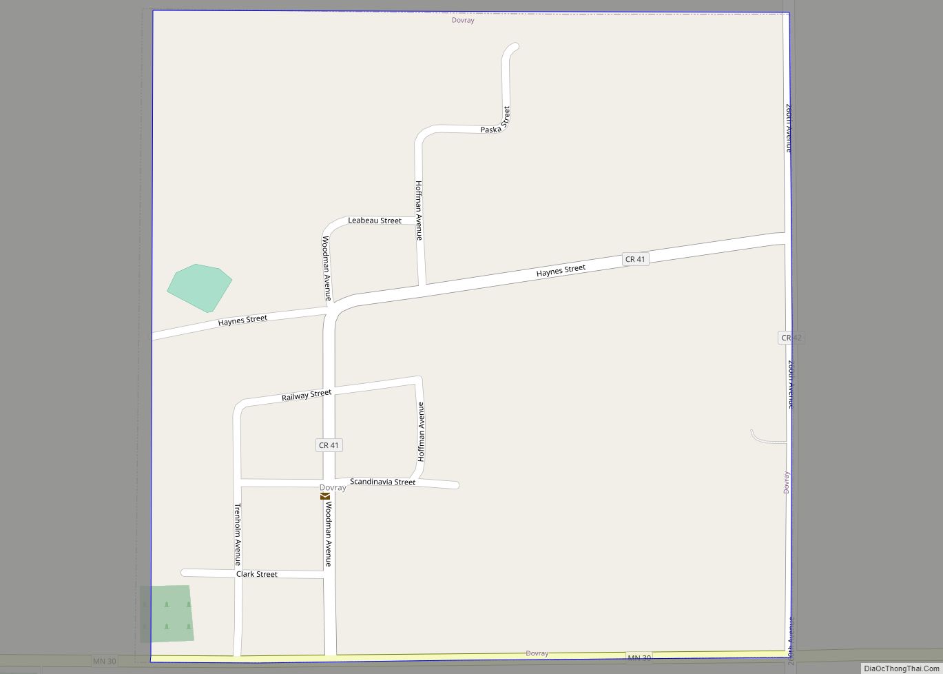
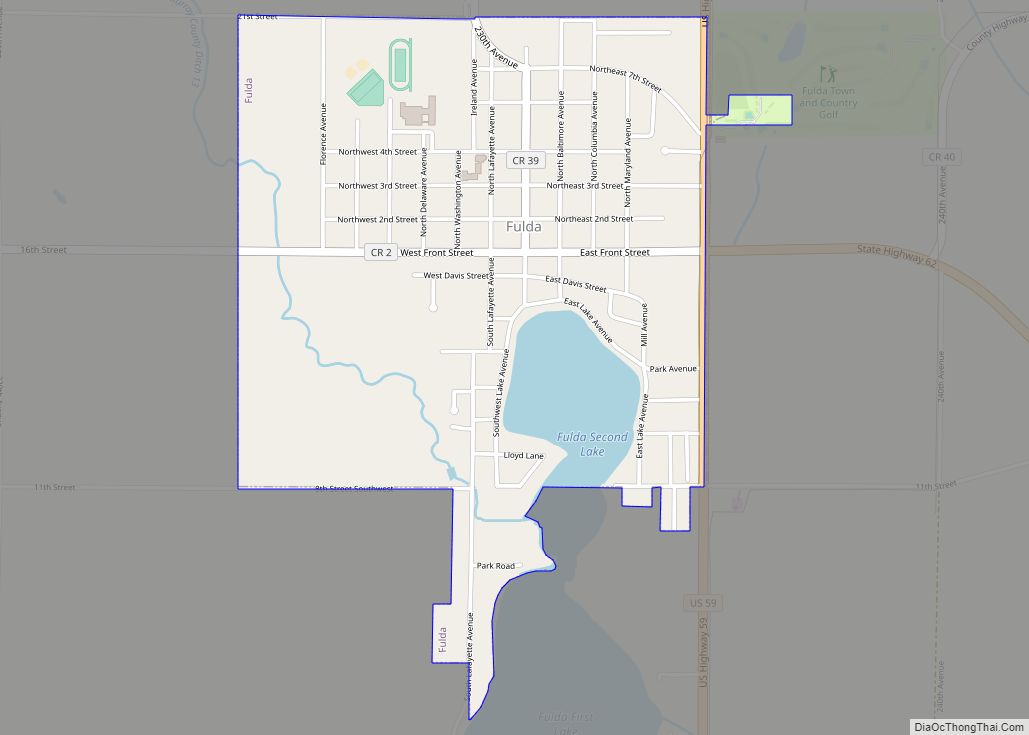
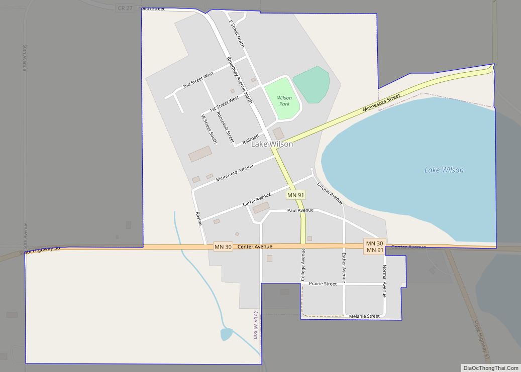
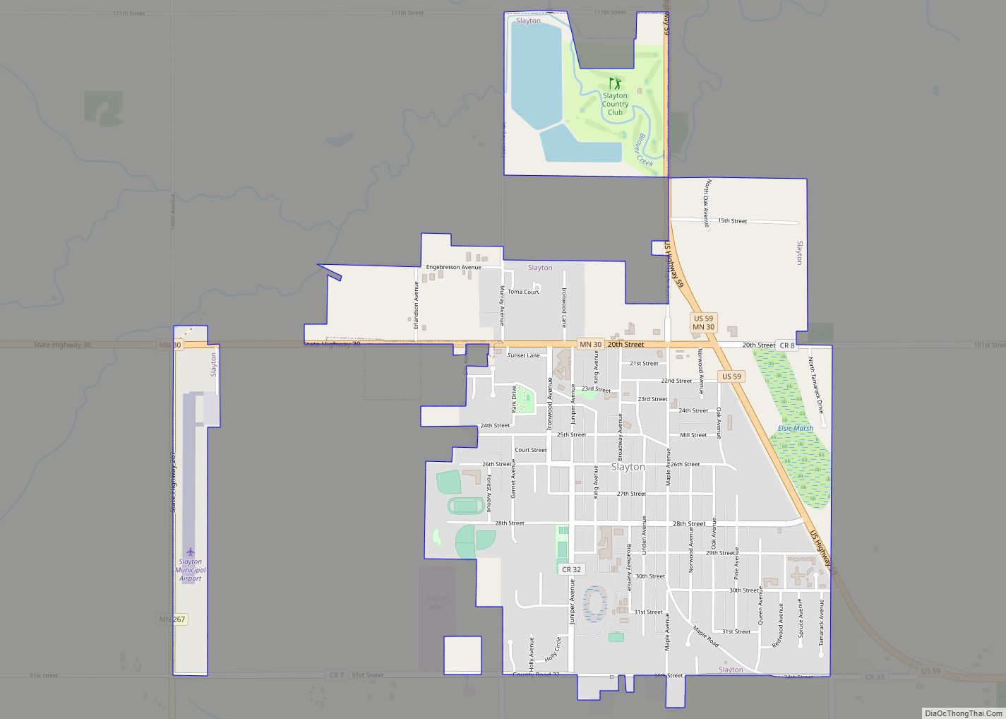
Online Interactive Map
Click on ![]() to view map in "full screen" mode.
to view map in "full screen" mode.
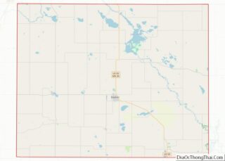
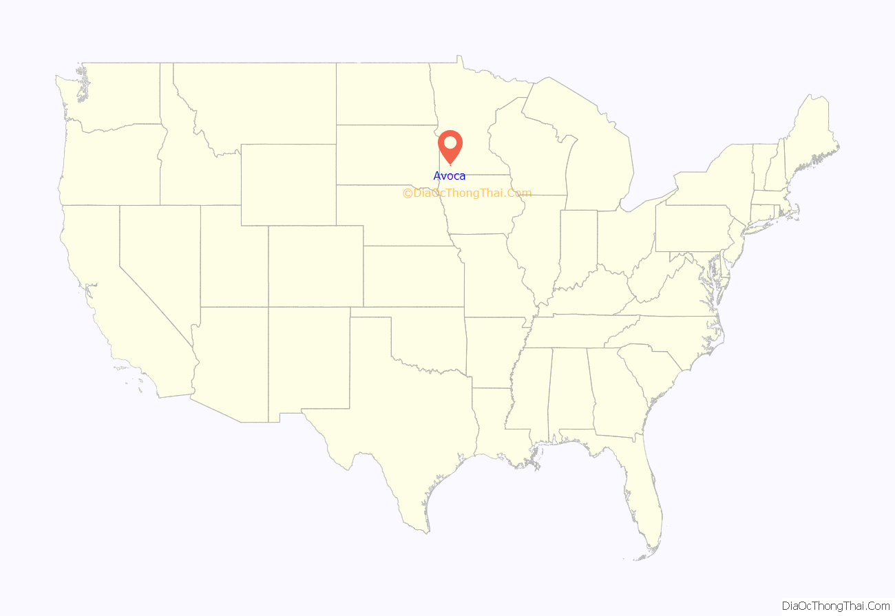
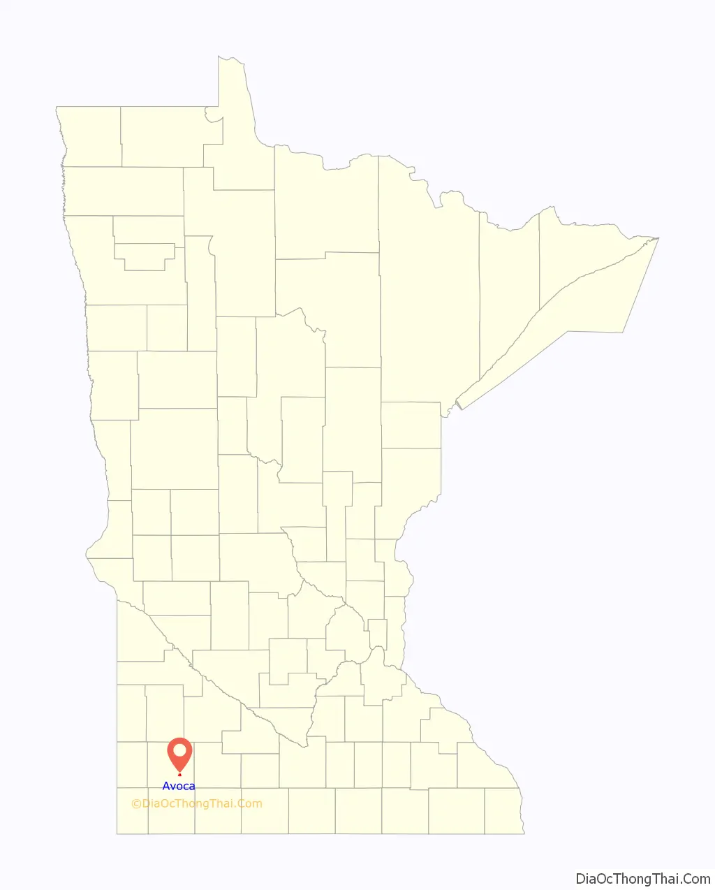
Avoca location map. Where is Avoca city?
History
In 1879, Avoca was named for the village of Avoca in County Wicklow, Ireland.
A Catholic school for Indian girls ran circa 1882-1896 and later reopened in 1905 as a boys military school until it was destroyed by fire in 1910.
St. Rose of Lima Catholic Church suffered a fire in 1889 but was rebuilt though it is now closed and the structure torn down. Three former Lutheran churches long ago merged into Faith Evangelical Lutheran Church (ELCA), which closed in August, 2018. The nondenominational Word of Faith Fellowship, established 1983, is the only church currently in town.
A public school was built in 1894, but is no longer in use.
Avoca suffered two devastating fires, first in 1907 then again in 1952.
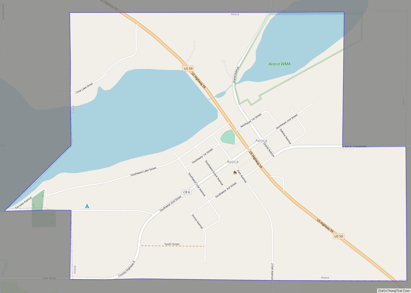
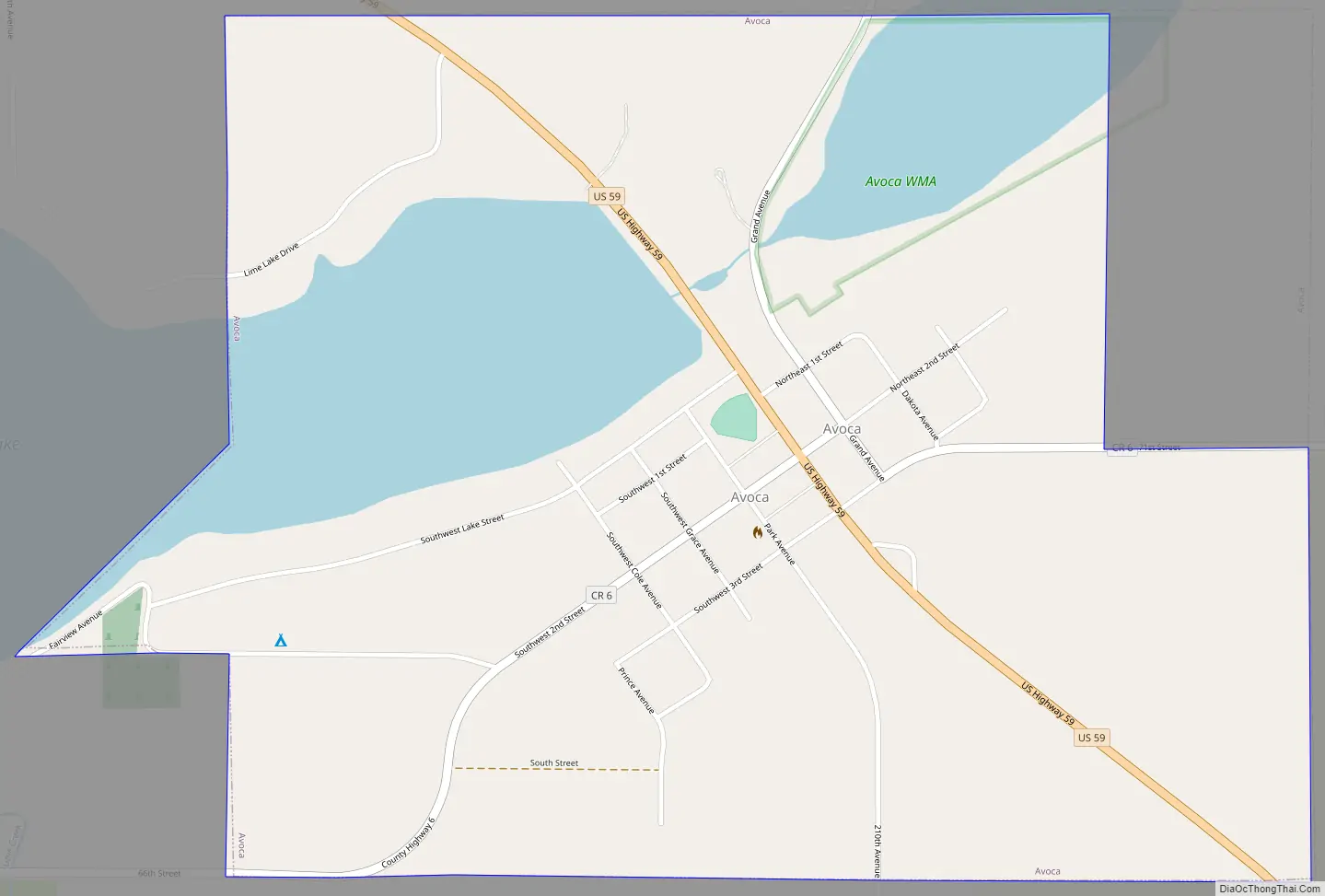
Avoca Road Map
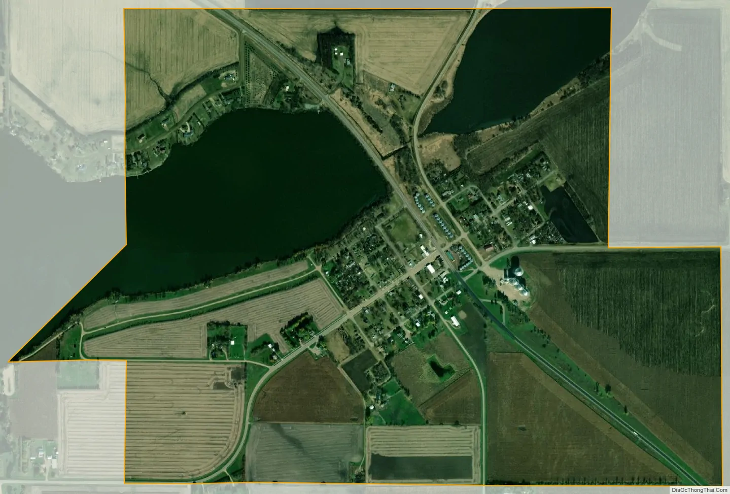
Avoca city Satellite Map
Geography
According to the United States Census Bureau, the city has a total area of 1.17 square miles (3.03 km), of which 0.97 square miles (2.51 km) is land and 0.20 square miles (0.52 km) is water. It is just south of Lime Lake.
U.S. Highway 59 and Murray County Roads 6 and 38 are the main routes in the community.
See also
Map of Minnesota State and its subdivision:- Aitkin
- Anoka
- Becker
- Beltrami
- Benton
- Big Stone
- Blue Earth
- Brown
- Carlton
- Carver
- Cass
- Chippewa
- Chisago
- Clay
- Clearwater
- Cook
- Cottonwood
- Crow Wing
- Dakota
- Dodge
- Douglas
- Faribault
- Fillmore
- Freeborn
- Goodhue
- Grant
- Hennepin
- Houston
- Hubbard
- Isanti
- Itasca
- Jackson
- Kanabec
- Kandiyohi
- Kittson
- Koochiching
- Lac qui Parle
- Lake
- Lake of the Woods
- Lake Superior
- Le Sueur
- Lincoln
- Lyon
- Mahnomen
- Marshall
- Martin
- McLeod
- Meeker
- Mille Lacs
- Morrison
- Mower
- Murray
- Nicollet
- Nobles
- Norman
- Olmsted
- Otter Tail
- Pennington
- Pine
- Pipestone
- Polk
- Pope
- Ramsey
- Red Lake
- Redwood
- Renville
- Rice
- Rock
- Roseau
- Saint Louis
- Scott
- Sherburne
- Sibley
- Stearns
- Steele
- Stevens
- Swift
- Todd
- Traverse
- Wabasha
- Wadena
- Waseca
- Washington
- Watonwan
- Wilkin
- Winona
- Wright
- Yellow Medicine
- Alabama
- Alaska
- Arizona
- Arkansas
- California
- Colorado
- Connecticut
- Delaware
- District of Columbia
- Florida
- Georgia
- Hawaii
- Idaho
- Illinois
- Indiana
- Iowa
- Kansas
- Kentucky
- Louisiana
- Maine
- Maryland
- Massachusetts
- Michigan
- Minnesota
- Mississippi
- Missouri
- Montana
- Nebraska
- Nevada
- New Hampshire
- New Jersey
- New Mexico
- New York
- North Carolina
- North Dakota
- Ohio
- Oklahoma
- Oregon
- Pennsylvania
- Rhode Island
- South Carolina
- South Dakota
- Tennessee
- Texas
- Utah
- Vermont
- Virginia
- Washington
- West Virginia
- Wisconsin
- Wyoming