Bejou (/ˈbiːʒu/ BEE-zhoo) is a city in Mahnomen County, Minnesota, United States. The population was 89 at the 2010 census. It is contained wholly within the White Earth Reservation.
| Name: | Bejou city |
|---|---|
| LSAD Code: | 25 |
| LSAD Description: | city (suffix) |
| State: | Minnesota |
| County: | Mahnomen County |
| Elevation: | 1,220 ft (372 m) |
| Total Area: | 0.29 sq mi (0.74 km²) |
| Land Area: | 0.29 sq mi (0.74 km²) |
| Water Area: | 0.00 sq mi (0.00 km²) |
| Total Population: | 84 |
| Population Density: | 292.68/sq mi (113.15/km²) |
| ZIP code: | 56516 |
| Area code: | 218 |
| FIPS code: | 2704672 |
| GNISfeature ID: | 0639872 |
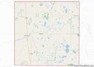
Online Interactive Map
Click on ![]() to view map in "full screen" mode.
to view map in "full screen" mode.
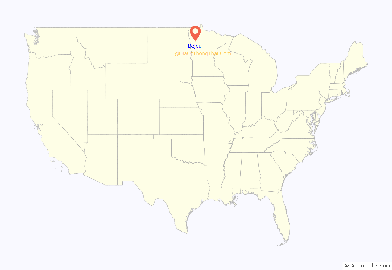
Bejou location map. Where is Bejou city?
History
A post office called Bejou has been in operation since 1906. Some sources state that the town got its name from a corruption of the French word Bonjour, reasoning that the name is related to the Ojibwe word Boozhoo. However, these two words are linguistic false friends, and are not etymologically related. The town’s name likely comes from the Ojibwe word bizhiw meaning “Lynx”, a type of cat indigenous to North America, and one of the doodems of the Ojibwe people.
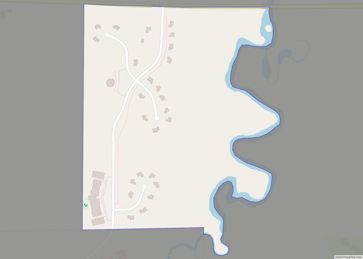
Bejou Road Map
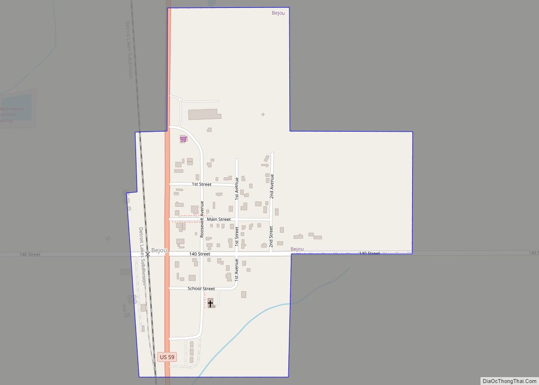
Bejou city Satellite Map
Geography
According to the United States Census Bureau, the city has a total area of 0.40 square miles (1.04 km), all of it land.
See also
Map of Minnesota State and its subdivision:- Aitkin
- Anoka
- Becker
- Beltrami
- Benton
- Big Stone
- Blue Earth
- Brown
- Carlton
- Carver
- Cass
- Chippewa
- Chisago
- Clay
- Clearwater
- Cook
- Cottonwood
- Crow Wing
- Dakota
- Dodge
- Douglas
- Faribault
- Fillmore
- Freeborn
- Goodhue
- Grant
- Hennepin
- Houston
- Hubbard
- Isanti
- Itasca
- Jackson
- Kanabec
- Kandiyohi
- Kittson
- Koochiching
- Lac qui Parle
- Lake
- Lake of the Woods
- Lake Superior
- Le Sueur
- Lincoln
- Lyon
- Mahnomen
- Marshall
- Martin
- McLeod
- Meeker
- Mille Lacs
- Morrison
- Mower
- Murray
- Nicollet
- Nobles
- Norman
- Olmsted
- Otter Tail
- Pennington
- Pine
- Pipestone
- Polk
- Pope
- Ramsey
- Red Lake
- Redwood
- Renville
- Rice
- Rock
- Roseau
- Saint Louis
- Scott
- Sherburne
- Sibley
- Stearns
- Steele
- Stevens
- Swift
- Todd
- Traverse
- Wabasha
- Wadena
- Waseca
- Washington
- Watonwan
- Wilkin
- Winona
- Wright
- Yellow Medicine
- Alabama
- Alaska
- Arizona
- Arkansas
- California
- Colorado
- Connecticut
- Delaware
- District of Columbia
- Florida
- Georgia
- Hawaii
- Idaho
- Illinois
- Indiana
- Iowa
- Kansas
- Kentucky
- Louisiana
- Maine
- Maryland
- Massachusetts
- Michigan
- Minnesota
- Mississippi
- Missouri
- Montana
- Nebraska
- Nevada
- New Hampshire
- New Jersey
- New Mexico
- New York
- North Carolina
- North Dakota
- Ohio
- Oklahoma
- Oregon
- Pennsylvania
- Rhode Island
- South Carolina
- South Dakota
- Tennessee
- Texas
- Utah
- Vermont
- Virginia
- Washington
- West Virginia
- Wisconsin
- Wyoming
