Belview is a city in Redwood County, Minnesota, United States. The population was 384 at the 2010 census.
| Name: | Belview city |
|---|---|
| LSAD Code: | 25 |
| LSAD Description: | city (suffix) |
| State: | Minnesota |
| County: | Redwood County |
| Elevation: | 1,070 ft (326 m) |
| Total Area: | 0.92 sq mi (2.37 km²) |
| Land Area: | 0.92 sq mi (2.37 km²) |
| Water Area: | 0.00 sq mi (0.00 km²) |
| Total Population: | 291 |
| Population Density: | 317.69/sq mi (122.64/km²) |
| ZIP code: | 56214 |
| Area code: | 507 |
| FIPS code: | 2705050 |
| GNISfeature ID: | 0639908 |
| Website: | www.belview.org |
Online Interactive Map
Click on ![]() to view map in "full screen" mode.
to view map in "full screen" mode.
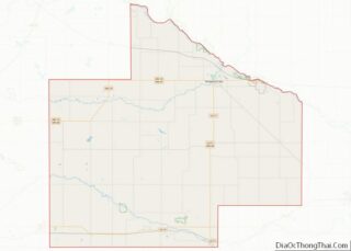
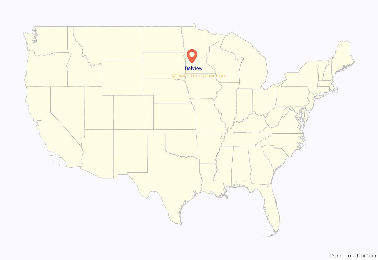
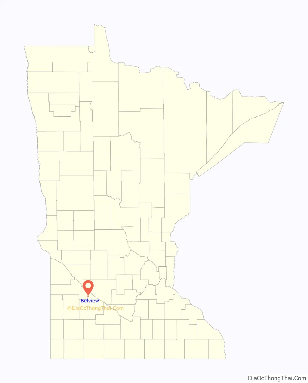
Belview location map. Where is Belview city?
History
A post office called Belview has been in operation since 1887. Belview was platted in 1889. The name Belview is derived from the French language, meaning “beautiful view”. Belview was incorporated in 1893.
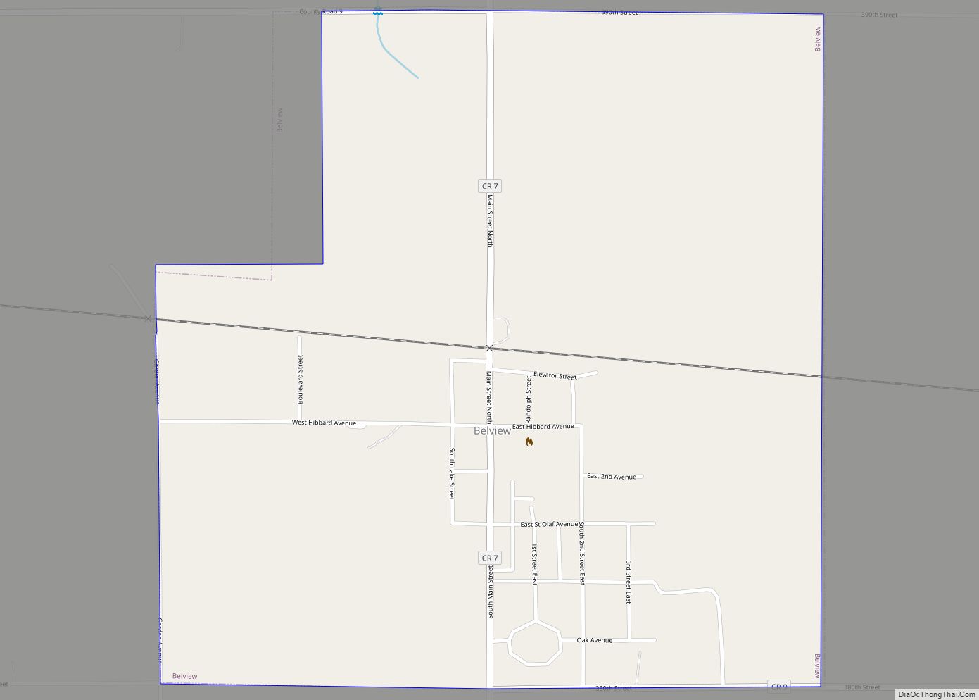
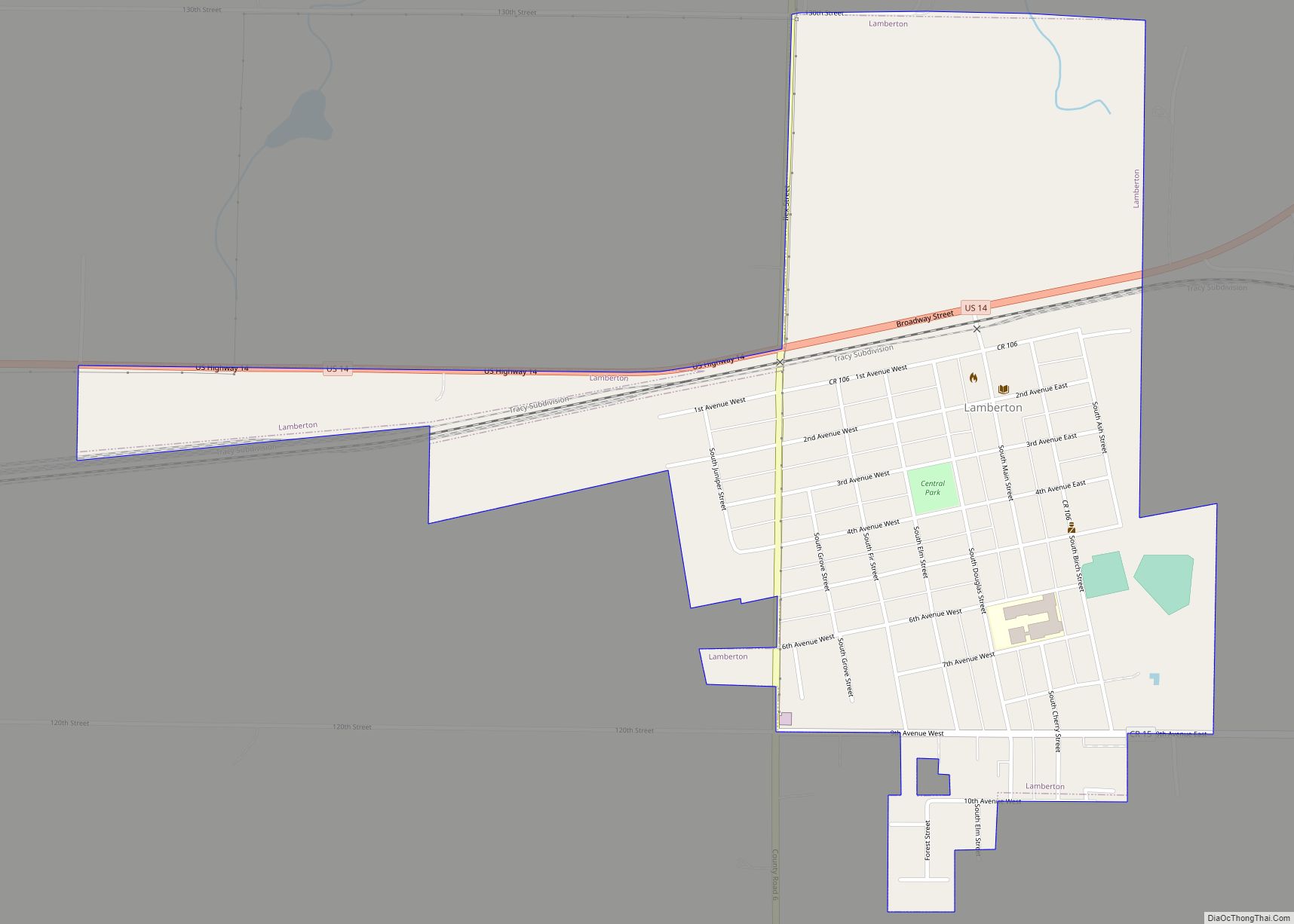
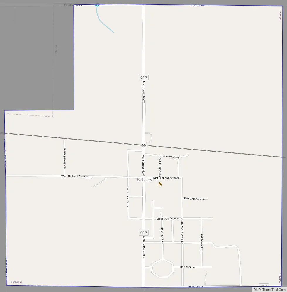
Belview Road Map
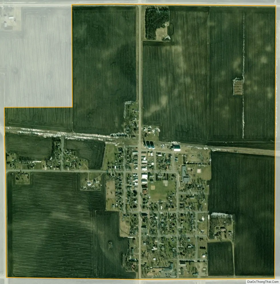
Belview city Satellite Map
Geography
According to the United States Census Bureau, the city has a total area of 0.95 square miles (2.46 km), all land.
Belview lies at the intersection of County Roads 7 and 9:
- County Road 7 runs north–south, connecting Belview with Sacred Heart to the north and Seaforth to the south. Minnesota State Highways 19 and 67 lie a few miles south of Belview at an intersection with County Road 7.
- County Road 9 runs east–west, connecting Belview with Delhi to the east and Echo to the west.
See also
Map of Minnesota State and its subdivision:- Aitkin
- Anoka
- Becker
- Beltrami
- Benton
- Big Stone
- Blue Earth
- Brown
- Carlton
- Carver
- Cass
- Chippewa
- Chisago
- Clay
- Clearwater
- Cook
- Cottonwood
- Crow Wing
- Dakota
- Dodge
- Douglas
- Faribault
- Fillmore
- Freeborn
- Goodhue
- Grant
- Hennepin
- Houston
- Hubbard
- Isanti
- Itasca
- Jackson
- Kanabec
- Kandiyohi
- Kittson
- Koochiching
- Lac qui Parle
- Lake
- Lake of the Woods
- Lake Superior
- Le Sueur
- Lincoln
- Lyon
- Mahnomen
- Marshall
- Martin
- McLeod
- Meeker
- Mille Lacs
- Morrison
- Mower
- Murray
- Nicollet
- Nobles
- Norman
- Olmsted
- Otter Tail
- Pennington
- Pine
- Pipestone
- Polk
- Pope
- Ramsey
- Red Lake
- Redwood
- Renville
- Rice
- Rock
- Roseau
- Saint Louis
- Scott
- Sherburne
- Sibley
- Stearns
- Steele
- Stevens
- Swift
- Todd
- Traverse
- Wabasha
- Wadena
- Waseca
- Washington
- Watonwan
- Wilkin
- Winona
- Wright
- Yellow Medicine
- Alabama
- Alaska
- Arizona
- Arkansas
- California
- Colorado
- Connecticut
- Delaware
- District of Columbia
- Florida
- Georgia
- Hawaii
- Idaho
- Illinois
- Indiana
- Iowa
- Kansas
- Kentucky
- Louisiana
- Maine
- Maryland
- Massachusetts
- Michigan
- Minnesota
- Mississippi
- Missouri
- Montana
- Nebraska
- Nevada
- New Hampshire
- New Jersey
- New Mexico
- New York
- North Carolina
- North Dakota
- Ohio
- Oklahoma
- Oregon
- Pennsylvania
- Rhode Island
- South Carolina
- South Dakota
- Tennessee
- Texas
- Utah
- Vermont
- Virginia
- Washington
- West Virginia
- Wisconsin
- Wyoming