Caledonia is a city and the county seat of Houston County, Minnesota, United States and is part of the La Crosse, Wisconsin Metropolitan Statistical Area. The population was 2,847 at the 2020 census.
| Name: | Caledonia city |
|---|---|
| LSAD Code: | 25 |
| LSAD Description: | city (suffix) |
| State: | Minnesota |
| County: | Houston County |
| Founded: | 1854 |
| Elevation: | 1,181 ft (360 m) |
| Total Area: | 2.82 sq mi (7.32 km²) |
| Land Area: | 2.82 sq mi (7.32 km²) |
| Water Area: | 0.00 sq mi (0.00 km²) |
| Total Population: | 2,847 |
| Population Density: | 1,008.14/sq mi (389.18/km²) |
| ZIP code: | 55921 |
| Area code: | 507 |
| FIPS code: | 2709226 |
| GNISfeature ID: | 0640732 |
Online Interactive Map
Click on ![]() to view map in "full screen" mode.
to view map in "full screen" mode.
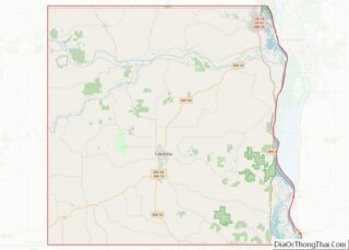
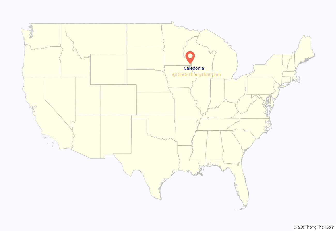
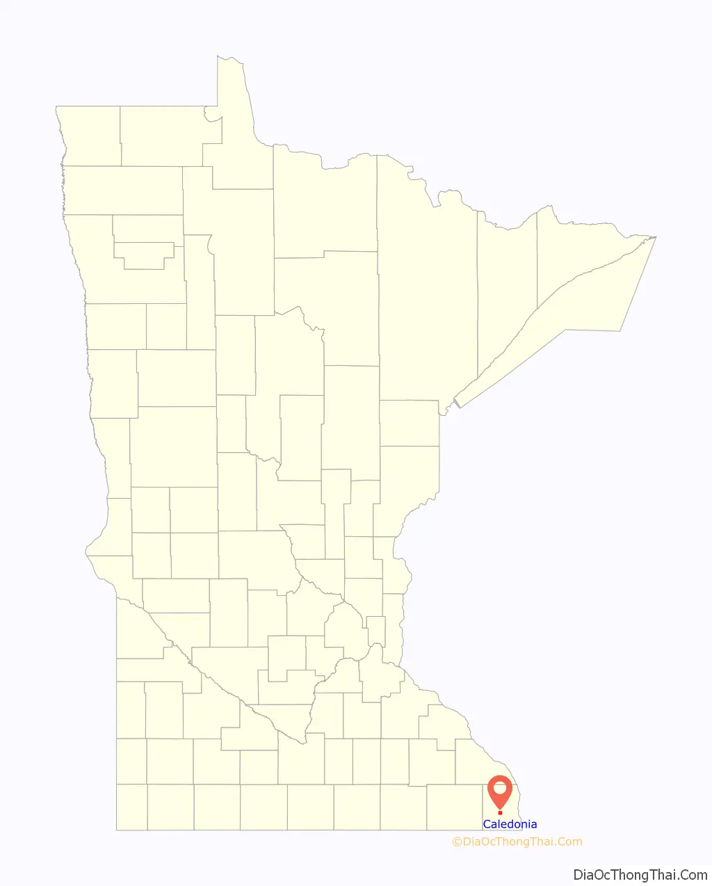
Caledonia location map. Where is Caledonia city?
History
Caledonia was platted in 1854–1855. The town was named by founder Col. Samuel McPhail for the ancient Roman word for Scotland. A post office has been in operation at Caledonia since 1855. Caledonia was incorporated in 1870, and was reincorporated in 1889.
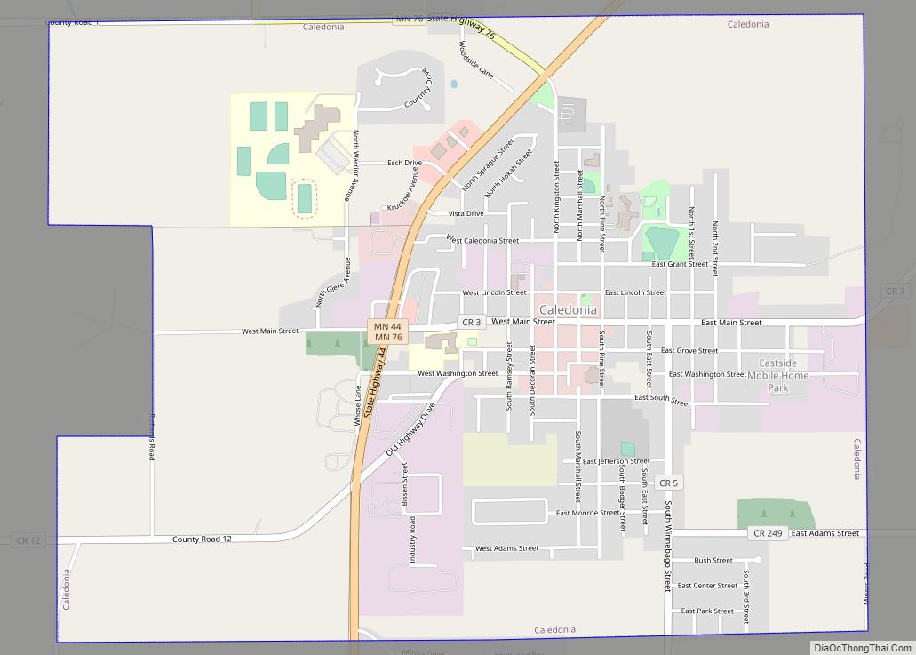
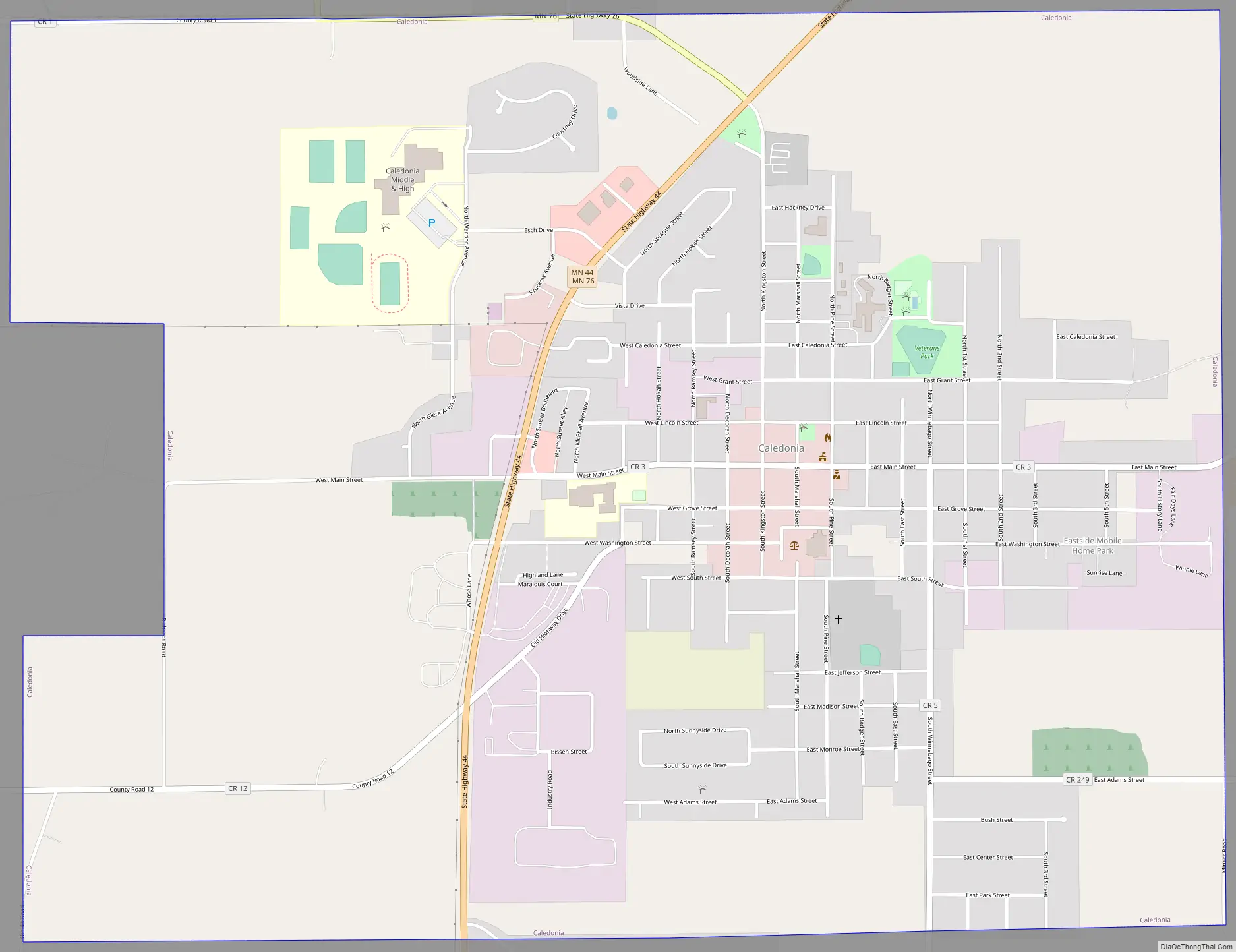
Caledonia Road Map
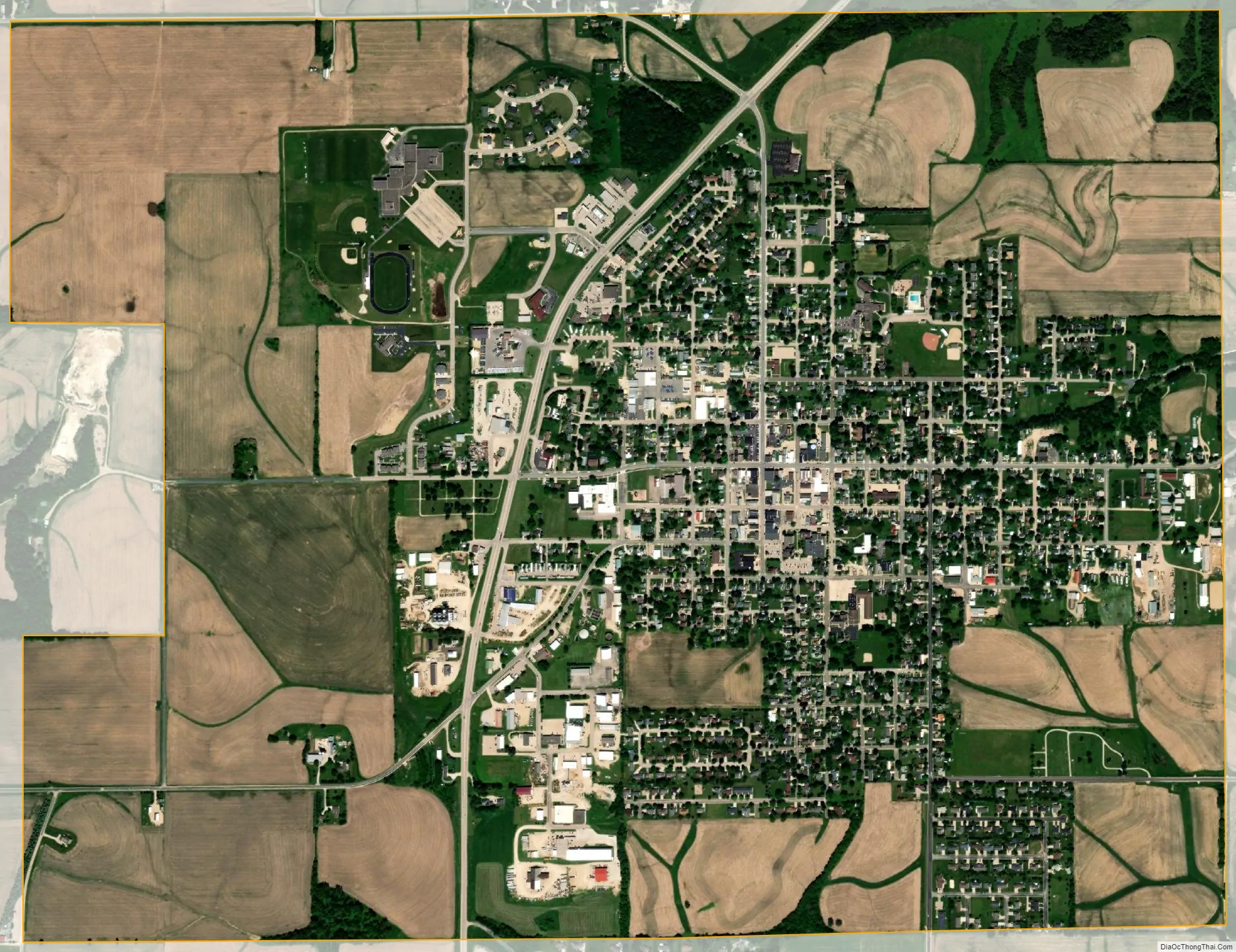
Caledonia city Satellite Map
Geography
According to the United States Census Bureau, the city has a total area of 2.84 square miles (7.36 km), all land. Caledonia is located 17 miles southwest of La Crosse, Wisconsin.
Minnesota Highway 44 and Minnesota Highway 76 are two of the main routes in the community.
Climate
See also
Map of Minnesota State and its subdivision:- Aitkin
- Anoka
- Becker
- Beltrami
- Benton
- Big Stone
- Blue Earth
- Brown
- Carlton
- Carver
- Cass
- Chippewa
- Chisago
- Clay
- Clearwater
- Cook
- Cottonwood
- Crow Wing
- Dakota
- Dodge
- Douglas
- Faribault
- Fillmore
- Freeborn
- Goodhue
- Grant
- Hennepin
- Houston
- Hubbard
- Isanti
- Itasca
- Jackson
- Kanabec
- Kandiyohi
- Kittson
- Koochiching
- Lac qui Parle
- Lake
- Lake of the Woods
- Lake Superior
- Le Sueur
- Lincoln
- Lyon
- Mahnomen
- Marshall
- Martin
- McLeod
- Meeker
- Mille Lacs
- Morrison
- Mower
- Murray
- Nicollet
- Nobles
- Norman
- Olmsted
- Otter Tail
- Pennington
- Pine
- Pipestone
- Polk
- Pope
- Ramsey
- Red Lake
- Redwood
- Renville
- Rice
- Rock
- Roseau
- Saint Louis
- Scott
- Sherburne
- Sibley
- Stearns
- Steele
- Stevens
- Swift
- Todd
- Traverse
- Wabasha
- Wadena
- Waseca
- Washington
- Watonwan
- Wilkin
- Winona
- Wright
- Yellow Medicine
- Alabama
- Alaska
- Arizona
- Arkansas
- California
- Colorado
- Connecticut
- Delaware
- District of Columbia
- Florida
- Georgia
- Hawaii
- Idaho
- Illinois
- Indiana
- Iowa
- Kansas
- Kentucky
- Louisiana
- Maine
- Maryland
- Massachusetts
- Michigan
- Minnesota
- Mississippi
- Missouri
- Montana
- Nebraska
- Nevada
- New Hampshire
- New Jersey
- New Mexico
- New York
- North Carolina
- North Dakota
- Ohio
- Oklahoma
- Oregon
- Pennsylvania
- Rhode Island
- South Carolina
- South Dakota
- Tennessee
- Texas
- Utah
- Vermont
- Virginia
- Washington
- West Virginia
- Wisconsin
- Wyoming