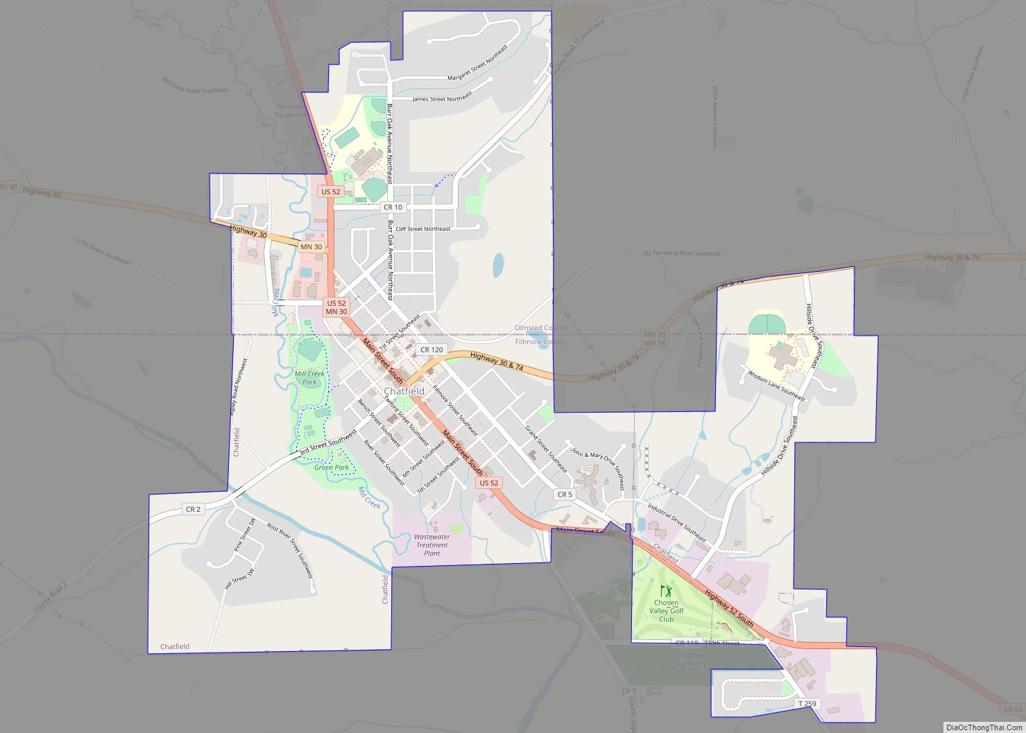
Chatfield is a city in Fillmore and Olmsted counties in the U.S. state of Minnesota. The population was 2,779 at the 2010 census. The city’s area is split almost equally between the two counties. Chatfield is known as “The Gateway to Bluff Country” and “The Chosen Valley”.
| Name: | Chatfield city |
|---|---|
| LSAD Code: | 25 |
| LSAD Description: | city (suffix) |
| State: | Minnesota |
| County: | Fillmore County, Olmsted County |
| Elevation: | 1,010 ft (308 m) |
| Total Area: | 2.59 sq mi (6.71 km²) |
| Land Area: | 2.59 sq mi (6.71 km²) |
| Water Area: | 0.00 sq mi (0.00 km²) |
| Total Population: | 2,997 |
| Population Density: | 1,157.59/sq mi (446.89/km²) |
| ZIP code: | 55923 |
| Area code: | 507 |
| FIPS code: | 2711008 |
| GNISfeature ID: | 0641133 |
| Website: | www.ci.chatfield.mn.us |
Online Interactive Map
Click on ![]() to view map in "full screen" mode.
to view map in "full screen" mode.
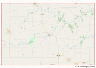
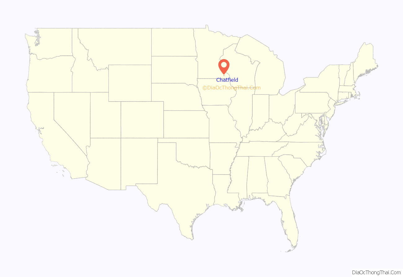
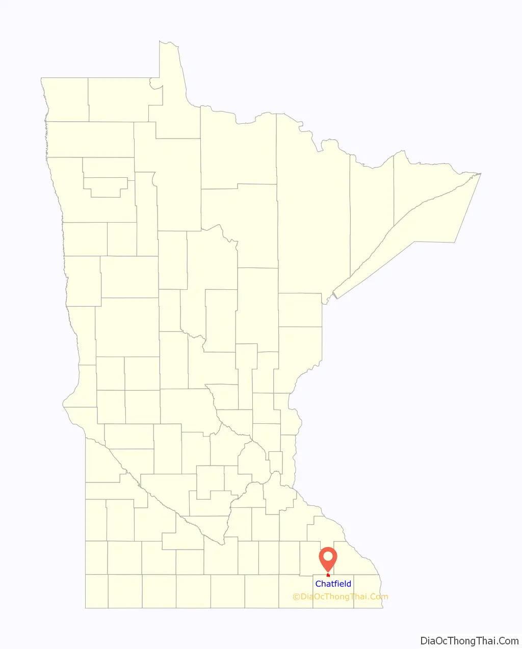
Chatfield location map. Where is Chatfield city?
History
The city was named after Judge Andrew G. Chatfield. It was founded in 1853 by Andrew Twiford, and originally served as the Fillmore county seat prior to the county being further divided. The founding population was overwhelmingly from New England. The New Englanders who founded Chatfield built a community that became so successful it was dubbed “the Chosen Valley”. During the American Civil War, the Chatfield Guards militia distinguished themselves as Company A of the 2nd Minnesota Volunteer Infantry, and their commander, former engineer and newspaperman Captain (later promoted to Colonel) Judson W. Bishop, later commanded the entire regiment.
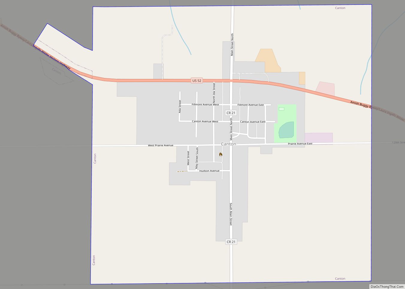
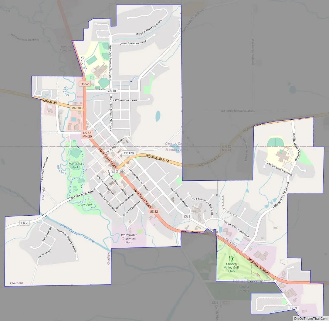
Chatfield Road Map
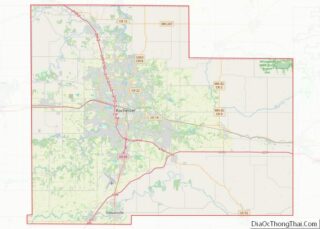
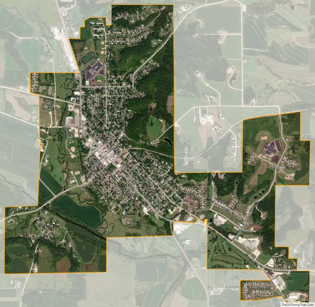
Chatfield city Satellite Map
Geography
According to the United States Census Bureau, the city has a total area of 2.64 square miles (6.84 km). It is also the home of the only stop light in Fillmore County, at the intersection of 3rd Street (Fillmore County Road 2) and Main Street. Chatfield has two waterways within its borders, the North Branch of the Root River and a tributary, Mill Creek.
U.S. Highway 52, State Highway 30, State Highway 74, and Fillmore County Road 2 are four of the main routes in the city.
The North Branch of the Root River flows nearby, and Mill Creek runs through the town. Mill Creek is a designated trout stream.
See also
Map of Minnesota State and its subdivision:- Aitkin
- Anoka
- Becker
- Beltrami
- Benton
- Big Stone
- Blue Earth
- Brown
- Carlton
- Carver
- Cass
- Chippewa
- Chisago
- Clay
- Clearwater
- Cook
- Cottonwood
- Crow Wing
- Dakota
- Dodge
- Douglas
- Faribault
- Fillmore
- Freeborn
- Goodhue
- Grant
- Hennepin
- Houston
- Hubbard
- Isanti
- Itasca
- Jackson
- Kanabec
- Kandiyohi
- Kittson
- Koochiching
- Lac qui Parle
- Lake
- Lake of the Woods
- Lake Superior
- Le Sueur
- Lincoln
- Lyon
- Mahnomen
- Marshall
- Martin
- McLeod
- Meeker
- Mille Lacs
- Morrison
- Mower
- Murray
- Nicollet
- Nobles
- Norman
- Olmsted
- Otter Tail
- Pennington
- Pine
- Pipestone
- Polk
- Pope
- Ramsey
- Red Lake
- Redwood
- Renville
- Rice
- Rock
- Roseau
- Saint Louis
- Scott
- Sherburne
- Sibley
- Stearns
- Steele
- Stevens
- Swift
- Todd
- Traverse
- Wabasha
- Wadena
- Waseca
- Washington
- Watonwan
- Wilkin
- Winona
- Wright
- Yellow Medicine
- Alabama
- Alaska
- Arizona
- Arkansas
- California
- Colorado
- Connecticut
- Delaware
- District of Columbia
- Florida
- Georgia
- Hawaii
- Idaho
- Illinois
- Indiana
- Iowa
- Kansas
- Kentucky
- Louisiana
- Maine
- Maryland
- Massachusetts
- Michigan
- Minnesota
- Mississippi
- Missouri
- Montana
- Nebraska
- Nevada
- New Hampshire
- New Jersey
- New Mexico
- New York
- North Carolina
- North Dakota
- Ohio
- Oklahoma
- Oregon
- Pennsylvania
- Rhode Island
- South Carolina
- South Dakota
- Tennessee
- Texas
- Utah
- Vermont
- Virginia
- Washington
- West Virginia
- Wisconsin
- Wyoming