Cosmos is a city in Meeker County, Minnesota, United States, along the South Fork of the Crow River. The population was 473 at the 2010 census.
| Name: | Cosmos city |
|---|---|
| LSAD Code: | 25 |
| LSAD Description: | city (suffix) |
| State: | Minnesota |
| County: | Meeker County |
| Elevation: | 1,112 ft (339 m) |
| Total Area: | 1.00 sq mi (2.59 km²) |
| Land Area: | 0.98 sq mi (2.53 km²) |
| Water Area: | 0.02 sq mi (0.06 km²) |
| Total Population: | 507 |
| Population Density: | 519.47/sq mi (200.60/km²) |
| ZIP code: | 56228 |
| Area code: | 320 |
| FIPS code: | 2713420 |
| GNISfeature ID: | 0641518 |
| Website: | www.cosmos-mn.com |
Online Interactive Map
Click on ![]() to view map in "full screen" mode.
to view map in "full screen" mode.
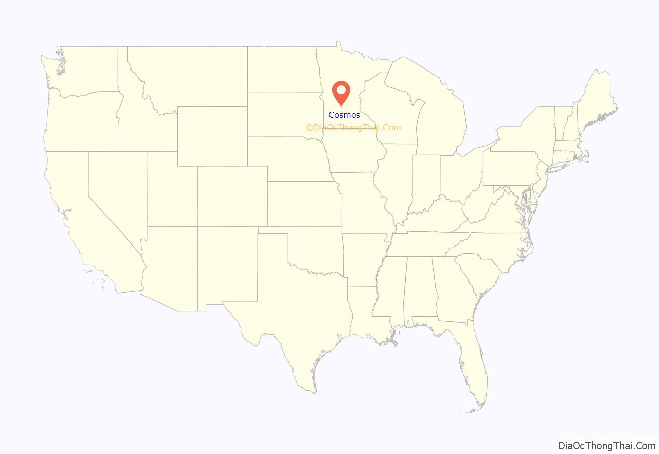
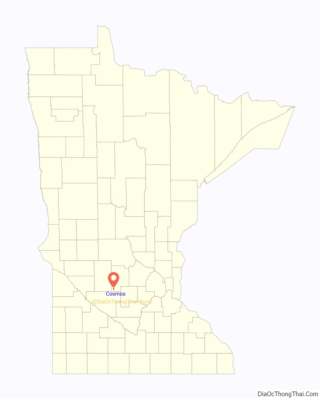
Cosmos location map. Where is Cosmos city?
History
The first settlers arrived in the area of present-day Cosmos in the late 1860s. Pioneer Daniel Hoyt is credited with the name as Cosmos “represents the university of created things and its synonym is harmony.”
Sometime around 1910, it was rumored the railroad was coming through Cosmos and the hamlet saw a surge in new businesses. It wasn’t until 1922 that the railroad did arrive. Once again, Cosmos saw the start of many new businesses as the Luce Railroad arrived. Today the Luce Line Trail runs from Cosmos to Minneapolis.
While the town had been organized in 1870, it wasn’t officially incorporated as a village until 1926.
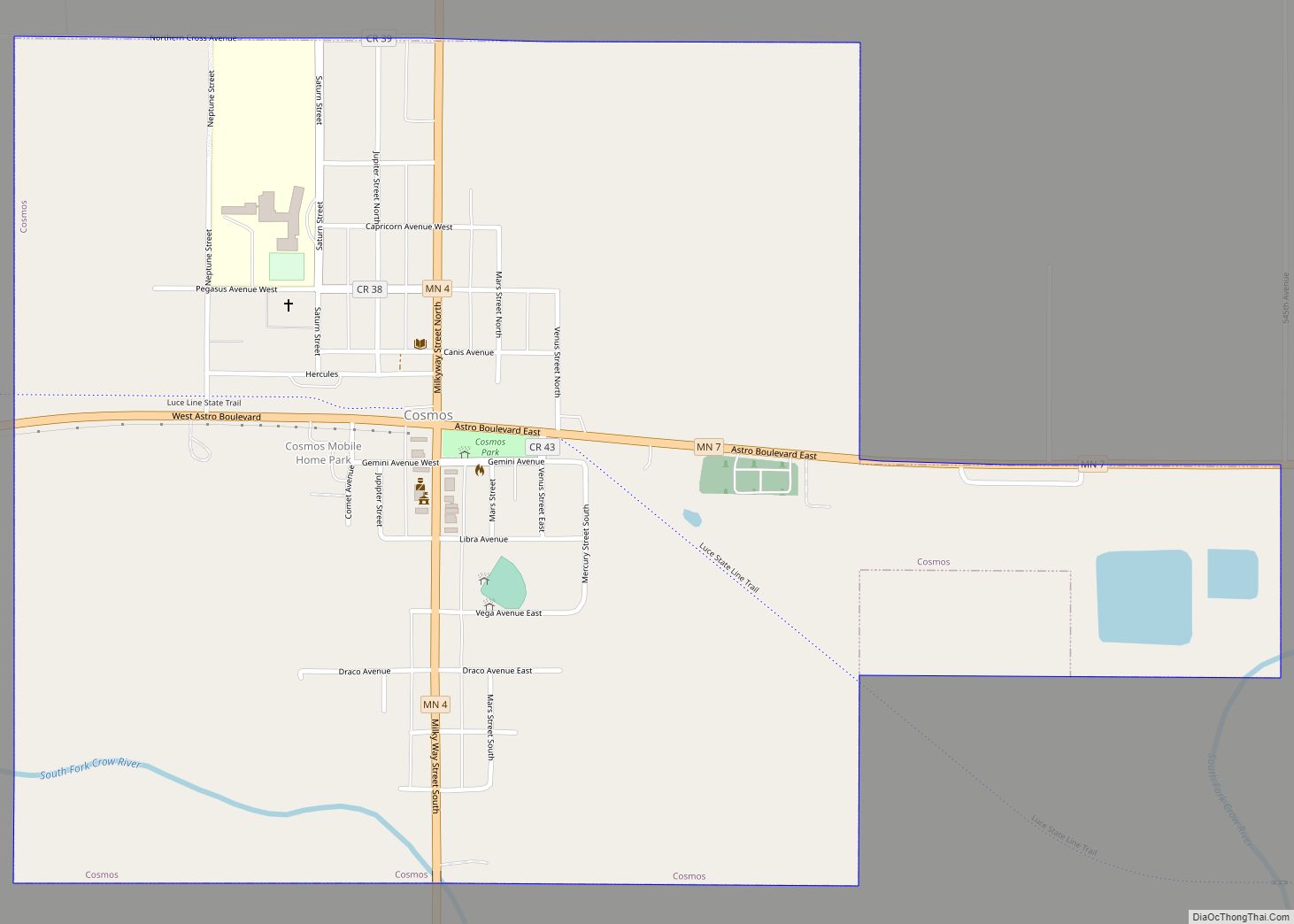
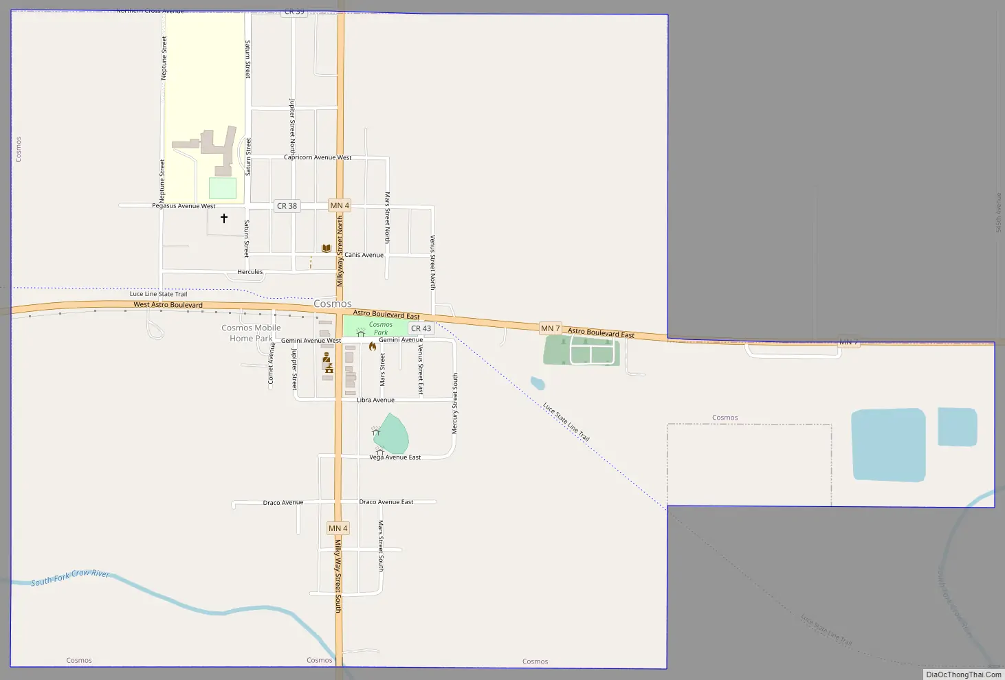
Cosmos Road Map
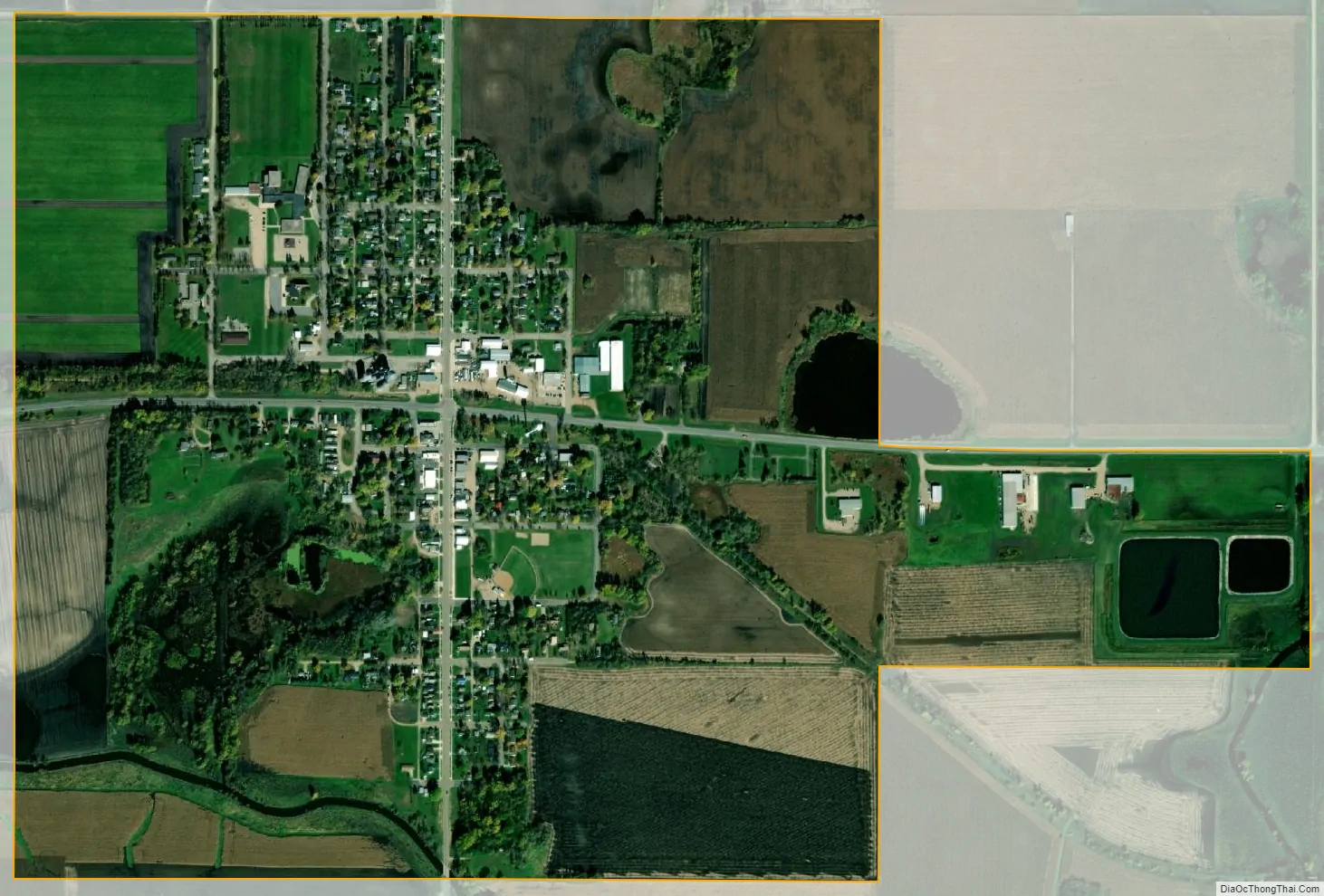
Cosmos city Satellite Map
Geography
Cosmos is located along the South Fork of the Crow River. Minnesota State Highways 4 (Milky Way Street) and 7 (Astro Blvd.) are the two main routes in the town. The space theme extends to other streets which are named after planets or constellations.
According to the United States Census Bureau, the city has a total area of 1.14 square miles (2.95 km), of which 1.12 square miles (2.90 km) is land and 0.02 square miles (0.05 km) is water.
See also
Map of Minnesota State and its subdivision:- Aitkin
- Anoka
- Becker
- Beltrami
- Benton
- Big Stone
- Blue Earth
- Brown
- Carlton
- Carver
- Cass
- Chippewa
- Chisago
- Clay
- Clearwater
- Cook
- Cottonwood
- Crow Wing
- Dakota
- Dodge
- Douglas
- Faribault
- Fillmore
- Freeborn
- Goodhue
- Grant
- Hennepin
- Houston
- Hubbard
- Isanti
- Itasca
- Jackson
- Kanabec
- Kandiyohi
- Kittson
- Koochiching
- Lac qui Parle
- Lake
- Lake of the Woods
- Lake Superior
- Le Sueur
- Lincoln
- Lyon
- Mahnomen
- Marshall
- Martin
- McLeod
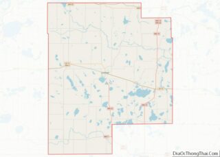
- Meeker
- Mille Lacs
- Morrison
- Mower
- Murray
- Nicollet
- Nobles
- Norman
- Olmsted
- Otter Tail
- Pennington
- Pine
- Pipestone
- Polk
- Pope
- Ramsey
- Red Lake
- Redwood
- Renville
- Rice
- Rock
- Roseau
- Saint Louis
- Scott
- Sherburne
- Sibley
- Stearns
- Steele
- Stevens
- Swift
- Todd
- Traverse
- Wabasha
- Wadena
- Waseca
- Washington
- Watonwan
- Wilkin
- Winona
- Wright
- Yellow Medicine
- Alabama
- Alaska
- Arizona
- Arkansas
- California
- Colorado
- Connecticut
- Delaware
- District of Columbia
- Florida
- Georgia
- Hawaii
- Idaho
- Illinois
- Indiana
- Iowa
- Kansas
- Kentucky
- Louisiana
- Maine
- Maryland
- Massachusetts
- Michigan
- Minnesota
- Mississippi
- Missouri
- Montana
- Nebraska
- Nevada
- New Hampshire
- New Jersey
- New Mexico
- New York
- North Carolina
- North Dakota
- Ohio
- Oklahoma
- Oregon
- Pennsylvania
- Rhode Island
- South Carolina
- South Dakota
- Tennessee
- Texas
- Utah
- Vermont
- Virginia
- Washington
- West Virginia
- Wisconsin
- Wyoming