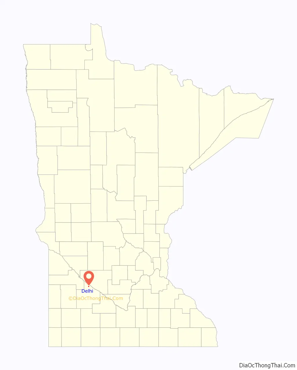
Delhi is a city in Redwood County, Minnesota, United States. The population was 70 at the 2010 census.
| Name: | Delhi city |
|---|---|
| LSAD Code: | 25 |
| LSAD Description: | city (suffix) |
| State: | Minnesota |
| County: | Redwood County |
| Elevation: | 1,030 ft (314 m) |
| Total Area: | 0.76 sq mi (1.97 km²) |
| Land Area: | 0.76 sq mi (1.97 km²) |
| Water Area: | 0.00 sq mi (0.00 km²) |
| Total Population: | 46 |
| Population Density: | 60.45/sq mi (23.35/km²) |
| ZIP code: | 56283 |
| Area code: | 507 |
| FIPS code: | 2715544 |
| GNISfeature ID: | 0642755 |
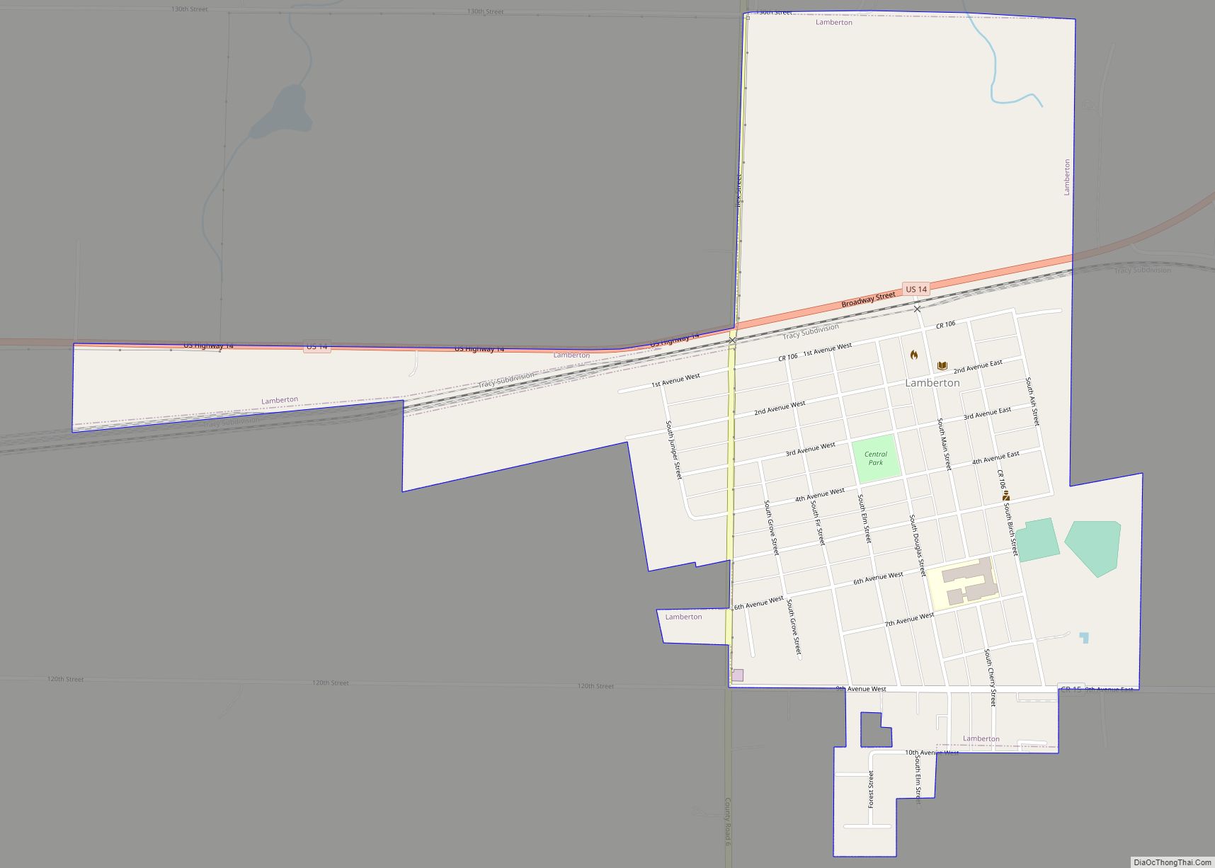
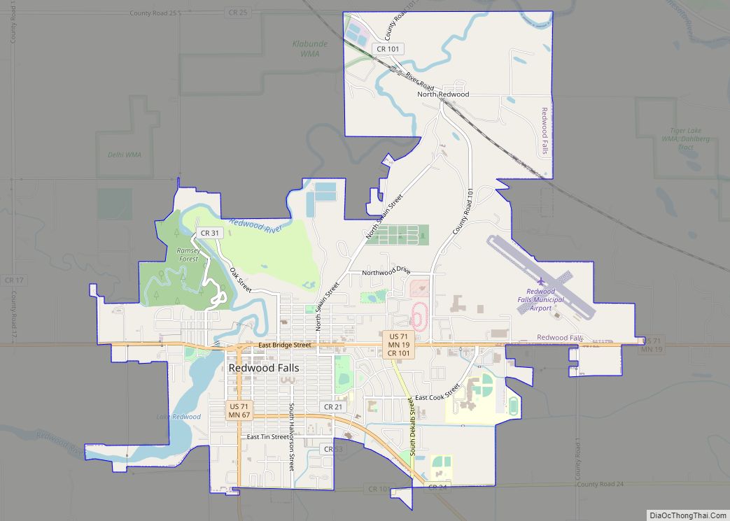
Online Interactive Map
Click on ![]() to view map in "full screen" mode.
to view map in "full screen" mode.
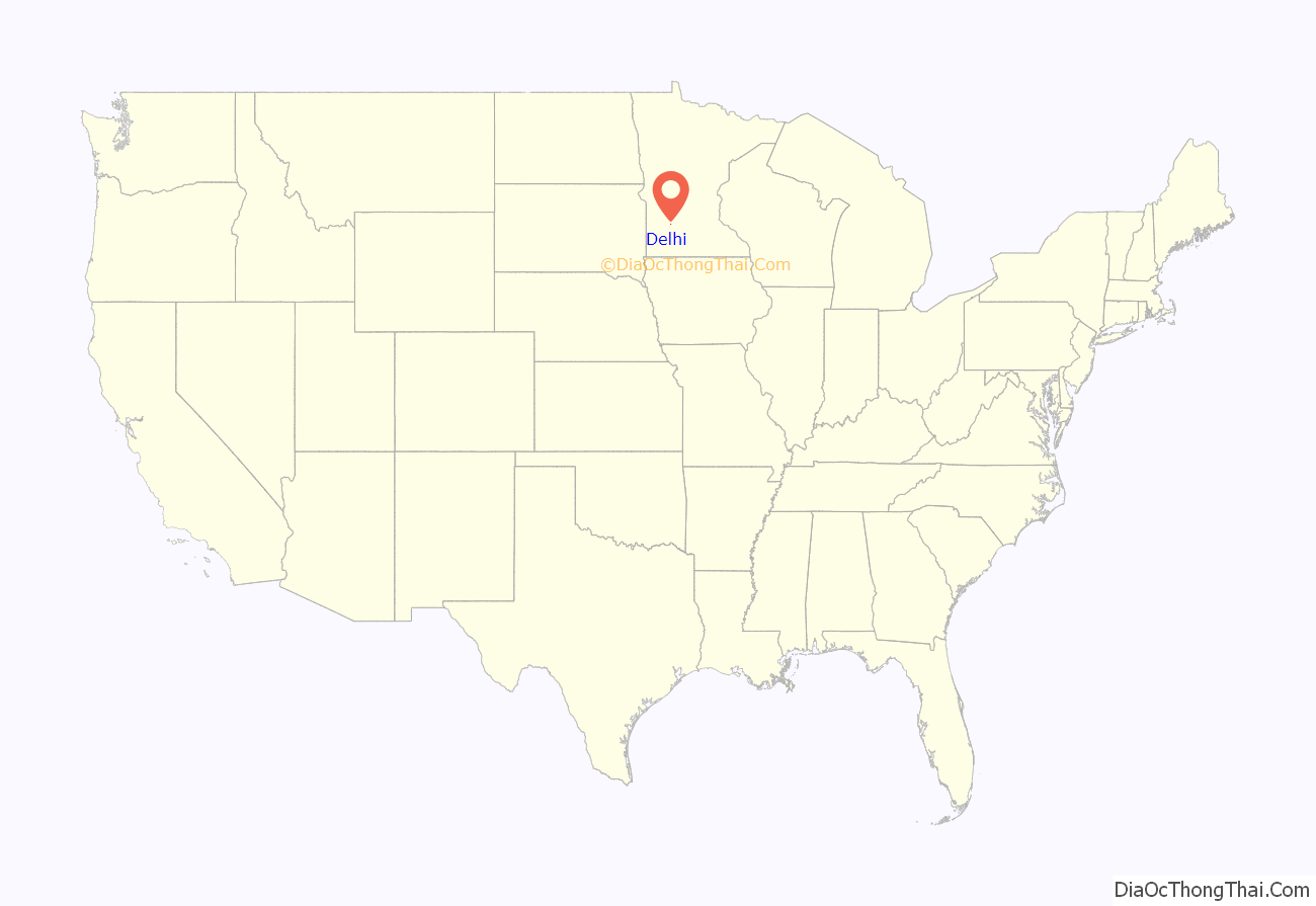
Delhi location map. Where is Delhi city?
History
Delhi was platted in 1884, and derives its name from Delhi, Ohio, located in the Cincinnati metropolitan area. A post office called Delhi was established in 1894, and remained in operation until 1979.
The Delhi Coronet Band Hall, built in 1896 for a community band, served as the venue for many social and political events in Delhi and was listed on the National Register of Historic Places. On November 25, 1902, residents met in the band hall to incorporate as a city and the first elections were held there.
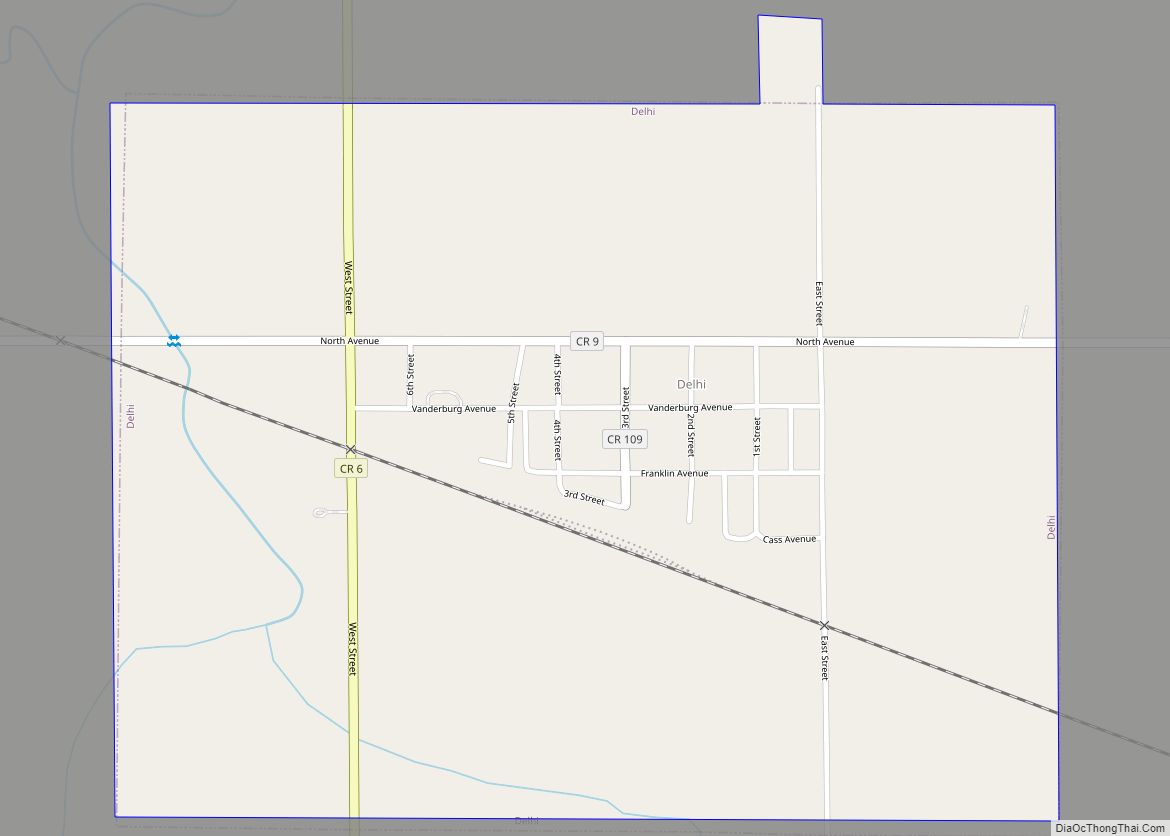
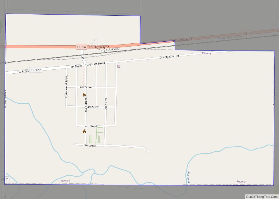
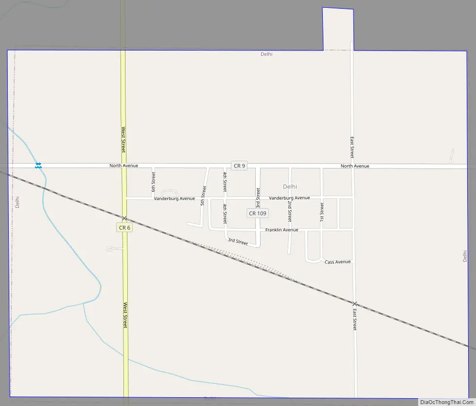
Delhi Road Map
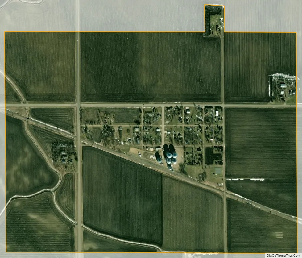
Delhi city Satellite Map
Geography
According to the United States Census Bureau, the city has a total area of 0.78 square miles (2.02 km), all land. Principal streets in Delhi include County Road 9, which connects to Belview five miles to the west, and County Road 6, which connects to Minnesota State Highways 19 and 67 three miles to the south. The main east west street is Vanderburg Avenue.
See also
Map of Minnesota State and its subdivision:- Aitkin
- Anoka
- Becker
- Beltrami
- Benton
- Big Stone
- Blue Earth
- Brown
- Carlton
- Carver
- Cass
- Chippewa
- Chisago
- Clay
- Clearwater
- Cook
- Cottonwood
- Crow Wing
- Dakota
- Dodge
- Douglas
- Faribault
- Fillmore
- Freeborn
- Goodhue
- Grant
- Hennepin
- Houston
- Hubbard
- Isanti
- Itasca
- Jackson
- Kanabec
- Kandiyohi
- Kittson
- Koochiching
- Lac qui Parle
- Lake
- Lake of the Woods
- Lake Superior
- Le Sueur
- Lincoln
- Lyon
- Mahnomen
- Marshall
- Martin
- McLeod
- Meeker
- Mille Lacs
- Morrison
- Mower
- Murray
- Nicollet
- Nobles
- Norman
- Olmsted
- Otter Tail
- Pennington
- Pine
- Pipestone
- Polk
- Pope
- Ramsey
- Red Lake
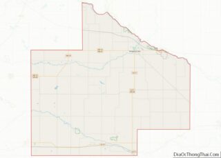
- Redwood
- Renville
- Rice
- Rock
- Roseau
- Saint Louis
- Scott
- Sherburne
- Sibley
- Stearns
- Steele
- Stevens
- Swift
- Todd
- Traverse
- Wabasha
- Wadena
- Waseca
- Washington
- Watonwan
- Wilkin
- Winona
- Wright
- Yellow Medicine
- Alabama
- Alaska
- Arizona
- Arkansas
- California
- Colorado
- Connecticut
- Delaware
- District of Columbia
- Florida
- Georgia
- Hawaii
- Idaho
- Illinois
- Indiana
- Iowa
- Kansas
- Kentucky
- Louisiana
- Maine
- Maryland
- Massachusetts
- Michigan
- Minnesota
- Mississippi
- Missouri
- Montana
- Nebraska
- Nevada
- New Hampshire
- New Jersey
- New Mexico
- New York
- North Carolina
- North Dakota
- Ohio
- Oklahoma
- Oregon
- Pennsylvania
- Rhode Island
- South Carolina
- South Dakota
- Tennessee
- Texas
- Utah
- Vermont
- Virginia
- Washington
- West Virginia
- Wisconsin
- Wyoming