Farwell is a city in Pope County, Minnesota, United States. The population was 56 at the 2020 census.
| Name: | Farwell city |
|---|---|
| LSAD Code: | 25 |
| LSAD Description: | city (suffix) |
| State: | Minnesota |
| County: | Pope County |
| Founded: | 1887 |
| Elevation: | 1,345 ft (410 m) |
| Total Area: | 0.25 sq mi (0.65 km²) |
| Land Area: | 0.25 sq mi (0.65 km²) |
| Water Area: | 0.00 sq mi (0.00 km²) |
| Total Population: | 56 |
| Population Density: | 223.11/sq mi (86.05/km²) |
| Area code: | 320 |
| FIPS code: | 2720690 |
| GNISfeature ID: | 0643575 |
Online Interactive Map
Click on ![]() to view map in "full screen" mode.
to view map in "full screen" mode.
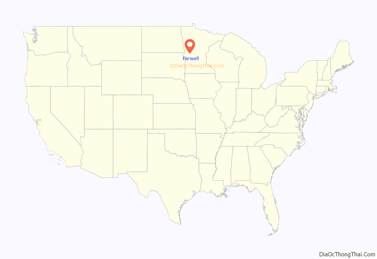
Farwell location map. Where is Farwell city?
History
Farwell was platted in 1887. A post office was established at Farwell in 1887, and remained in operation until 1998. Since 1998 the City has had a community post office arrangement with the United States Post Office wherein the City pays the wages of the Post Mistress but she is an employee of the USPS.
When the Minneapolis and Pacific Railway, forerunner of the Soo Line, was constructed through what became Farwell in 1886, the company took the lead in creating the new townsites that adjoined its stations by arranging for the surveying, platting and sale of lots. Among the key people involved were William D. Washburn, president, Peter M. Dahl, surveyor, and Charles D. Hammond who managed real estate matters. Messrs. Washburn, Hammond, and Frederick D. Underwood, general manager, were directly involved in naming these new townsites, along with assigning street/avenue names.
Farwell. Local histories muse that the name might have been attributed to a Swedish accented attendee at a local meeting, called for the purpose of naming the new town, who exclaimed ‘farval’ or ‘farewell’ as he left in disgust when a name could not be agreed upon. It’s a humorous anecdote, but does not comport with how townsite names were selected. In actuality, Farwell was likely named for Charles B. Farwell, of Illinois, a political colleague of Washburn’s. They served together in the U.S. House of Representatives in Washington, D.C., during 1881-1883, and later in the US Senate for a few years beginning in 1889. That explanation was given by F. D. Underwood in correspondence with a Soo Line official several years later. It is interesting to note that Chas. Hammond’s wife’s maiden name was Farwell. It is possible that when the plat was developed Mr. Hammond seized on that coincidence, giving a double-meaning to the naming of this village. Among Farwell’s street names, Bertrand was the middle name of one of Charles Hammond’s sons. Chermak, Alton – Soo Line Railroad historian.
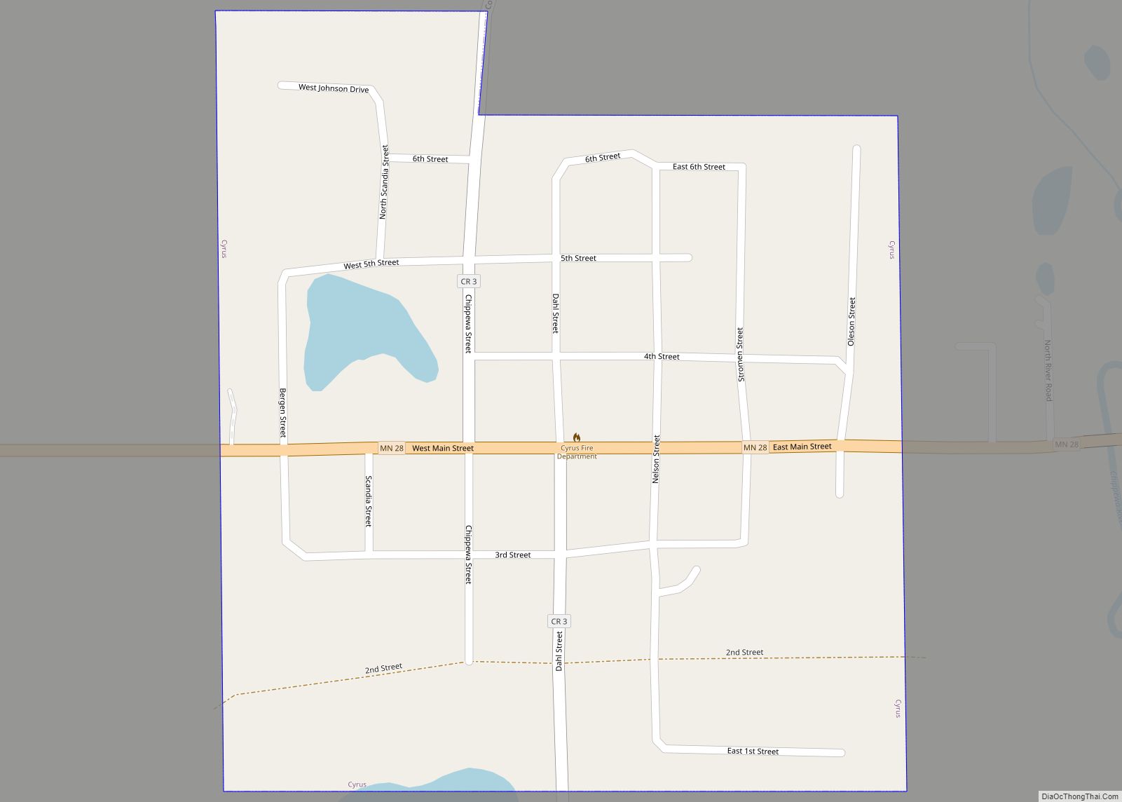
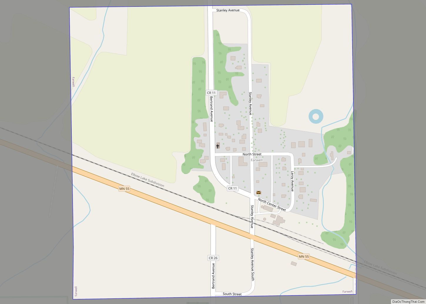
Farwell Road Map
Farwell city Satellite Map
Geography
According to the United States Census Bureau, the city has a total area of 0.29 square miles (0.75 km), all land.
Minnesota State Highway 55 serves as a main route in the community.
See also
Map of Minnesota State and its subdivision:- Aitkin
- Anoka
- Becker
- Beltrami
- Benton
- Big Stone
- Blue Earth
- Brown
- Carlton
- Carver
- Cass
- Chippewa
- Chisago
- Clay
- Clearwater
- Cook
- Cottonwood
- Crow Wing
- Dakota
- Dodge
- Douglas
- Faribault
- Fillmore
- Freeborn
- Goodhue
- Grant
- Hennepin
- Houston
- Hubbard
- Isanti
- Itasca
- Jackson
- Kanabec
- Kandiyohi
- Kittson
- Koochiching
- Lac qui Parle
- Lake
- Lake of the Woods
- Lake Superior
- Le Sueur
- Lincoln
- Lyon
- Mahnomen
- Marshall
- Martin
- McLeod
- Meeker
- Mille Lacs
- Morrison
- Mower
- Murray
- Nicollet
- Nobles
- Norman
- Olmsted
- Otter Tail
- Pennington
- Pine
- Pipestone
- Polk
- Pope
- Ramsey
- Red Lake
- Redwood
- Renville
- Rice
- Rock
- Roseau
- Saint Louis
- Scott
- Sherburne
- Sibley
- Stearns
- Steele
- Stevens
- Swift
- Todd
- Traverse
- Wabasha
- Wadena
- Waseca
- Washington
- Watonwan
- Wilkin
- Winona
- Wright
- Yellow Medicine
- Alabama
- Alaska
- Arizona
- Arkansas
- California
- Colorado
- Connecticut
- Delaware
- District of Columbia
- Florida
- Georgia
- Hawaii
- Idaho
- Illinois
- Indiana
- Iowa
- Kansas
- Kentucky
- Louisiana
- Maine
- Maryland
- Massachusetts
- Michigan
- Minnesota
- Mississippi
- Missouri
- Montana
- Nebraska
- Nevada
- New Hampshire
- New Jersey
- New Mexico
- New York
- North Carolina
- North Dakota
- Ohio
- Oklahoma
- Oregon
- Pennsylvania
- Rhode Island
- South Carolina
- South Dakota
- Tennessee
- Texas
- Utah
- Vermont
- Virginia
- Washington
- West Virginia
- Wisconsin
- Wyoming
