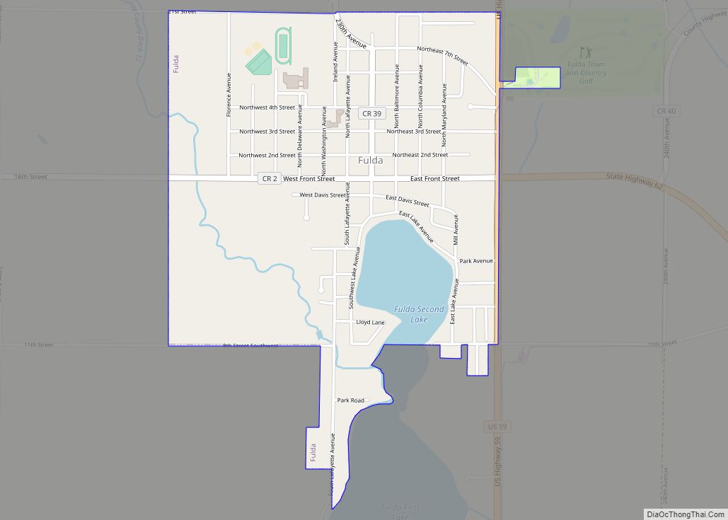
Fulda is a city in Murray County, Minnesota, United States. The population was 1,318 at the 2010 census.
| Name: | Fulda city |
|---|---|
| LSAD Code: | 25 |
| LSAD Description: | city (suffix) |
| State: | Minnesota |
| County: | Murray County |
| Founded: | 1879 |
| Elevation: | 1,532 ft (464 m) |
| Total Area: | 1.09 sq mi (2.82 km²) |
| Land Area: | 1.01 sq mi (2.62 km²) |
| Water Area: | 0.08 sq mi (0.20 km²) 7.21% |
| Total Population: | 1,371 |
| Population Density: | 1,354.74/sq mi (523.17/km²) |
| ZIP code: | 56131 |
| Area code: | 507 |
| FIPS code: | 2722958 |
| GNISfeature ID: | 0643984 |
| Website: | fuldamn.com |
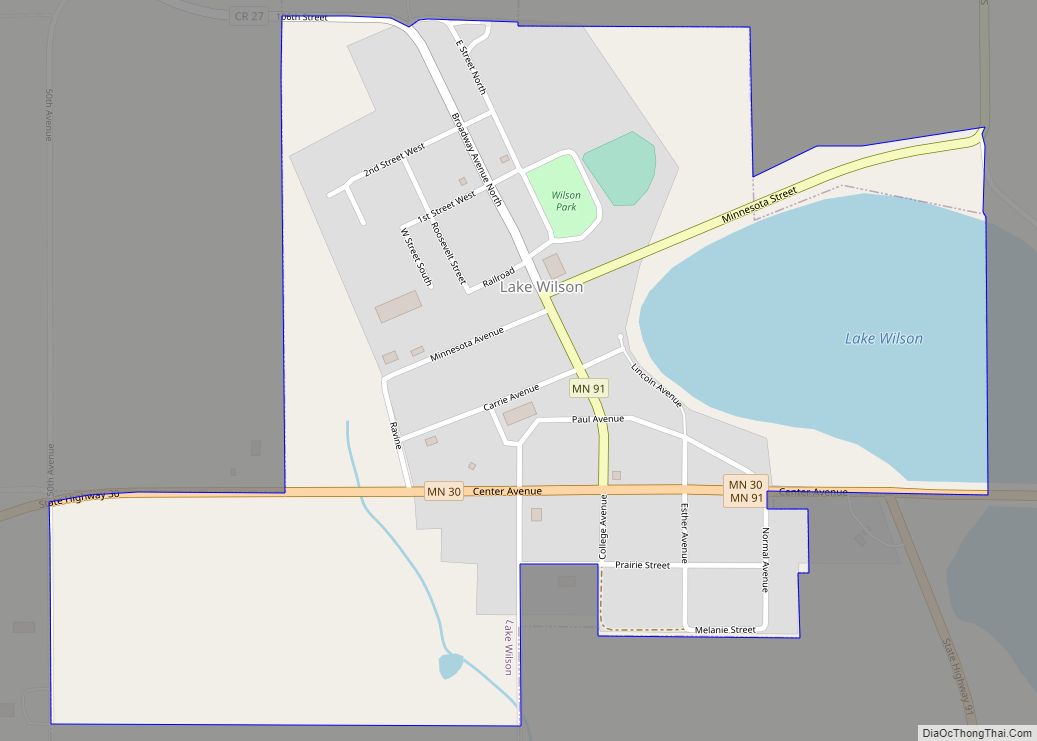
Online Interactive Map
Click on ![]() to view map in "full screen" mode.
to view map in "full screen" mode.
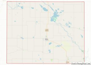
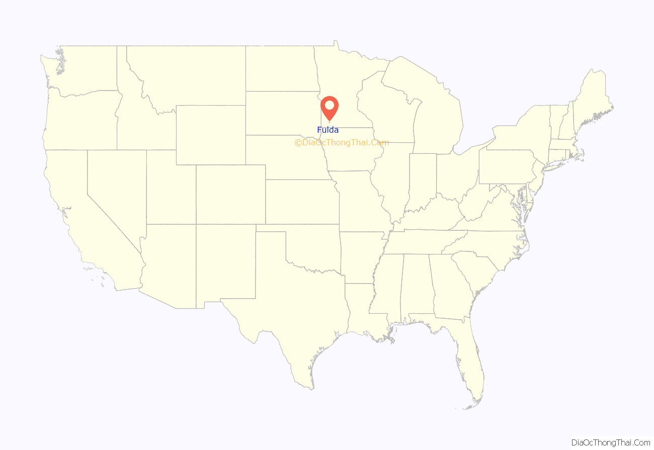
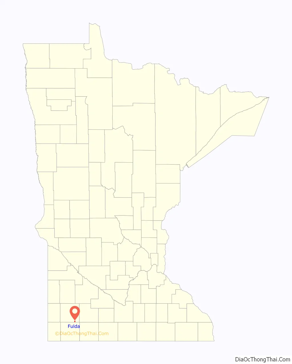
Fulda location map. Where is Fulda city?
History
The city of Fulda was founded in 1881 along the Milwaukee Road primarily by German settlers, though also by Scandinavian and Irish. It was named for Fulda in Hessen, Germany. Fulda is still predominantly an agricultural city.
Although the rail line was discontinued in 1980, the two-story depot building, along with a section of track, has been preserved and is listed on the National Register of Historic Places. The lower level of the depot is currently used as an antique museum and store. The other building in the city on the National Register is the former Citizens State Bank building.
Fulda has a Civil War cannon in its city park. It is a three-inch (76 mm) rifled gun and was purchased for $155 on June 25, 1892, by the Zach Taylor Post No. 42 of the Grand Army of the Republic.
Notable people
- Fulda was the birthplace of Harold Hotelling, a mathematical statistician and very influential economic theorist.
- Baseball Hall of Famer and Negro league pitcher Hilton Smith played for Fulda’s semi-pro baseball team in 1949 and 1950.
- Sports columnist Patrick Reusse of the Minneapolis Star-Tribune spent his early years in Fulda.
- The Continental Co-ets, America’s first touring all-girl rock & roll band, originated in Fulda in 1963.
- Ted Winter, former Minnesota House Majority Leader and longtime state representative (1987–2003) is from Fulda.
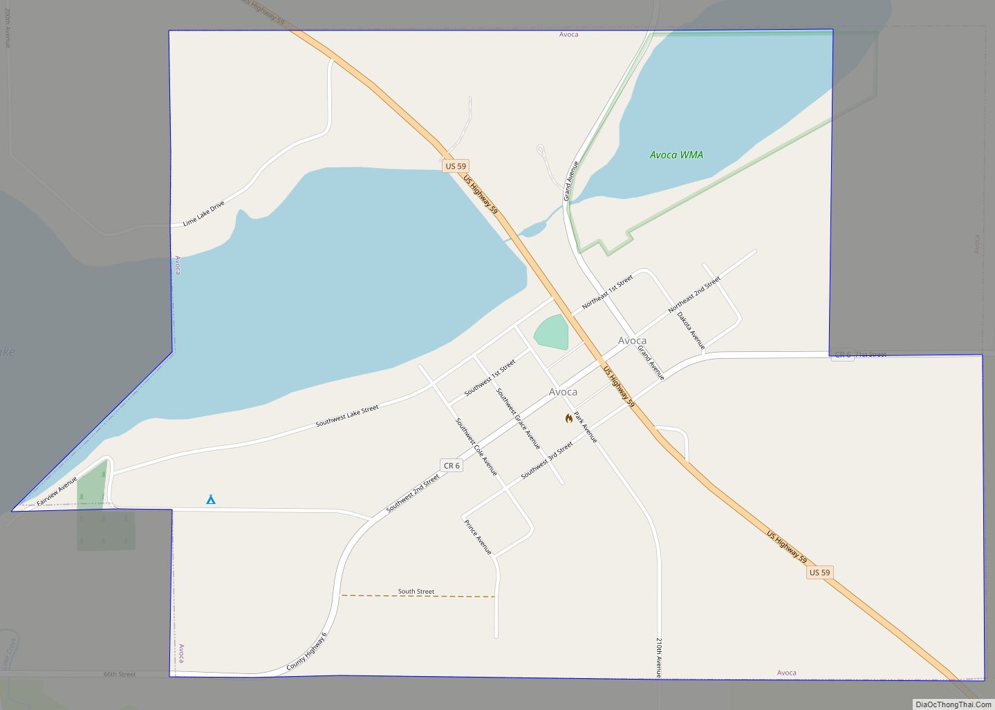
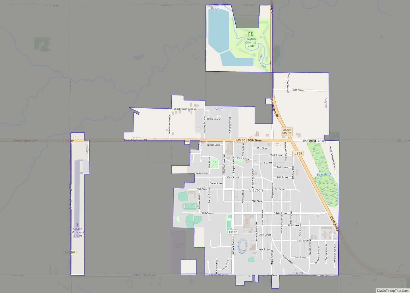
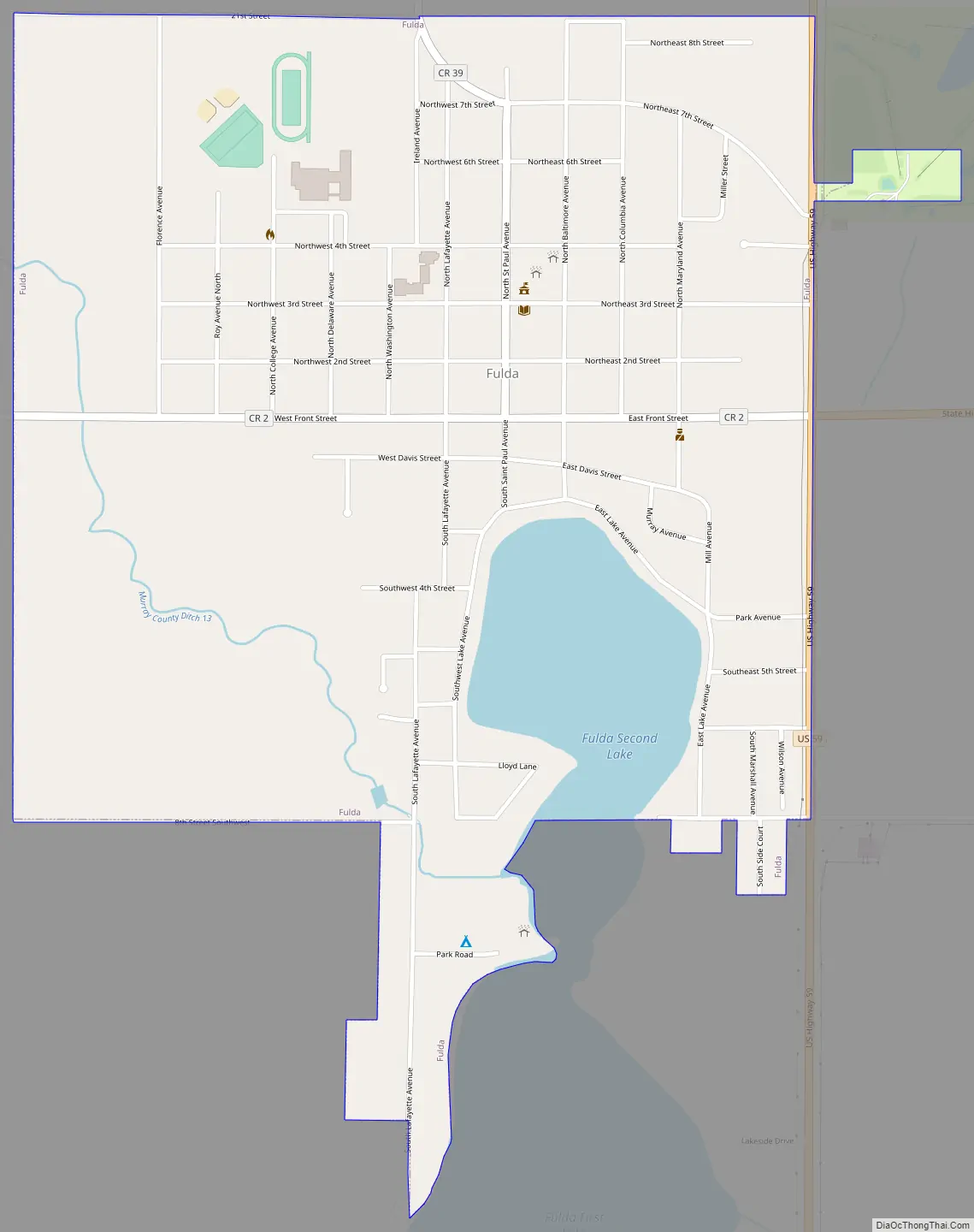
Fulda Road Map
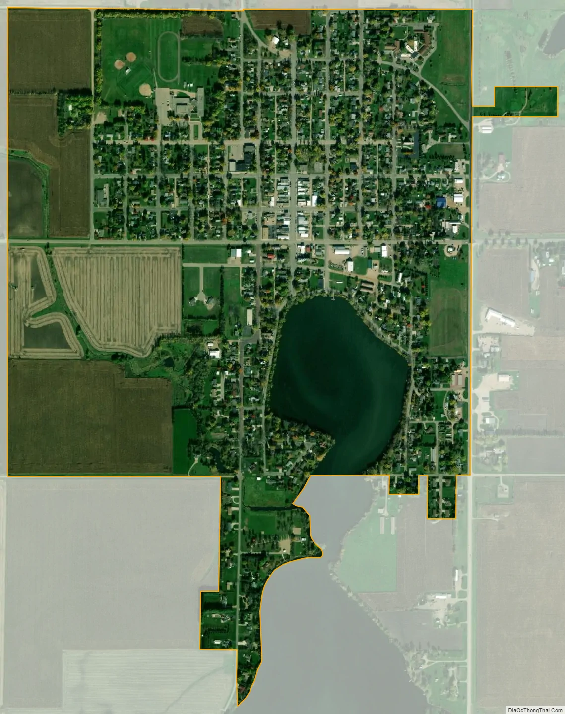
Fulda city Satellite Map
Geography
According to the United States Census Bureau, the city has an area of 1.11 square miles (2.87 km), of which 1.03 square miles (2.67 km) is land and 0.08 square miles (0.21 km) is water. The city is on the north end of Fulda Lake.
U.S. Highway 59 and Minnesota State Highway 62 are two of the main routes in the city.
Neighboring communities
- Lime Creek, 2 miles (3.2 km) northeast
- Wirock, 5 miles (8.0 km) west
- Avoca, 6 miles (9.7 km) northwest
- Dundee, 6 miles (9.7 km) east
- Kinbrae, 6 miles (9.7 km) southeast
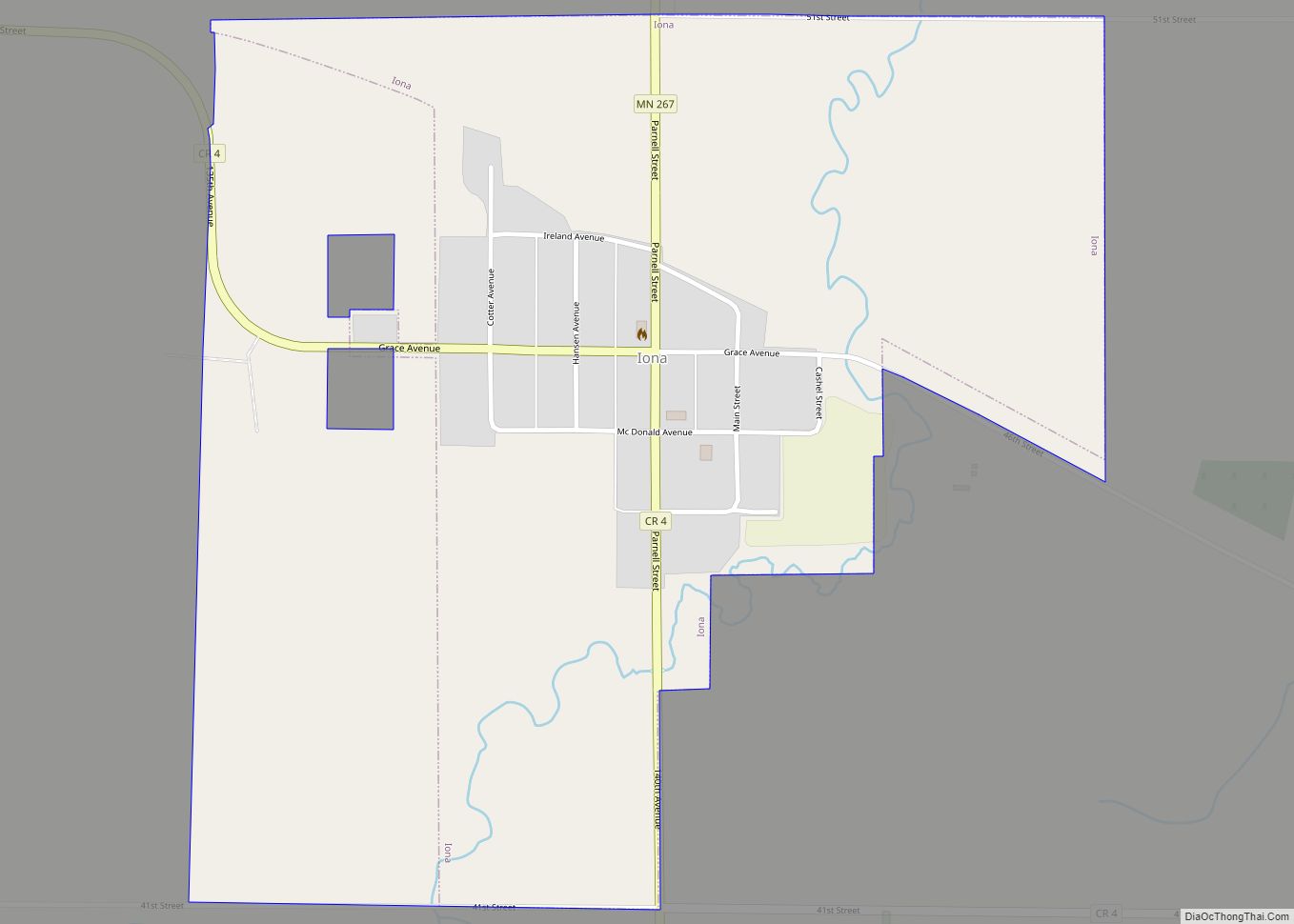
- Iona, 9 miles (14 km) northwest
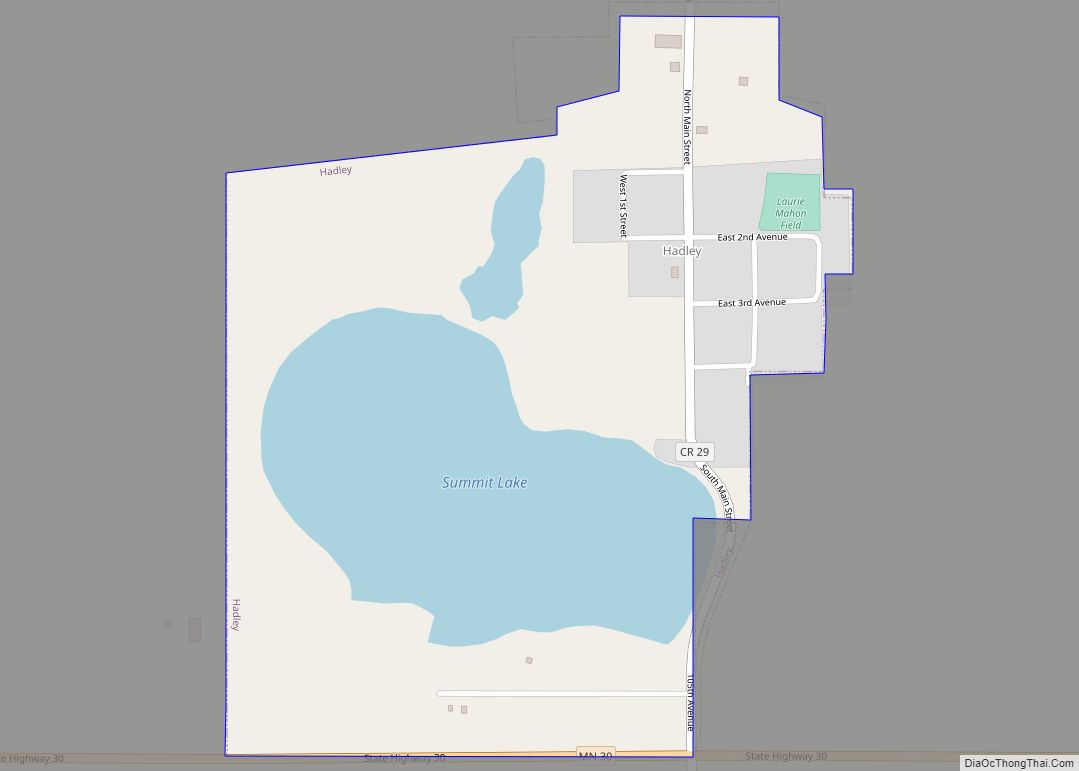
- Slayton, 11 miles (18 km) northwest
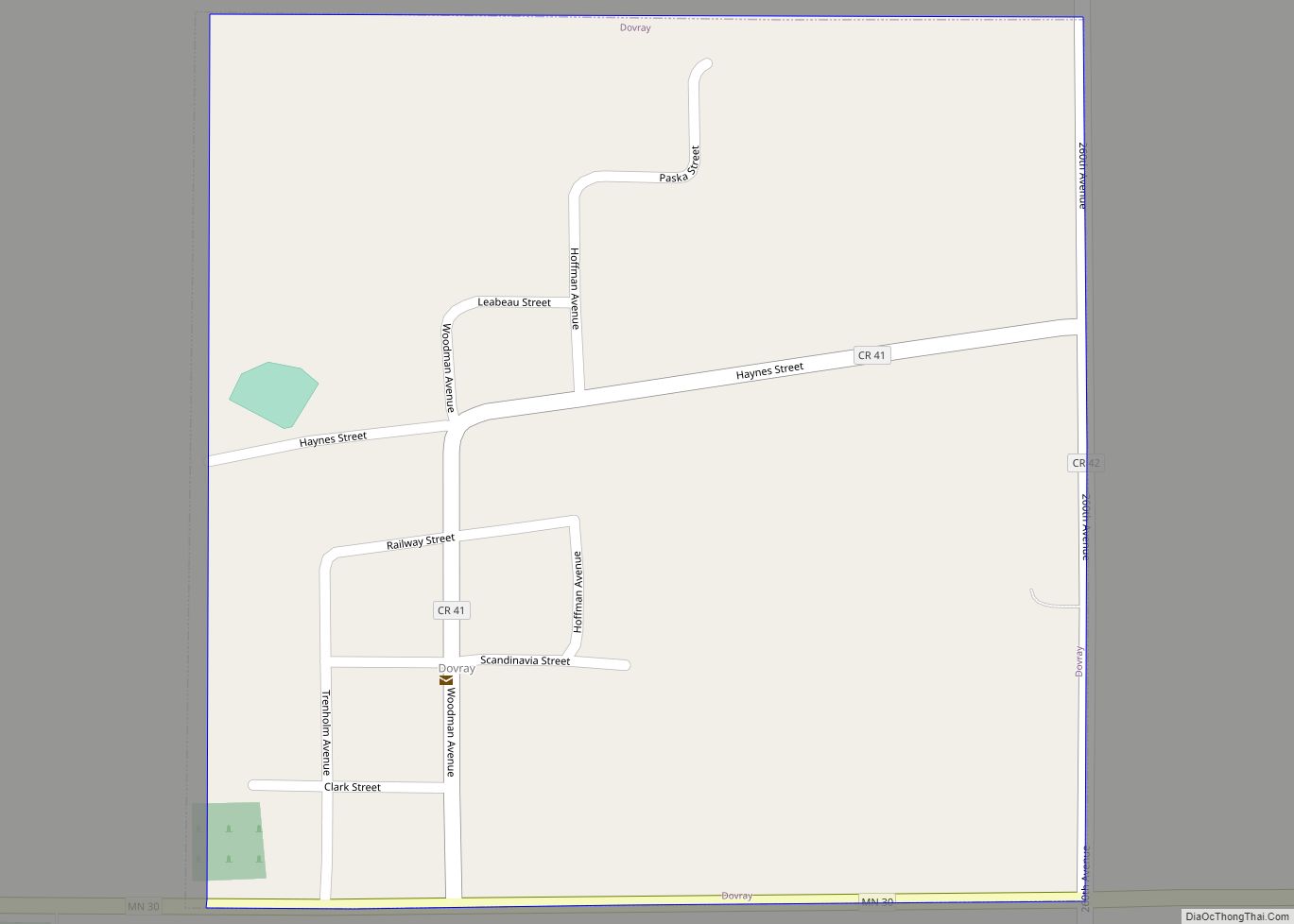
- Dovray, 13 miles (21 km) north
- Reading, 13 miles (21 km) southwest
- Brewster, 13 miles (21 km) southeast
See also
Map of Minnesota State and its subdivision:- Aitkin
- Anoka
- Becker
- Beltrami
- Benton
- Big Stone
- Blue Earth
- Brown
- Carlton
- Carver
- Cass
- Chippewa
- Chisago
- Clay
- Clearwater
- Cook
- Cottonwood
- Crow Wing
- Dakota
- Dodge
- Douglas
- Faribault
- Fillmore
- Freeborn
- Goodhue
- Grant
- Hennepin
- Houston
- Hubbard
- Isanti
- Itasca
- Jackson
- Kanabec
- Kandiyohi
- Kittson
- Koochiching
- Lac qui Parle
- Lake
- Lake of the Woods
- Lake Superior
- Le Sueur
- Lincoln
- Lyon
- Mahnomen
- Marshall
- Martin
- McLeod
- Meeker
- Mille Lacs
- Morrison
- Mower
- Murray
- Nicollet
- Nobles
- Norman
- Olmsted
- Otter Tail
- Pennington
- Pine
- Pipestone
- Polk
- Pope
- Ramsey
- Red Lake
- Redwood
- Renville
- Rice
- Rock
- Roseau
- Saint Louis
- Scott
- Sherburne
- Sibley
- Stearns
- Steele
- Stevens
- Swift
- Todd
- Traverse
- Wabasha
- Wadena
- Waseca
- Washington
- Watonwan
- Wilkin
- Winona
- Wright
- Yellow Medicine
- Alabama
- Alaska
- Arizona
- Arkansas
- California
- Colorado
- Connecticut
- Delaware
- District of Columbia
- Florida
- Georgia
- Hawaii
- Idaho
- Illinois
- Indiana
- Iowa
- Kansas
- Kentucky
- Louisiana
- Maine
- Maryland
- Massachusetts
- Michigan
- Minnesota
- Mississippi
- Missouri
- Montana
- Nebraska
- Nevada
- New Hampshire
- New Jersey
- New Mexico
- New York
- North Carolina
- North Dakota
- Ohio
- Oklahoma
- Oregon
- Pennsylvania
- Rhode Island
- South Carolina
- South Dakota
- Tennessee
- Texas
- Utah
- Vermont
- Virginia
- Washington
- West Virginia
- Wisconsin
- Wyoming