Grove City is a city in Meeker County, Minnesota, United States. Most of the city lies in Acton Township, with the northern portion in Swede Grove Township. The population was 624 at the 2020 census.
| Name: | Grove City city |
|---|---|
| LSAD Code: | 25 |
| LSAD Description: | city (suffix) |
| State: | Minnesota |
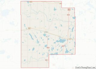
| County: | Meeker County |
| Elevation: | 1,188 ft (362 m) |
| Total Area: | 0.66 sq mi (1.71 km²) |
| Land Area: | 0.61 sq mi (1.58 km²) |
| Water Area: | 0.05 sq mi (0.13 km²) |
| Total Population: | 624 |
| Population Density: | 1,022.95/sq mi (394.95/km²) |
| ZIP code: | 56243 |
| Area code: | 320 |
| FIPS code: | 2726126 |
| GNISfeature ID: | 0644499 |
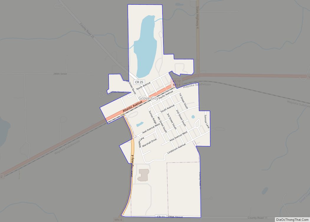
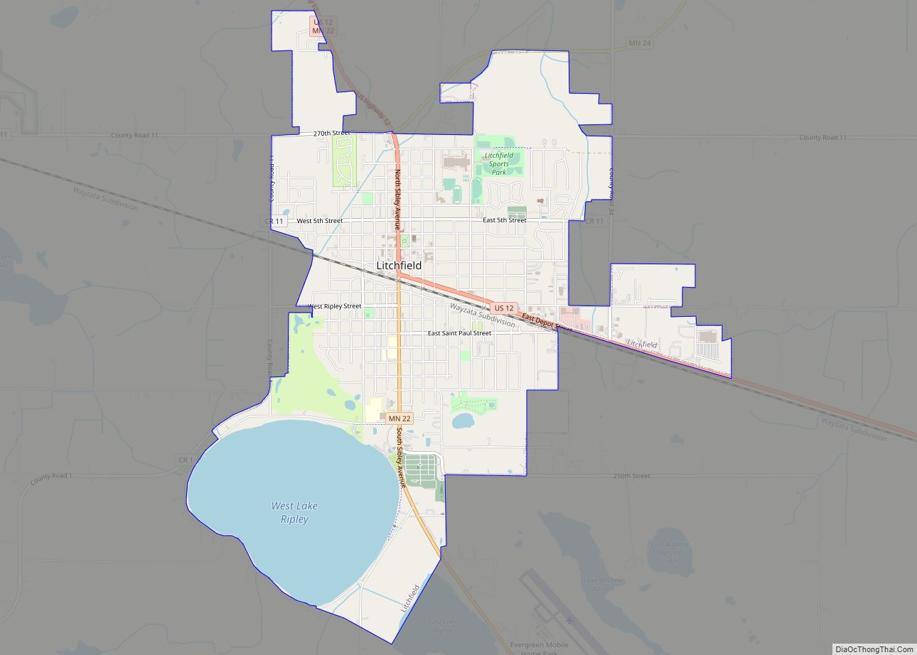
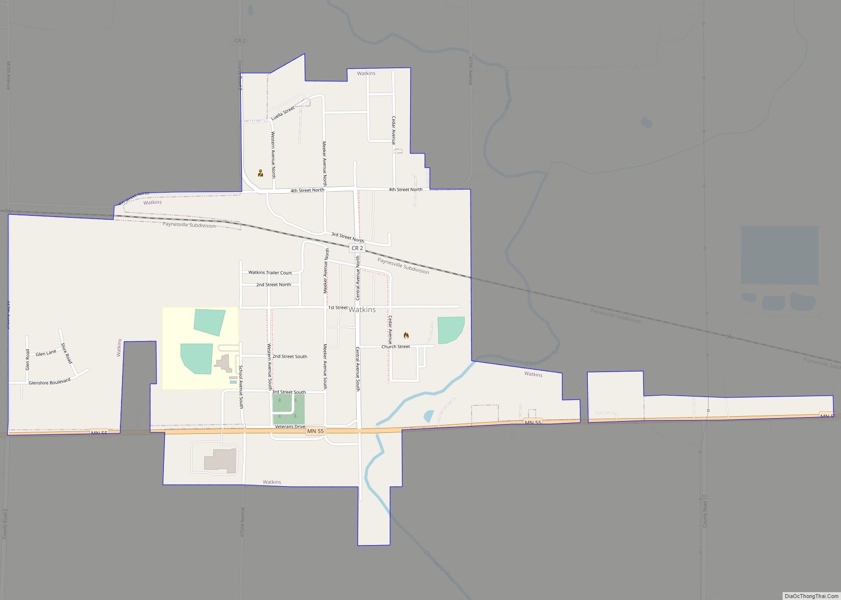
Online Interactive Map
Click on ![]() to view map in "full screen" mode.
to view map in "full screen" mode.
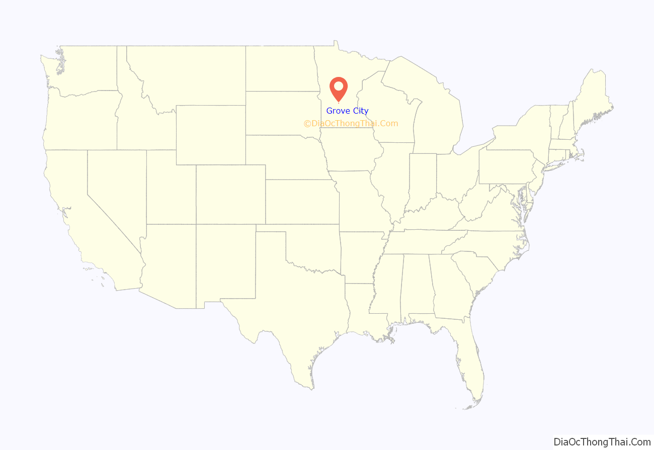
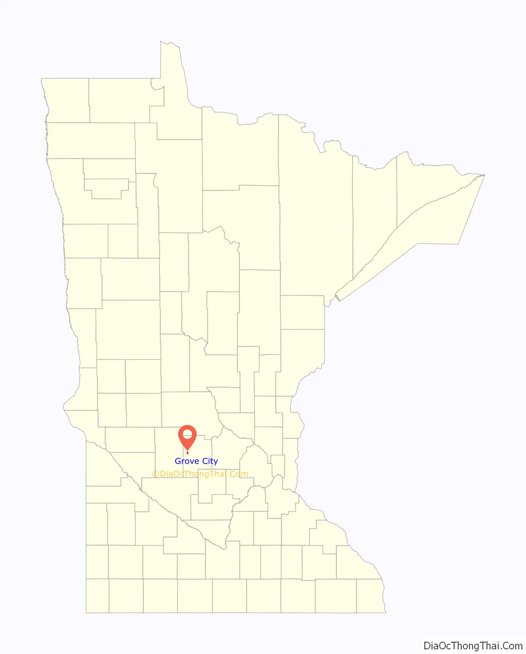
Grove City location map. Where is Grove City city?
History
In 1870, the St. Paul and Pacific Railway come to Acton Township and started the Acton Station two miles east of today’s Grove City. There was also a post office one mile north called Swede Grove. The different locations caused confusion, and the people convinced the railroad to move the station to present-day Grove City.
Grove City was incorporated in 1878. In naming the town, “Grove” was chosen from Swede Grove and “City” represented the citizens’ hope for the town’s future. A post office called Grove City has been in operation since 1879, having moved from north of the town. The post office was among the first businesses. Other early businesses included four grocery stories, two hardware stores, four filling stations, two hotels, two lumberyards, two banks, two blacksmiths, a barrel factory, a feed mill, and four grain elevators. There were five saloons, a pool hall, restaurants, a confectioner, a shoe store, a millinery shop, and a bakery.
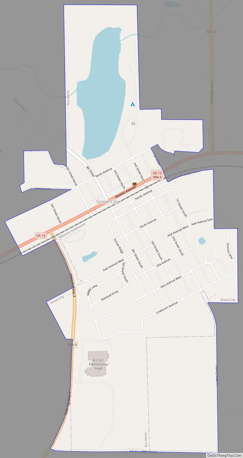
Grove City Road Map
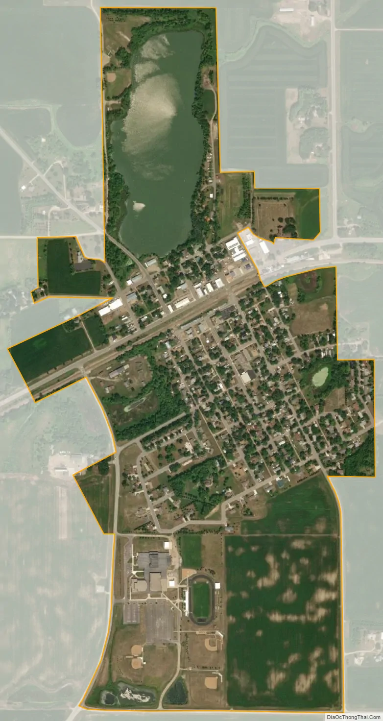
Grove City city Satellite Map
Geography
According to the United States Census Bureau, the city has an area of 0.74 square miles (1.92 km), of which 0.69 square miles (1.79 km) is land and 0.05 square miles (0.13 km) is water.
U.S. Highway 12 and Minnesota State Highway 4 are two of the main routes in the community.
See also
Map of Minnesota State and its subdivision:- Aitkin
- Anoka
- Becker
- Beltrami
- Benton
- Big Stone
- Blue Earth
- Brown
- Carlton
- Carver
- Cass
- Chippewa
- Chisago
- Clay
- Clearwater
- Cook
- Cottonwood
- Crow Wing
- Dakota
- Dodge
- Douglas
- Faribault
- Fillmore
- Freeborn
- Goodhue
- Grant
- Hennepin
- Houston
- Hubbard
- Isanti
- Itasca
- Jackson
- Kanabec
- Kandiyohi
- Kittson
- Koochiching
- Lac qui Parle
- Lake
- Lake of the Woods
- Lake Superior
- Le Sueur
- Lincoln
- Lyon
- Mahnomen
- Marshall
- Martin
- McLeod
- Meeker
- Mille Lacs
- Morrison
- Mower
- Murray
- Nicollet
- Nobles
- Norman
- Olmsted
- Otter Tail
- Pennington
- Pine
- Pipestone
- Polk
- Pope
- Ramsey
- Red Lake
- Redwood
- Renville
- Rice
- Rock
- Roseau
- Saint Louis
- Scott
- Sherburne
- Sibley
- Stearns
- Steele
- Stevens
- Swift
- Todd
- Traverse
- Wabasha
- Wadena
- Waseca
- Washington
- Watonwan
- Wilkin
- Winona
- Wright
- Yellow Medicine
- Alabama
- Alaska
- Arizona
- Arkansas
- California
- Colorado
- Connecticut
- Delaware
- District of Columbia
- Florida
- Georgia
- Hawaii
- Idaho
- Illinois
- Indiana
- Iowa
- Kansas
- Kentucky
- Louisiana
- Maine
- Maryland
- Massachusetts
- Michigan
- Minnesota
- Mississippi
- Missouri
- Montana
- Nebraska
- Nevada
- New Hampshire
- New Jersey
- New Mexico
- New York
- North Carolina
- North Dakota
- Ohio
- Oklahoma
- Oregon
- Pennsylvania
- Rhode Island
- South Carolina
- South Dakota
- Tennessee
- Texas
- Utah
- Vermont
- Virginia
- Washington
- West Virginia
- Wisconsin
- Wyoming