Hanley Falls is a city in Yellow Medicine County, Minnesota, United States. The population was 304 at the 2010 census.
| Name: | Hanley Falls city |
|---|---|
| LSAD Code: | 25 |
| LSAD Description: | city (suffix) |
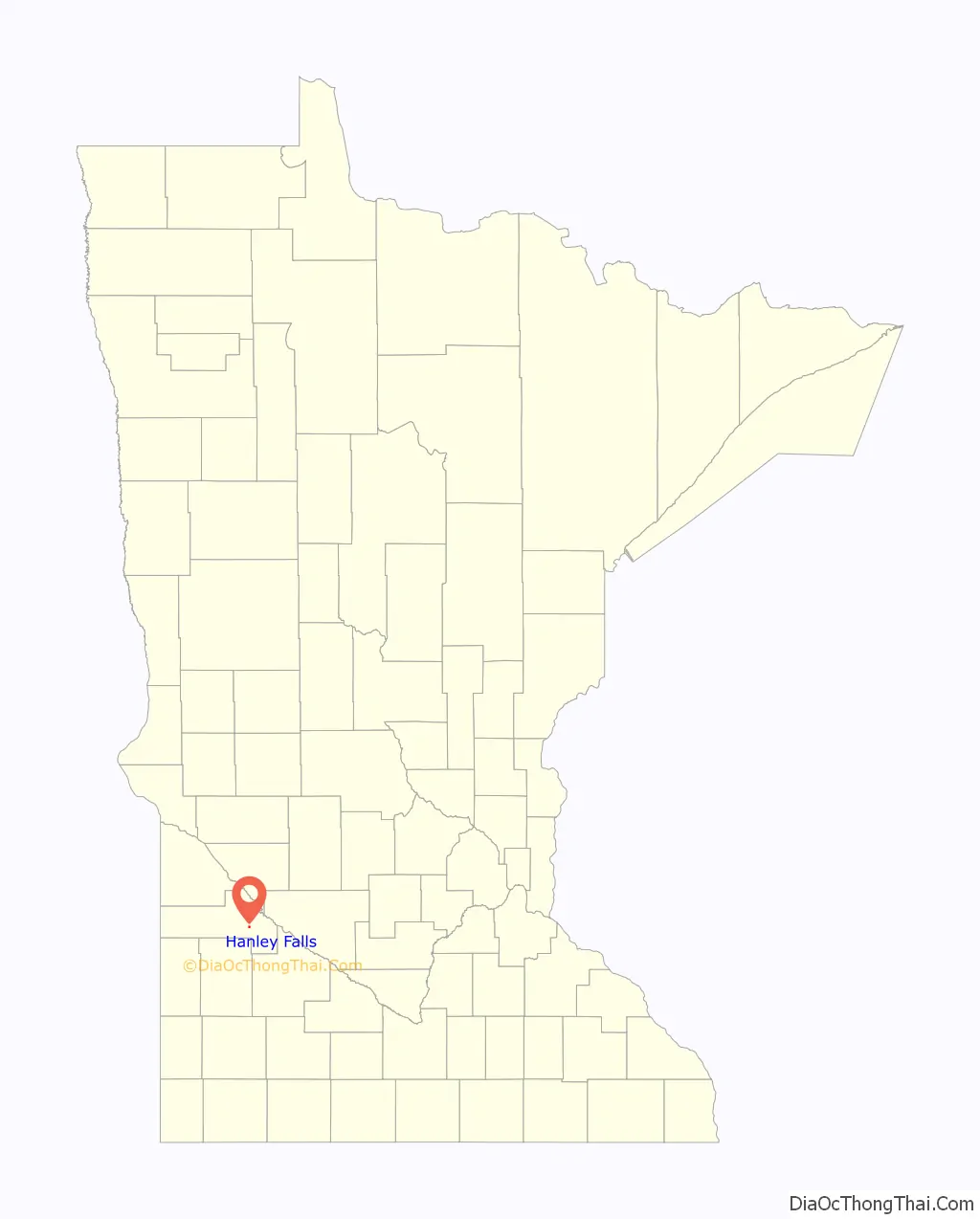
| State: | Minnesota |
| County: | Yellow Medicine County |
| Elevation: | 1,047 ft (319 m) |
| Total Area: | 0.25 sq mi (0.65 km²) |
| Land Area: | 0.25 sq mi (0.65 km²) |
| Water Area: | 0.00 sq mi (0.00 km²) |
| Total Population: | 243 |
| Population Density: | 975.90/sq mi (376.27/km²) |
| ZIP code: | 56245 |
| Area code: | 507 |
| FIPS code: | 2726972 |
| GNISfeature ID: | 0644628 |
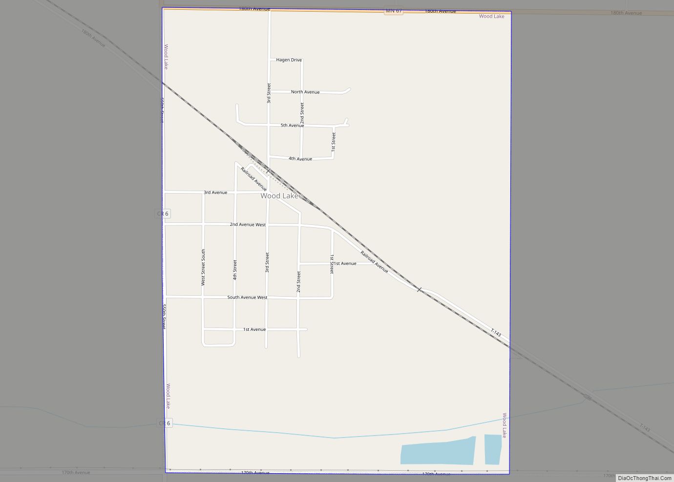
Online Interactive Map
Click on ![]() to view map in "full screen" mode.
to view map in "full screen" mode.
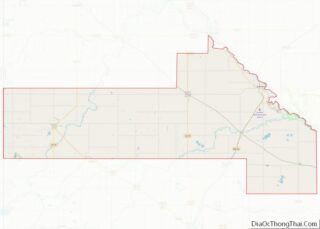
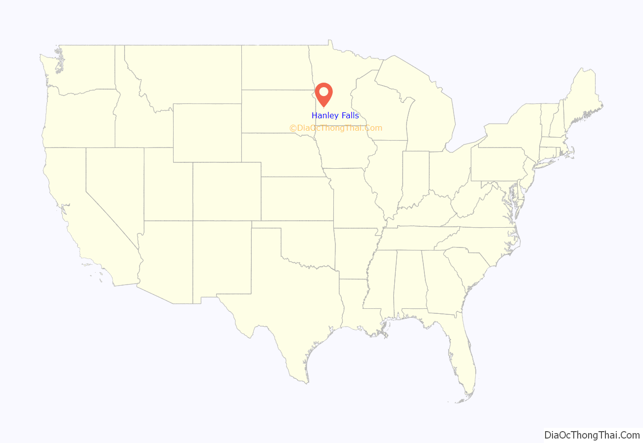
Hanley Falls location map. Where is Hanley Falls city?
History
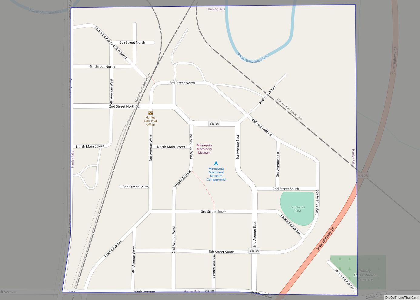
Hanley Falls was laid out in 1884 when the Minneapolis and St. Louis Railway was extended to that point. The city was named after a railroad official. A post office has been in operation at Hanley Falls since 1887. Hanley Falls was incorporated in 1892.
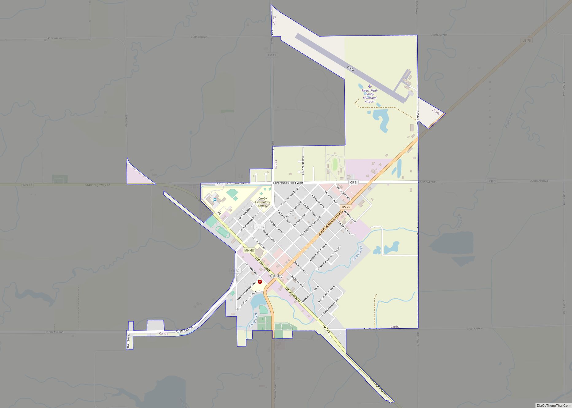
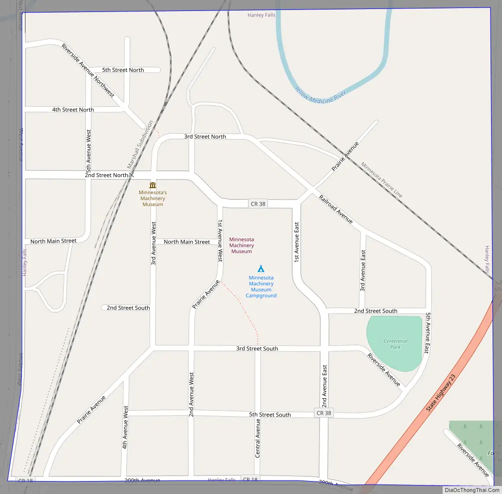
Hanley Falls Road Map
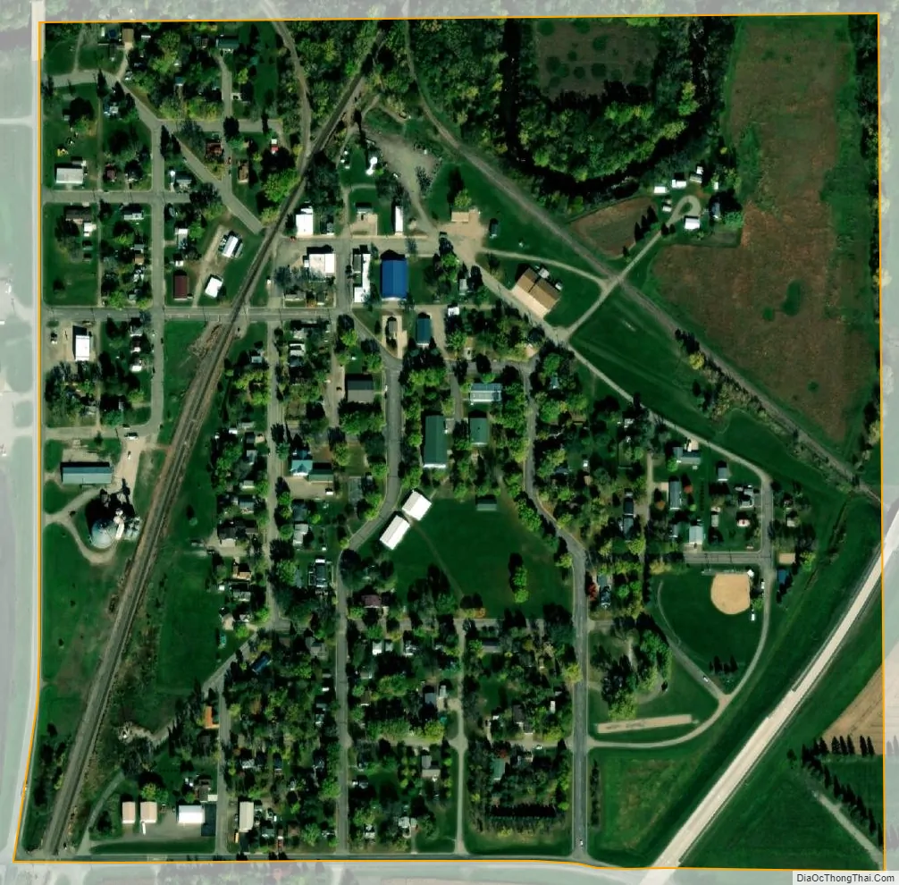
Hanley Falls city Satellite Map
Geography
According to the United States Census Bureau, the city has a total area of 0.25 square miles (0.65 km), all land.
The Yellow Medicine River flows through the city.
Minnesota State Highway 23 serves as a main route in the community.
Two railroad lines intersect on the northwest side of town; the question of whether the state of Minnesota could order installation of an interchange track between the two independent railroads led to a 1900 U.S. Supreme Court decision which affirmed that the state could indeed order the establishment of the “Hanley Falls Wye” for the public convenience, despite the railroads’ opposition.
See also
Map of Minnesota State and its subdivision:- Aitkin
- Anoka
- Becker
- Beltrami
- Benton
- Big Stone
- Blue Earth
- Brown
- Carlton
- Carver
- Cass
- Chippewa
- Chisago
- Clay
- Clearwater
- Cook
- Cottonwood
- Crow Wing
- Dakota
- Dodge
- Douglas
- Faribault
- Fillmore
- Freeborn
- Goodhue
- Grant
- Hennepin
- Houston
- Hubbard
- Isanti
- Itasca
- Jackson
- Kanabec
- Kandiyohi
- Kittson
- Koochiching
- Lac qui Parle
- Lake
- Lake of the Woods
- Lake Superior
- Le Sueur
- Lincoln
- Lyon
- Mahnomen
- Marshall
- Martin
- McLeod
- Meeker
- Mille Lacs
- Morrison
- Mower
- Murray
- Nicollet
- Nobles
- Norman
- Olmsted
- Otter Tail
- Pennington
- Pine
- Pipestone
- Polk
- Pope
- Ramsey
- Red Lake
- Redwood
- Renville
- Rice
- Rock
- Roseau
- Saint Louis
- Scott
- Sherburne
- Sibley
- Stearns
- Steele
- Stevens
- Swift
- Todd
- Traverse
- Wabasha
- Wadena
- Waseca
- Washington
- Watonwan
- Wilkin
- Winona
- Wright
- Yellow Medicine
- Alabama
- Alaska
- Arizona
- Arkansas
- California
- Colorado
- Connecticut
- Delaware
- District of Columbia
- Florida
- Georgia
- Hawaii
- Idaho
- Illinois
- Indiana
- Iowa
- Kansas
- Kentucky
- Louisiana
- Maine
- Maryland
- Massachusetts
- Michigan
- Minnesota
- Mississippi
- Missouri
- Montana
- Nebraska
- Nevada
- New Hampshire
- New Jersey
- New Mexico
- New York
- North Carolina
- North Dakota
- Ohio
- Oklahoma
- Oregon
- Pennsylvania
- Rhode Island
- South Carolina
- South Dakota
- Tennessee
- Texas
- Utah
- Vermont
- Virginia
- Washington
- West Virginia
- Wisconsin
- Wyoming