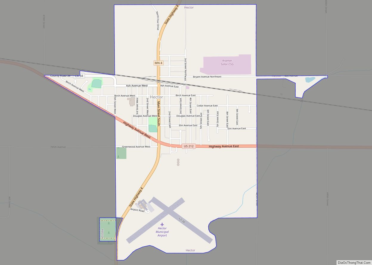
Hector is a city in Renville County, Minnesota, United States. The population was 1,151 at the 2010 census.
| Name: | Hector city |
|---|---|
| LSAD Code: | 25 |
| LSAD Description: | city (suffix) |
| State: | Minnesota |
| County: | Renville County |
| Elevation: | 1,086 ft (331 m) |
| Total Area: | 1.81 sq mi (4.68 km²) |
| Land Area: | 1.81 sq mi (4.68 km²) |
| Water Area: | 0.00 sq mi (0.00 km²) |
| Total Population: | 1,012 |
| Population Density: | 560.35/sq mi (216.31/km²) |
| ZIP code: | 55342 |
| Area code: | 320 |
| FIPS code: | 2728124 |
| GNISfeature ID: | 0644825 |
| Website: | http://hector.govoffice.com/ |
Online Interactive Map
Click on ![]() to view map in "full screen" mode.
to view map in "full screen" mode.
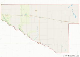
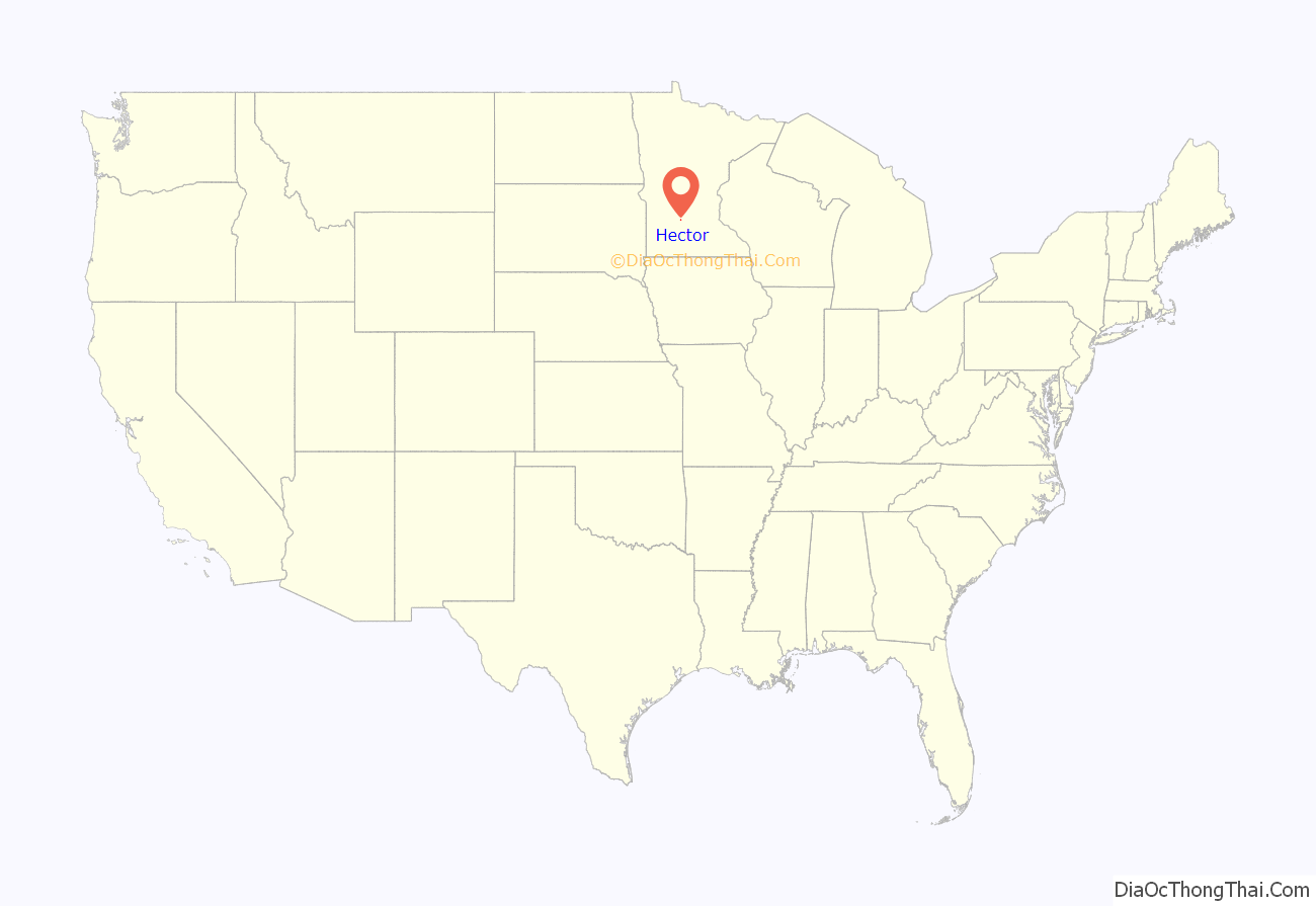
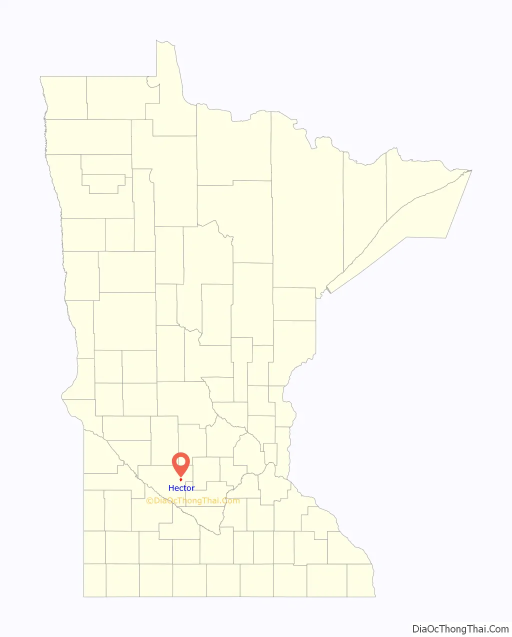
Hector location map. Where is Hector city?
History
Hector was founded in 1878 when the Hastings and Dakota Railway Company constructed the railroad on the north side of the original town site. The ten-block town site survey was completed on September 14, 1878, on land owned by the Hastings and Dakota.
The village was named after the township of Hector, which had been organized in June 1874. It was originally named Milford, but the name was changed when it was learned there was already another Milford in Minnesota. There was heated debate between those who favored the name Plainfield (after the stage stop and post office) and those who favored the name Hector, a township in New York on the east shore of Seneca Lake where many of the early settlers came from. Hector, New York, was named after the bravest of the ancient Trojan warriors whose story is told in Homer’s “Iliad”. (Later research showed the other Milford was actually in South Dakota, so the town could have been named Milford after all.)
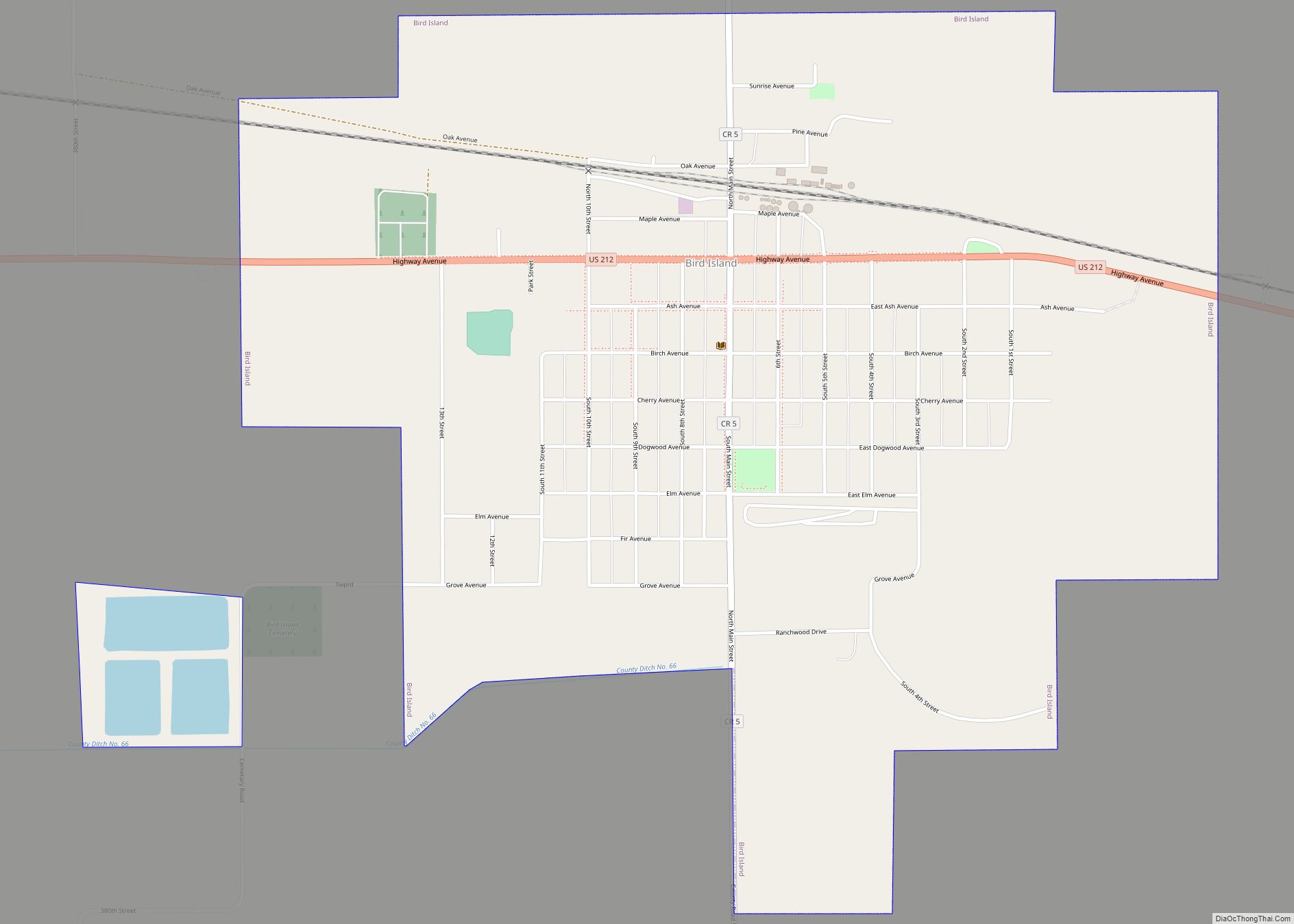
Hector Road Map
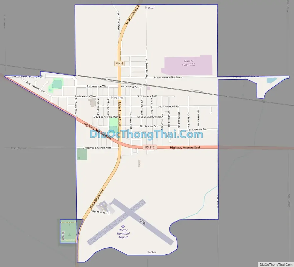
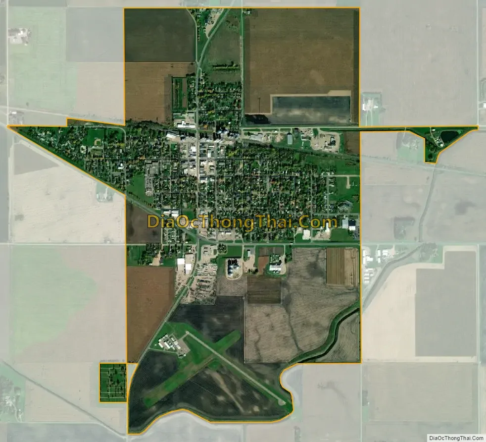
Hector city Satellite Map
Geography
According to the United States Census Bureau, the city has a total area of 1.56 square miles (4.04 km), all land.
See also
Map of Minnesota State and its subdivision:- Aitkin
- Anoka
- Becker
- Beltrami
- Benton
- Big Stone
- Blue Earth
- Brown
- Carlton
- Carver
- Cass
- Chippewa
- Chisago
- Clay
- Clearwater
- Cook
- Cottonwood
- Crow Wing
- Dakota
- Dodge
- Douglas
- Faribault
- Fillmore
- Freeborn
- Goodhue
- Grant
- Hennepin
- Houston
- Hubbard
- Isanti
- Itasca
- Jackson
- Kanabec
- Kandiyohi
- Kittson
- Koochiching
- Lac qui Parle
- Lake
- Lake of the Woods
- Lake Superior
- Le Sueur
- Lincoln
- Lyon
- Mahnomen
- Marshall
- Martin
- McLeod
- Meeker
- Mille Lacs
- Morrison
- Mower
- Murray
- Nicollet
- Nobles
- Norman
- Olmsted
- Otter Tail
- Pennington
- Pine
- Pipestone
- Polk
- Pope
- Ramsey
- Red Lake
- Redwood
- Renville
- Rice
- Rock
- Roseau
- Saint Louis
- Scott
- Sherburne
- Sibley
- Stearns
- Steele
- Stevens
- Swift
- Todd
- Traverse
- Wabasha
- Wadena
- Waseca
- Washington
- Watonwan
- Wilkin
- Winona
- Wright
- Yellow Medicine
- Alabama
- Alaska
- Arizona
- Arkansas
- California
- Colorado
- Connecticut
- Delaware
- District of Columbia
- Florida
- Georgia
- Hawaii
- Idaho
- Illinois
- Indiana
- Iowa
- Kansas
- Kentucky
- Louisiana
- Maine
- Maryland
- Massachusetts
- Michigan
- Minnesota
- Mississippi
- Missouri
- Montana
- Nebraska
- Nevada
- New Hampshire
- New Jersey
- New Mexico
- New York
- North Carolina
- North Dakota
- Ohio
- Oklahoma
- Oregon
- Pennsylvania
- Rhode Island
- South Carolina
- South Dakota
- Tennessee
- Texas
- Utah
- Vermont
- Virginia
- Washington
- West Virginia
- Wisconsin
- Wyoming