Jackson is a city and county seat of Jackson County, Minnesota, United States. The population was 3,299 at the 2010 census.
| Name: | Jackson city |
|---|---|
| LSAD Code: | 25 |
| LSAD Description: | city (suffix) |
| State: | Minnesota |
| County: | Jackson County |
| Elevation: | 1,316 ft (401 m) |
| Total Area: | 5.22 sq mi (13.53 km²) |
| Land Area: | 5.19 sq mi (13.45 km²) |
| Water Area: | 0.03 sq mi (0.08 km²) |
| Total Population: | 3,323 |
| Population Density: | 640.15/sq mi (247.14/km²) |
| ZIP code: | 56143 |
| Area code: | 507 |
| FIPS code: | 2731562 |
| GNISfeature ID: | 0645559 |
| Website: | cityofjacksonmn.com |
Online Interactive Map
Click on ![]() to view map in "full screen" mode.
to view map in "full screen" mode.
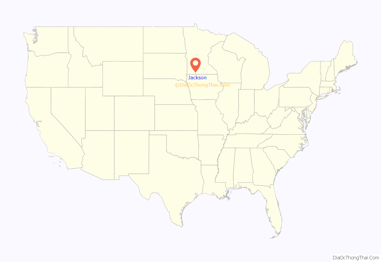
Jackson location map. Where is Jackson city?
History
Jackson was originally called Springfield, and under the latter name was laid out in 1856. A post office called Jackson has been in operation since 1858.
On March 26 1857 the Wahpekute Dakota Chief Inkpaduta and his band attacked the settlement heading north after the Spirit Lake Massacre. There were 11 able bodied men in Springfield and three men, three children and one woman died as a result. Lost to the raiders were 12 horses, dry goods, lead and powder. The sole survivor of the Spirit Lake attack was 14 year old Abbie Gardner.
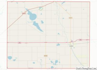
Jackson Road Map
Jackson city Satellite Map
Geography
According to the United States Census Bureau, the city has a total area of 4.60 square miles (11.91 km), of which 4.58 square miles (11.86 km) is land and 0.02 square miles (0.05 km) is water.
The city lies along Interstate 90, which runs east to west the entire width of southern Minnesota. Interstate 90 and U.S. Highway 71 are two of the main routes in the city. Jackson is located near the center of the county of the same name. To the south is the Iowa Lakes region, which comprises Spirit Lake, West Okoboji Lake and several other small lakes.
See also
Map of Minnesota State and its subdivision:- Aitkin
- Anoka
- Becker
- Beltrami
- Benton
- Big Stone
- Blue Earth
- Brown
- Carlton
- Carver
- Cass
- Chippewa
- Chisago
- Clay
- Clearwater
- Cook
- Cottonwood
- Crow Wing
- Dakota
- Dodge
- Douglas
- Faribault
- Fillmore
- Freeborn
- Goodhue
- Grant
- Hennepin
- Houston
- Hubbard
- Isanti
- Itasca
- Jackson
- Kanabec
- Kandiyohi
- Kittson
- Koochiching
- Lac qui Parle
- Lake
- Lake of the Woods
- Lake Superior
- Le Sueur
- Lincoln
- Lyon
- Mahnomen
- Marshall
- Martin
- McLeod
- Meeker
- Mille Lacs
- Morrison
- Mower
- Murray
- Nicollet
- Nobles
- Norman
- Olmsted
- Otter Tail
- Pennington
- Pine
- Pipestone
- Polk
- Pope
- Ramsey
- Red Lake
- Redwood
- Renville
- Rice
- Rock
- Roseau
- Saint Louis
- Scott
- Sherburne
- Sibley
- Stearns
- Steele
- Stevens
- Swift
- Todd
- Traverse
- Wabasha
- Wadena
- Waseca
- Washington
- Watonwan
- Wilkin
- Winona
- Wright
- Yellow Medicine
- Alabama
- Alaska
- Arizona
- Arkansas
- California
- Colorado
- Connecticut
- Delaware
- District of Columbia
- Florida
- Georgia
- Hawaii
- Idaho
- Illinois
- Indiana
- Iowa
- Kansas
- Kentucky
- Louisiana
- Maine
- Maryland
- Massachusetts
- Michigan
- Minnesota
- Mississippi
- Missouri
- Montana
- Nebraska
- Nevada
- New Hampshire
- New Jersey
- New Mexico
- New York
- North Carolina
- North Dakota
- Ohio
- Oklahoma
- Oregon
- Pennsylvania
- Rhode Island
- South Carolina
- South Dakota
- Tennessee
- Texas
- Utah
- Vermont
- Virginia
- Washington
- West Virginia
- Wisconsin
- Wyoming
