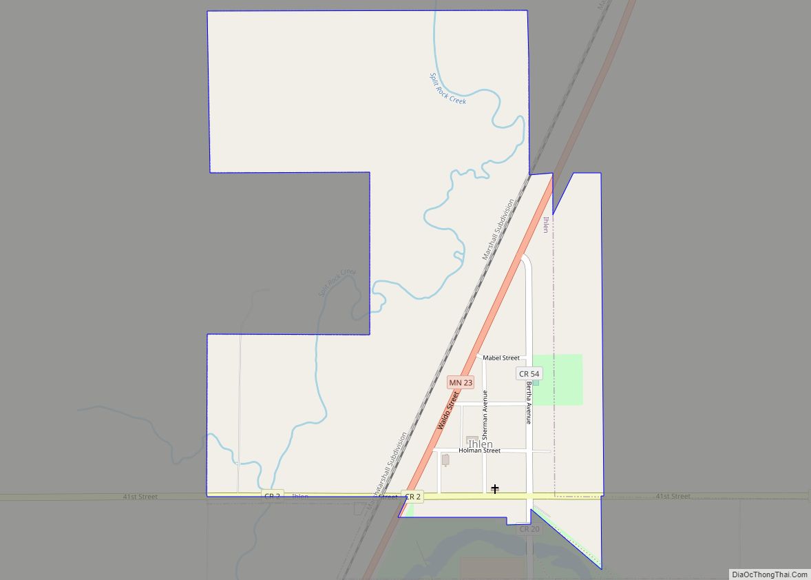
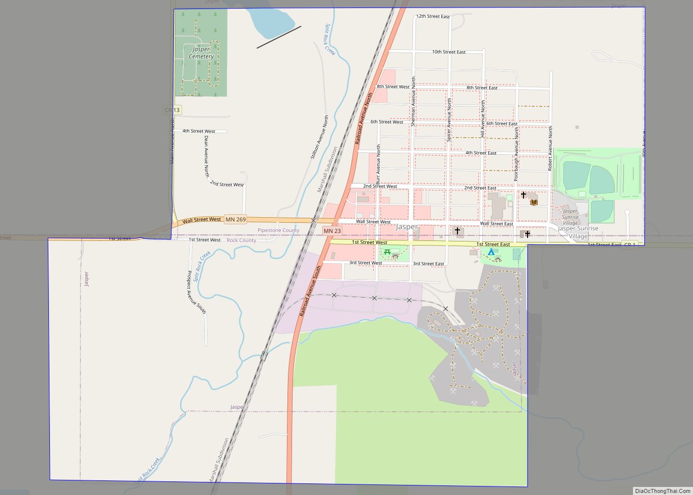
Jasper is a city in Pipestone and Rock counties in the State of Minnesota. The population was 633 at the 2010 census. Most of the city lies in Pipestone County, with only a small part of the city extending into Rock County.
| Name: | Jasper city |
|---|---|
| LSAD Code: | 25 |
| LSAD Description: | city (suffix) |
| State: | Minnesota |
| County: | Pipestone County, Rock County |
| Elevation: | 1,555 ft (474 m) |
| Total Area: | 1.02 sq mi (2.65 km²) |
| Land Area: | 1.02 sq mi (2.64 km²) |
| Water Area: | 0.00 sq mi (0.01 km²) |
| Total Population: | 610 |
| Population Density: | 598.63/sq mi (231.10/km²) |
| ZIP code: | 56144 |
| Area code: | 507 |
| FIPS code: | 2731760 |
| GNISfeature ID: | 0645586 |
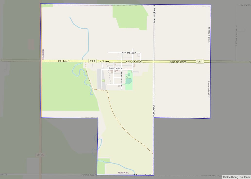
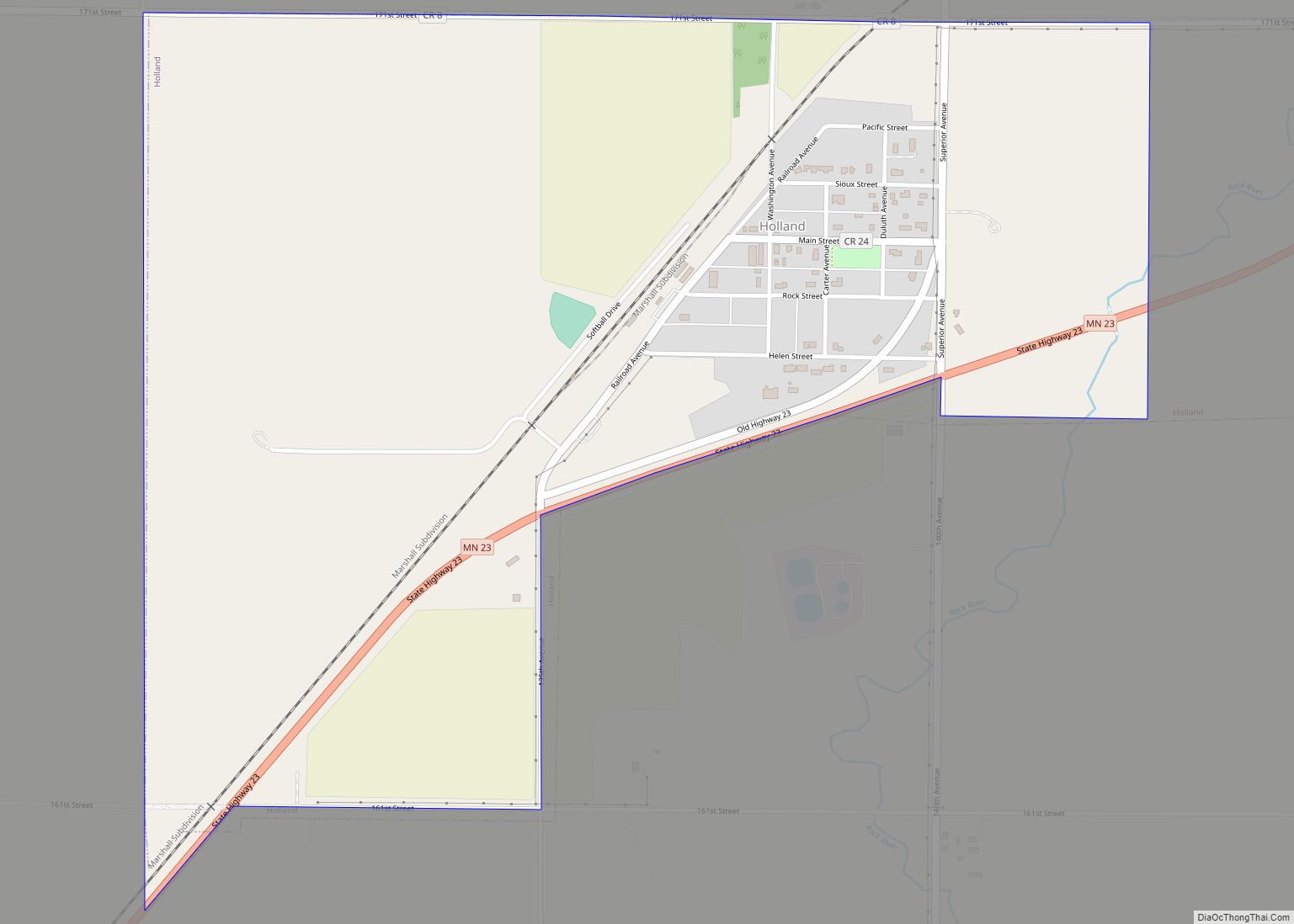
Online Interactive Map
Click on ![]() to view map in "full screen" mode.
to view map in "full screen" mode.
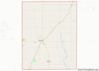
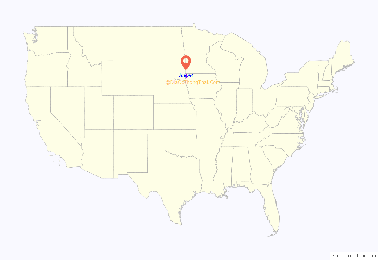
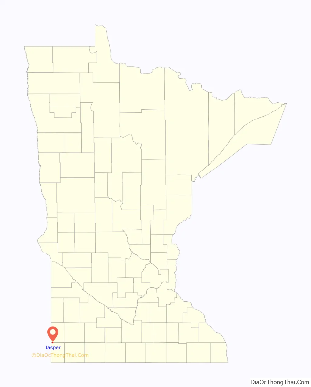
Jasper location map. Where is Jasper city?
History
Jasper was platted in 1888. The city was named for deposits of jasper mined nearby. A post office has been in operation at Jasper since 1888. Jasper was incorporated in 1889.
On July 8, 1927 a tornado near the town was photographed by Lucille Handberg. Her photograph has become a classic image, even appearing on three album covers: Bitches Brew by American jazz musician Miles Davis (1970), as well as English bands Deep Purple (1974) and Siouxsie and the Banshees (1986).
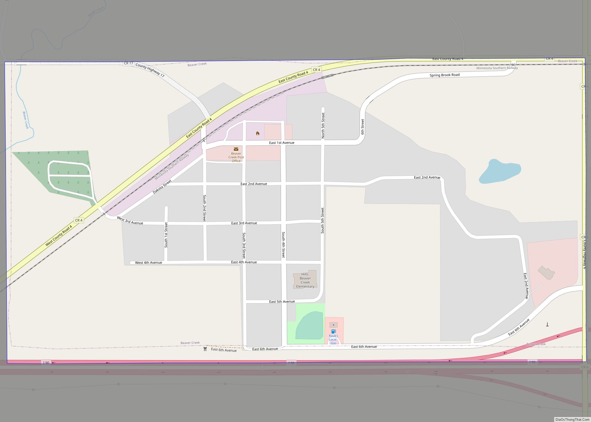
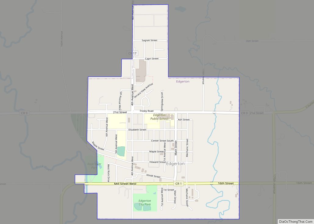
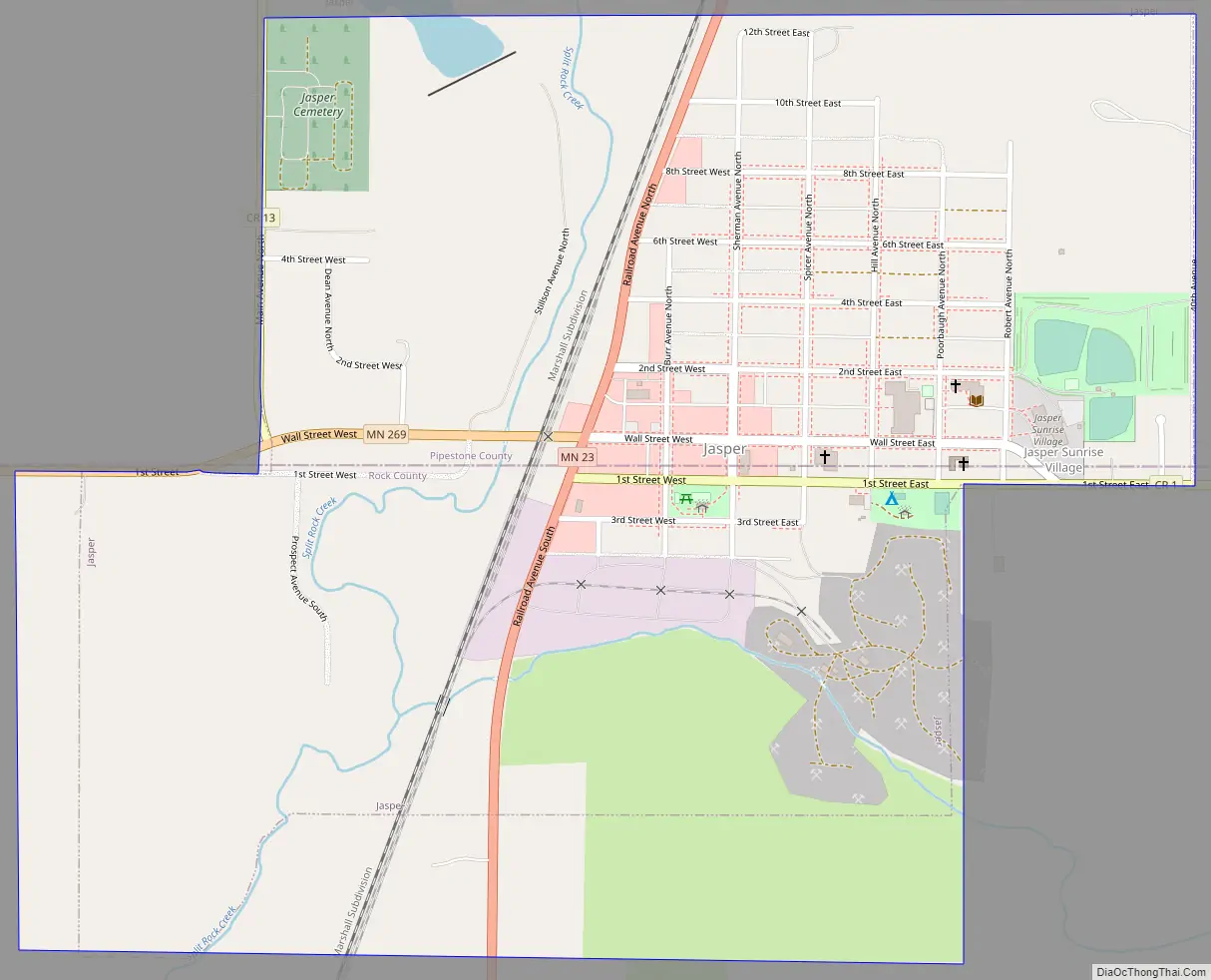
Jasper Road Map
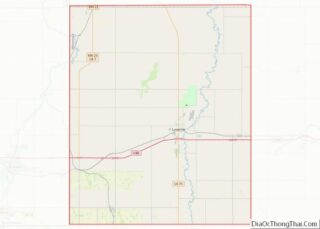
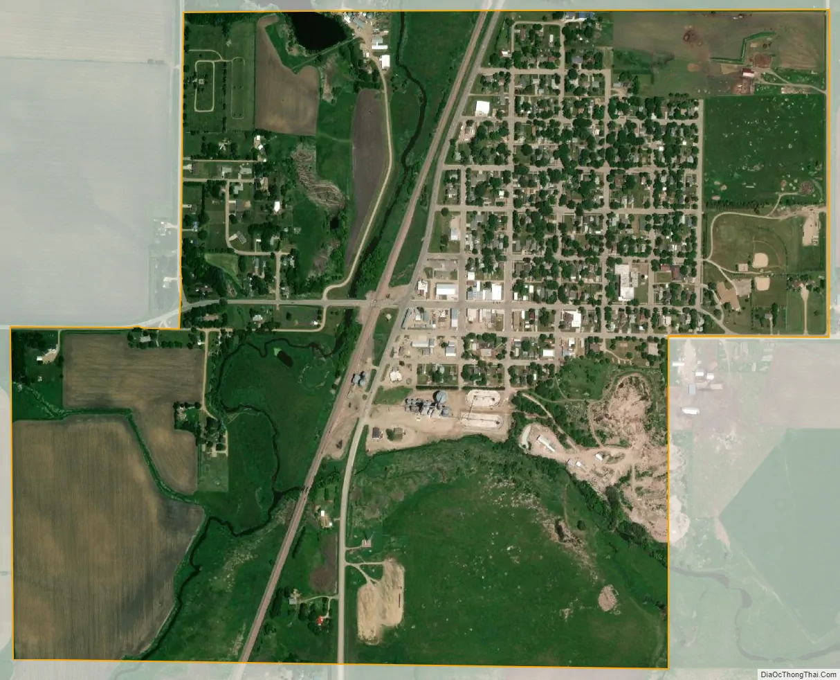
Jasper city Satellite Map
Geography
According to the United States Census Bureau, the city has a total area of 0.88 square miles (2.28 km), all land.
Minnesota State Highways 23 and 269 are two of the main routes in the community.
See also
Map of Minnesota State and its subdivision:- Aitkin
- Anoka
- Becker
- Beltrami
- Benton
- Big Stone
- Blue Earth
- Brown
- Carlton
- Carver
- Cass
- Chippewa
- Chisago
- Clay
- Clearwater
- Cook
- Cottonwood
- Crow Wing
- Dakota
- Dodge
- Douglas
- Faribault
- Fillmore
- Freeborn
- Goodhue
- Grant
- Hennepin
- Houston
- Hubbard
- Isanti
- Itasca
- Jackson
- Kanabec
- Kandiyohi
- Kittson
- Koochiching
- Lac qui Parle
- Lake
- Lake of the Woods
- Lake Superior
- Le Sueur
- Lincoln
- Lyon
- Mahnomen
- Marshall
- Martin
- McLeod
- Meeker
- Mille Lacs
- Morrison
- Mower
- Murray
- Nicollet
- Nobles
- Norman
- Olmsted
- Otter Tail
- Pennington
- Pine
- Pipestone
- Polk
- Pope
- Ramsey
- Red Lake
- Redwood
- Renville
- Rice
- Rock
- Roseau
- Saint Louis
- Scott
- Sherburne
- Sibley
- Stearns
- Steele
- Stevens
- Swift
- Todd
- Traverse
- Wabasha
- Wadena
- Waseca
- Washington
- Watonwan
- Wilkin
- Winona
- Wright
- Yellow Medicine
- Alabama
- Alaska
- Arizona
- Arkansas
- California
- Colorado
- Connecticut
- Delaware
- District of Columbia
- Florida
- Georgia
- Hawaii
- Idaho
- Illinois
- Indiana
- Iowa
- Kansas
- Kentucky
- Louisiana
- Maine
- Maryland
- Massachusetts
- Michigan
- Minnesota
- Mississippi
- Missouri
- Montana
- Nebraska
- Nevada
- New Hampshire
- New Jersey
- New Mexico
- New York
- North Carolina
- North Dakota
- Ohio
- Oklahoma
- Oregon
- Pennsylvania
- Rhode Island
- South Carolina
- South Dakota
- Tennessee
- Texas
- Utah
- Vermont
- Virginia
- Washington
- West Virginia
- Wisconsin
- Wyoming