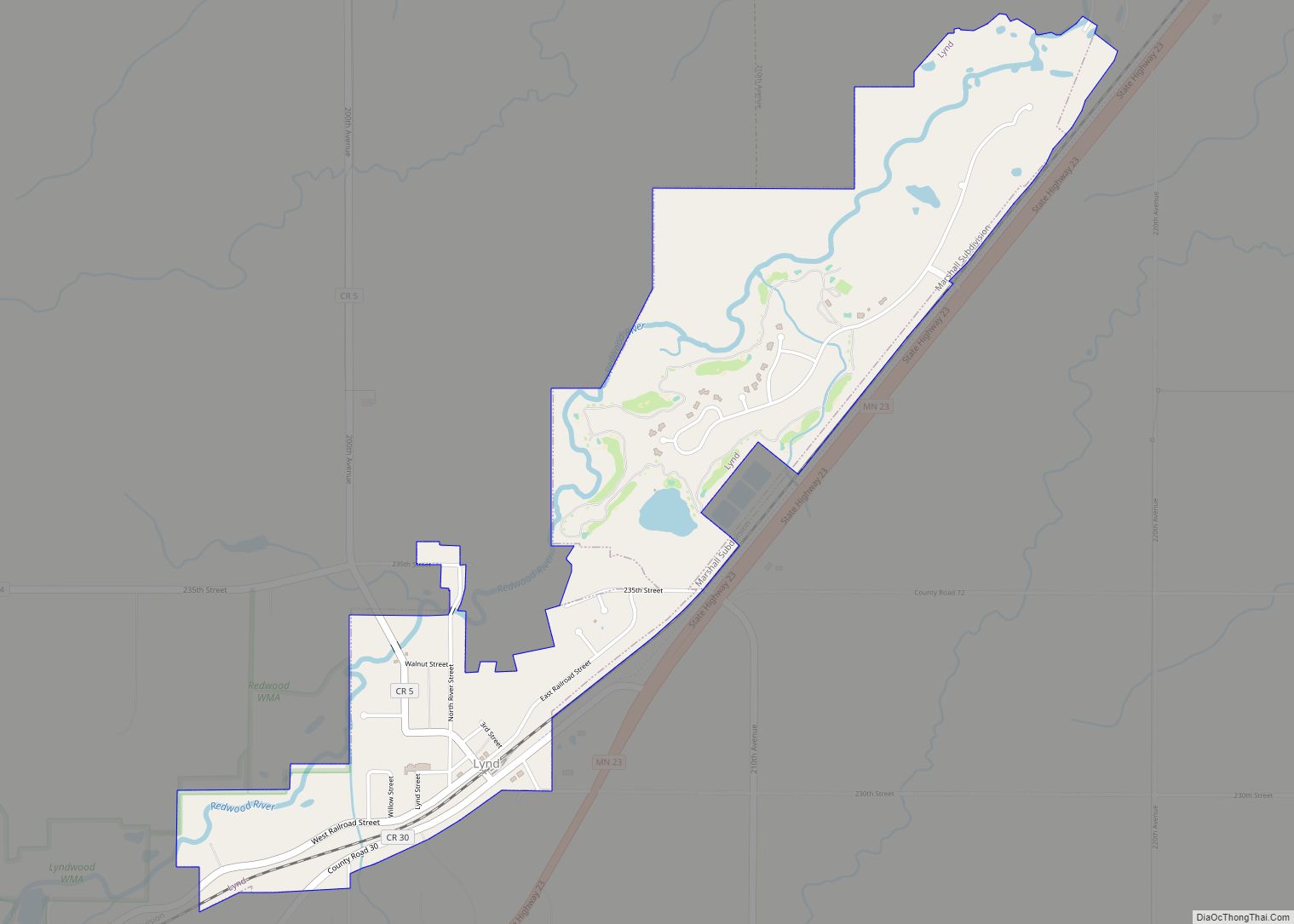
Lynd is a city in Lyon County, Minnesota, United States. The population was 448 at the 2010 census. Lynd is a small but growing community in southwestern Minnesota. The development of a new golf course and an additional housing development have started a growth trend that may eventually double the size of the community. It is primarily a bedroom community for individuals who work in the nearby city of Marshall. Despite being much smaller in size, it historically played a more significant role in the area. The Kiel and Morgan Hotel in the town was the original Lyon County seat.
| Name: | Lynd city |
|---|---|
| LSAD Code: | 25 |
| LSAD Description: | city (suffix) |
| State: | Minnesota |
| County: | Lyon County |
| Elevation: | 1,319 ft (402 m) |
| Total Area: | 1.17 sq mi (3.02 km²) |
| Land Area: | 1.16 sq mi (3.00 km²) |
| Water Area: | 0.01 sq mi (0.02 km²) |
| Total Population: | 436 |
| Population Density: | 376.84/sq mi (145.51/km²) |
| ZIP code: | 56157 |
| Area code: | 507 |
| FIPS code: | 2738708 |
| GNISfeature ID: | 0647328 |
Online Interactive Map
Click on ![]() to view map in "full screen" mode.
to view map in "full screen" mode.
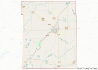
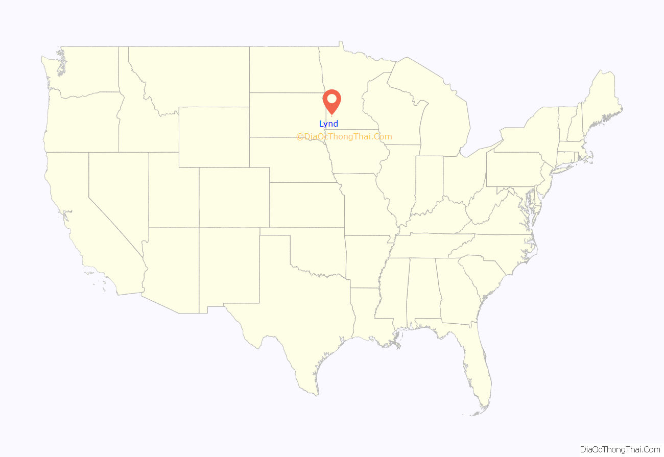
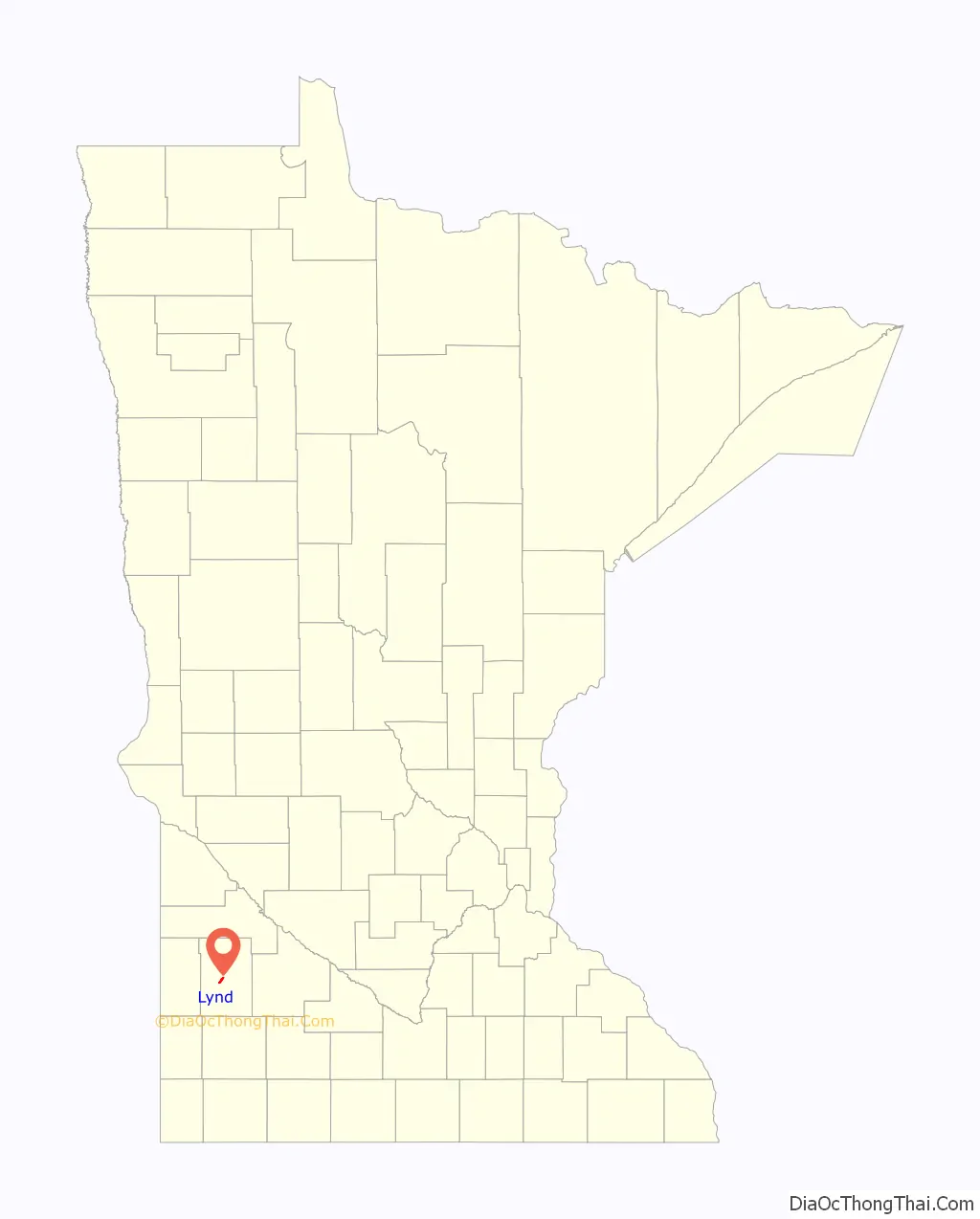
Lynd location map. Where is Lynd city?
History
Lynd was platted in 1888. The city’s namesake is state senator James Lynd, who was killed in the Attack at the Lower Sioux Agency.
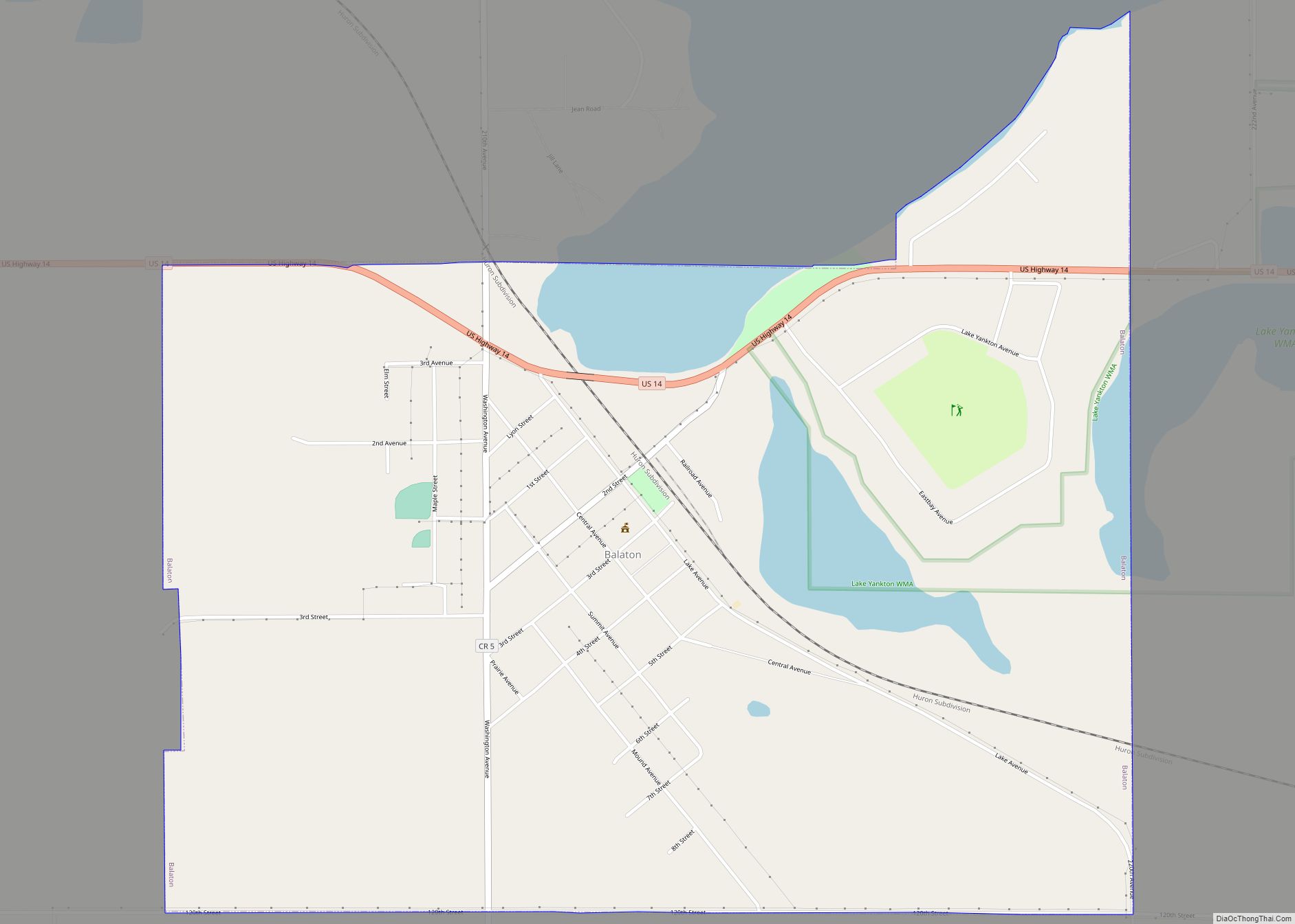
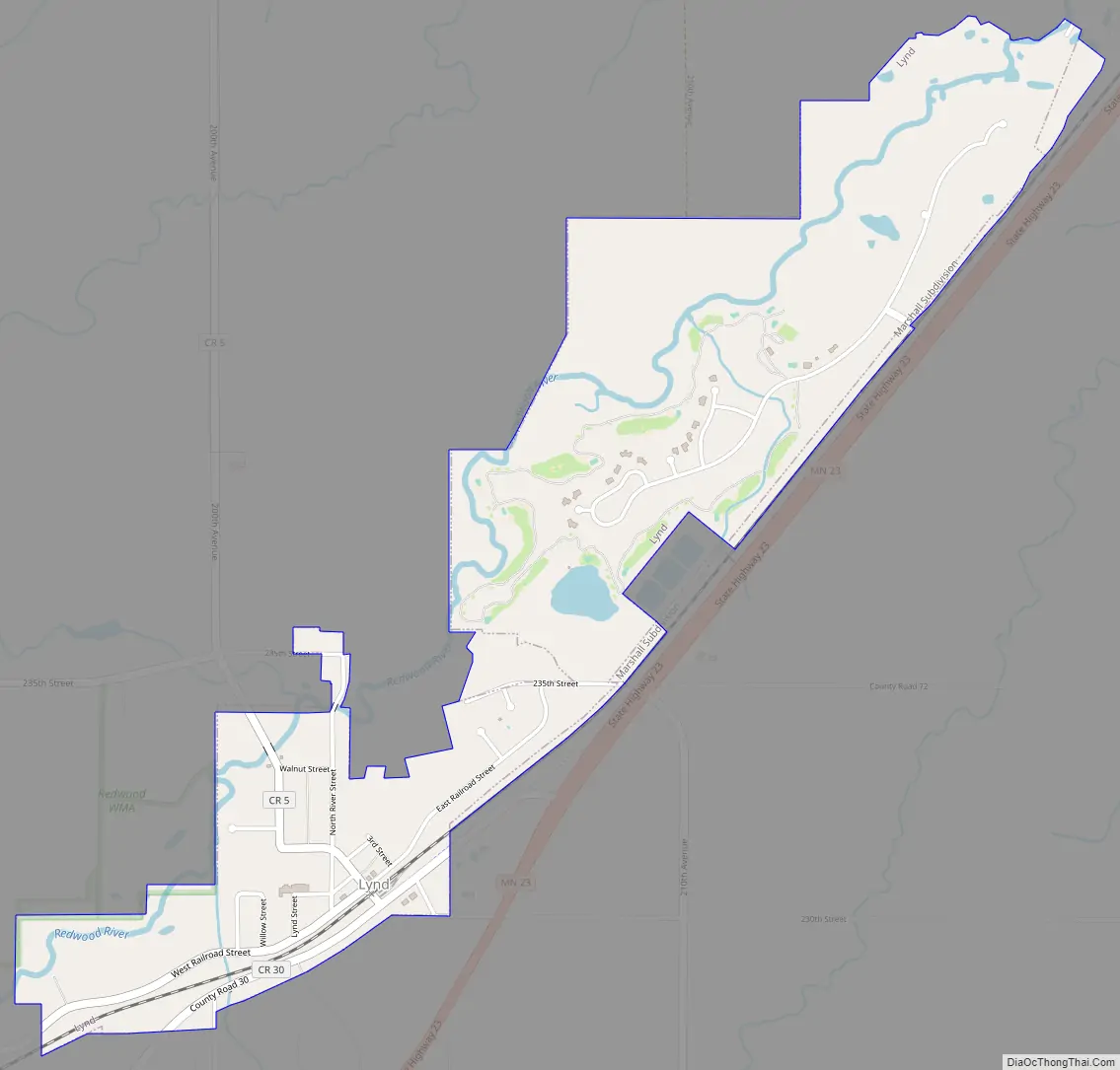
Lynd Road Map
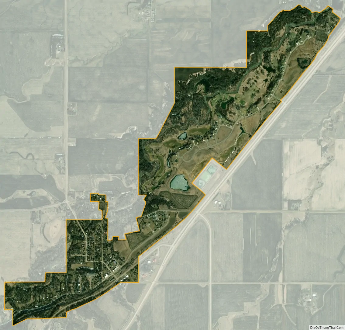
Lynd city Satellite Map
Geography
According to the United States Census Bureau, the city has a total area of 1.19 square miles (3.08 km), of which 1.17 square miles (3.03 km) is land and 0.02 square miles (0.05 km) is water.
The Redwood River flows through the city.
Minnesota State Highway 23 serves as a main route in the community.
See also
Map of Minnesota State and its subdivision:- Aitkin
- Anoka
- Becker
- Beltrami
- Benton
- Big Stone
- Blue Earth
- Brown
- Carlton
- Carver
- Cass
- Chippewa
- Chisago
- Clay
- Clearwater
- Cook
- Cottonwood
- Crow Wing
- Dakota
- Dodge
- Douglas
- Faribault
- Fillmore
- Freeborn
- Goodhue
- Grant
- Hennepin
- Houston
- Hubbard
- Isanti
- Itasca
- Jackson
- Kanabec
- Kandiyohi
- Kittson
- Koochiching
- Lac qui Parle
- Lake
- Lake of the Woods
- Lake Superior
- Le Sueur
- Lincoln
- Lyon
- Mahnomen
- Marshall
- Martin
- McLeod
- Meeker
- Mille Lacs
- Morrison
- Mower
- Murray
- Nicollet
- Nobles
- Norman
- Olmsted
- Otter Tail
- Pennington
- Pine
- Pipestone
- Polk
- Pope
- Ramsey
- Red Lake
- Redwood
- Renville
- Rice
- Rock
- Roseau
- Saint Louis
- Scott
- Sherburne
- Sibley
- Stearns
- Steele
- Stevens
- Swift
- Todd
- Traverse
- Wabasha
- Wadena
- Waseca
- Washington
- Watonwan
- Wilkin
- Winona
- Wright
- Yellow Medicine
- Alabama
- Alaska
- Arizona
- Arkansas
- California
- Colorado
- Connecticut
- Delaware
- District of Columbia
- Florida
- Georgia
- Hawaii
- Idaho
- Illinois
- Indiana
- Iowa
- Kansas
- Kentucky
- Louisiana
- Maine
- Maryland
- Massachusetts
- Michigan
- Minnesota
- Mississippi
- Missouri
- Montana
- Nebraska
- Nevada
- New Hampshire
- New Jersey
- New Mexico
- New York
- North Carolina
- North Dakota
- Ohio
- Oklahoma
- Oregon
- Pennsylvania
- Rhode Island
- South Carolina
- South Dakota
- Tennessee
- Texas
- Utah
- Vermont
- Virginia
- Washington
- West Virginia
- Wisconsin
- Wyoming