Morton is a city in Renville County, Minnesota, United States. This city is ninety-five miles southwest of Minneapolis. It is the administrative headquarters of the Lower Sioux Indian Reservation. The population was 411 at the 2010 census.
| Name: | Morton city |
|---|---|
| LSAD Code: | 25 |
| LSAD Description: | city (suffix) |
| State: | Minnesota |
| County: | Renville County |
| Elevation: | 863 ft (263 m) |
| Total Area: | 1.22 sq mi (3.17 km²) |
| Land Area: | 1.21 sq mi (3.14 km²) |
| Water Area: | 0.01 sq mi (0.03 km²) |
| Total Population: | 410 |
| Population Density: | 338.56/sq mi (130.68/km²) |
| ZIP code: | 56270 |
| Area code: | 507 |
| FIPS code: | 2744368 |
| GNISfeature ID: | 0648125 |
| Website: | www.mortonmn.com |
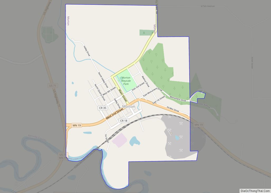
Online Interactive Map
Click on ![]() to view map in "full screen" mode.
to view map in "full screen" mode.
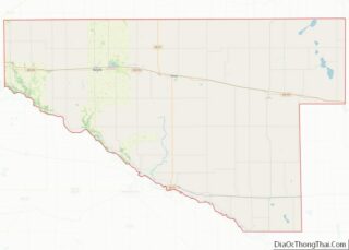
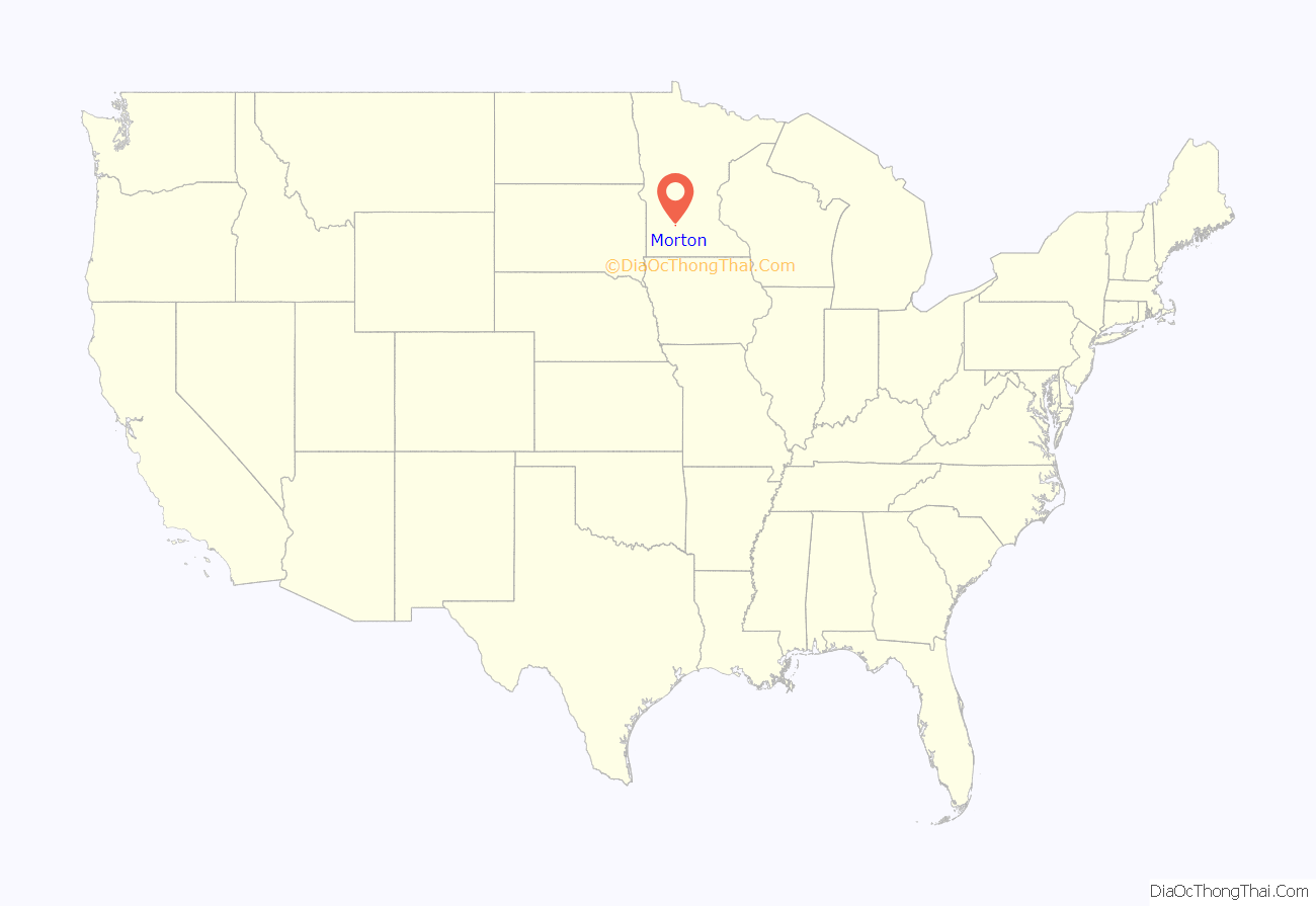
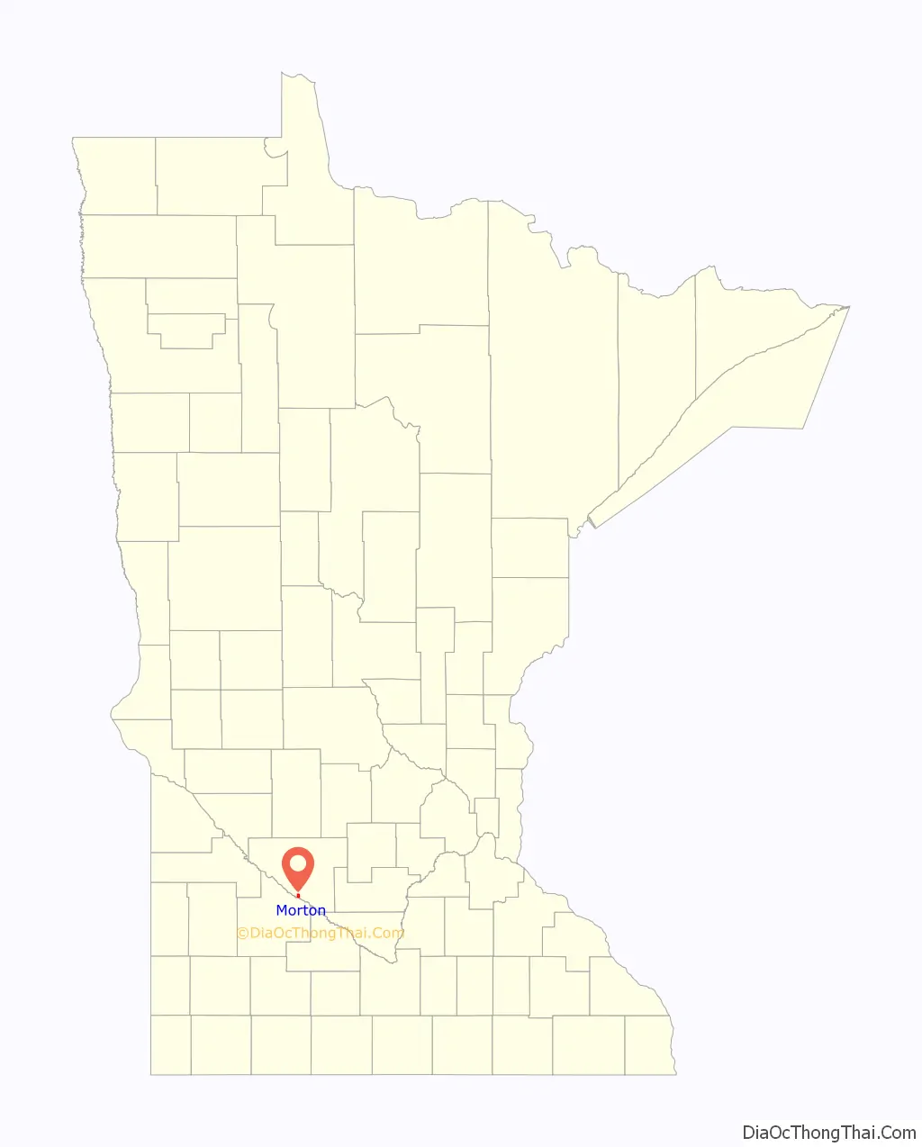
Morton location map. Where is Morton city?
History
Morton was platted in 1882. Morton was incorporated in 1887. Darby Nelson (1940-2022), writer and politician, lived in Morton.
The 1862 Battle of Birch Coulee took place in what would later become the town of Morton and the adjacent Birch Coulee Township.
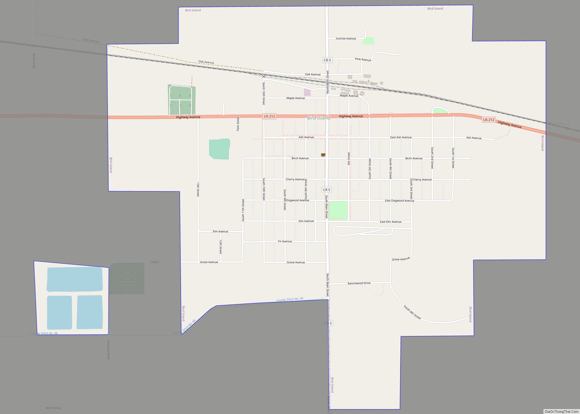
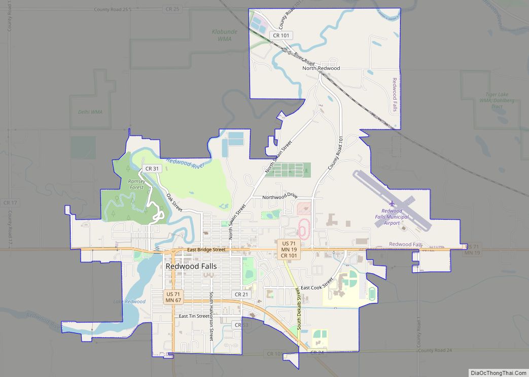
Morton Road Map
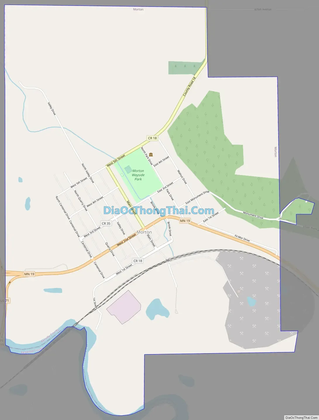
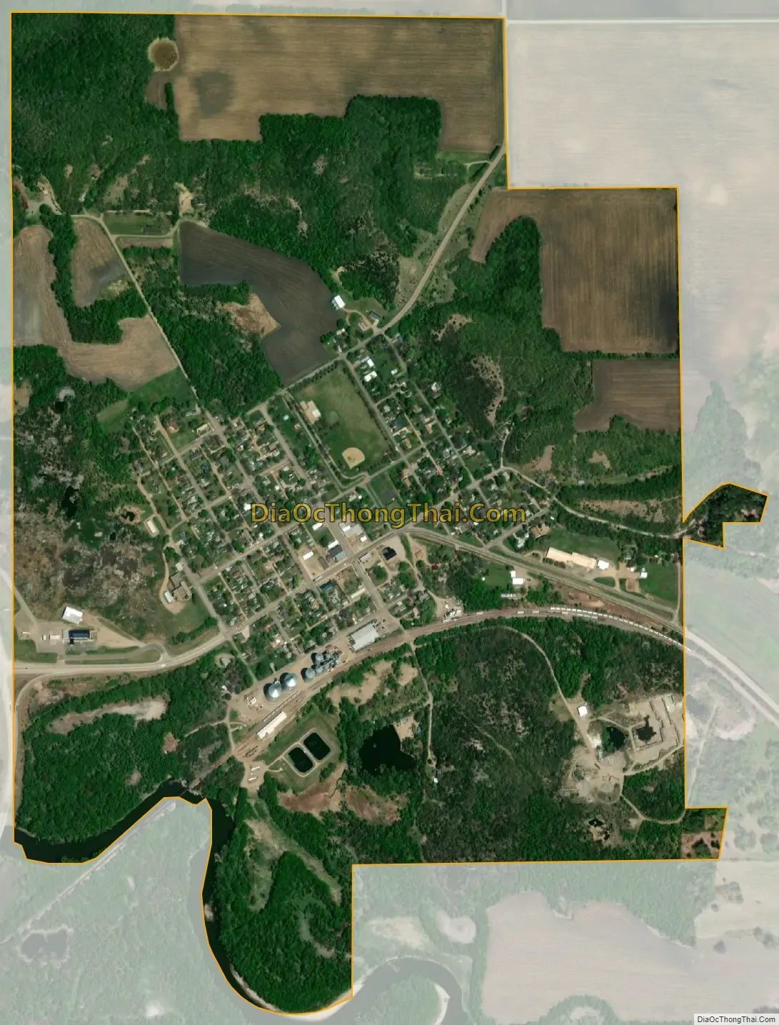
Morton city Satellite Map
Geography
According to the United States Census Bureau, the city has a total area of 1.22 square miles (3.16 km); 1.21 square miles (3.13 km) is land and 0.01 square miles (0.03 km) is water.
U.S. Route 71 and Minnesota State Highway 19 are two of the main routes in the community.
See also
Map of Minnesota State and its subdivision:- Aitkin
- Anoka
- Becker
- Beltrami
- Benton
- Big Stone
- Blue Earth
- Brown
- Carlton
- Carver
- Cass
- Chippewa
- Chisago
- Clay
- Clearwater
- Cook
- Cottonwood
- Crow Wing
- Dakota
- Dodge
- Douglas
- Faribault
- Fillmore
- Freeborn
- Goodhue
- Grant
- Hennepin
- Houston
- Hubbard
- Isanti
- Itasca
- Jackson
- Kanabec
- Kandiyohi
- Kittson
- Koochiching
- Lac qui Parle
- Lake
- Lake of the Woods
- Lake Superior
- Le Sueur
- Lincoln
- Lyon
- Mahnomen
- Marshall
- Martin
- McLeod
- Meeker
- Mille Lacs
- Morrison
- Mower
- Murray
- Nicollet
- Nobles
- Norman
- Olmsted
- Otter Tail
- Pennington
- Pine
- Pipestone
- Polk
- Pope
- Ramsey
- Red Lake
- Redwood
- Renville
- Rice
- Rock
- Roseau
- Saint Louis
- Scott
- Sherburne
- Sibley
- Stearns
- Steele
- Stevens
- Swift
- Todd
- Traverse
- Wabasha
- Wadena
- Waseca
- Washington
- Watonwan
- Wilkin
- Winona
- Wright
- Yellow Medicine
- Alabama
- Alaska
- Arizona
- Arkansas
- California
- Colorado
- Connecticut
- Delaware
- District of Columbia
- Florida
- Georgia
- Hawaii
- Idaho
- Illinois
- Indiana
- Iowa
- Kansas
- Kentucky
- Louisiana
- Maine
- Maryland
- Massachusetts
- Michigan
- Minnesota
- Mississippi
- Missouri
- Montana
- Nebraska
- Nevada
- New Hampshire
- New Jersey
- New Mexico
- New York
- North Carolina
- North Dakota
- Ohio
- Oklahoma
- Oregon
- Pennsylvania
- Rhode Island
- South Carolina
- South Dakota
- Tennessee
- Texas
- Utah
- Vermont
- Virginia
- Washington
- West Virginia
- Wisconsin
- Wyoming