Tracy is a city in Lyon County, Minnesota, United States. The population was 2,163 at the 2010 census.
U.S. Route 14 serves as a main arterial route in the community.
| Name: | Tracy city |
|---|---|
| LSAD Code: | 25 |
| LSAD Description: | city (suffix) |
| State: | Minnesota |
| County: | Lyon County |
| Elevation: | 1,391 ft (424 m) |
| Total Area: | 2.44 sq mi (6.33 km²) |
| Land Area: | 2.40 sq mi (6.20 km²) |
| Water Area: | 0.05 sq mi (0.12 km²) |
| Total Population: | 2,076 |
| Population Density: | 866.44/sq mi (334.57/km²) |
| ZIP code: | 56175 |
| Area code: | 507 |
| FIPS code: | 2765308 |
| GNISfeature ID: | 0653262 |
| Website: | www.tracymn.org |
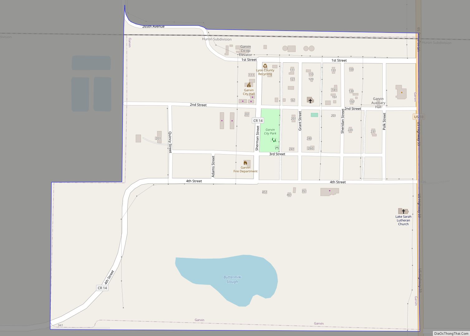
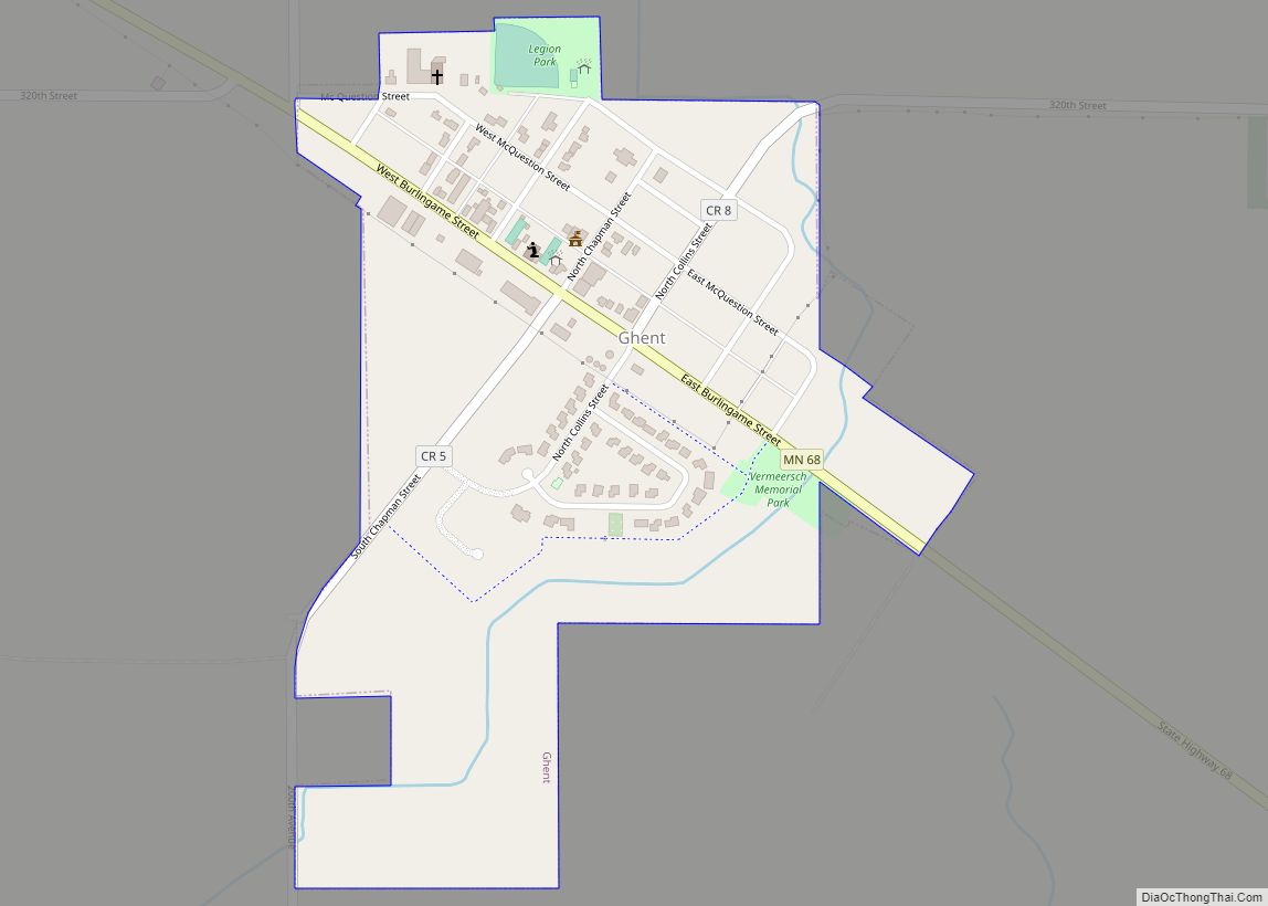
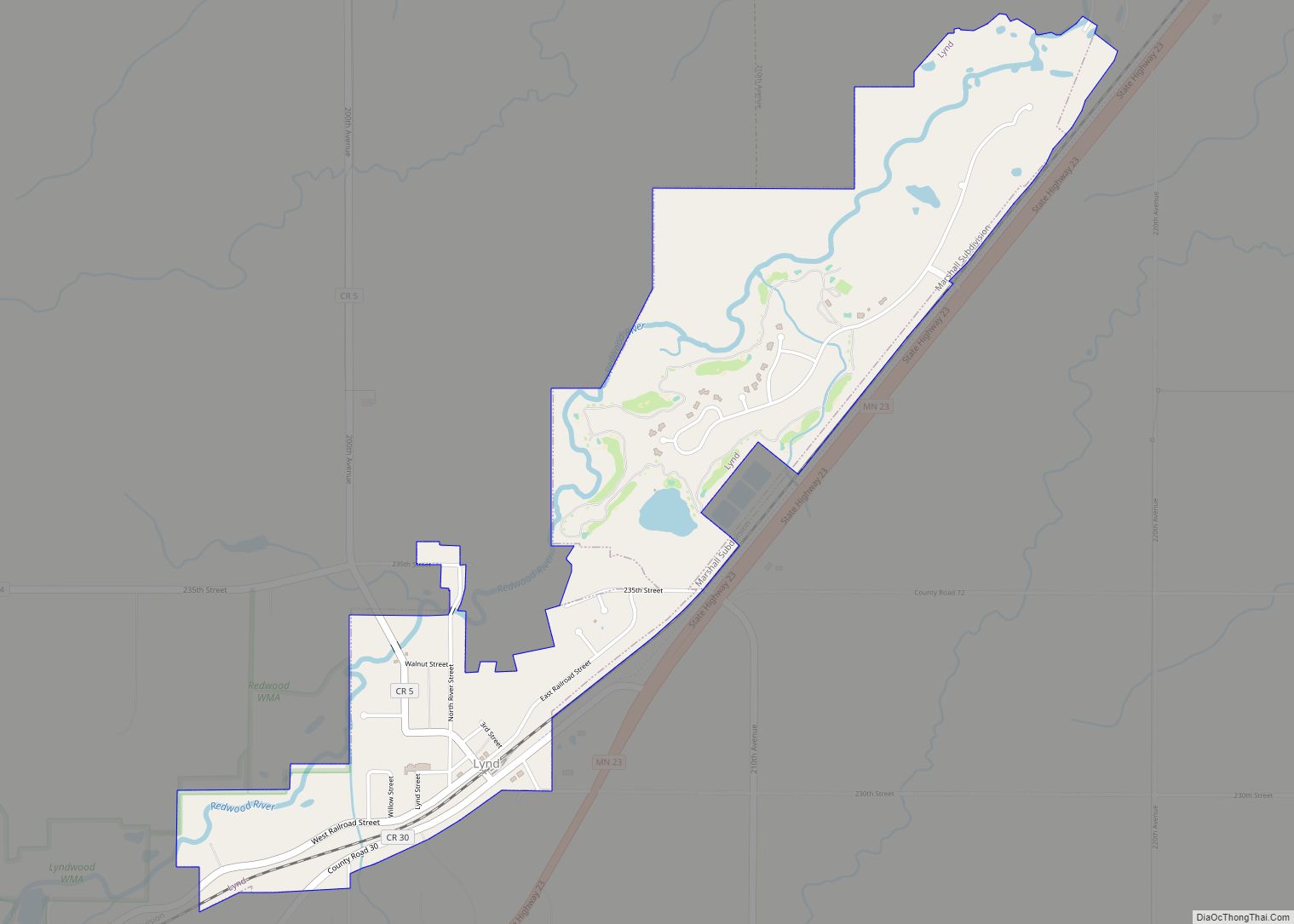
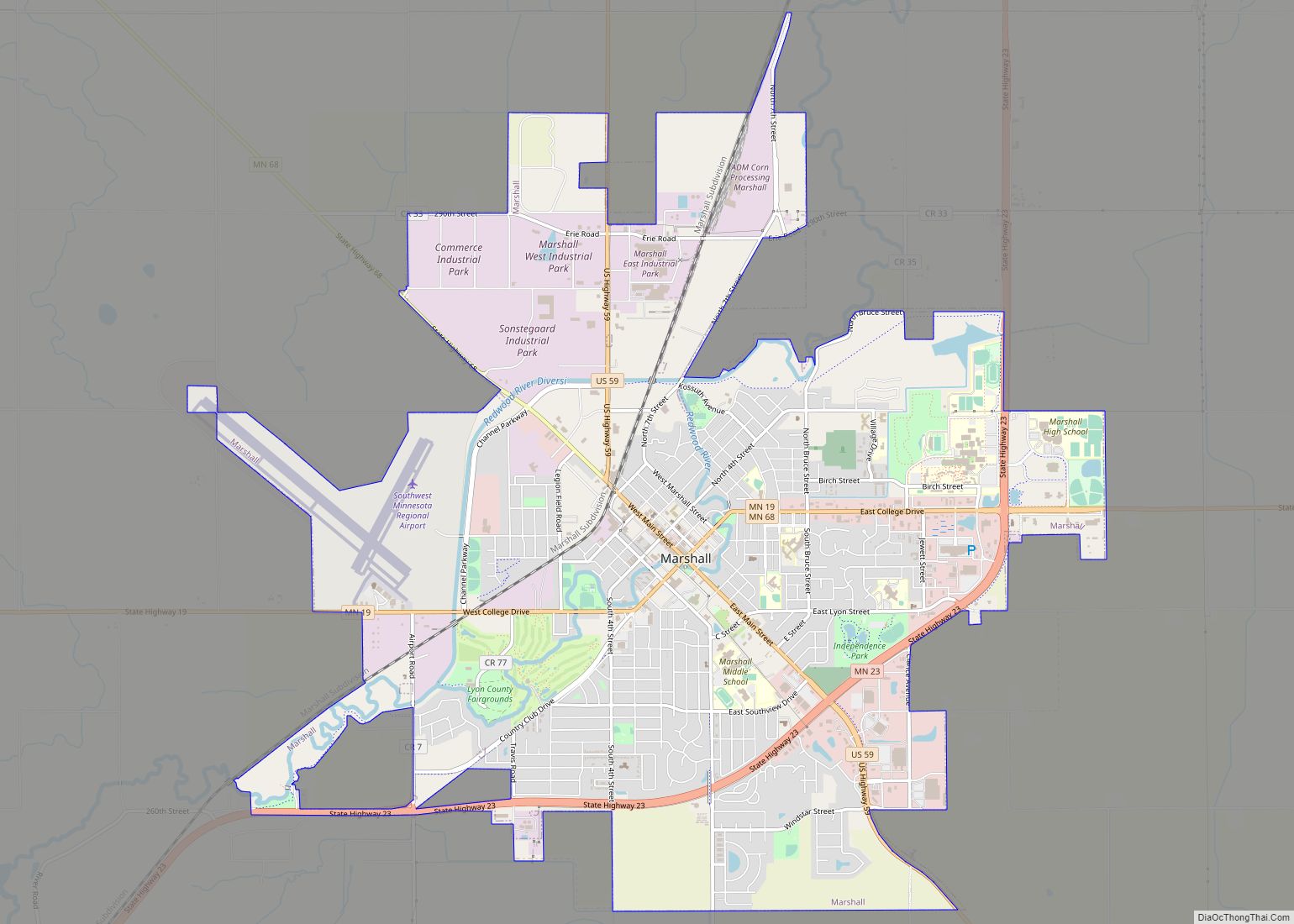
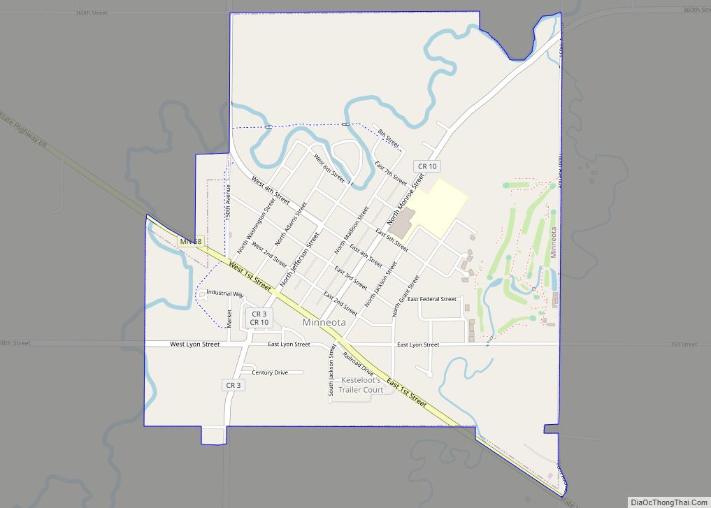
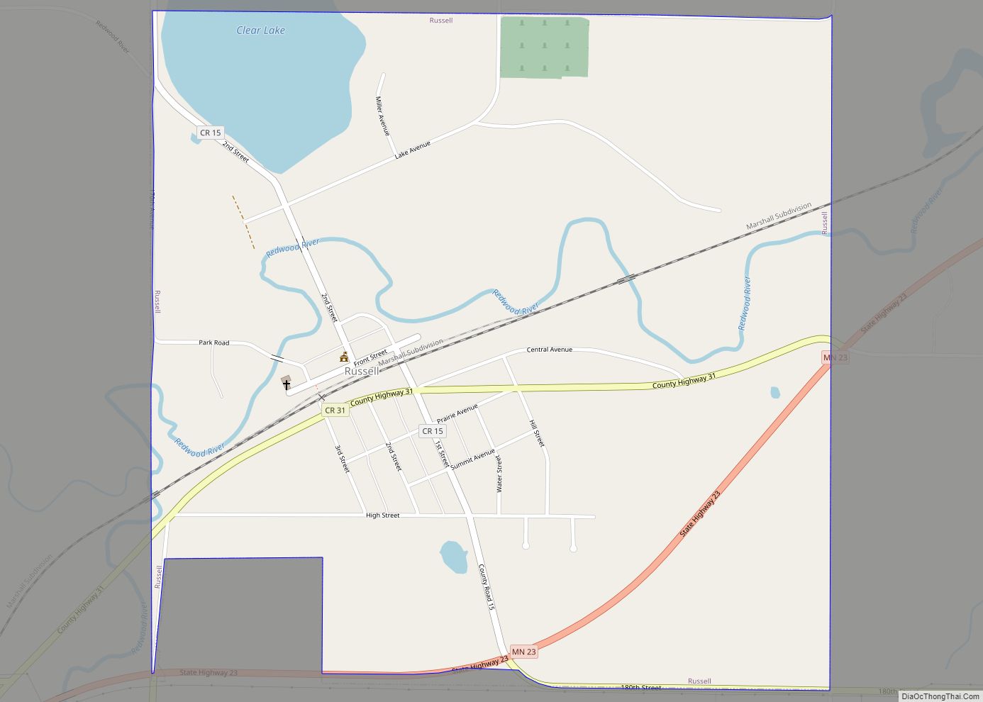
Online Interactive Map
Click on ![]() to view map in "full screen" mode.
to view map in "full screen" mode.
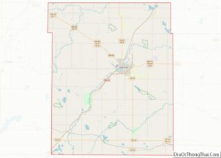
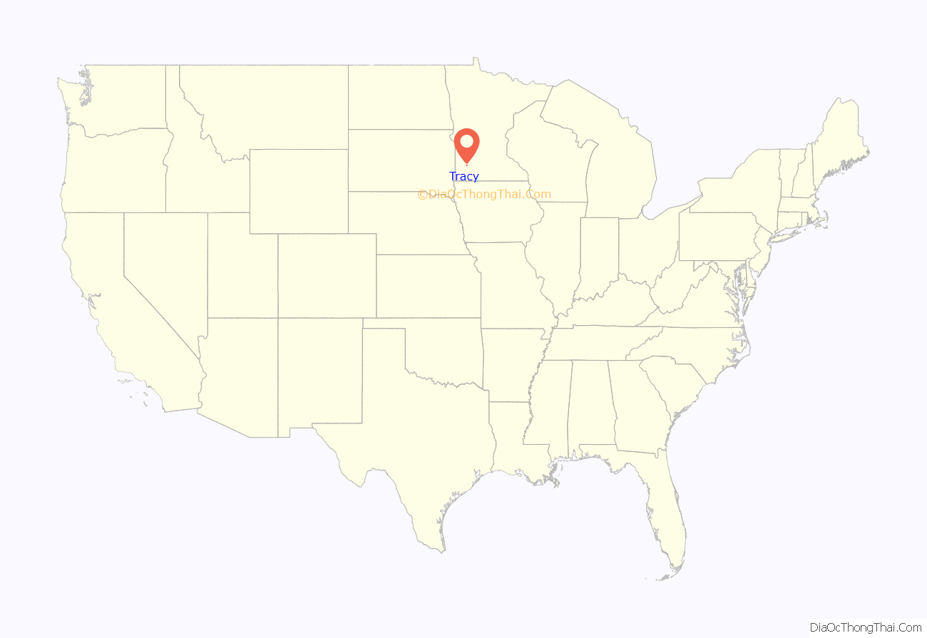
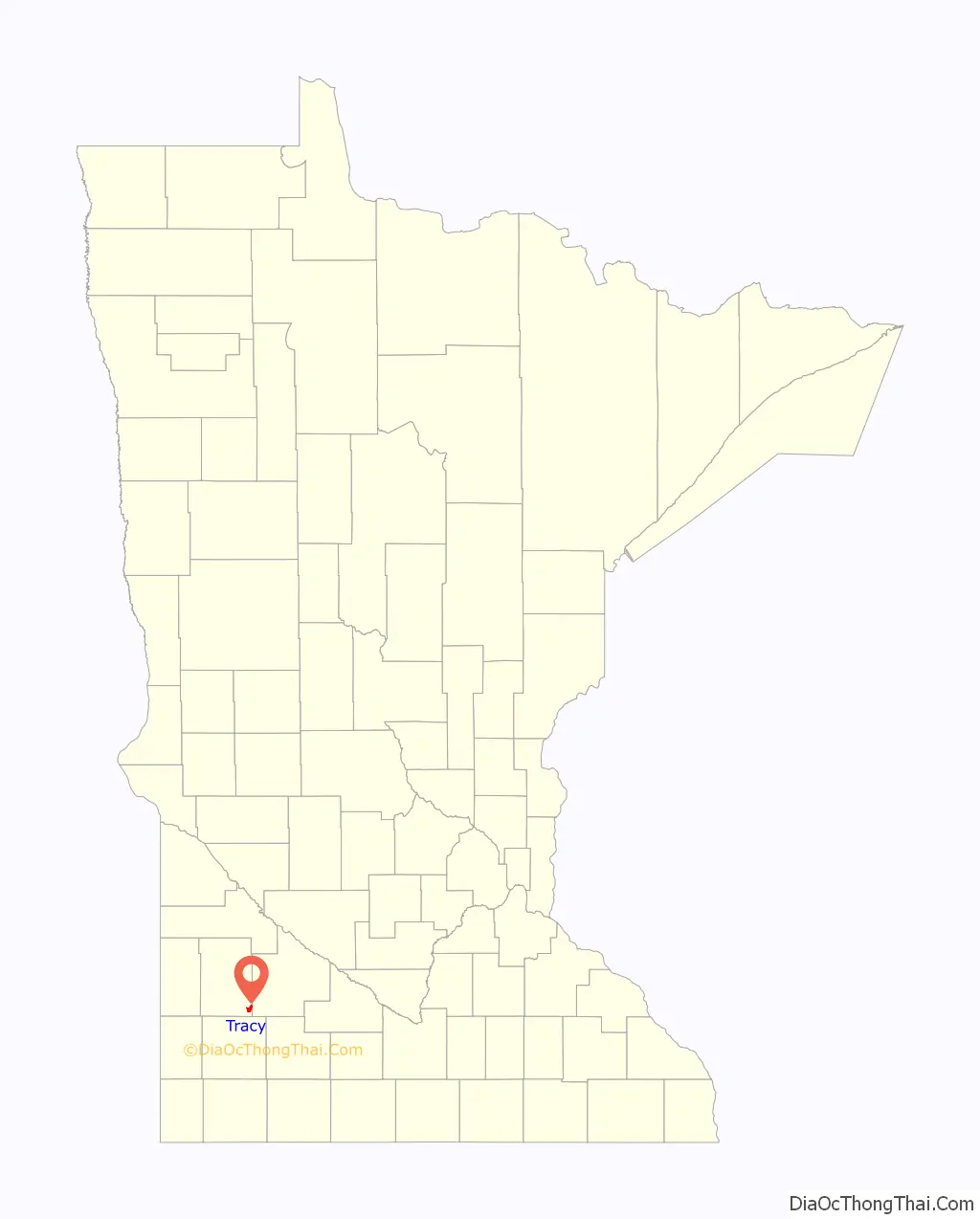
Tracy location map. Where is Tracy city?
History
Tracy was platted in 1875. It was named for John F. Tracy, a railroad official. A post office called Tracy has been in operation since 1877. The city was incorporated in 1893.
On June 13, 1968, Tracy was hit by an F5 tornado which killed nine people and injured 150. Until the 1960s, Tracy was a highly active railroad town on the Chicago & Northwestern Railway as a concentration point for numerous branchlines in the area serving heavy agriculture. Today, Tracy holds an annual summer festival called “Boxcar Days,” which takes place Labor Day weekend as a sign of the railroad’s influence on the town. Currently, Tracy is still a division point on the Canadian Pacific Railway (formerly the Dakota, Minnesota and Eastern Railroad), where railroad crews from both east and west exchange trains.
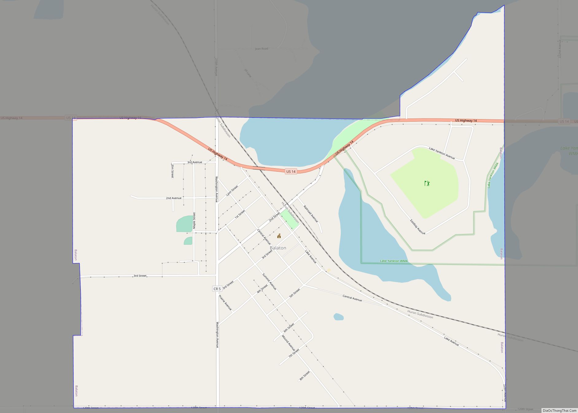
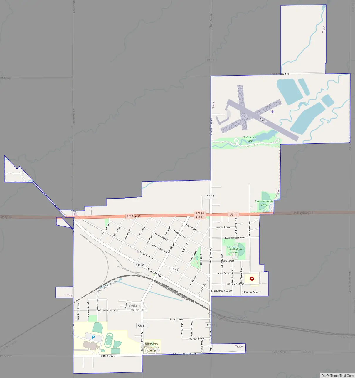
Tracy Road Map
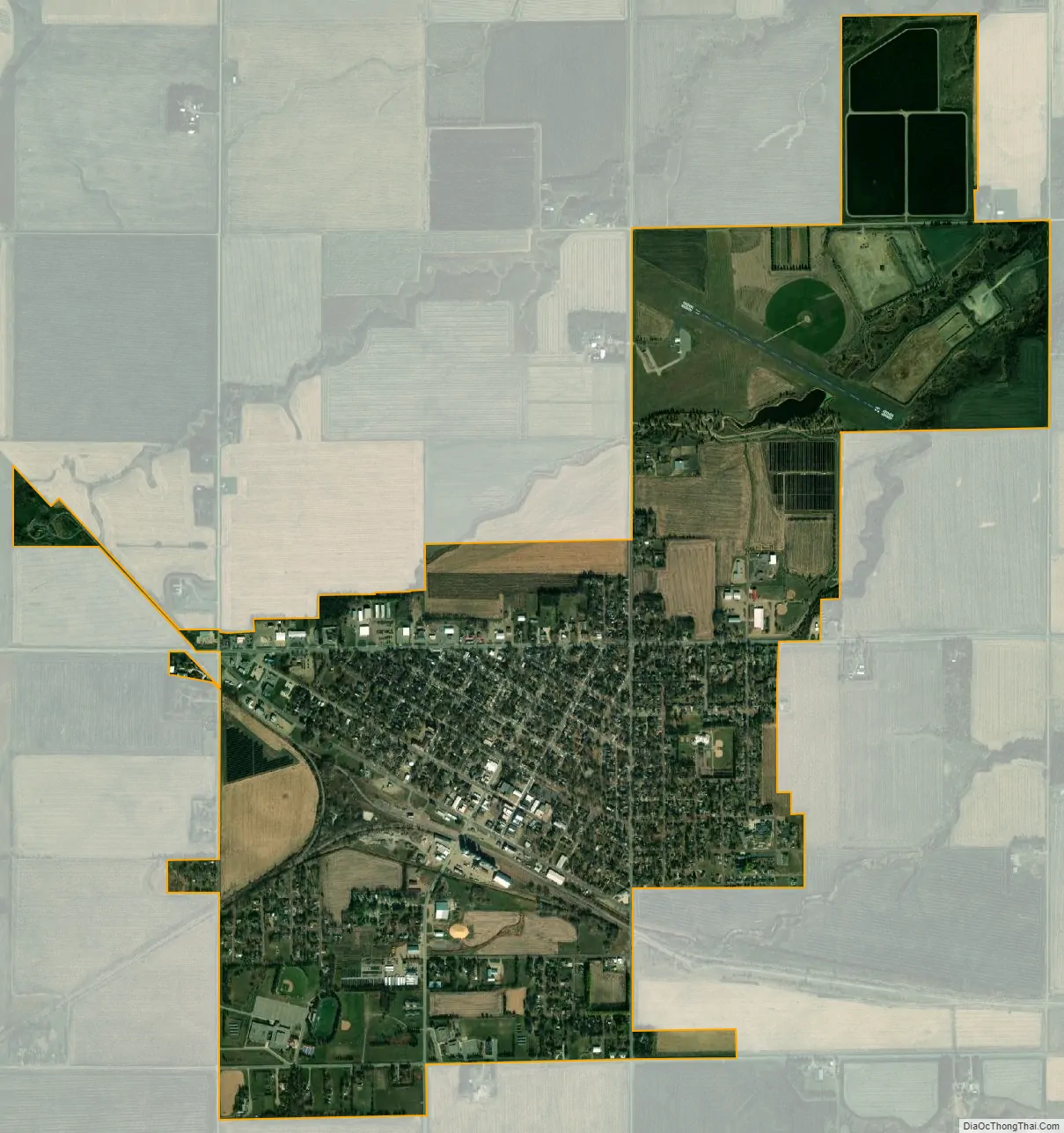
Tracy city Satellite Map
Geography
According to the United States Census Bureau, the city has a total area of 2.23 square miles (5.78 km), of which 2.18 square miles (5.65 km) is land and 0.05 square miles (0.13 km) is water.
Climate
See also
Map of Minnesota State and its subdivision:- Aitkin
- Anoka
- Becker
- Beltrami
- Benton
- Big Stone
- Blue Earth
- Brown
- Carlton
- Carver
- Cass
- Chippewa
- Chisago
- Clay
- Clearwater
- Cook
- Cottonwood
- Crow Wing
- Dakota
- Dodge
- Douglas
- Faribault
- Fillmore
- Freeborn
- Goodhue
- Grant
- Hennepin
- Houston
- Hubbard
- Isanti
- Itasca
- Jackson
- Kanabec
- Kandiyohi
- Kittson
- Koochiching
- Lac qui Parle
- Lake
- Lake of the Woods
- Lake Superior
- Le Sueur
- Lincoln
- Lyon
- Mahnomen
- Marshall
- Martin
- McLeod
- Meeker
- Mille Lacs
- Morrison
- Mower
- Murray
- Nicollet
- Nobles
- Norman
- Olmsted
- Otter Tail
- Pennington
- Pine
- Pipestone
- Polk
- Pope
- Ramsey
- Red Lake
- Redwood
- Renville
- Rice
- Rock
- Roseau
- Saint Louis
- Scott
- Sherburne
- Sibley
- Stearns
- Steele
- Stevens
- Swift
- Todd
- Traverse
- Wabasha
- Wadena
- Waseca
- Washington
- Watonwan
- Wilkin
- Winona
- Wright
- Yellow Medicine
- Alabama
- Alaska
- Arizona
- Arkansas
- California
- Colorado
- Connecticut
- Delaware
- District of Columbia
- Florida
- Georgia
- Hawaii
- Idaho
- Illinois
- Indiana
- Iowa
- Kansas
- Kentucky
- Louisiana
- Maine
- Maryland
- Massachusetts
- Michigan
- Minnesota
- Mississippi
- Missouri
- Montana
- Nebraska
- Nevada
- New Hampshire
- New Jersey
- New Mexico
- New York
- North Carolina
- North Dakota
- Ohio
- Oklahoma
- Oregon
- Pennsylvania
- Rhode Island
- South Carolina
- South Dakota
- Tennessee
- Texas
- Utah
- Vermont
- Virginia
- Washington
- West Virginia
- Wisconsin
- Wyoming