Walnut Grove is a city in Redwood County, Minnesota, United States. The population was 871 at the 2010 census. Another name formerly associated with the area is Walnut Station.
| Name: | Walnut Grove city |
|---|---|
| LSAD Code: | 25 |
| LSAD Description: | city (suffix) |
| State: | Minnesota |
| County: | Redwood County |
| Founded: | 1874 |
| Incorporated: | 1879 |
| Elevation: | 1,217 ft (371 m) |
| Total Area: | 1.09 sq mi (2.82 km²) |
| Land Area: | 1.09 sq mi (2.82 km²) |
| Water Area: | 0.00 sq mi (0.00 km²) |
| Total Population: | 751 |
| Population Density: | 688.36/sq mi (265.89/km²) |
| ZIP code: | 56180 |
| Area code: | 507 |
| FIPS code: | 2767846 |
| GNISfeature ID: | 0653743 |
| Website: | www.walnutgrovemn.org |
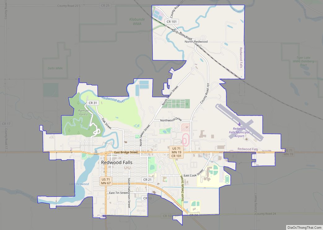
Online Interactive Map
Click on ![]() to view map in "full screen" mode.
to view map in "full screen" mode.
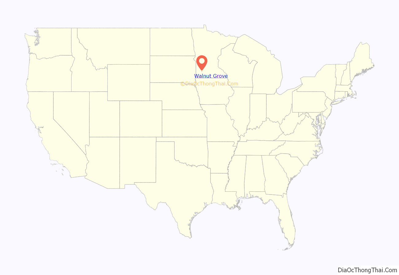
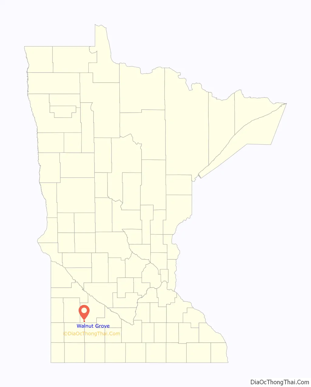
Walnut Grove location map. Where is Walnut Grove city?
History
Walnut Grove was platted in 1874. It was named for a grove of black walnut trees near the original town site. It was incorporated in 1879.
Walnut Grove is the site of the Laura Ingalls Wilder Museum, dedicated to the author of the Little House on the Prairie books. Wilder and her family lived in the area for a part of her childhood and the location is the setting for the Plum Creek part of the Little House book series. Charles Ingalls, her father, was the community’s first justice and her only brother, Charles Frederick “Freddy” Ingalls (November 1, 1875 – August 27, 1876), was born in Walnut Grove. The name “Walnut Grove” was also used in the Little House on the Prairie television series, although the program was filmed in California.
Walnut Grove gained more than 250 residents between 2001 and 2006. The residents are Hmong. This has increased the population to nearly 900, and Hmong now comprise 42 percent of the students in the Westbrook-Walnut Grove School District.
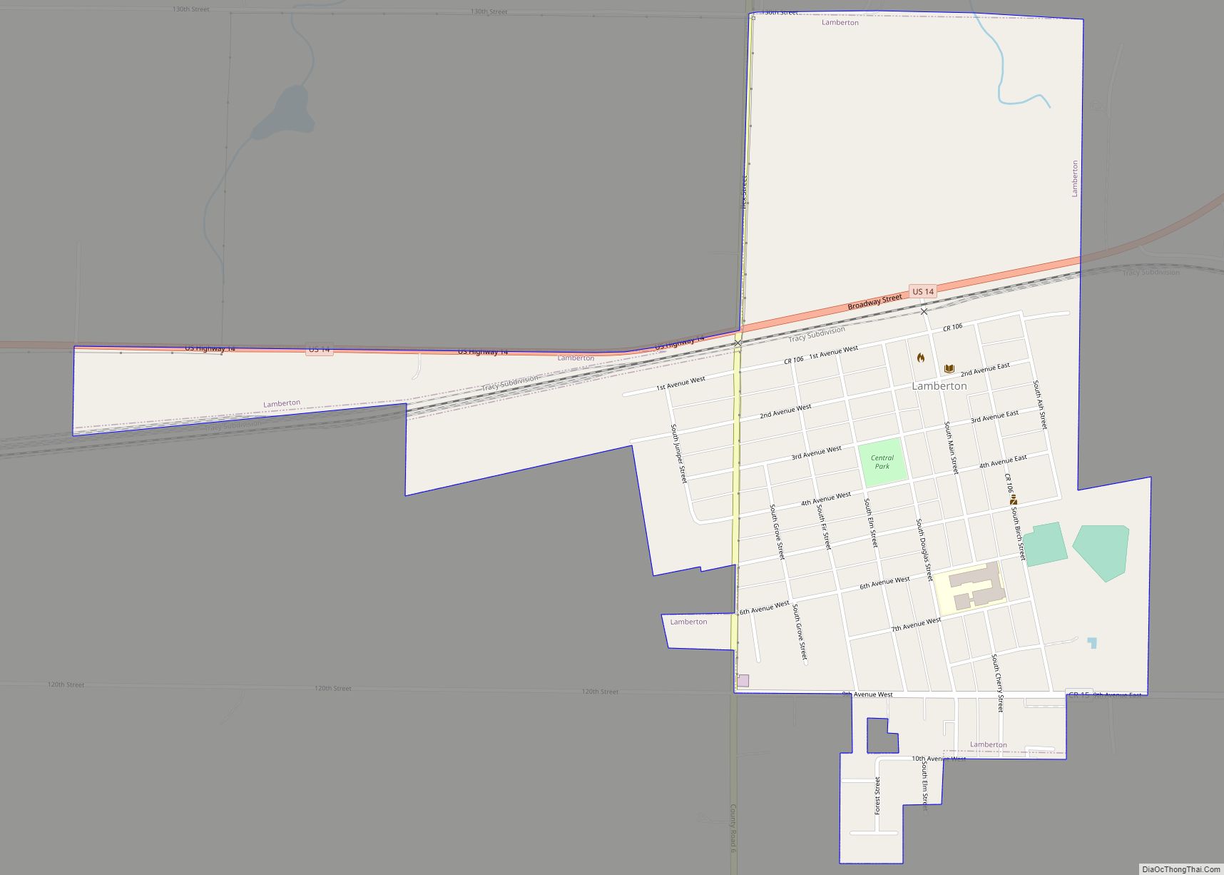
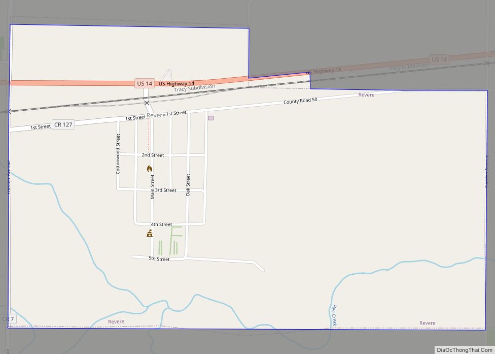
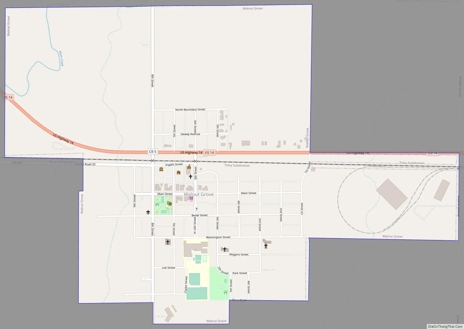
Walnut Grove Road Map
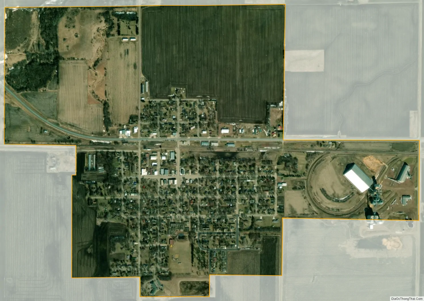
Walnut Grove city Satellite Map
Geography
According to the United States Census Bureau, the city has a total area of 1.06 square miles (2.75 km), all land.
Walnut Grove lies along U.S. Route 14, which connects it with Tracy to the west and Revere to the east. The town is located on Plum Creek.
See also
Map of Minnesota State and its subdivision:- Aitkin
- Anoka
- Becker
- Beltrami
- Benton
- Big Stone
- Blue Earth
- Brown
- Carlton
- Carver
- Cass
- Chippewa
- Chisago
- Clay
- Clearwater
- Cook
- Cottonwood
- Crow Wing
- Dakota
- Dodge
- Douglas
- Faribault
- Fillmore
- Freeborn
- Goodhue
- Grant
- Hennepin
- Houston
- Hubbard
- Isanti
- Itasca
- Jackson
- Kanabec
- Kandiyohi
- Kittson
- Koochiching
- Lac qui Parle
- Lake
- Lake of the Woods
- Lake Superior
- Le Sueur
- Lincoln
- Lyon
- Mahnomen
- Marshall
- Martin
- McLeod
- Meeker
- Mille Lacs
- Morrison
- Mower
- Murray
- Nicollet
- Nobles
- Norman
- Olmsted
- Otter Tail
- Pennington
- Pine
- Pipestone
- Polk
- Pope
- Ramsey
- Red Lake
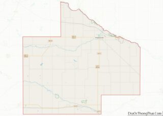
- Redwood
- Renville
- Rice
- Rock
- Roseau
- Saint Louis
- Scott
- Sherburne
- Sibley
- Stearns
- Steele
- Stevens
- Swift
- Todd
- Traverse
- Wabasha
- Wadena
- Waseca
- Washington
- Watonwan
- Wilkin
- Winona
- Wright
- Yellow Medicine
- Alabama
- Alaska
- Arizona
- Arkansas
- California
- Colorado
- Connecticut
- Delaware
- District of Columbia
- Florida
- Georgia
- Hawaii
- Idaho
- Illinois
- Indiana
- Iowa
- Kansas
- Kentucky
- Louisiana
- Maine
- Maryland
- Massachusetts
- Michigan
- Minnesota
- Mississippi
- Missouri
- Montana
- Nebraska
- Nevada
- New Hampshire
- New Jersey
- New Mexico
- New York
- North Carolina
- North Dakota
- Ohio
- Oklahoma
- Oregon
- Pennsylvania
- Rhode Island
- South Carolina
- South Dakota
- Tennessee
- Texas
- Utah
- Vermont
- Virginia
- Washington
- West Virginia
- Wisconsin
- Wyoming