Waubun is a city in Mahnomen County, Minnesota, United States. The population was 400 at the 2010 census.
U.S. Route 59 and Minnesota State Highway 113 are two of the main routes in the community.
| Name: | Waubun city |
|---|---|
| LSAD Code: | 25 |
| LSAD Description: | city (suffix) |
| State: | Minnesota |
| County: | Mahnomen County |
| Elevation: | 1,240 ft (378 m) |
| Total Area: | 0.51 sq mi (1.33 km²) |
| Land Area: | 0.51 sq mi (1.33 km²) |
| Water Area: | 0.00 sq mi (0.00 km²) |
| Total Population: | 409 |
| Population Density: | 795.72/sq mi (307.05/km²) |
| Area code: | 218 |
| FIPS code: | 2768674 |
| GNISfeature ID: | 0653849 |
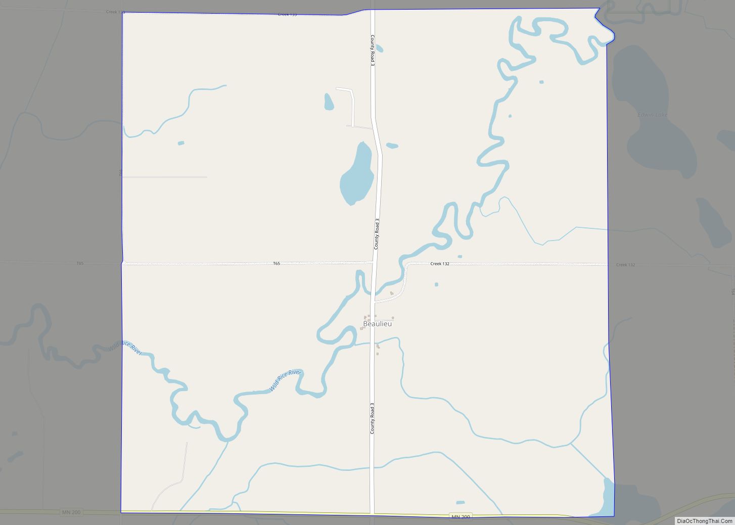
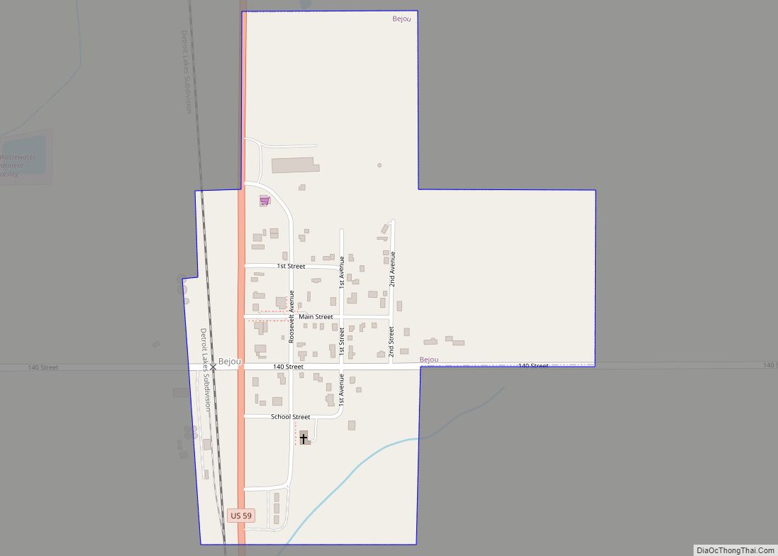
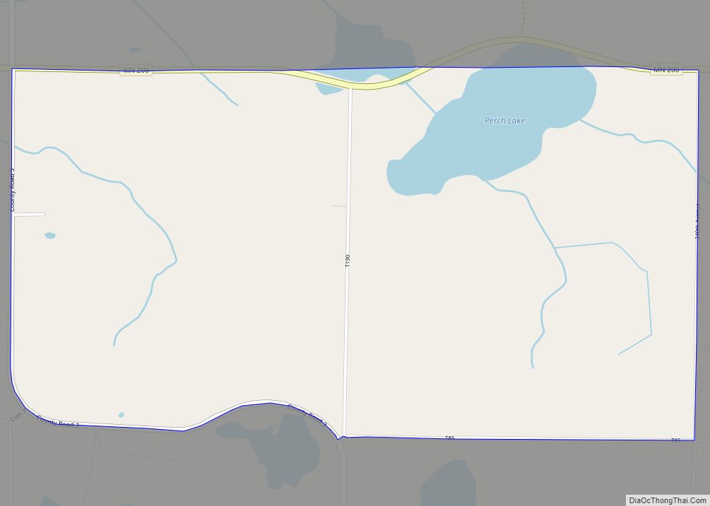
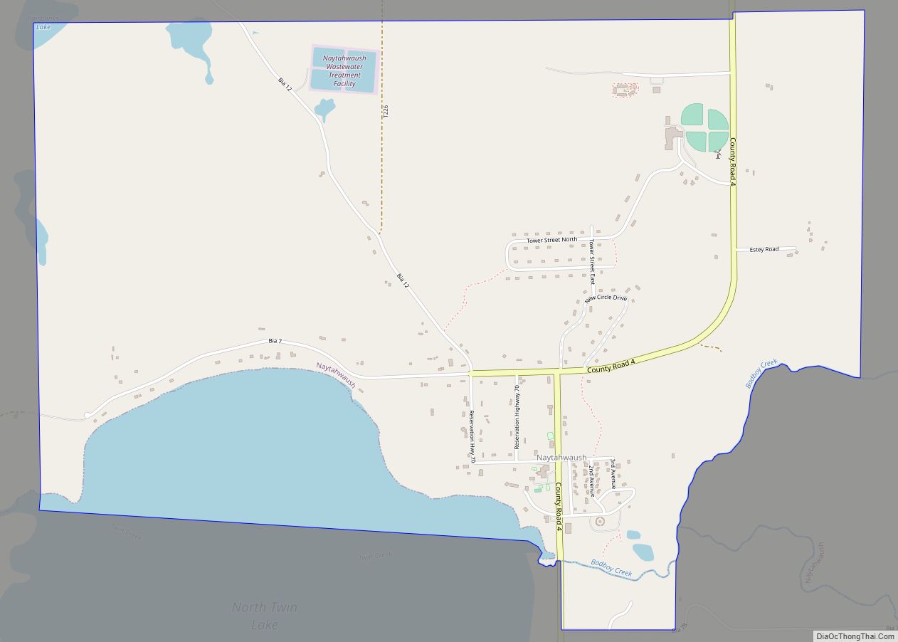
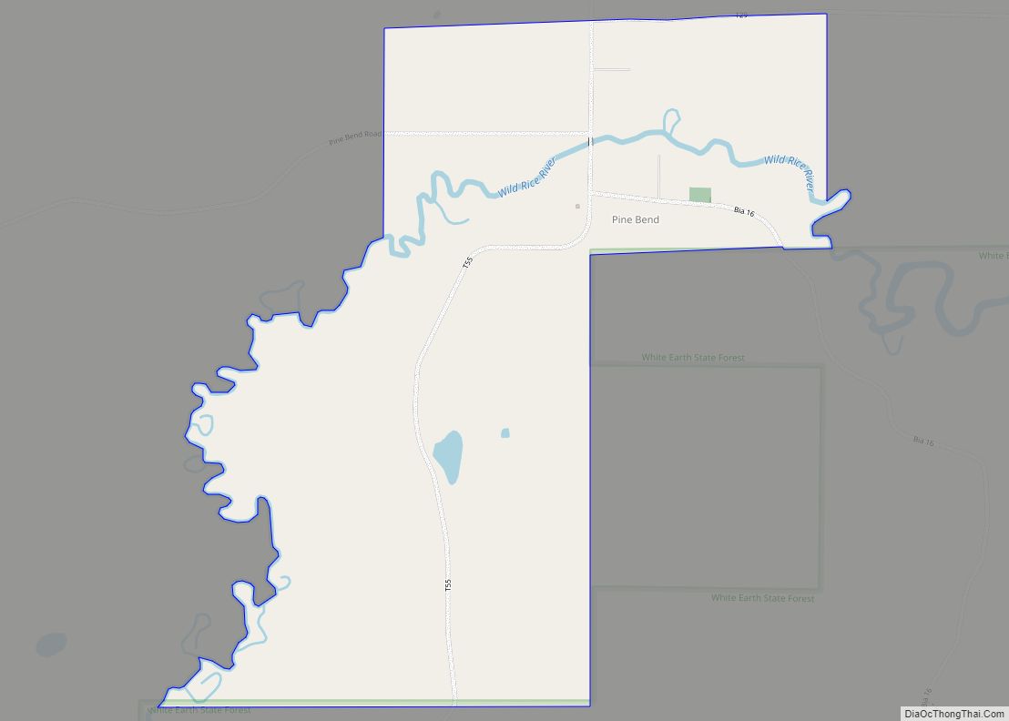
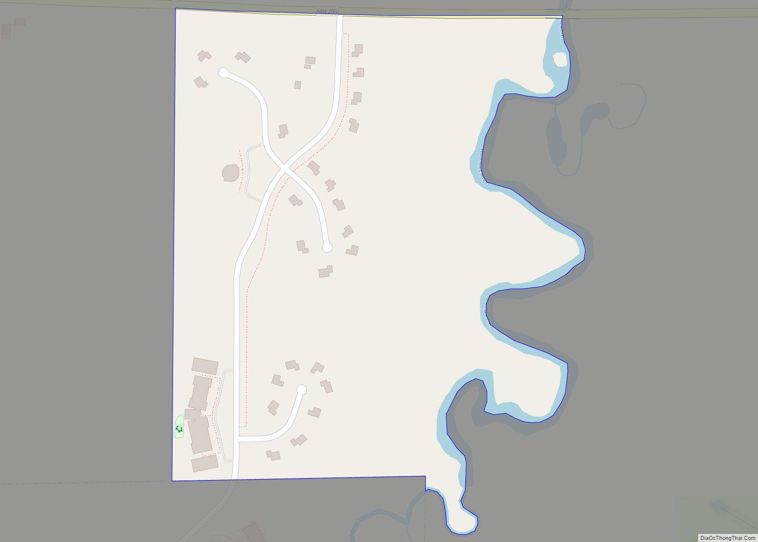
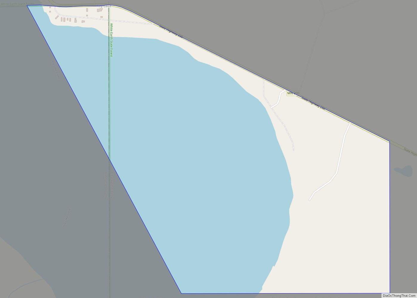
Online Interactive Map
Click on ![]() to view map in "full screen" mode.
to view map in "full screen" mode.
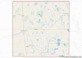
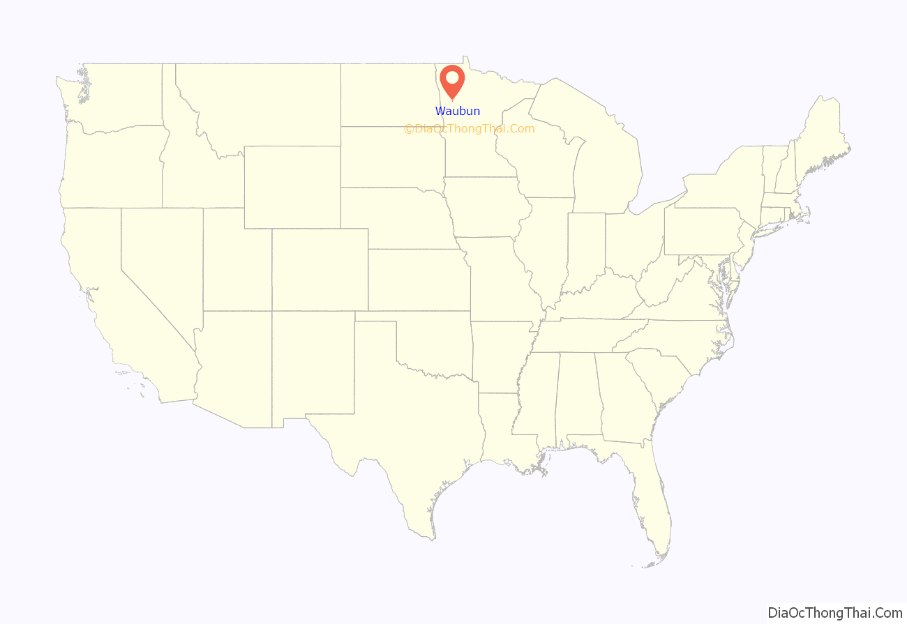
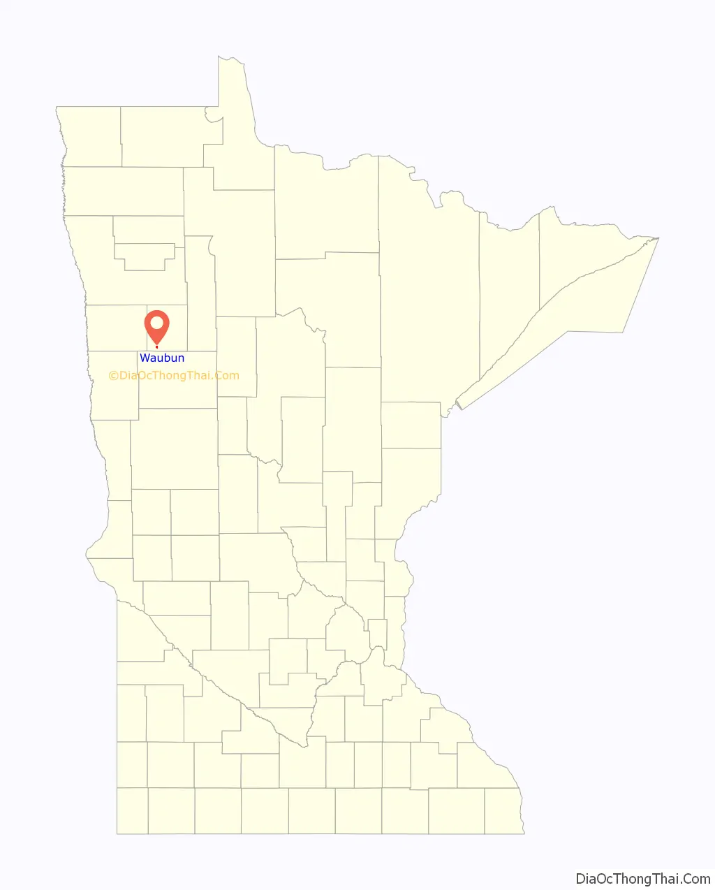
Waubun location map. Where is Waubun city?
History
The city was incorporated as a village on December 18, 1907. When the Soo Line built through the county in 1903–4, the general manager, Pennington, and his chief engineer, Thomas Green, named the stations as they moved the line north; all towns on the reservation had to have Native American names. The post office for this community was established in 1905 as Bement, changing to Waubun in 1906. The name Waubun comes from the Ojibwe word which means “the east,” “the morning,” “the twilight of dawn”, and “dawn of day.”
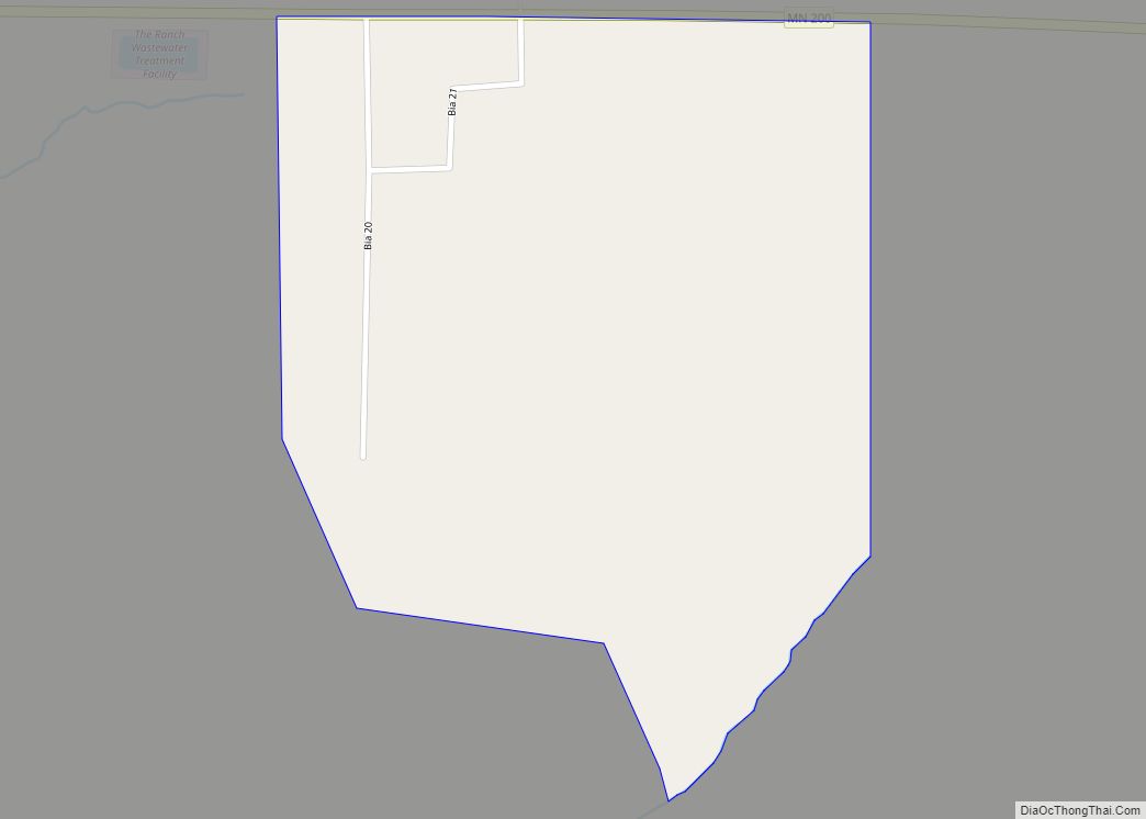
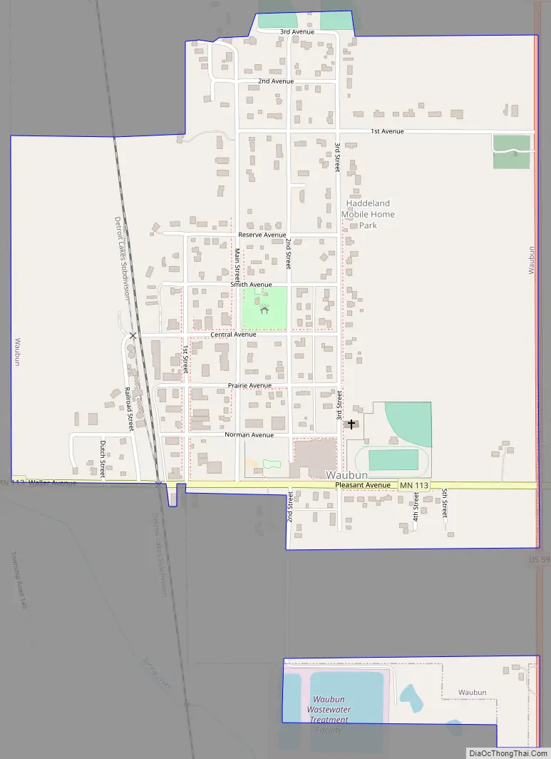
Waubun Road Map
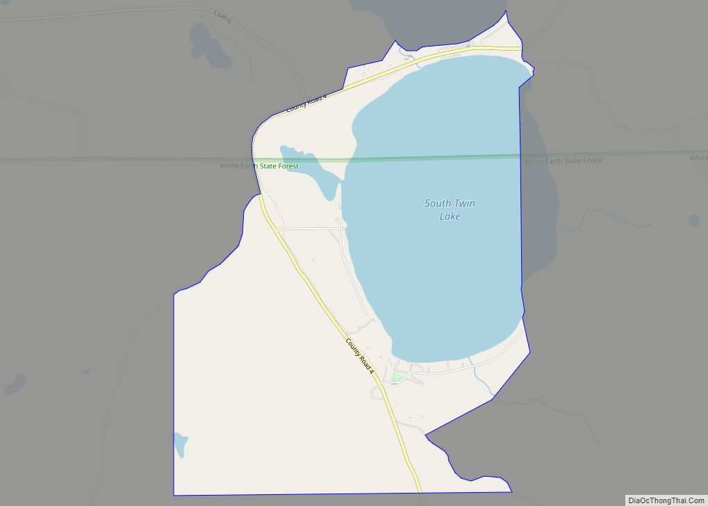
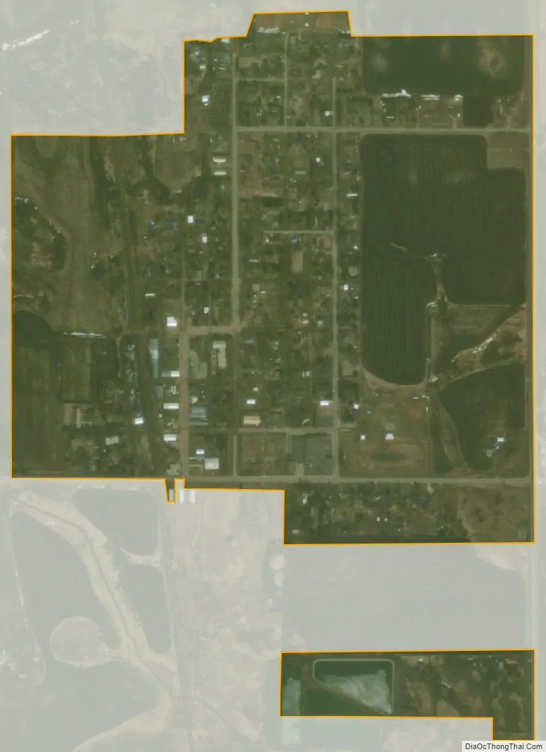
Waubun city Satellite Map
Geography
According to the United States Census Bureau, the city has a total area of 0.51 square miles (1.32 km), all of it land.
See also
Map of Minnesota State and its subdivision:- Aitkin
- Anoka
- Becker
- Beltrami
- Benton
- Big Stone
- Blue Earth
- Brown
- Carlton
- Carver
- Cass
- Chippewa
- Chisago
- Clay
- Clearwater
- Cook
- Cottonwood
- Crow Wing
- Dakota
- Dodge
- Douglas
- Faribault
- Fillmore
- Freeborn
- Goodhue
- Grant
- Hennepin
- Houston
- Hubbard
- Isanti
- Itasca
- Jackson
- Kanabec
- Kandiyohi
- Kittson
- Koochiching
- Lac qui Parle
- Lake
- Lake of the Woods
- Lake Superior
- Le Sueur
- Lincoln
- Lyon
- Mahnomen
- Marshall
- Martin
- McLeod
- Meeker
- Mille Lacs
- Morrison
- Mower
- Murray
- Nicollet
- Nobles
- Norman
- Olmsted
- Otter Tail
- Pennington
- Pine
- Pipestone
- Polk
- Pope
- Ramsey
- Red Lake
- Redwood
- Renville
- Rice
- Rock
- Roseau
- Saint Louis
- Scott
- Sherburne
- Sibley
- Stearns
- Steele
- Stevens
- Swift
- Todd
- Traverse
- Wabasha
- Wadena
- Waseca
- Washington
- Watonwan
- Wilkin
- Winona
- Wright
- Yellow Medicine
- Alabama
- Alaska
- Arizona
- Arkansas
- California
- Colorado
- Connecticut
- Delaware
- District of Columbia
- Florida
- Georgia
- Hawaii
- Idaho
- Illinois
- Indiana
- Iowa
- Kansas
- Kentucky
- Louisiana
- Maine
- Maryland
- Massachusetts
- Michigan
- Minnesota
- Mississippi
- Missouri
- Montana
- Nebraska
- Nevada
- New Hampshire
- New Jersey
- New Mexico
- New York
- North Carolina
- North Dakota
- Ohio
- Oklahoma
- Oregon
- Pennsylvania
- Rhode Island
- South Carolina
- South Dakota
- Tennessee
- Texas
- Utah
- Vermont
- Virginia
- Washington
- West Virginia
- Wisconsin
- Wyoming