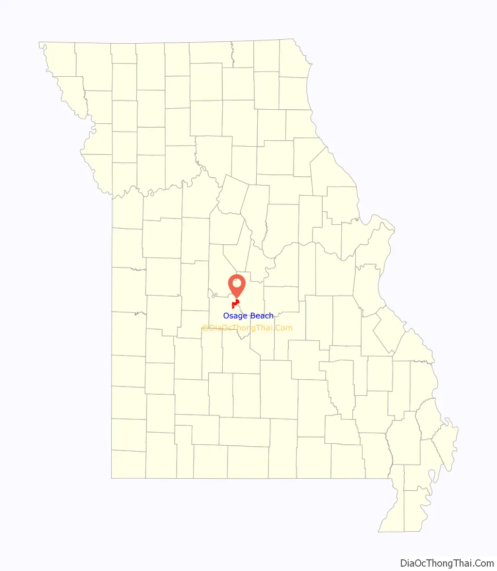
Osage Beach is a city in Camden and Miller counties in the U.S. state of Missouri. Most of the city is in Camden County, while a small eastern sliver is in Miller County. The population was 4,351 at the 2010 census.
| Name: | Osage Beach city |
|---|---|
| LSAD Code: | 25 |
| LSAD Description: | city (suffix) |
| State: | Missouri |
| County: | Camden County, Miller County |
| Founded: | 1886 (as Zebra) 1935 (as Osage Beach) |
| Incorporated: | 1959 |
| Elevation: | 656 ft (200 m) |
| Total Area: | 10.39 sq mi (26.92 km²) |
| Land Area: | 9.82 sq mi (25.44 km²) |
| Water Area: | 0.57 sq mi (1.48 km²) |
| Total Population: | 4,637 |
| Population Density: | 472.15/sq mi (182.29/km²) |
| ZIP code: | 65065 |
| Area code: | 573 |
| FIPS code: | 2955244 |
| GNISfeature ID: | 2396089 |
| Website: | http://www.osagebeach-mo.gov/ |
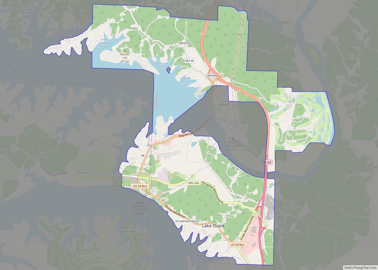
Online Interactive Map
Click on ![]() to view map in "full screen" mode.
to view map in "full screen" mode.
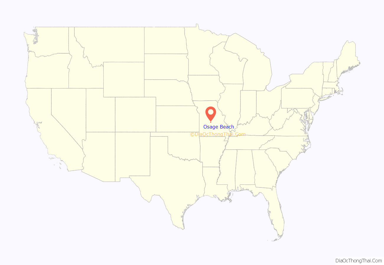
Osage Beach location map. Where is Osage Beach city?
History
Osage Beach was incorporated in 1959.
During the 2020 COVID-19 pandemic Osage Beach gained international notoriety when on Memorial Day (May 25, 2020) a large crowd congregated at Lake of the Ozarks. The mayor at the time, John Olivarri, stated that there had been “no way to control” the situation.
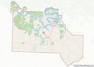
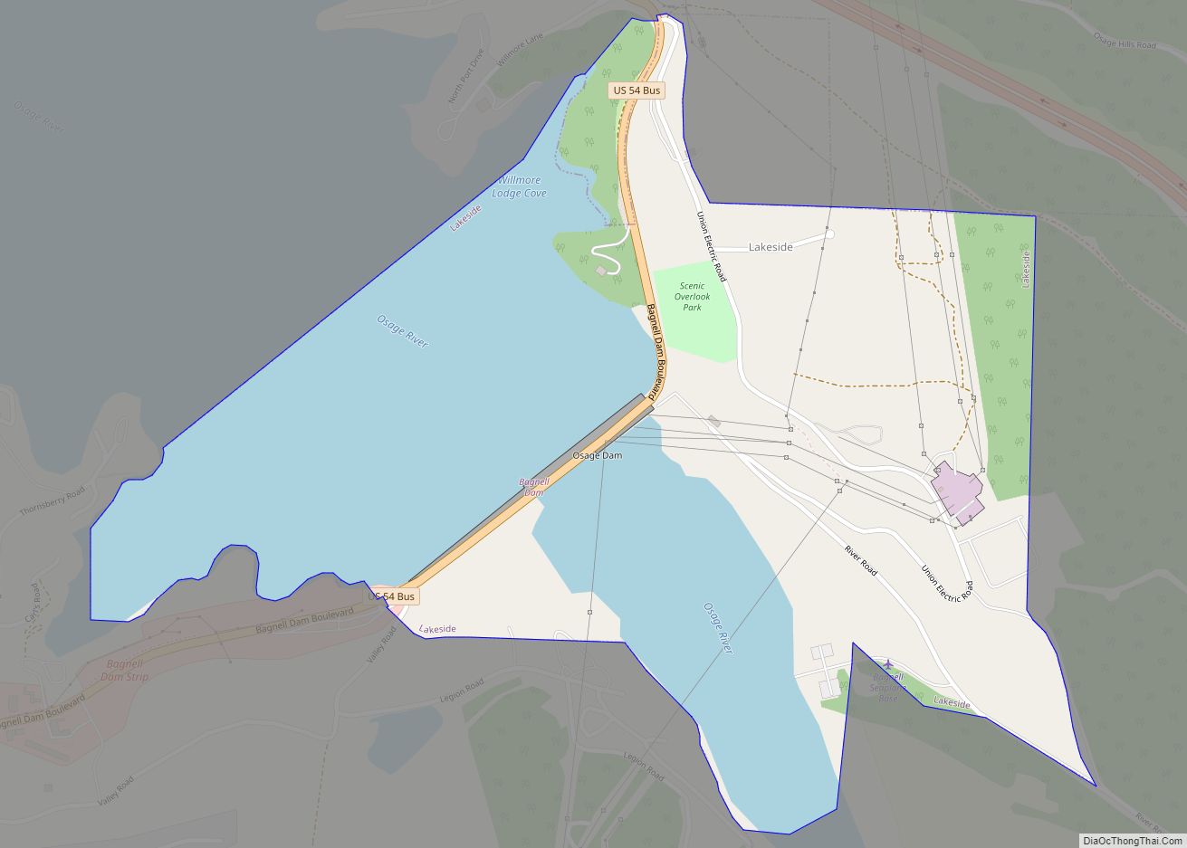
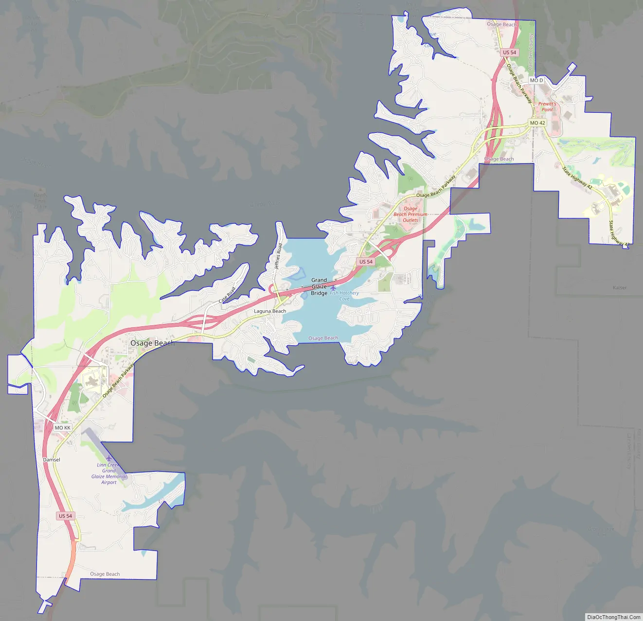
Osage Beach Road Map
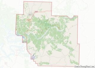
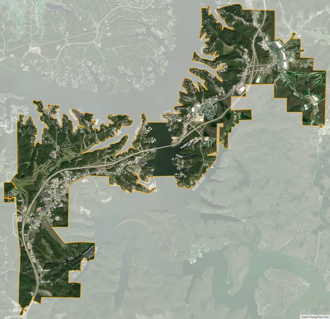
Osage Beach city Satellite Map
Geography
According to the United States Census Bureau, the city has a total area of 10.33 square miles (26.75 km), of which 9.75 square miles (25.25 km) is land and 0.58 square miles (1.50 km) is water. The city is located on the shores of the Lake of the Ozarks.
See also
Map of Missouri State and its subdivision:- Adair
- Andrew
- Atchison
- Audrain
- Barry
- Barton
- Bates
- Benton
- Bollinger
- Boone
- Buchanan
- Butler
- Caldwell
- Callaway
- Camden
- Cape Girardeau
- Carroll
- Carter
- Cass
- Cedar
- Chariton
- Christian
- Clark
- Clay
- Clinton
- Cole
- Cooper
- Crawford
- Dade
- Dallas
- Daviess
- De Kalb
- Dent
- Douglas
- Dunklin
- Franklin
- Gasconade
- Gentry
- Greene
- Grundy
- Harrison
- Henry
- Hickory
- Holt
- Howard
- Howell
- Iron
- Jackson
- Jasper
- Jefferson
- Johnson
- Knox
- Laclede
- Lafayette
- Lawrence
- Lewis
- Lincoln
- Linn
- Livingston
- Macon
- Madison
- Maries
- Marion
- McDonald
- Mercer
- Miller
- Mississippi
- Moniteau
- Monroe
- Montgomery
- Morgan
- New Madrid
- Newton
- Nodaway
- Oregon
- Osage
- Ozark
- Pemiscot
- Perry
- Pettis
- Phelps
- Pike
- Platte
- Polk
- Pulaski
- Putnam
- Ralls
- Randolph
- Ray
- Reynolds
- Ripley
- Saint Charles
- Saint Clair
- Saint Francois
- Saint Louis
- Sainte Genevieve
- Saline
- Schuyler
- Scotland
- Scott
- Shannon
- Shelby
- Stoddard
- Stone
- Sullivan
- Taney
- Texas
- Vernon
- Warren
- Washington
- Wayne
- Webster
- Worth
- Wright
- Alabama
- Alaska
- Arizona
- Arkansas
- California
- Colorado
- Connecticut
- Delaware
- District of Columbia
- Florida
- Georgia
- Hawaii
- Idaho
- Illinois
- Indiana
- Iowa
- Kansas
- Kentucky
- Louisiana
- Maine
- Maryland
- Massachusetts
- Michigan
- Minnesota
- Mississippi
- Missouri
- Montana
- Nebraska
- Nevada
- New Hampshire
- New Jersey
- New Mexico
- New York
- North Carolina
- North Dakota
- Ohio
- Oklahoma
- Oregon
- Pennsylvania
- Rhode Island
- South Carolina
- South Dakota
- Tennessee
- Texas
- Utah
- Vermont
- Virginia
- Washington
- West Virginia
- Wisconsin
- Wyoming