Waynesville is a city in and the county seat of Pulaski County, Missouri, United States. Its population was 5,406 at the 2020 census. Located in the heart of the Missouri Ozarks, it was one of the communities served by historic Route 66.
| Name: | Waynesville city |
|---|---|
| LSAD Code: | 25 |
| LSAD Description: | city (suffix) |
| State: | Missouri |
| County: | Pulaski County |
| Elevation: | 873 ft (266 m) |
| Total Area: | 7.18 sq mi (18.60 km²) |
| Land Area: | 7.15 sq mi (18.53 km²) |
| Water Area: | 0.03 sq mi (0.07 km²) |
| Total Population: | 5,406 |
| Population Density: | 755.77/sq mi (291.79/km²) |
| ZIP code: | 65583 |
| Area code: | 573 |
| FIPS code: | 2977992 |
| GNISfeature ID: | 2397234 |
| Website: | waynesvillemo.org |
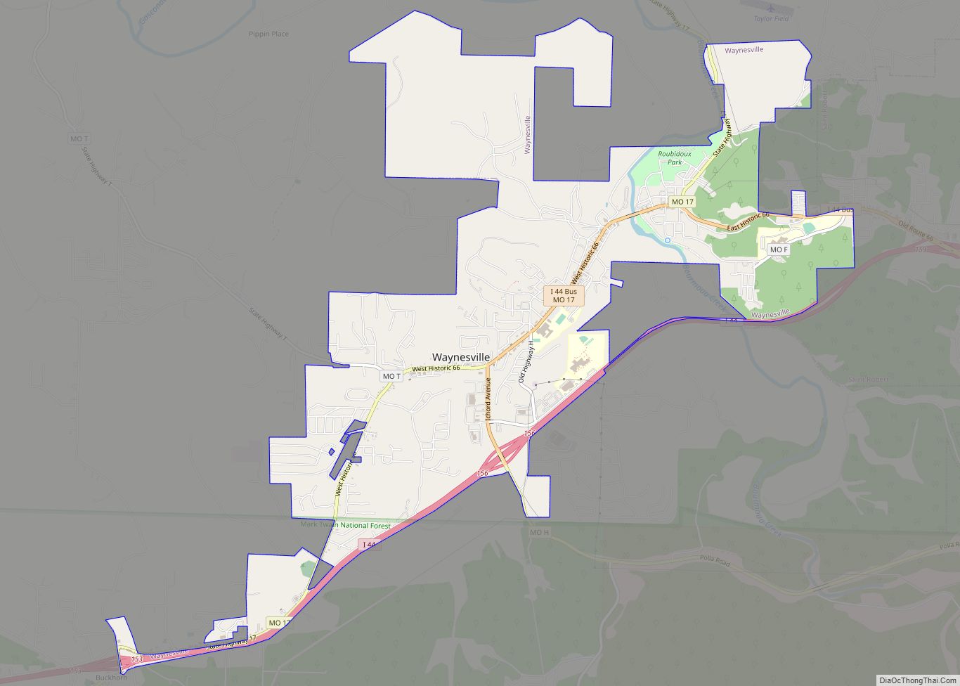
Online Interactive Map
Click on ![]() to view map in "full screen" mode.
to view map in "full screen" mode.
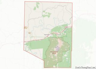
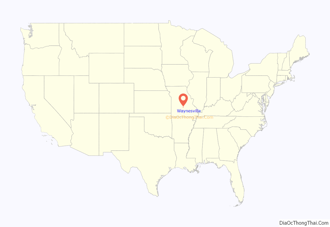
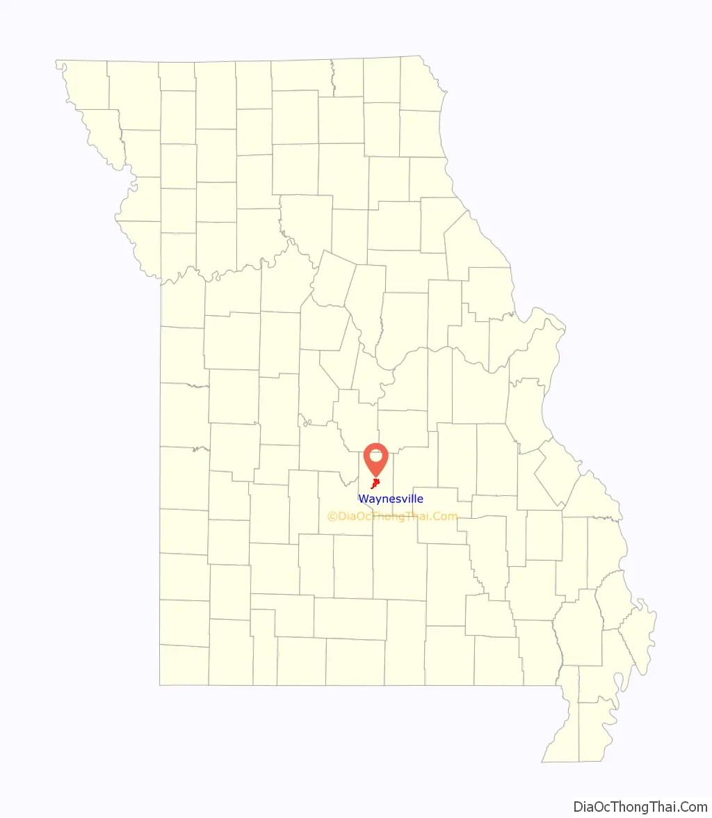
Waynesville location map. Where is Waynesville city?
History
Waynesville was platted in 1839. The city was named for Anthony Wayne. The post office in Waynesville has been in operation since 1834.
During the American Civil War, units of the 5th Missouri State Militia were sometimes garrisoned at Waynesville.
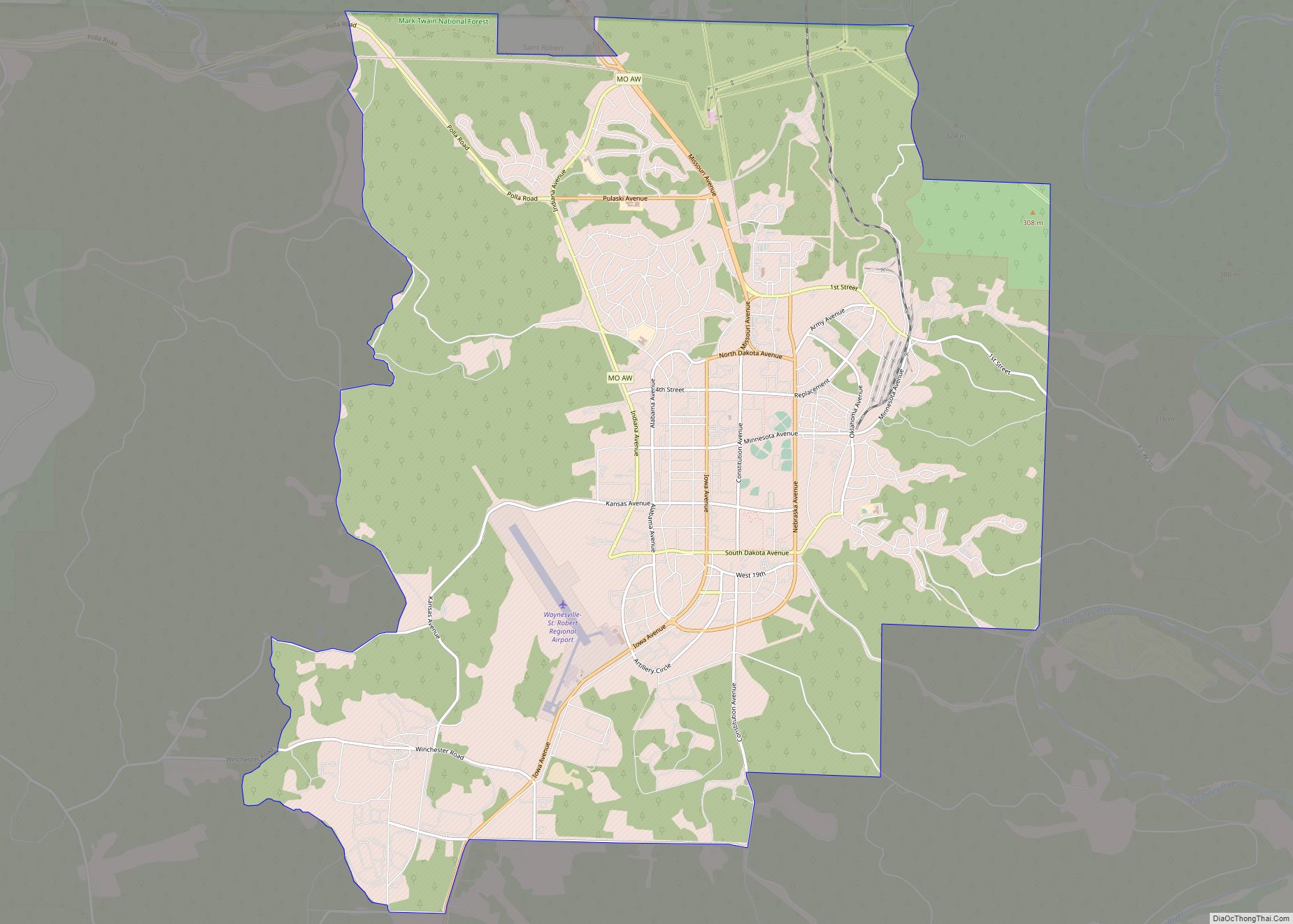
Waynesville Road Map

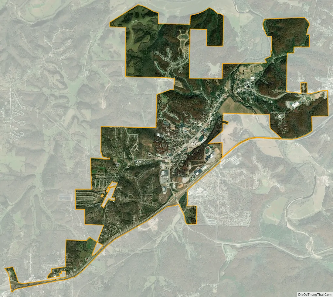
Waynesville city Satellite Map
Geography
Waynesville is located on Roubidoux Creek, approximately 2 miles (3.2 km) south of the Gasconade River. The northern boundary of Fort Leonard Wood is about 2 miles (3.2 km) to the south. The Roubidoux Spring, 15th largest in the state, is located in the city limits. The Roubidoux Spring was also a stop on the infamous Trail of Tears.
According to the United States Census Bureau, the city has a total area of 6.45 square miles (16.71 km), of which 6.42 square miles (16.63 km) is land and 0.03 square miles (0.08 km) is water.
See also
Map of Missouri State and its subdivision:- Adair
- Andrew
- Atchison
- Audrain
- Barry
- Barton
- Bates
- Benton
- Bollinger
- Boone
- Buchanan
- Butler
- Caldwell
- Callaway
- Camden
- Cape Girardeau
- Carroll
- Carter
- Cass
- Cedar
- Chariton
- Christian
- Clark
- Clay
- Clinton
- Cole
- Cooper
- Crawford
- Dade
- Dallas
- Daviess
- De Kalb
- Dent
- Douglas
- Dunklin
- Franklin
- Gasconade
- Gentry
- Greene
- Grundy
- Harrison
- Henry
- Hickory
- Holt
- Howard
- Howell
- Iron
- Jackson
- Jasper
- Jefferson
- Johnson
- Knox
- Laclede
- Lafayette
- Lawrence
- Lewis
- Lincoln
- Linn
- Livingston
- Macon
- Madison
- Maries
- Marion
- McDonald
- Mercer
- Miller
- Mississippi
- Moniteau
- Monroe
- Montgomery
- Morgan
- New Madrid
- Newton
- Nodaway
- Oregon
- Osage
- Ozark
- Pemiscot
- Perry
- Pettis
- Phelps
- Pike
- Platte
- Polk
- Pulaski
- Putnam
- Ralls
- Randolph
- Ray
- Reynolds
- Ripley
- Saint Charles
- Saint Clair
- Saint Francois
- Saint Louis
- Sainte Genevieve
- Saline
- Schuyler
- Scotland
- Scott
- Shannon
- Shelby
- Stoddard
- Stone
- Sullivan
- Taney
- Texas
- Vernon
- Warren
- Washington
- Wayne
- Webster
- Worth
- Wright
- Alabama
- Alaska
- Arizona
- Arkansas
- California
- Colorado
- Connecticut
- Delaware
- District of Columbia
- Florida
- Georgia
- Hawaii
- Idaho
- Illinois
- Indiana
- Iowa
- Kansas
- Kentucky
- Louisiana
- Maine
- Maryland
- Massachusetts
- Michigan
- Minnesota
- Mississippi
- Missouri
- Montana
- Nebraska
- Nevada
- New Hampshire
- New Jersey
- New Mexico
- New York
- North Carolina
- North Dakota
- Ohio
- Oklahoma
- Oregon
- Pennsylvania
- Rhode Island
- South Carolina
- South Dakota
- Tennessee
- Texas
- Utah
- Vermont
- Virginia
- Washington
- West Virginia
- Wisconsin
- Wyoming