Morehead City is a port town in Carteret County, North Carolina, United States. The population was 8,661 at the 2010 census. Morehead City celebrated the 150th anniversary of its founding on May 5, 2007. It forms part of the Crystal Coast.
| Name: | Morehead City town |
|---|---|
| LSAD Code: | 43 |
| LSAD Description: | town (suffix) |
| State: | North Carolina |
| County: | Carteret County |
| Elevation: | 16 ft (5 m) |
| Total Area: | 10.57 sq mi (27.39 km²) |
| Land Area: | 7.41 sq mi (19.18 km²) |
| Water Area: | 3.17 sq mi (8.21 km²) |
| Total Population: | 9,556 |
| Population Density: | 1,290.13/sq mi (498.13/km²) |
| ZIP code: | 28557 |
| Area code: | 252 |
| FIPS code: | 3744320 |
| GNISfeature ID: | 1013689 |
| Website: | moreheadcitync.org |
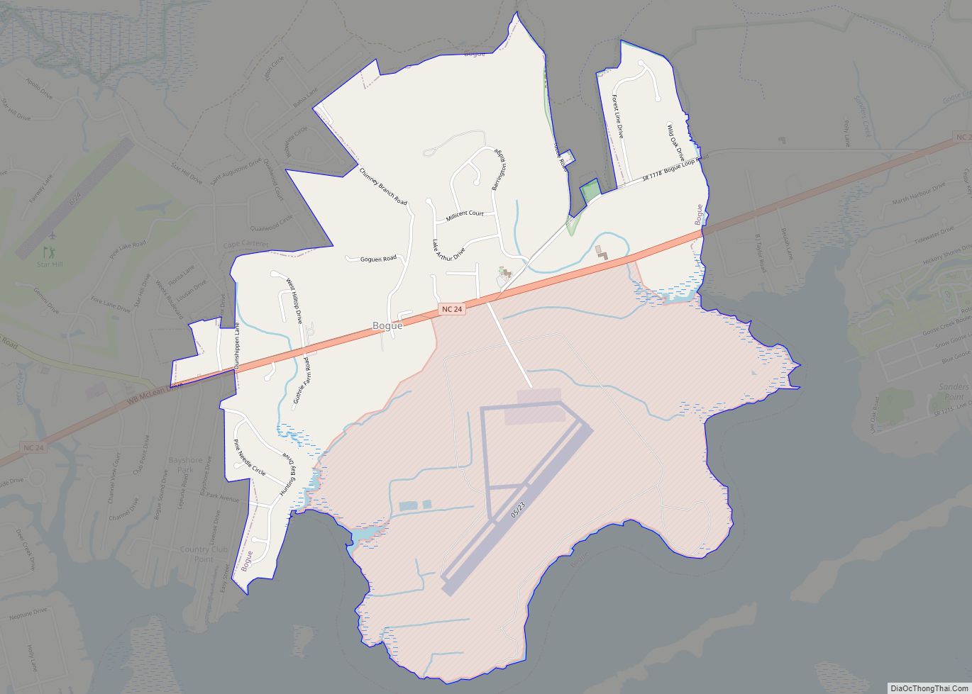
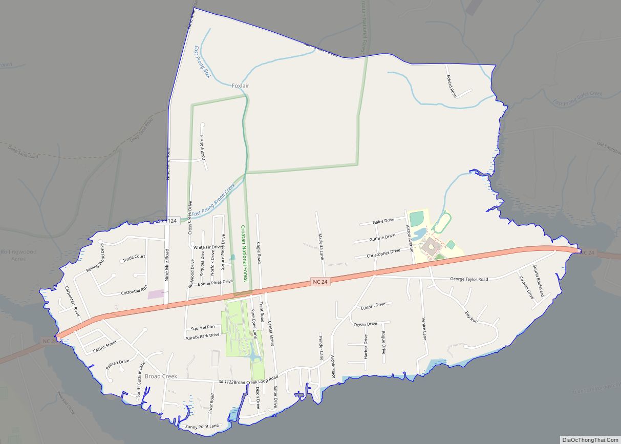
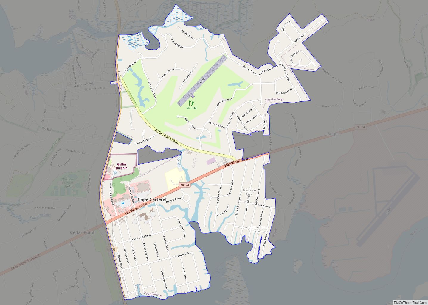
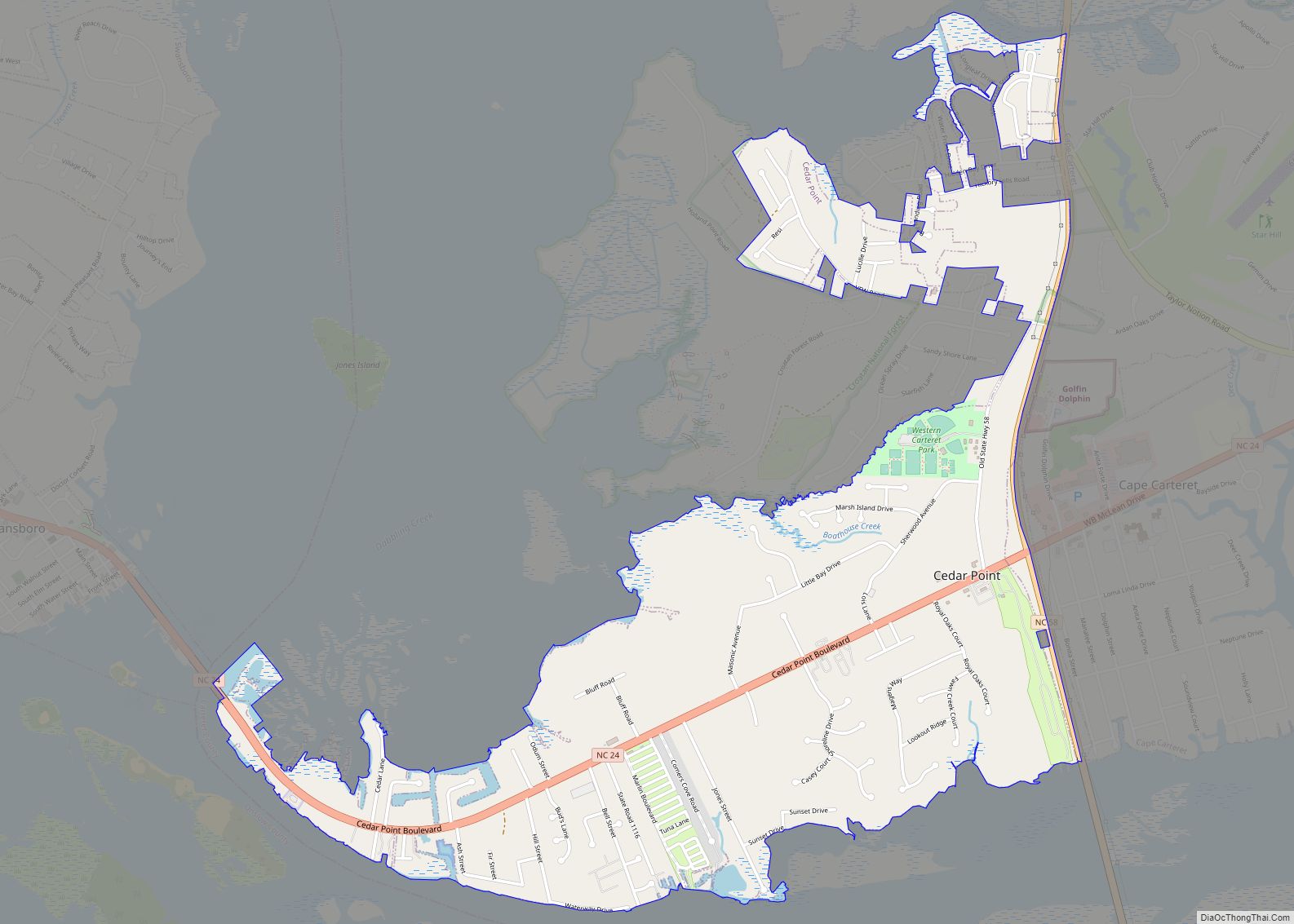
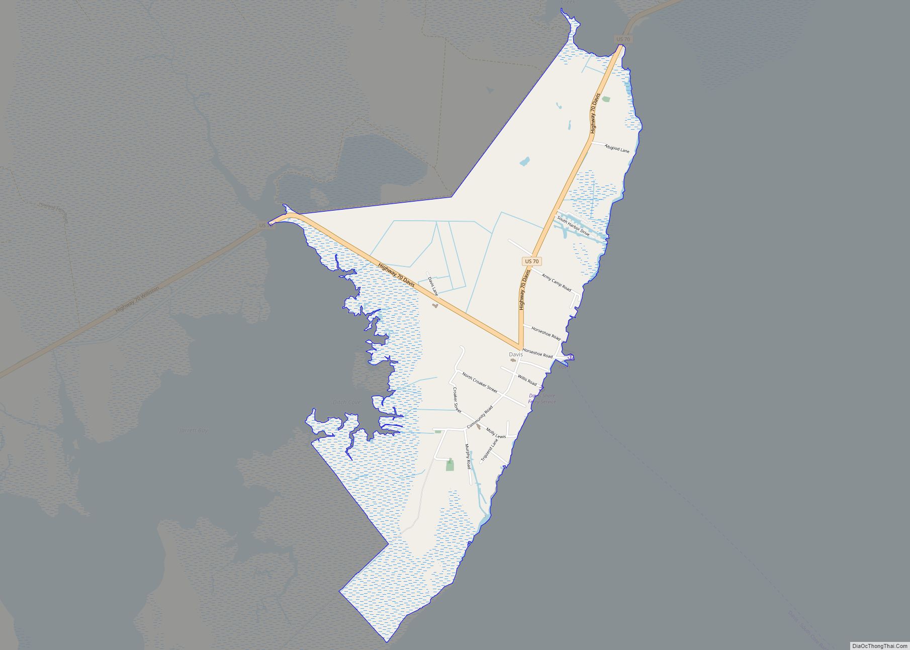
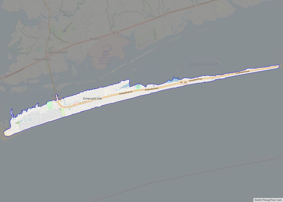
Online Interactive Map
Click on ![]() to view map in "full screen" mode.
to view map in "full screen" mode.
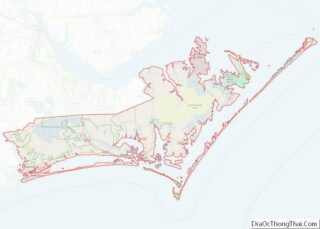
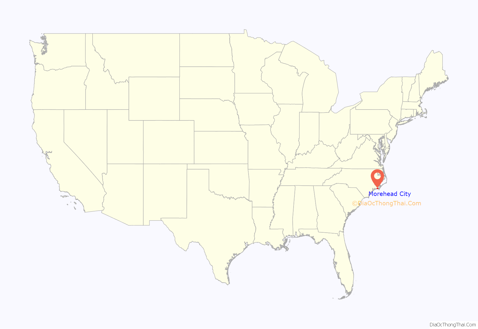
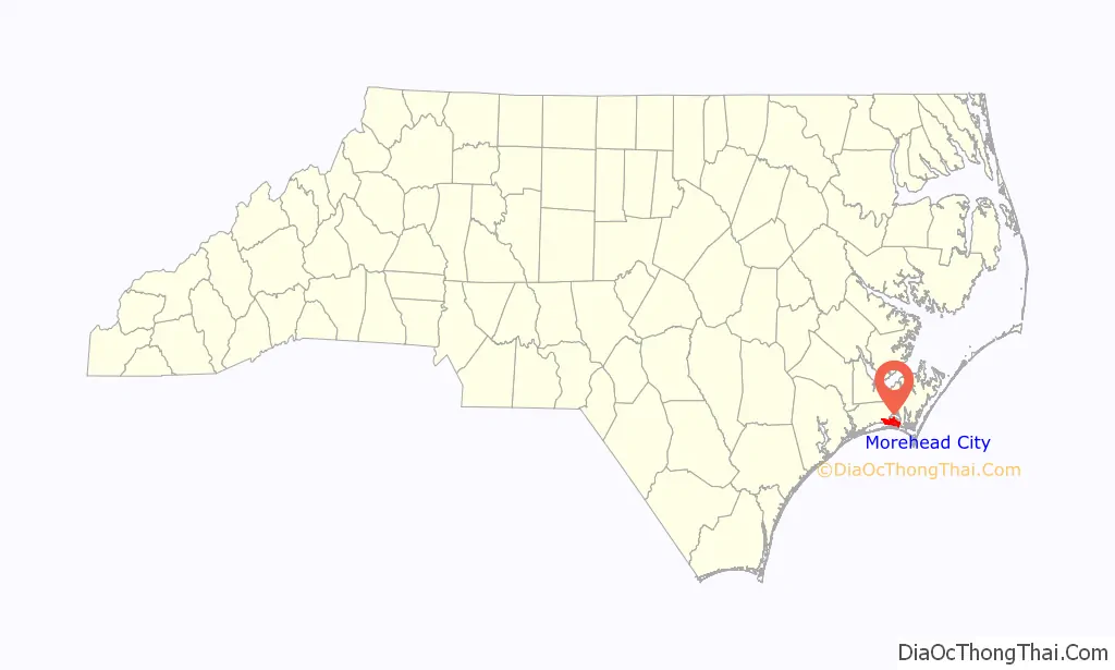
Morehead City location map. Where is Morehead City town?
History
By the early 1850s, a group of investors had been formed and incorporated a land development project known as the “Shepard Point Land Company,” which purchased 600 acres (2.4 km) of land on the eastern tip of the peninsula bordering the Newport River, known then as “Shepards Point,” which is the present location of Morehead City. The Shepard Point Land Company’s objective was to take advantage of the natural deep channel of Topsail Inlet, known today as the Beaufort Inlet, which splits Bogue Banks from Shackleford Banks and provides access to Morehead City, Beaufort, North Carolina, the Newport River and the Intracoastal Waterway. The Shepard Point Land Company was established to construct a deepwater port to allow another access point for North Carolina timber products to relieve pressure at the port located in Wilmington. To make the port accessible to the interior of North Carolina, the Atlantic and North Carolina Railroad line between Goldsboro and New Bern was completed on April 29, 1858.
North Carolina Governor John Motley Morehead, for whom the city of Morehead City is named, was a principal member of the Shepard Point Land Company investment group. Fully operational rail service began in July 1858 connecting the town to points west, north, and south.
The town of Morehead City was laid out using a grid plan, whereby city blocks were equally laid out with each block consisting of 16 equally divided lots. The city blocks stretched from 1st Street to 15th Street, incorporating a system of alleys forming an “H” shape that enabled businesses and residential homes to be served from the alleys behind them.
Morehead City was officially incorporated by the North Carolina Senate in 1860, at which time the total number of households consisted of only 300 individual families.
The town continued to prosper until the Civil War, when in 1862 it was occupied by Federal troops. The war disrupted commerce, and the economy of the port declined along with the town’s population. It was not until the 1880s, with the construction of the Atlantic Hotel at the tip of the peninsula and its promotion by the railroad as the “Summer Capital by the Sea,” that the area began to experience a resurgence. The popularity of this particular hotel, with its train depot entrance, grand ballroom, piers, sailing, and ferries to the beaches of Bogue Banks, helped to establish Morehead City as a summer destination.
It was also during the 1880s and 1890s that fishermen who had lived on the island of Shackleford Banks moved on to the mainland (often transporting their houses by boat from the outer banks), settling in the areas between 10th and 15th streets and calling it the Promised Land. These fishermen became the nucleus of the fishing industry that has remained an important part of the town’s economy.
The Great Depression and World War II markedly altered the character of the town. The traditional downtown area had deteriorated and, as newer stores opened further west, the decay in the old center of town accelerated. Finally, in the 1980s, a renewal began when the town obtained a Community Development Block Grant to replace an aging infrastructure and improve the appearance of the waterfront area. Subsequent grants, private investment, and town monies have maintained the forward momentum, so that the town now has a new sea wall, underground utilities, brick paved walkways with planters along the waterfront, all in the downtown area, and tree-lined streets, renovated houses, new docks and new businesses.
The Morehead City Historic District and Morehead City Municipal Building are listed on the National Register of Historic Places.
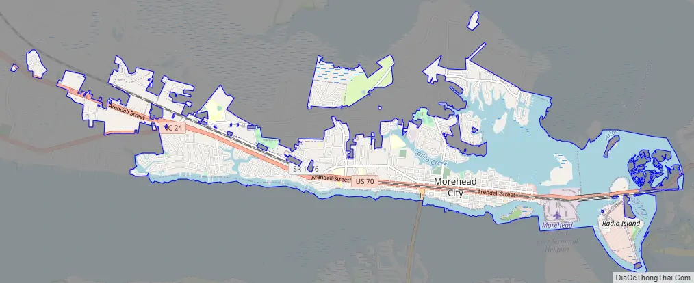
Morehead City Road Map
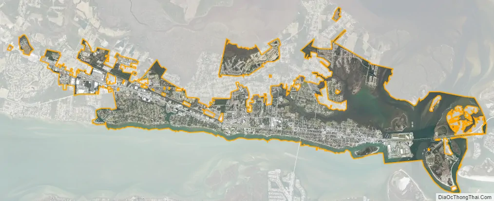
Morehead City city Satellite Map
Geography
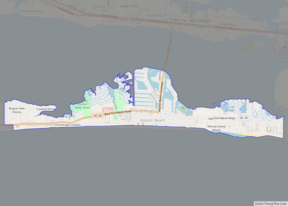
Morehead City is located southwest of the center of Carteret County at 34°43′40″N 76°44′48″W / 34.72778°N 76.74667°W / 34.72778; -76.74667 (34.727700, -76.746748). It occupies a peninsula bordered to the south by Bogue Sound and to the north and east by the tidal Newport River. Across the river to the east is the town of Beaufort, while to the south across Bogue Sound is Atlantic Beach.
According to the United States Census Bureau, Morehead City has a total area of 8.5 square miles (22.1 km), of which 6.8 square miles (17.7 km) is land and 1.7 square miles (4.3 km), or 19.55%, is water.
See also
Map of North Carolina State and its subdivision:- Alamance
- Alexander
- Alleghany
- Anson
- Ashe
- Avery
- Beaufort
- Bertie
- Bladen
- Brunswick
- Buncombe
- Burke
- Cabarrus
- Caldwell
- Camden
- Carteret
- Caswell
- Catawba
- Chatham
- Cherokee
- Chowan
- Clay
- Cleveland
- Columbus
- Craven
- Cumberland
- Currituck
- Dare
- Davidson
- Davie
- Duplin
- Durham
- Edgecombe
- Forsyth
- Franklin
- Gaston
- Gates
- Graham
- Granville
- Greene
- Guilford
- Halifax
- Harnett
- Haywood
- Henderson
- Hertford
- Hoke
- Hyde
- Iredell
- Jackson
- Johnston
- Jones
- Lee
- Lenoir
- Lincoln
- Macon
- Madison
- Martin
- McDowell
- Mecklenburg
- Mitchell
- Montgomery
- Moore
- Nash
- New Hanover
- Northampton
- Onslow
- Orange
- Pamlico
- Pasquotank
- Pender
- Perquimans
- Person
- Pitt
- Polk
- Randolph
- Richmond
- Robeson
- Rockingham
- Rowan
- Rutherford
- Sampson
- Scotland
- Stanly
- Stokes
- Surry
- Swain
- Transylvania
- Tyrrell
- Union
- Vance
- Wake
- Warren
- Washington
- Watauga
- Wayne
- Wilkes
- Wilson
- Yadkin
- Yancey
- Alabama
- Alaska
- Arizona
- Arkansas
- California
- Colorado
- Connecticut
- Delaware
- District of Columbia
- Florida
- Georgia
- Hawaii
- Idaho
- Illinois
- Indiana
- Iowa
- Kansas
- Kentucky
- Louisiana
- Maine
- Maryland
- Massachusetts
- Michigan
- Minnesota
- Mississippi
- Missouri
- Montana
- Nebraska
- Nevada
- New Hampshire
- New Jersey
- New Mexico
- New York
- North Carolina
- North Dakota
- Ohio
- Oklahoma
- Oregon
- Pennsylvania
- Rhode Island
- South Carolina
- South Dakota
- Tennessee
- Texas
- Utah
- Vermont
- Virginia
- Washington
- West Virginia
- Wisconsin
- Wyoming