Armonk is a hamlet and census-designated place (CDP) in the town of North Castle, located in Westchester County, New York, United States. The corporate headquarters of IBM are located in Armonk.
| Name: | Armonk CDP |
|---|---|
| LSAD Code: | 57 |
| LSAD Description: | CDP (suffix) |
| State: | New York |
| County: | Westchester County |
| Elevation: | 387 ft (118 m) |
| Total Area: | 6.03 sq mi (15.61 km²) |
| Land Area: | 5.93 sq mi (15.37 km²) |
| Water Area: | 0.09 sq mi (0.24 km²) |
| Total Population: | 4,495 |
| Population Density: | 757.50/sq mi (292.49/km²) |
| ZIP code: | 10504 |
| Area code: | 914 |
| FIPS code: | 3602649 |
| GNISfeature ID: | 0942567 |
| Website: | www.northcastleny.com |
Online Interactive Map
Click on ![]() to view map in "full screen" mode.
to view map in "full screen" mode.
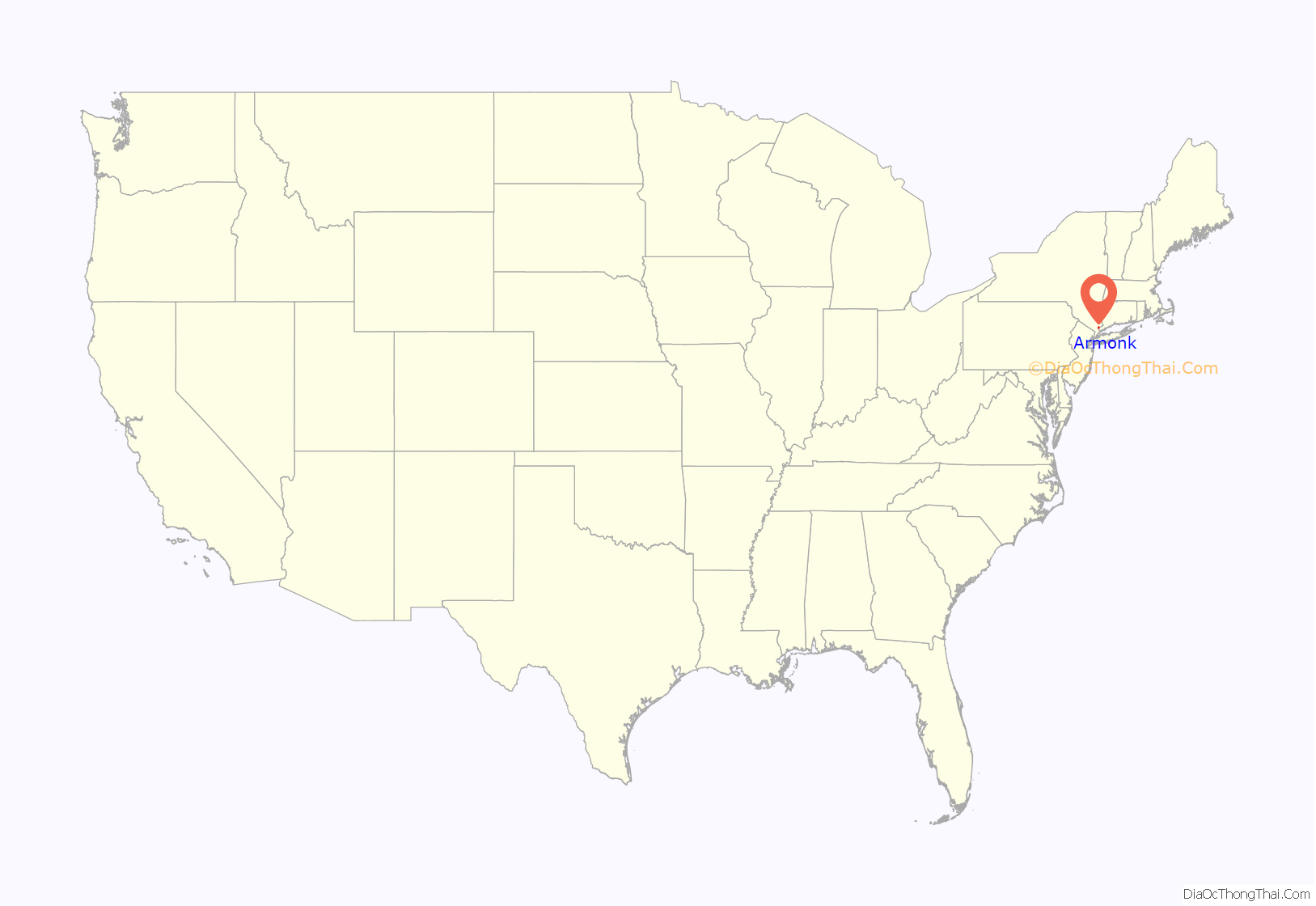
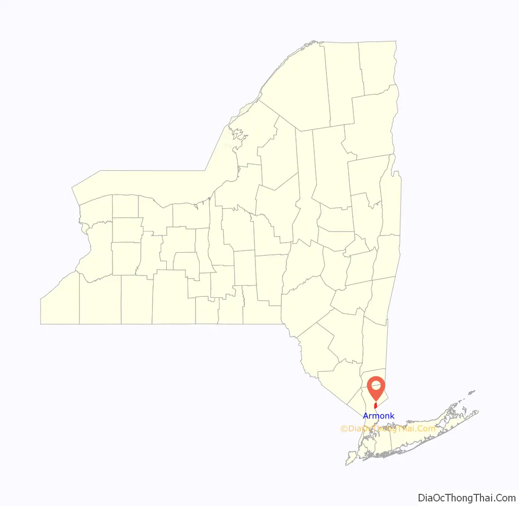
Armonk location map. Where is Armonk CDP?
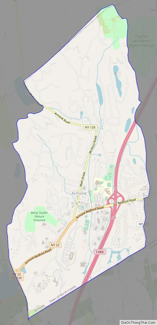
Armonk Road Map
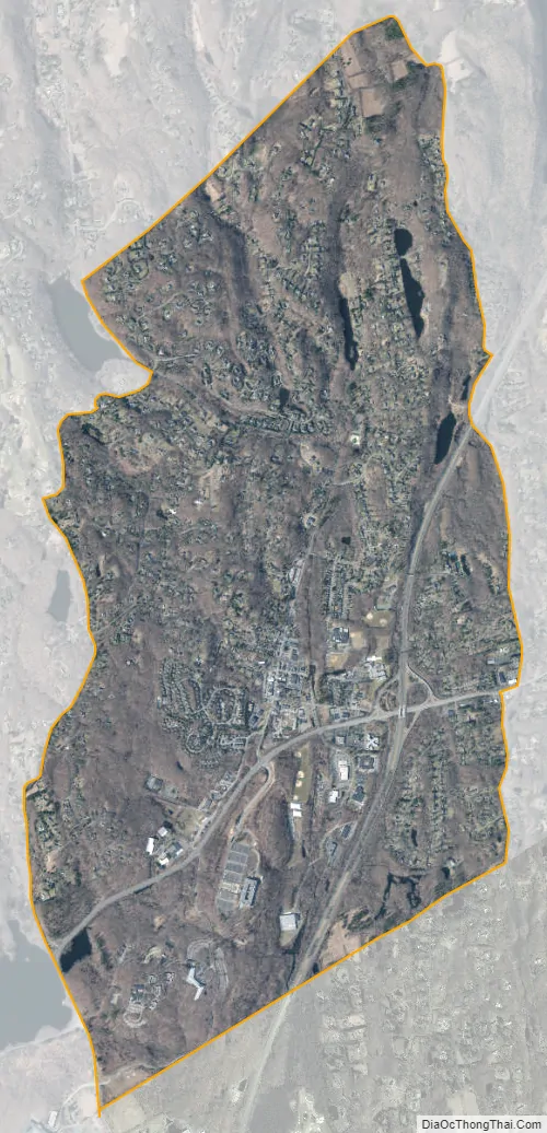
Armonk city Satellite Map
Geography
As of the 2010 census, Armonk’s CDP population was 4,330 and it has a total area of 6.1 square miles (15.7 km), of which 6.0 square miles (15.5 km) is land and 0.077 square miles (0.2 km), or 1.54 percent, is water.
Situated 11 miles from the coast in the southeastern corner of New York, Armonk shares a border with Connecticut. The landscape is hilly and forested, with a mean elevation of 387 feet, and is home to the highest point in Westchester County with an elevation of 1,396 feet.
Armonk has a humid subtropical climate (Type Cfa) with cold, wet winters with occasional snow and hot, humid summers. Precipitation is plentiful, with the winter months receiving more precipitation than the summer months. Snowfall varies a lot from year to year, some years seeing just a few inches while others may see upwards of 35 inches, but the average snowfall is 28 inches. Winter precipitation comes mainly in the form of coastal storms that bring rain, snow and wind to New England and the Mid-Atlantic. Summer brings mostly stable, hot weather with 18 days per summer reaching 90º. Summer is relatively dry, with scattered thunderstorms and the risk of a rare tropical storm in August and September. Spring and fall are transition seasons with moderate temperatures and moderate precipitation.
See also
Map of New York State and its subdivision:- Albany
- Allegany
- Bronx
- Broome
- Cattaraugus
- Cayuga
- Chautauqua
- Chemung
- Chenango
- Clinton
- Columbia
- Cortland
- Delaware
- Dutchess
- Erie
- Essex
- Franklin
- Fulton
- Genesee
- Greene
- Hamilton
- Herkimer
- Jefferson
- Kings
- Lake Ontario
- Lewis
- Livingston
- Madison
- Monroe
- Montgomery
- Nassau
- New York
- Niagara
- Oneida
- Onondaga
- Ontario
- Orange
- Orleans
- Oswego
- Otsego
- Putnam
- Queens
- Rensselaer
- Richmond
- Rockland
- Saint Lawrence
- Saratoga
- Schenectady
- Schoharie
- Schuyler
- Seneca
- Steuben
- Suffolk
- Sullivan
- Tioga
- Tompkins
- Ulster
- Warren
- Washington
- Wayne
- Westchester
- Wyoming
- Yates
- Alabama
- Alaska
- Arizona
- Arkansas
- California
- Colorado
- Connecticut
- Delaware
- District of Columbia
- Florida
- Georgia
- Hawaii
- Idaho
- Illinois
- Indiana
- Iowa
- Kansas
- Kentucky
- Louisiana
- Maine
- Maryland
- Massachusetts
- Michigan
- Minnesota
- Mississippi
- Missouri
- Montana
- Nebraska
- Nevada
- New Hampshire
- New Jersey
- New Mexico
- New York
- North Carolina
- North Dakota
- Ohio
- Oklahoma
- Oregon
- Pennsylvania
- Rhode Island
- South Carolina
- South Dakota
- Tennessee
- Texas
- Utah
- Vermont
- Virginia
- Washington
- West Virginia
- Wisconsin
- Wyoming


