Bethpage (formerly known as Central Park) is a hamlet and census-designated place (CDP) located within the Town of Oyster Bay in Nassau County, on Long Island, in New York, United States. The population was 16,429 at the 2010 United States Census.
| Name: | Bethpage CDP |
|---|---|
| LSAD Code: | 57 |
| LSAD Description: | CDP (suffix) |
| State: | New York |
| County: | Nassau County |
| Elevation: | 105 ft (32 m) |
| Total Area: | 3.58 sq mi (9.26 km²) |
| Land Area: | 3.58 sq mi (9.26 km²) |
| Water Area: | 0.00 sq mi (0.00 km²) |
| Total Population: | 16,658 |
| Population Density: | 4,658.28/sq mi (1,798.67/km²) |
| ZIP code: | 11714 |
| Area code: | 516 |
| FIPS code: | 3606387 |
| GNISfeature ID: | 0943803 |
Online Interactive Map
Click on ![]() to view map in "full screen" mode.
to view map in "full screen" mode.
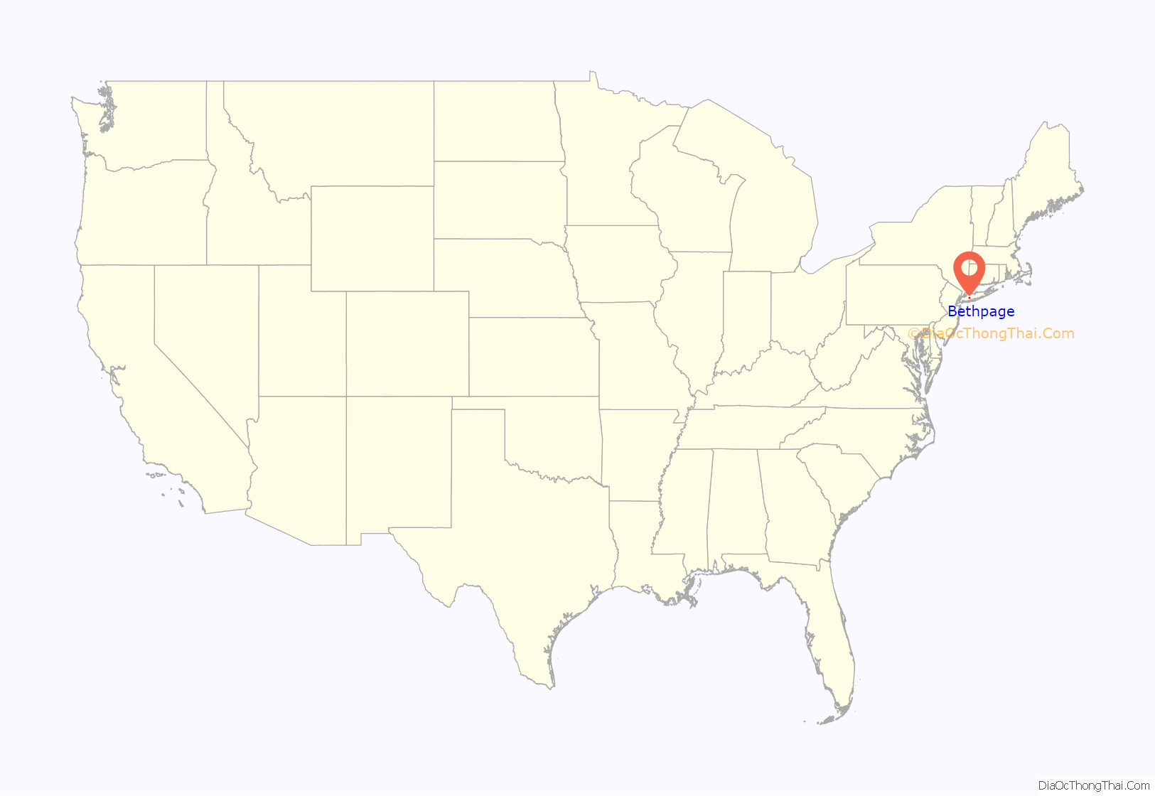
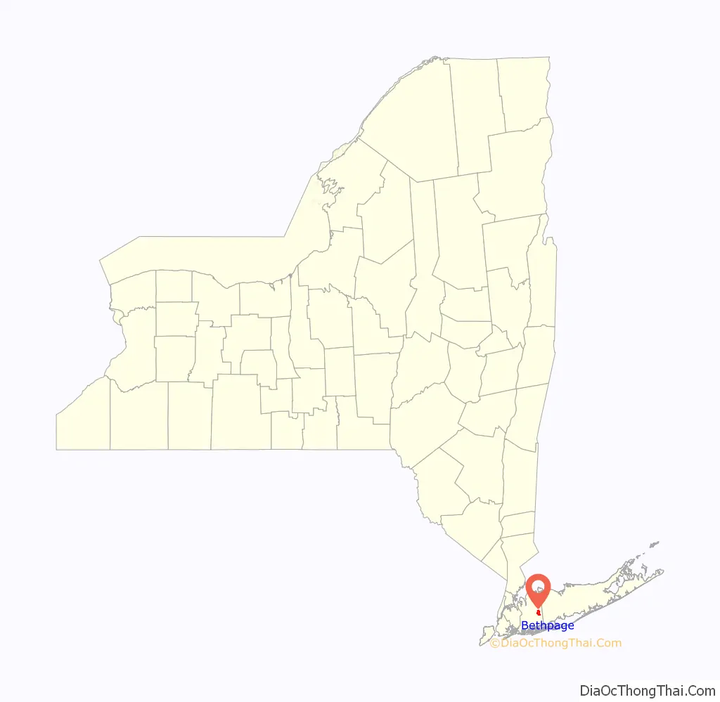
Bethpage location map. Where is Bethpage CDP?
History
The name Bethpage comes from the Quaker Thomas Powell, who named the area after the Biblical town Bethphage, which was between Jericho and Jerusalem in the Holy Land. Present-day Bethpage was part of the 1695 Bethpage Purchase. An early name for the northern section of present-day Bethpage was Bedelltown, a name that appeared on maps at least as late as 1906.
On maps just before the arrival of the Long Island Rail Road (LIRR), the name Bethpage appears for a community now included in both the post office district and school district of the adjacent community of Farmingdale. In 1841, train service began to Farmingdale station, near a new settlement less than a mile eastward from what had previously appeared on maps as Bethpage. Schedules at that time do not mention Bethpage as a stop, but have a notation “late Bethpage”. On an 1855 map, the location identified as Bethpage has shifted slightly westward to include a nearby area now called Plainedge.
Between 1851 and 1854, the LIRR initiated a stop within present-day Bethpage at a station then called Jerusalem Station, and on January 29, 1857, a local post office opened, also named Jerusalem Station. LIRR schedules listed the station also as simply Jerusalem. Residents succeeded in changing the name of the post office to Central Park, effective March 1, 1867 (respelled as Centralpark from 1895 to 1899). The Central Park Fire Company was organized in April 1910, and incorporated in May 1911. In May 1923 the Central Park Water District was created.
Following the 1932 opening of nearby Bethpage State Park, the name of the local post office was changed to Bethpage on October 1, 1936. The LIRR station was also renamed Bethpage station. The name Bethpage was, however, already in use by an adjacent community, which resisted suggestions of a merger and instead renamed itself Old Bethpage. The change from Central Park to Bethpage was one of the last complete name changes of Nassau County’s post offices.
From 1936 until 1994, Bethpage was home to the Grumman Aircraft Engineering Corporation, which made, among other things, the F-14 Tomcat, the Navy version of the General Dynamics F-111 Aardvark and the Apollo Lunar Excursion Module (LEM) for moon landings, and for this reason Bethpage is mentioned in the film Apollo 13. Grumman was made famous by the performance of its F4F Wildcat fighter aircraft and its successor the F6F Hellcat, which shot down 5,223 enemy aircraft, more than any other naval aircraft. In 1994, Grumman was purchased by Northrop and formed Northrop Grumman. Although no longer headquartered in Bethpage, the company still retains operations there.
The Naval Weapons Industrial Reserve Plant, Bethpage (NWIRP) started operations in 1942, west of the Grumman site.
Altice USA (f/k/a Cablevision), is headquartered in Grumman’s former main office.
In August 2015, a small airplane with engine trouble failed to reach Farmingdale airport, and was redirected to “Bethpage Airport” by the air traffic controller. However, the pilot could not find that airport because it was closed and had buildings on it, and the plane crashed on LIRR tracks.
Superfund site
Bethpage’s history as a space and aviation center has left heavy metals, toxic waste, and radioactive byproducts dumped into the surrounding ground and leeching into the water. Bethpage as of 2012 has been declared a class 2 Superfund site. The rate of cancers and birth defects in Bethpage is statistically well above the national average, which many attribute to the polluted soil and ground water. Bethpage residents have taken action by filing a $500 million lawsuit against Grumman.
Bethpage Road Map
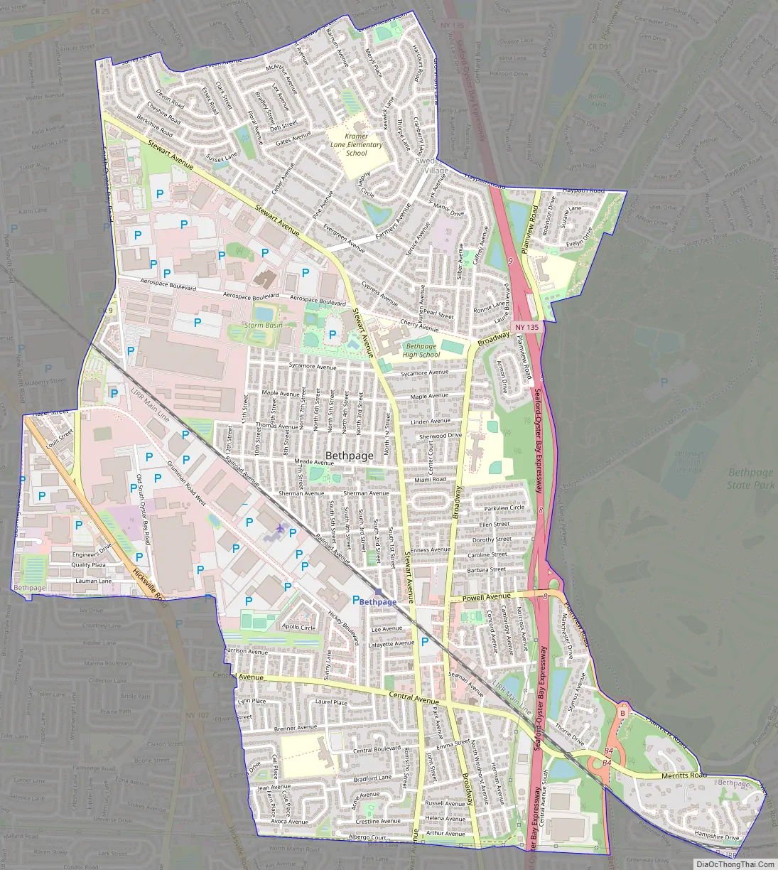
Bethpage city Satellite Map

Geography
According to the United States Census Bureau, the CDP, or Census Designated Place, has a total area of 3.6 square miles (9.3 km), all land. For the 2000 Census, the boundaries of the CDP were adjusted compared to those of the 1990 census, with some territory gained and some lost.
The area is served by the Bethpage Post Office, ZIP code 11714, whose boundaries are slightly different from that of the CDP. The area is also served by Bethpage Union Free School District, Island Trees Union Free School District, Plainedge Union Free School District, and Hicksville Union Free School District, the boundaries of which include parts of some surrounding hamlets, including parts of Old Bethpage, Plainview, and Plainedge. The Town of Hempstead, on its website, includes a small part of Bethpage hamlet that is in the Levittown census-designated place.
See also
Map of New York State and its subdivision:- Albany
- Allegany
- Bronx
- Broome
- Cattaraugus
- Cayuga
- Chautauqua
- Chemung
- Chenango
- Clinton
- Columbia
- Cortland
- Delaware
- Dutchess
- Erie
- Essex
- Franklin
- Fulton
- Genesee
- Greene
- Hamilton
- Herkimer
- Jefferson
- Kings
- Lake Ontario
- Lewis
- Livingston
- Madison
- Monroe
- Montgomery
- Nassau
- New York
- Niagara
- Oneida
- Onondaga
- Ontario
- Orange
- Orleans
- Oswego
- Otsego
- Putnam
- Queens
- Rensselaer
- Richmond
- Rockland
- Saint Lawrence
- Saratoga
- Schenectady
- Schoharie
- Schuyler
- Seneca
- Steuben
- Suffolk
- Sullivan
- Tioga
- Tompkins
- Ulster
- Warren
- Washington
- Wayne
- Westchester
- Wyoming
- Yates
- Alabama
- Alaska
- Arizona
- Arkansas
- California
- Colorado
- Connecticut
- Delaware
- District of Columbia
- Florida
- Georgia
- Hawaii
- Idaho
- Illinois
- Indiana
- Iowa
- Kansas
- Kentucky
- Louisiana
- Maine
- Maryland
- Massachusetts
- Michigan
- Minnesota
- Mississippi
- Missouri
- Montana
- Nebraska
- Nevada
- New Hampshire
- New Jersey
- New Mexico
- New York
- North Carolina
- North Dakota
- Ohio
- Oklahoma
- Oregon
- Pennsylvania
- Rhode Island
- South Carolina
- South Dakota
- Tennessee
- Texas
- Utah
- Vermont
- Virginia
- Washington
- West Virginia
- Wisconsin
- Wyoming


