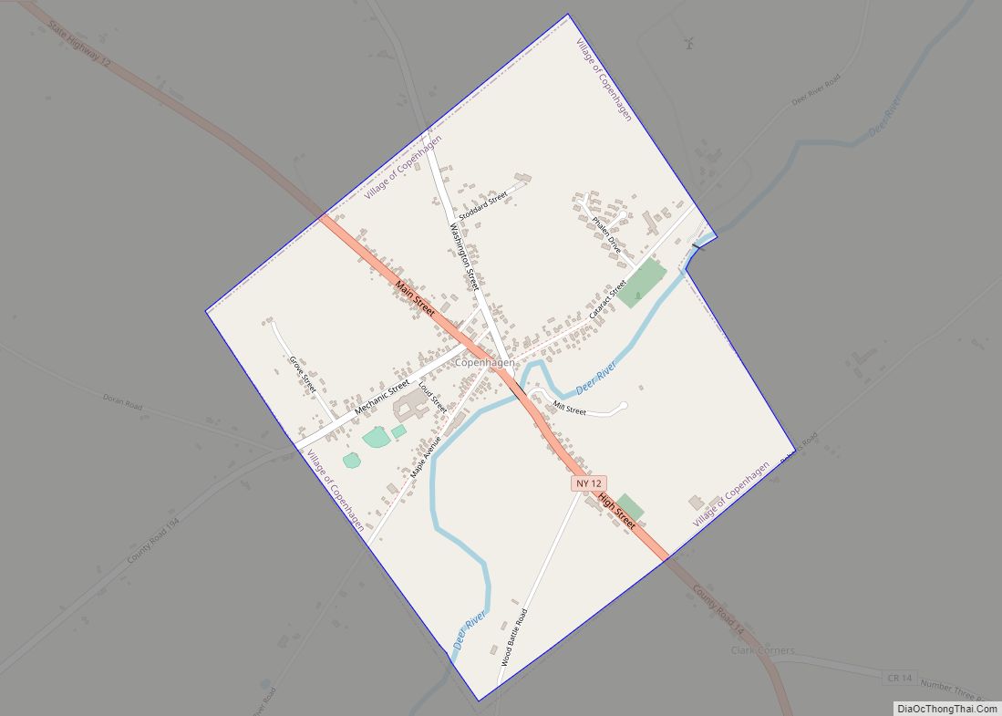
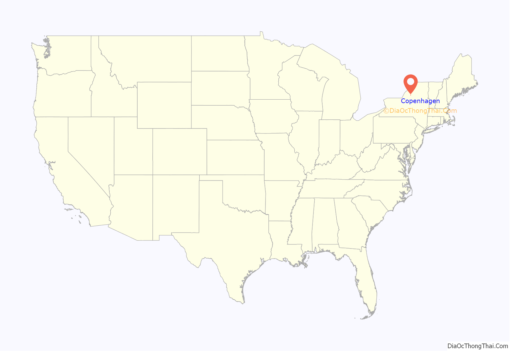
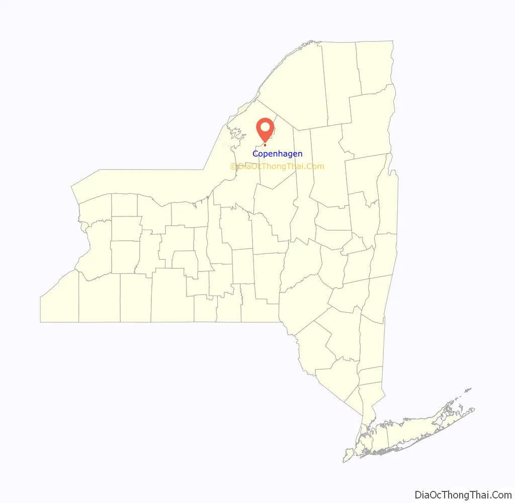
Copenhagen is a village in Lewis County, New York, United States. The village is situated between Watertown and Lowville. The population was 631 at the 2020 census. The village is named after Copenhagen, the capital of Denmark.
Copenhagen is in the town of Denmark and is northwest of Lowville.
| Name: | Copenhagen village |
|---|---|
| LSAD Code: | 47 |
| LSAD Description: | village (suffix) |
| State: | New York |
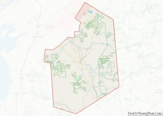
| County: | Lewis County |
| Elevation: | 1,165 ft (355 m) |
| Total Area: | 1.18 sq mi (3.04 km²) |
| Land Area: | 1.18 sq mi (3.04 km²) |
| Water Area: | 0.00 sq mi (0.00 km²) |
| Total Population: | 631 |
| Population Density: | 536.56/sq mi (207.26/km²) |
| ZIP code: | 13626 |
| Area code: | 315 |
| FIPS code: | 3618135 |
| GNISfeature ID: | 947413 |
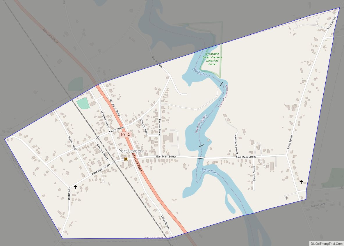
Online Interactive Map
Click on ![]() to view map in "full screen" mode.
to view map in "full screen" mode.
Copenhagen location map. Where is Copenhagen village?
History
Copenhagen was formerly known as “Mungers Mills”.
Pinckney Corners Cemetery was listed on the National Register of Historic Places in 2014.
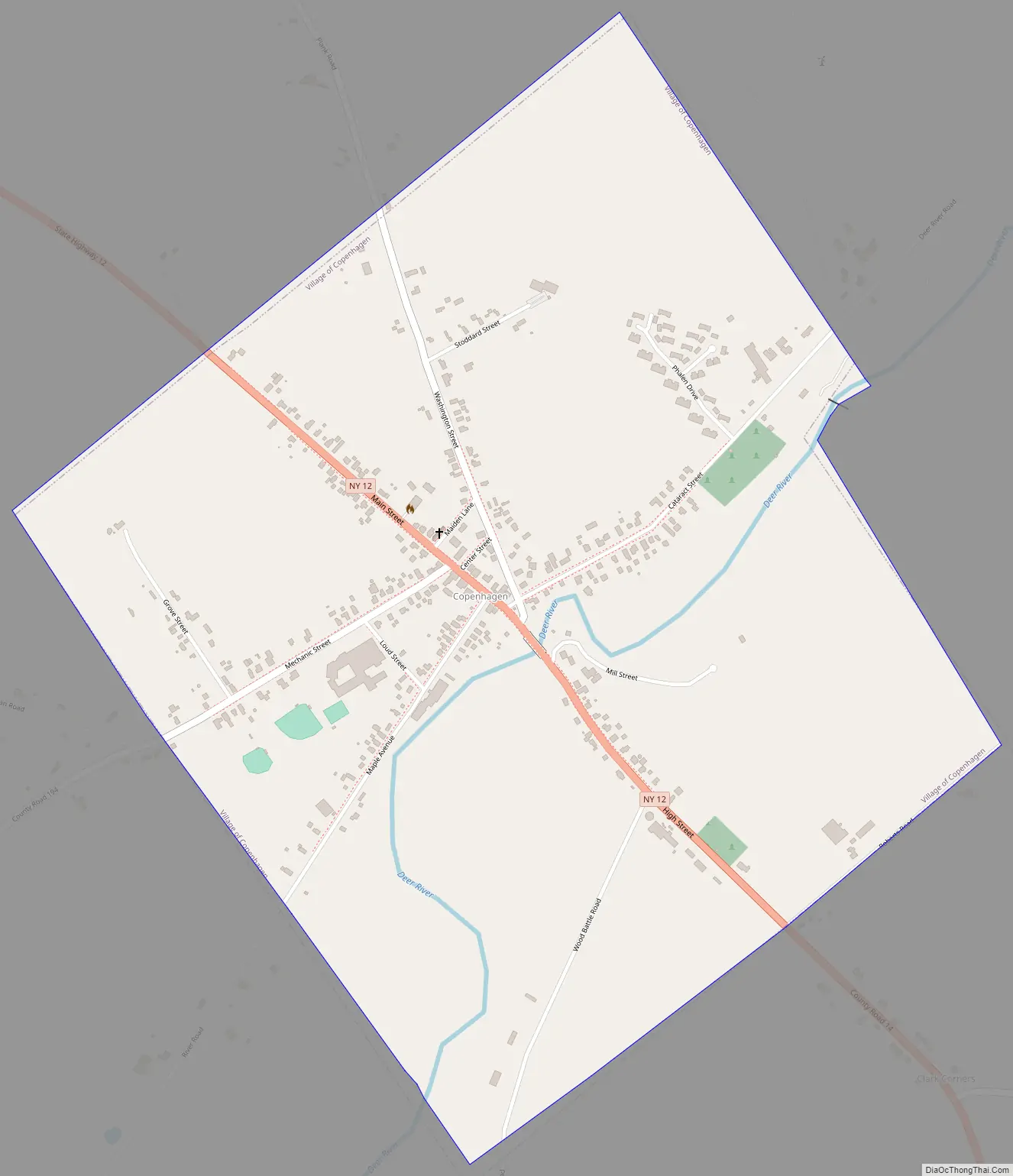
Copenhagen Road Map
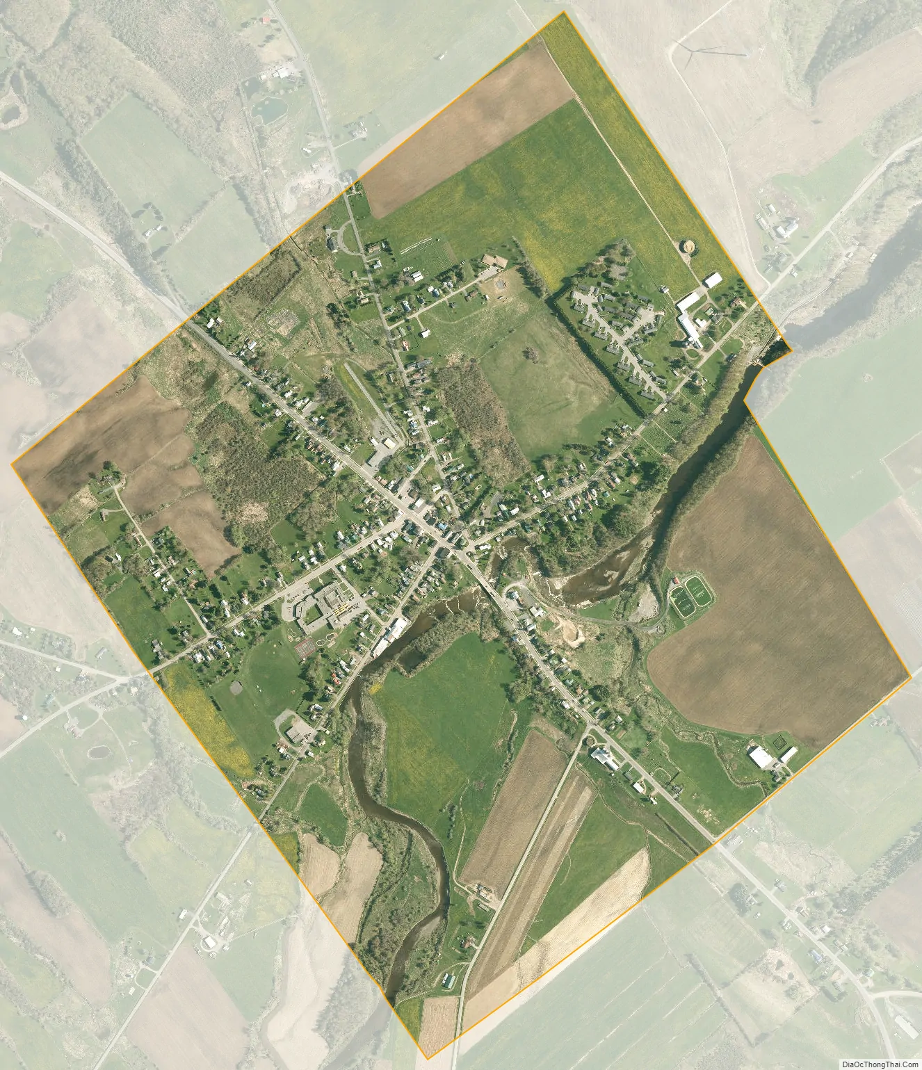
Copenhagen city Satellite Map
Geography
Copenhagen is located in the western part of the town of Denmark at 43°53′35″N 75°40′21″W / 43.89306°N 75.67250°W / 43.89306; -75.67250 (43.893078, -75.672474). According to the United States Census Bureau, the village has a total area of 1.2 square miles (3.0 km), all land. The Deer River, a tributary of the Black River, flows through the village. The river passes over High Falls at the eastern border of the village.
Copenhagen is on New York State Route 12, Main Street, south of the Jefferson County line. Route 12 leads northwest 14 miles (23 km) to Watertown and southeast 12 miles (19 km) to Lowville, the Lewis county seat.
See also
Map of New York State and its subdivision:- Albany
- Allegany
- Bronx
- Broome
- Cattaraugus
- Cayuga
- Chautauqua
- Chemung
- Chenango
- Clinton
- Columbia
- Cortland
- Delaware
- Dutchess
- Erie
- Essex
- Franklin
- Fulton
- Genesee
- Greene
- Hamilton
- Herkimer
- Jefferson
- Kings
- Lake Ontario
- Lewis
- Livingston
- Madison
- Monroe
- Montgomery
- Nassau
- New York
- Niagara
- Oneida
- Onondaga
- Ontario
- Orange
- Orleans
- Oswego
- Otsego
- Putnam
- Queens
- Rensselaer
- Richmond
- Rockland
- Saint Lawrence
- Saratoga
- Schenectady
- Schoharie
- Schuyler
- Seneca
- Steuben
- Suffolk
- Sullivan
- Tioga
- Tompkins
- Ulster
- Warren
- Washington
- Wayne
- Westchester
- Wyoming
- Yates
- Alabama
- Alaska
- Arizona
- Arkansas
- California
- Colorado
- Connecticut
- Delaware
- District of Columbia
- Florida
- Georgia
- Hawaii
- Idaho
- Illinois
- Indiana
- Iowa
- Kansas
- Kentucky
- Louisiana
- Maine
- Maryland
- Massachusetts
- Michigan
- Minnesota
- Mississippi
- Missouri
- Montana
- Nebraska
- Nevada
- New Hampshire
- New Jersey
- New Mexico
- New York
- North Carolina
- North Dakota
- Ohio
- Oklahoma
- Oregon
- Pennsylvania
- Rhode Island
- South Carolina
- South Dakota
- Tennessee
- Texas
- Utah
- Vermont
- Virginia
- Washington
- West Virginia
- Wisconsin
- Wyoming