Fishkill is a village within the town of Fishkill in Dutchess County, New York, United States. The village is in the eastern part of the town of Fishkill on U.S. Route 9. It is north of Interstate 84. NY 52 is the main street. It is part of the Poughkeepsie–Newburgh–Middletown, NY Metropolitan Statistical Area as well as the larger New York–Newark–Bridgeport, NY-NJ–CT–PA Combined Statistical Area. The first U. S. Post Office in New York state was established in Fishkill by Samuel Loudon, its first Postmaster.
| Name: | Fishkill village |
|---|---|
| LSAD Code: | 47 |
| LSAD Description: | village (suffix) |
| State: | New York |
| County: | Dutchess County |
| Elevation: | 220 ft (67 m) |
| Total Area: | 0.84 sq mi (2.16 km²) |
| Land Area: | 0.83 sq mi (2.15 km²) |
| Water Area: | 0.00 sq mi (0.01 km²) |
| Total Population: | 2,166 |
| Population Density: | 2,603.37/sq mi (1,005.44/km²) |
| ZIP code: | 12524 |
| Area code: | 845 |
| FIPS code: | 3625967 |
| GNISfeature ID: | 0977519 |
| Website: | vofishkill.us |
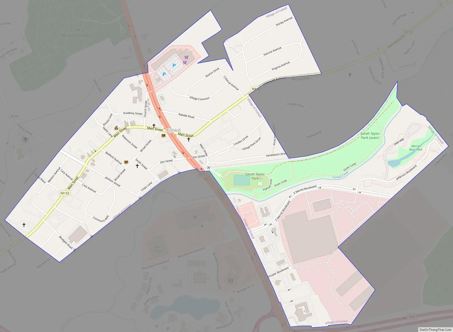
Online Interactive Map
Click on ![]() to view map in "full screen" mode.
to view map in "full screen" mode.
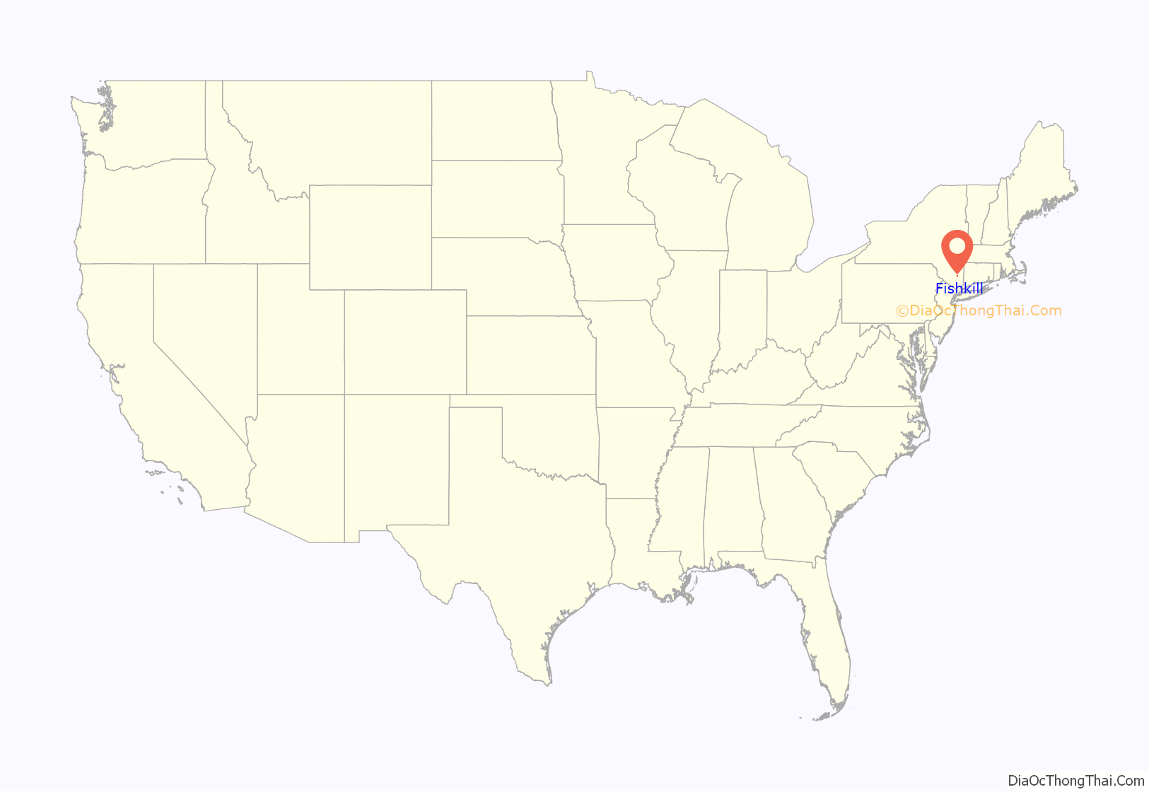
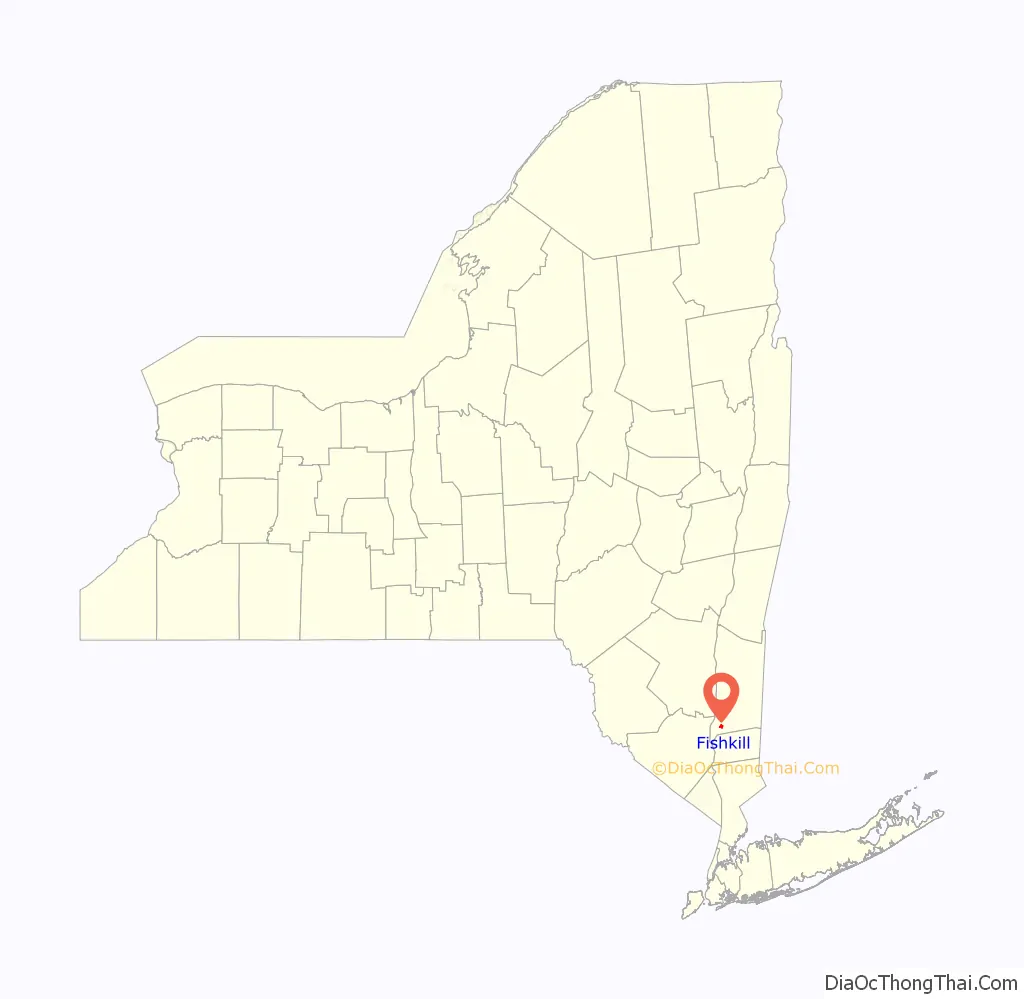
Fishkill location map. Where is Fishkill village?
History
Fishkill is located in the former territory of the Wappinger people. It was part of the Rombout Patent granted to Francis Rombouts, Gulian VerPlanck, and Stephanus Van Cortlandt of New Amsterdam in 1685. The name “Fishkill” evolved from two Dutch words, vis (fish) and kil (stream or creek). In 1714, Dutch immigrants settled in the area. The village of Fishkill was a significant crossroads in the overland transportation network in the 18th and 19th centuries. The Queen’s Highway, connecting Albany to New York City, intersected with a major overland route from New England to the Hudson River. Among the first to occupy the land now within the village limits were Johannes Ter Boss and Henry Rosecrance.
During the American Revolution printer Samuel Loudon fled from New York City during the British occupation of that city and set up a post office in Fishkill, which became the first post office in New York state. Here Loudon also continued printing a revolutionary newspaper called, The New York Packet and The American Advertiser which he founded while in New York City.
The third New York Provincial Congress convened in Fishkill in May 1776. Fishkill became part of one of the largest colonial military encampments during the Revolutionary War. General Washington’s aide-de-camp Alexander Hamilton took residence here. The Trinity Church, on Hopewell Avenue in the village, was organized in 1756 and the structure built in 1760. It was used as a hospital during the Revolutionary War. The Dutch Reformed church was used as a military prison. American spy Enoch Crosby was held there briefly with Loyalist recruits before being allowed to escape.
In 1871, construction began for a schoolhouse on Church Street. The site used for the schoolhouse belonged to the Fishkill Reformed Church and was formerly used as pasture land for the pastor’s cow. In 1876, a great fire destroyed many of the old wooden buildings, which were then replaced by brick ones.
In 1996, the animal rights group PETA (led by the organization’s president at the time, Jack Earnhardt) suggested the town (and, presumably, the village, as well) change its name to something less suggestive of violence toward fish. The town declined this change because the name is not meant to suggest violence but instead comes from the Dutch who originally settled the land in which “kil” means “creek”. Various other communities also contain the word “Kill” with various prefixes, and a creek in the Catskills called Beaver Kill is a tributary of the Delaware River. Both “Catskill” and “Beaver Kill” could be considered to promote animal violence when their names are improperly understood. This led then-mayor George Carter to joke that if Fishkill is renamed, the Catskills should also be renamed, presumably to the Catsave Mountains.
Fishkill Road Map
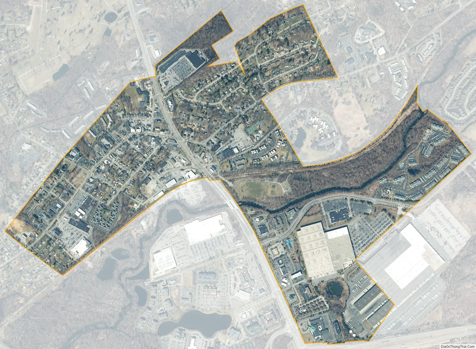
Fishkill city Satellite Map
Geography
According to the United States Census Bureau, the village has a total area of 2.3 square kilometres (0.89 sq mi), all land. The village population was 2,171 at the 2010 census.
See also
Map of New York State and its subdivision:- Albany
- Allegany
- Bronx
- Broome
- Cattaraugus
- Cayuga
- Chautauqua
- Chemung
- Chenango
- Clinton
- Columbia
- Cortland
- Delaware
- Dutchess
- Erie
- Essex
- Franklin
- Fulton
- Genesee
- Greene
- Hamilton
- Herkimer
- Jefferson
- Kings
- Lake Ontario
- Lewis
- Livingston
- Madison
- Monroe
- Montgomery
- Nassau
- New York
- Niagara
- Oneida
- Onondaga
- Ontario
- Orange
- Orleans
- Oswego
- Otsego
- Putnam
- Queens
- Rensselaer
- Richmond
- Rockland
- Saint Lawrence
- Saratoga
- Schenectady
- Schoharie
- Schuyler
- Seneca
- Steuben
- Suffolk
- Sullivan
- Tioga
- Tompkins
- Ulster
- Warren
- Washington
- Wayne
- Westchester
- Wyoming
- Yates
- Alabama
- Alaska
- Arizona
- Arkansas
- California
- Colorado
- Connecticut
- Delaware
- District of Columbia
- Florida
- Georgia
- Hawaii
- Idaho
- Illinois
- Indiana
- Iowa
- Kansas
- Kentucky
- Louisiana
- Maine
- Maryland
- Massachusetts
- Michigan
- Minnesota
- Mississippi
- Missouri
- Montana
- Nebraska
- Nevada
- New Hampshire
- New Jersey
- New Mexico
- New York
- North Carolina
- North Dakota
- Ohio
- Oklahoma
- Oregon
- Pennsylvania
- Rhode Island
- South Carolina
- South Dakota
- Tennessee
- Texas
- Utah
- Vermont
- Virginia
- Washington
- West Virginia
- Wisconsin
- Wyoming


