Fort Montgomery is a hamlet (and census-designated place) in Orange County, New York, United States. The population was 1,627 at the 2020 census. It is part of the Poughkeepsie–Newburgh–Middletown, NY Metropolitan Statistical Area as well as the larger New York–Newark–Bridgeport, NY-NJ–CT–PA Combined Statistical Area.
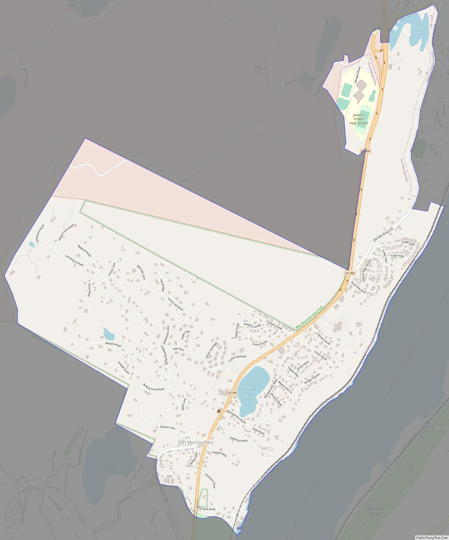
Fort Montgomery is in the southeastern corner of the town of Highlands, on U.S. Route 9W.
| Name: | Fort Montgomery CDP |
|---|---|
| LSAD Code: | 57 |
| LSAD Description: | CDP (suffix) |
| State: | New York |
| County: | Orange County |
| Elevation: | 161 ft (49 m) |
| Total Area: | 1.87 sq mi (4.85 km²) |
| Land Area: | 1.84 sq mi (4.77 km²) |
| Water Area: | 0.03 sq mi (0.08 km²) |
| Total Population: | 1,627 |
| Population Density: | 883.76/sq mi (341.23/km²) |
| ZIP code: | 10922 |
| Area code: | 845 |
| FIPS code: | 3626902 |
| GNISfeature ID: | 0950484 |
Online Interactive Map
Click on ![]() to view map in "full screen" mode.
to view map in "full screen" mode.
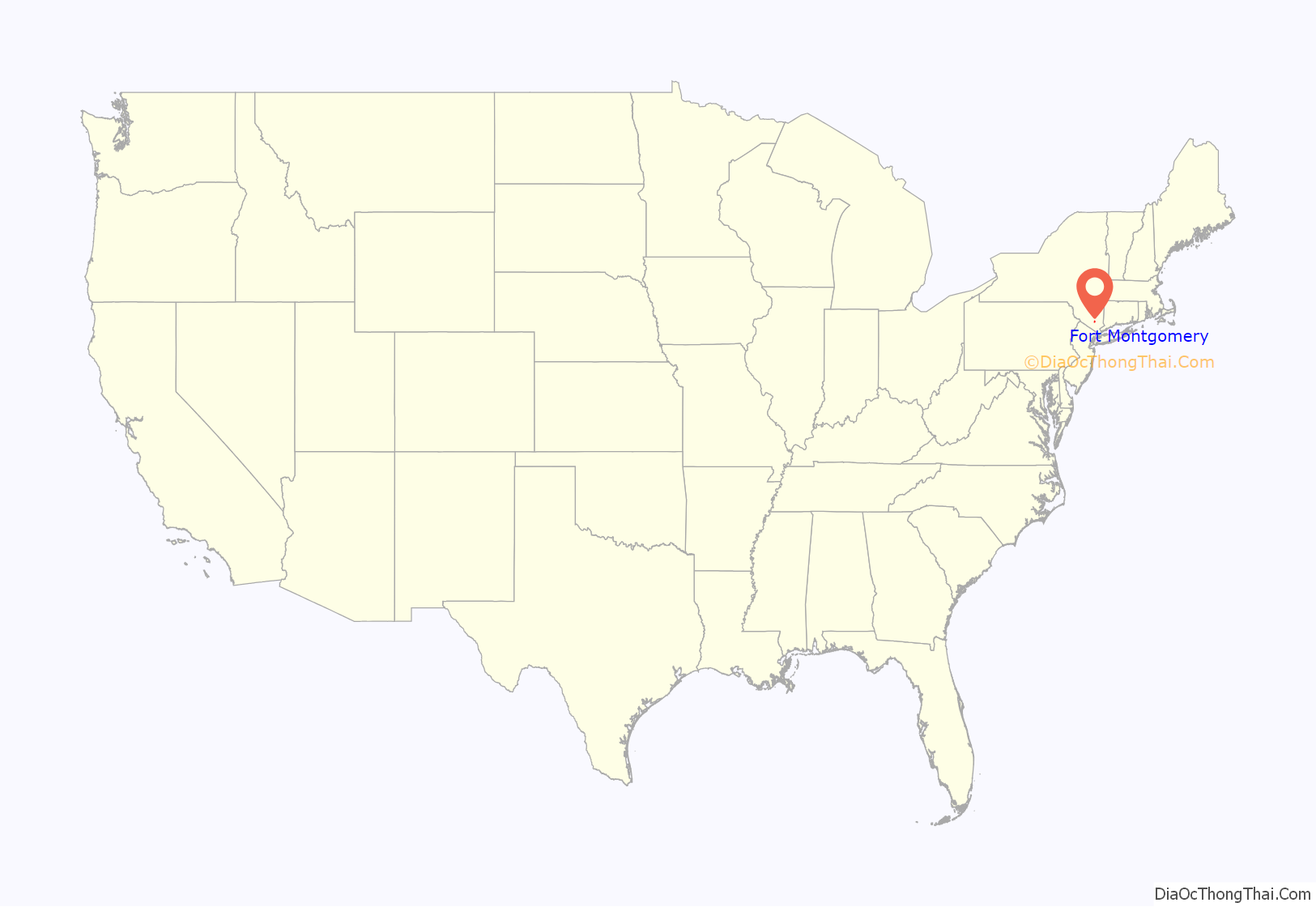
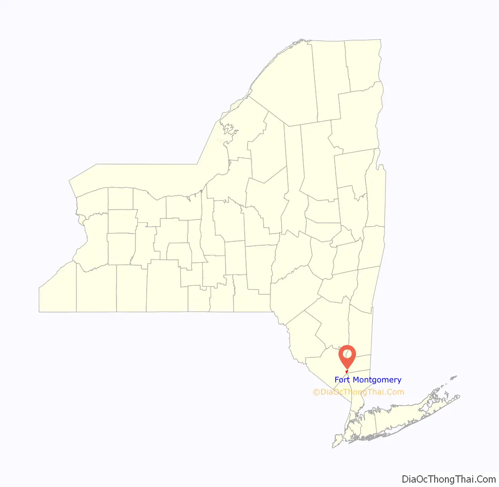
Fort Montgomery location map. Where is Fort Montgomery CDP?
History
The town is named after the first Fort Montgomery, a fortification of the American Revolution stormed by the British on October 6, 1777. Although a loss for American forces, the battle delayed the British from sailing up the Hudson River in time to relieve Burgoyne’s forces at Saratoga. After the fort’s demolition, American defenses centered on West Point, New York, upriver, and the location was not re-used militarily.
The town subsequently became the site of a major ore dock. Ore from the Forest of Dean Mine was shipped via a railroad and an aerial tramway to the dock, where it was loaded into steamboats on the Hudson. Coal for the mine machinery travelled in the opposite direction. Some ore was also mined in the immediate vicinity of Fort Montgomery. The West Shore Railroad was constructed through the town in the early 1880s.
Local mining activity was relatively ephemeral, and the large Forest of Dean Mine was shut down in 1931. With the loss of its main industry, the town sank into decline, accelerated by the end of railroad passenger service in 1958.
Today, the hamlet is a well-known stop on the Appalachian trail due to the close proximity to the trail of its post office, food, and lodging.
Fort Montgomery Road Map
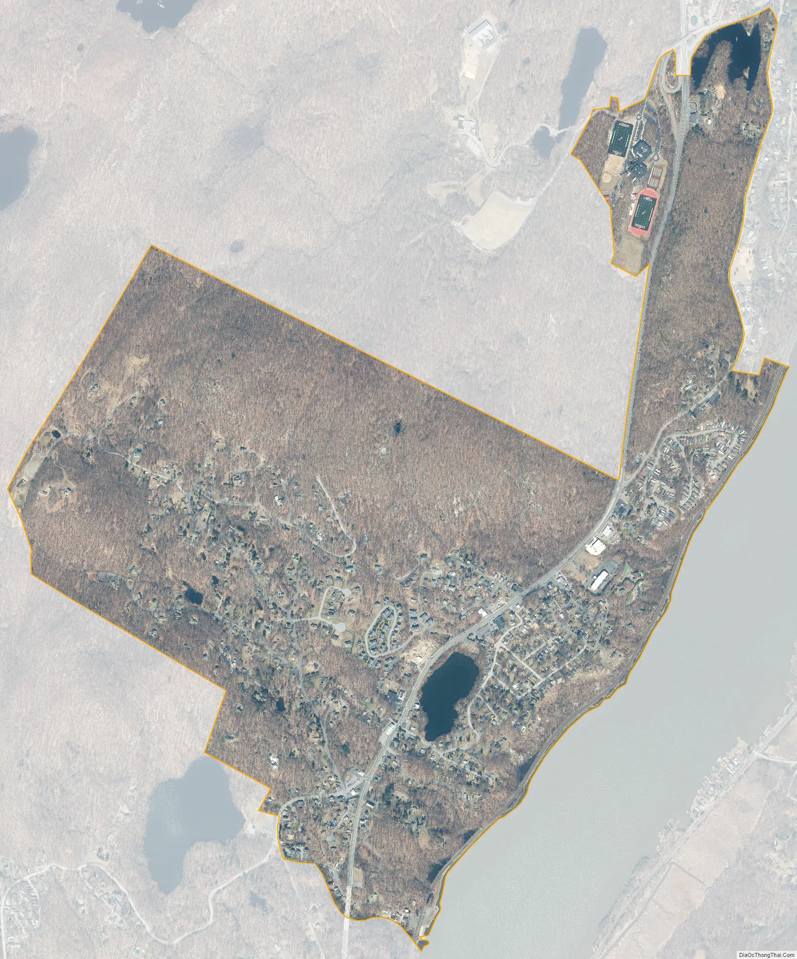
Fort Montgomery city Satellite Map
Geography
Fort Montgomery is on the west bank of the Hudson River.
Fort Montgomery is located at 41°20′15″N 73°58′58″W / 41.33750°N 73.98278°W / 41.33750; -73.98278 (41.337469, -73.982746).
According to the United States Census Bureau, the CDP has a total area of 1.5 square miles (3.9 km), of which 1.5 square miles (3.9 km) is land and .04 square miles (0.10 km) (2%) is water.
See also
Map of New York State and its subdivision:- Albany
- Allegany
- Bronx
- Broome
- Cattaraugus
- Cayuga
- Chautauqua
- Chemung
- Chenango
- Clinton
- Columbia
- Cortland
- Delaware
- Dutchess
- Erie
- Essex
- Franklin
- Fulton
- Genesee
- Greene
- Hamilton
- Herkimer
- Jefferson
- Kings
- Lake Ontario
- Lewis
- Livingston
- Madison
- Monroe
- Montgomery
- Nassau
- New York
- Niagara
- Oneida
- Onondaga
- Ontario
- Orange
- Orleans
- Oswego
- Otsego
- Putnam
- Queens
- Rensselaer
- Richmond
- Rockland
- Saint Lawrence
- Saratoga
- Schenectady
- Schoharie
- Schuyler
- Seneca
- Steuben
- Suffolk
- Sullivan
- Tioga
- Tompkins
- Ulster
- Warren
- Washington
- Wayne
- Westchester
- Wyoming
- Yates
- Alabama
- Alaska
- Arizona
- Arkansas
- California
- Colorado
- Connecticut
- Delaware
- District of Columbia
- Florida
- Georgia
- Hawaii
- Idaho
- Illinois
- Indiana
- Iowa
- Kansas
- Kentucky
- Louisiana
- Maine
- Maryland
- Massachusetts
- Michigan
- Minnesota
- Mississippi
- Missouri
- Montana
- Nebraska
- Nevada
- New Hampshire
- New Jersey
- New Mexico
- New York
- North Carolina
- North Dakota
- Ohio
- Oklahoma
- Oregon
- Pennsylvania
- Rhode Island
- South Carolina
- South Dakota
- Tennessee
- Texas
- Utah
- Vermont
- Virginia
- Washington
- West Virginia
- Wisconsin
- Wyoming


