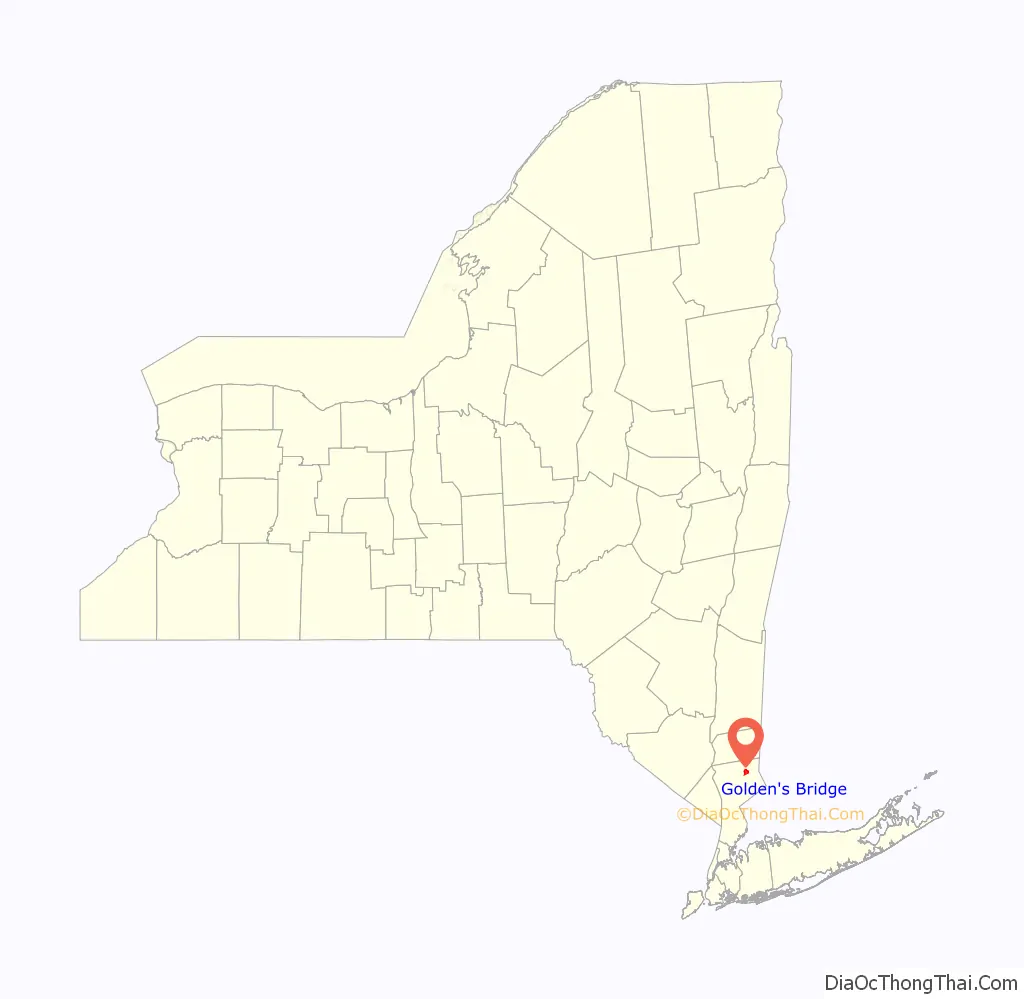
Goldens Bridge is a hamlet and census-designated place (CDP) in the town of Lewisboro in Westchester County, New York, United States. The population was 1,630 at the 2010 census.
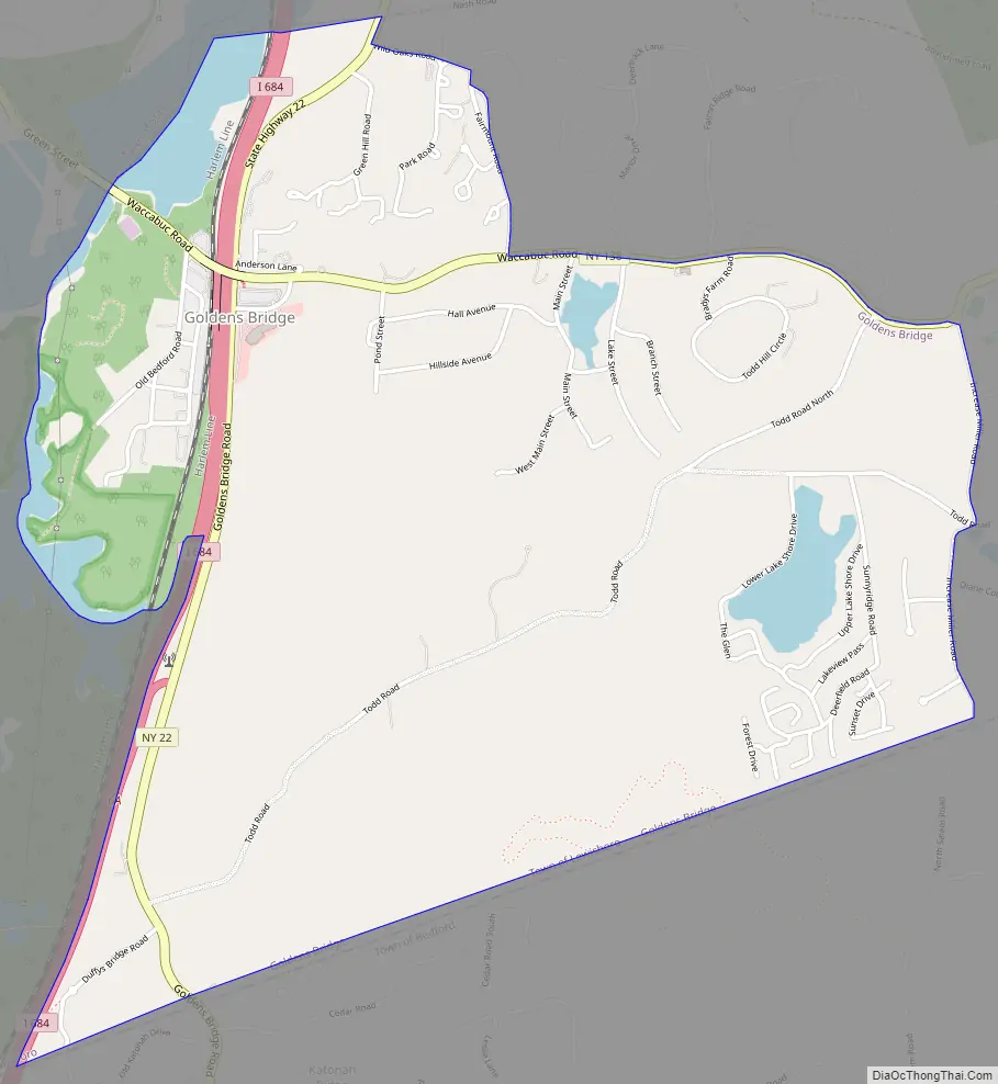
Goldens Bridge is in the western part of the town, adjacent to Interstate 684 and the Croton River. Goldens Bridge is a suburb of New York City, as it is located approximately 30 miles (48 km) north of the Bronx.
| Name: | Golden’s Bridge CDP |
|---|---|
| LSAD Code: | 57 |
| LSAD Description: | CDP (suffix) |
| State: | New York |
| County: | Westchester County |
| Elevation: | 217 ft (66 m) |
| Total Area: | 2.54 sq mi (6.58 km²) |
| Land Area: | 2.41 sq mi (6.24 km²) |
| Water Area: | 0.13 sq mi (0.34 km²) |
| Total Population: | 1,628 |
| Population Density: | 675.24/sq mi (260.75/km²) |
| ZIP code: | 10526 or 10536 |
| Area code: | 914 |
| FIPS code: | 3629476 |
| GNISfeature ID: | 0951294 |
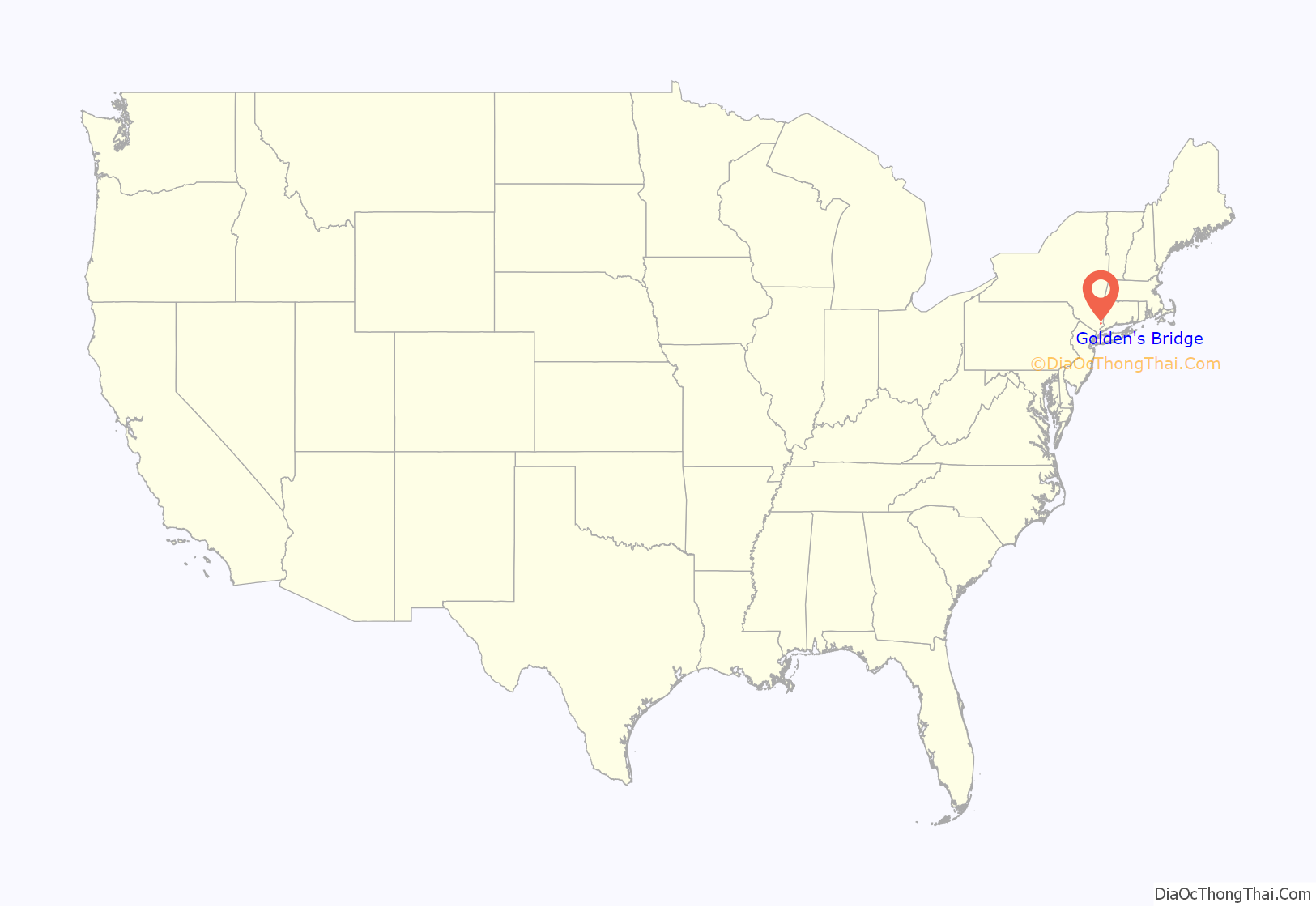
Online Interactive Map
Click on ![]() to view map in "full screen" mode.
to view map in "full screen" mode.
Golden’s Bridge location map. Where is Golden’s Bridge CDP?
History
According to The New York Times, “Colonial geographers and surveyors identified a crossing over the Croton River in the Goldens Bridge area as early as 1750. The early maps refer to the bridge by different names, including Coldens Bridge, Goldings Bridge and Goldens Bridge. The bridge was washed away and rebuilt a number of times as the area around the crossing began to grow into a depot for farm produce from Connecticut and Salem and a stop for travelers along the river. But there is no trace of the bridge today as it lies under the Croton Reservoir, which was created when the Croton River was dammed around the turn of the 20th century.”
In the mid-20th century, the hamlet was home to a majority Jewish community, which governed itself under communal living standards, with many residents considering the community to be the true owner of the land their homes were built upon. Bridge L-158, a railroad bridge, was listed on the National Register of Historic Places in 1978.
On February 24, 2014, the hamlet’s firehouse was the scene of a three alarm fire. A rescue truck, two SUVS, and a 1943 Willys Jeep Utility/Brush Truck were damaged or destroyed.
Golden’s Bridge Road Map
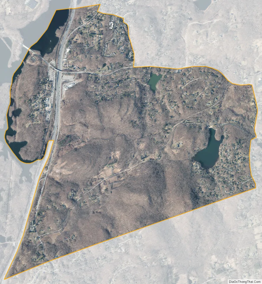
Golden’s Bridge city Satellite Map
Geography
Goldens Bridge is located at 41°17′16″N 73°40′7″W / 41.28778°N 73.66861°W / 41.28778; -73.66861 (41.287896, -73.668630).
According to the United States Census Bureau, the CDP has a total area of 2.5 square miles (6.6 km), of which 2.4 square miles (6.3 km) is land and 0.12 square miles (0.3 km), or 5.19%, is water.
Terrain
Goldens Bridge has a diverse terrain of several rocky hills, mostly with stones left from the last ice age. It is largely forested and includes many streams and lakes, as well as bordering the Muscoot Reservoir and the Cross River Reservoir.
See also
Map of New York State and its subdivision:- Albany
- Allegany
- Bronx
- Broome
- Cattaraugus
- Cayuga
- Chautauqua
- Chemung
- Chenango
- Clinton
- Columbia
- Cortland
- Delaware
- Dutchess
- Erie
- Essex
- Franklin
- Fulton
- Genesee
- Greene
- Hamilton
- Herkimer
- Jefferson
- Kings
- Lake Ontario
- Lewis
- Livingston
- Madison
- Monroe
- Montgomery
- Nassau
- New York
- Niagara
- Oneida
- Onondaga
- Ontario
- Orange
- Orleans
- Oswego
- Otsego
- Putnam
- Queens
- Rensselaer
- Richmond
- Rockland
- Saint Lawrence
- Saratoga
- Schenectady
- Schoharie
- Schuyler
- Seneca
- Steuben
- Suffolk
- Sullivan
- Tioga
- Tompkins
- Ulster
- Warren
- Washington
- Wayne
- Westchester
- Wyoming
- Yates
- Alabama
- Alaska
- Arizona
- Arkansas
- California
- Colorado
- Connecticut
- Delaware
- District of Columbia
- Florida
- Georgia
- Hawaii
- Idaho
- Illinois
- Indiana
- Iowa
- Kansas
- Kentucky
- Louisiana
- Maine
- Maryland
- Massachusetts
- Michigan
- Minnesota
- Mississippi
- Missouri
- Montana
- Nebraska
- Nevada
- New Hampshire
- New Jersey
- New Mexico
- New York
- North Carolina
- North Dakota
- Ohio
- Oklahoma
- Oregon
- Pennsylvania
- Rhode Island
- South Carolina
- South Dakota
- Tennessee
- Texas
- Utah
- Vermont
- Virginia
- Washington
- West Virginia
- Wisconsin
- Wyoming


