Hopewell Junction is a hamlet and census-designated place (CDP) in Dutchess County, New York, United States. The population was 1330 at the 2020 census. It is part of the Poughkeepsie–Newburgh–Middletown, NY Metropolitan Statistical Area as well as the larger New York–Newark–Bridgeport, NY-NJ–CT–PA Combined Statistical Area.
Hopewell Junction is located within the town of East Fishkill. It was originally a railroad junction where the Newburgh, Dutchess and Connecticut Railroad met the New York and New England Railroad and Dutchess County Railroad. All three became part of the New York, New Haven and Hartford Railroad system, and the ND&C to the southwest and the NY&NE are now owned by the Housatonic Railroad and used by Metro-North for equipment moves between its Hudson Line and Harlem Line. The last remaining section of passenger line, a branch from Pine Plains, south through Milbrook, to Hopewell Junction, to Beacon, lost its passenger service at some point between 1932 and 1938. The closest passenger facility is Beacon station on Metro-North’s Hudson Line. Today, Hopewell Junction sits astride the bike/walk Empire State Trail where it is the juncture between the Dutchess Rail Trail running west to the Walkway Over the Hudson at Poughkeepsie, New York and the more recently constructed Maybrook Trailway winding through the hills to Brewster, New York to almost meet the Putnam County Trailway and its continuations to New York City.
It was ranked #31 on Money magazine’s “Most Desirable Places to Live” for 2005.
| Name: | Hopewell Junction CDP |
|---|---|
| LSAD Code: | 57 |
| LSAD Description: | CDP (suffix) |
| State: | New York |
| County: | Dutchess County |
| Elevation: | 246 ft (75 m) |
| Total Area: | 0.74 sq mi (1.93 km²) |
| Land Area: | 0.74 sq mi (1.92 km²) |
| Water Area: | 0.00 sq mi (0.00 km²) |
| Total Population: | 1,330 |
| Population Density: | 1,792.45/sq mi (691.65/km²) |
| ZIP code: | 12533 |
| Area code: | 845 |
| FIPS code: | 3635573 |
| GNISfeature ID: | 0953194 |
Online Interactive Map
Click on ![]() to view map in "full screen" mode.
to view map in "full screen" mode.
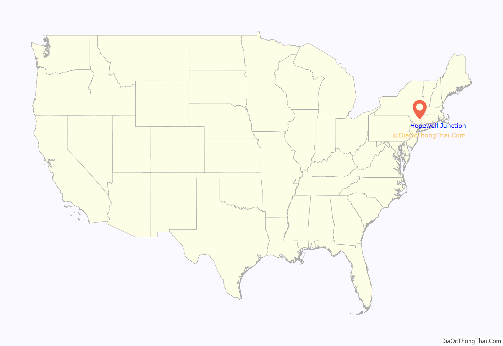
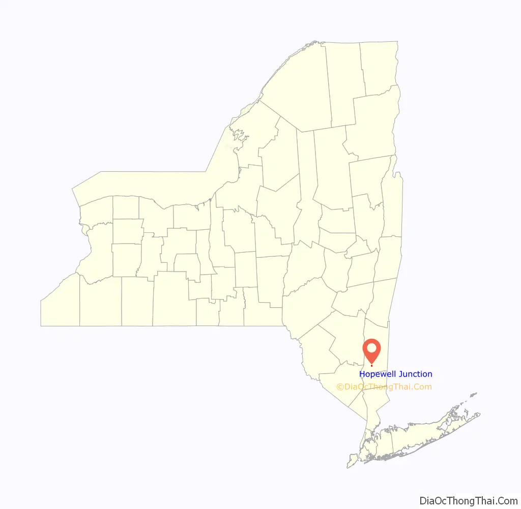
Hopewell Junction location map. Where is Hopewell Junction CDP?
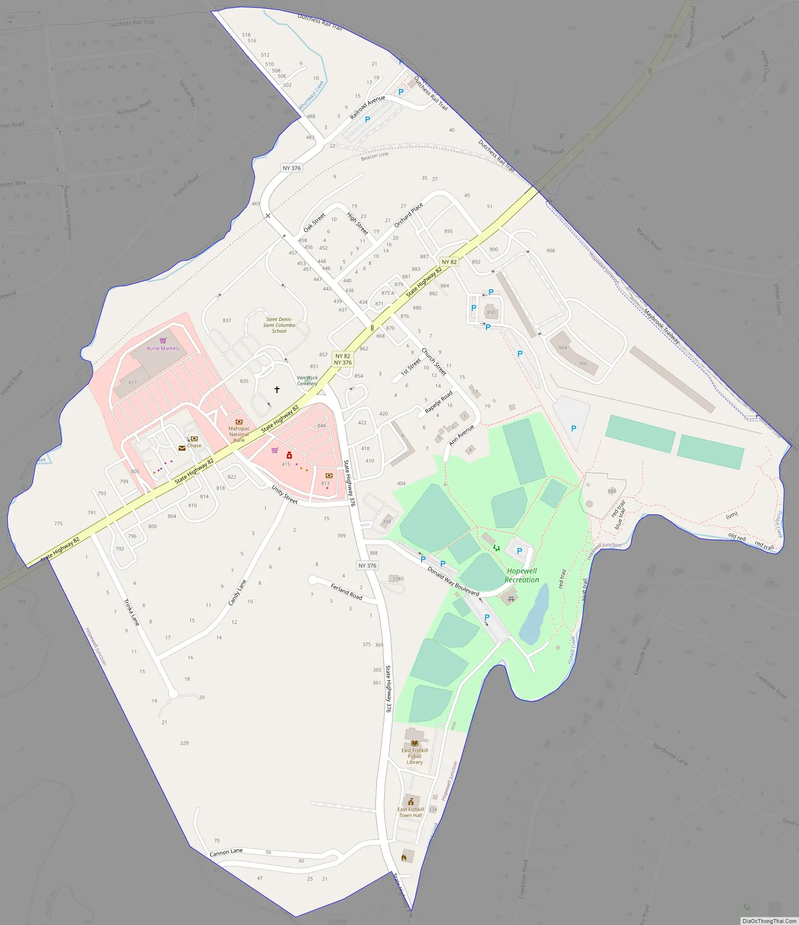
Hopewell Junction Road Map
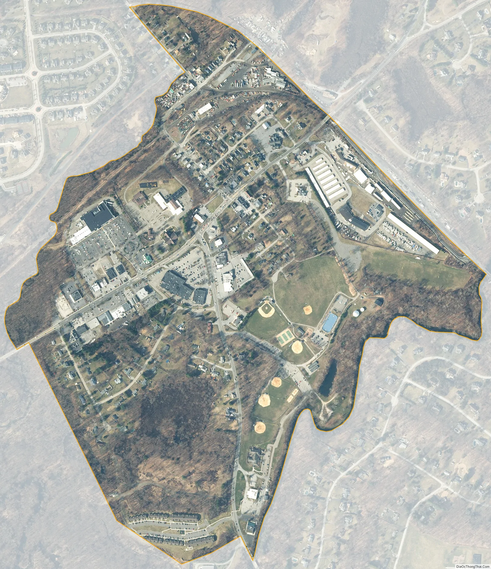
Hopewell Junction city Satellite Map
Geography
Hopewell Junction is located near the center of the town of East Fishkill at 41°35′N 73°48′W / 41.583°N 73.800°W / 41.583; -73.800 (41.584, -73.806), to the north of Fishkill Creek.
According to the United States Census Bureau, the CDP has a total area of 0.50 square miles (1.3 km), mostly land, a significant reduction from the 2000 Census delineation, when the CDP had an area of 2.8 square miles (7.3 km).
See also
Map of New York State and its subdivision:- Albany
- Allegany
- Bronx
- Broome
- Cattaraugus
- Cayuga
- Chautauqua
- Chemung
- Chenango
- Clinton
- Columbia
- Cortland
- Delaware
- Dutchess
- Erie
- Essex
- Franklin
- Fulton
- Genesee
- Greene
- Hamilton
- Herkimer
- Jefferson
- Kings
- Lake Ontario
- Lewis
- Livingston
- Madison
- Monroe
- Montgomery
- Nassau
- New York
- Niagara
- Oneida
- Onondaga
- Ontario
- Orange
- Orleans
- Oswego
- Otsego
- Putnam
- Queens
- Rensselaer
- Richmond
- Rockland
- Saint Lawrence
- Saratoga
- Schenectady
- Schoharie
- Schuyler
- Seneca
- Steuben
- Suffolk
- Sullivan
- Tioga
- Tompkins
- Ulster
- Warren
- Washington
- Wayne
- Westchester
- Wyoming
- Yates
- Alabama
- Alaska
- Arizona
- Arkansas
- California
- Colorado
- Connecticut
- Delaware
- District of Columbia
- Florida
- Georgia
- Hawaii
- Idaho
- Illinois
- Indiana
- Iowa
- Kansas
- Kentucky
- Louisiana
- Maine
- Maryland
- Massachusetts
- Michigan
- Minnesota
- Mississippi
- Missouri
- Montana
- Nebraska
- Nevada
- New Hampshire
- New Jersey
- New Mexico
- New York
- North Carolina
- North Dakota
- Ohio
- Oklahoma
- Oregon
- Pennsylvania
- Rhode Island
- South Carolina
- South Dakota
- Tennessee
- Texas
- Utah
- Vermont
- Virginia
- Washington
- West Virginia
- Wisconsin
- Wyoming


