Jefferson Valley-Yorktown, commonly known as Jefferson Valley, is a census-designated place (CDP) located in the town of Yorktown in Westchester County, New York, United States. The population was 14,142 at the 2010 census. It is a hot spot for local shoppers, due to its Jefferson Valley Mall.
| Name: | Jefferson Valley-Yorktown CDP |
|---|---|
| LSAD Code: | 57 |
| LSAD Description: | CDP (suffix) |
| State: | New York |
| County: | Westchester County |
| Total Area: | 7.05 sq mi (18.27 km²) |
| Land Area: | 6.96 sq mi (18.02 km²) |
| Water Area: | 0.10 sq mi (0.25 km²) |
| Total Population: | 14,444 |
| Population Density: | 2,075.59/sq mi (801.39/km²) |
| ZIP code: | 10535 |
| Area code: | 914 |
| FIPS code: | 3638500 |
Online Interactive Map
Click on ![]() to view map in "full screen" mode.
to view map in "full screen" mode.
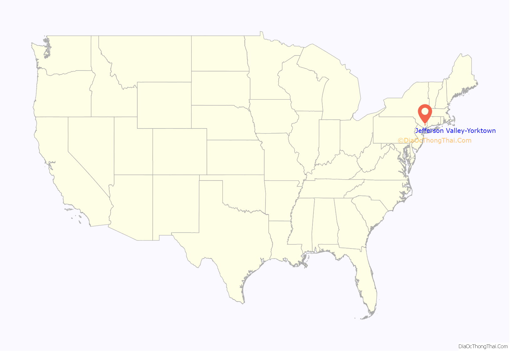
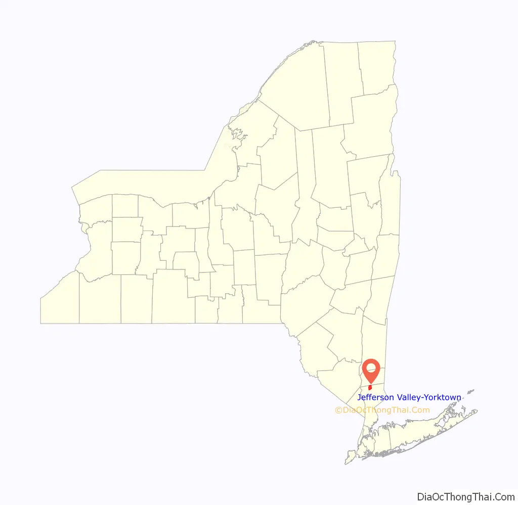
Jefferson Valley-Yorktown location map. Where is Jefferson Valley-Yorktown CDP?
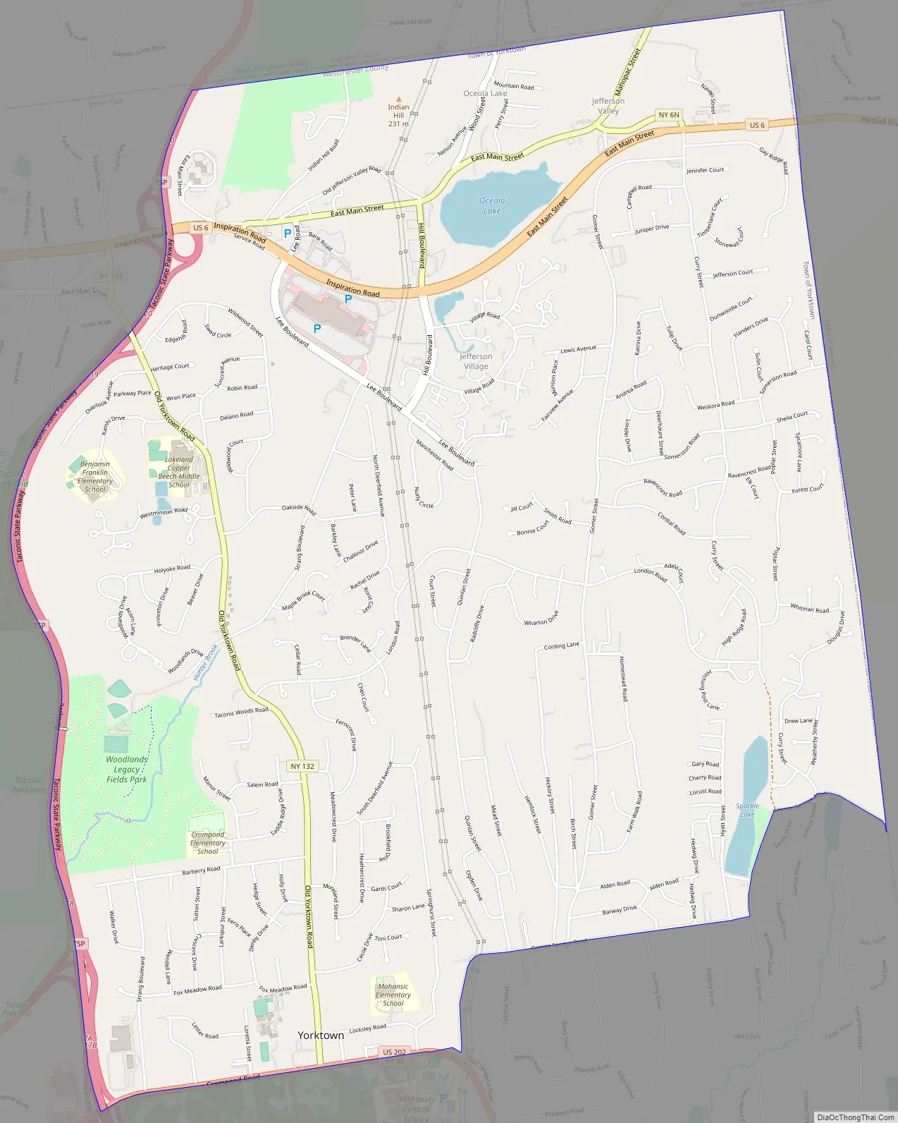
Jefferson Valley-Yorktown Road Map
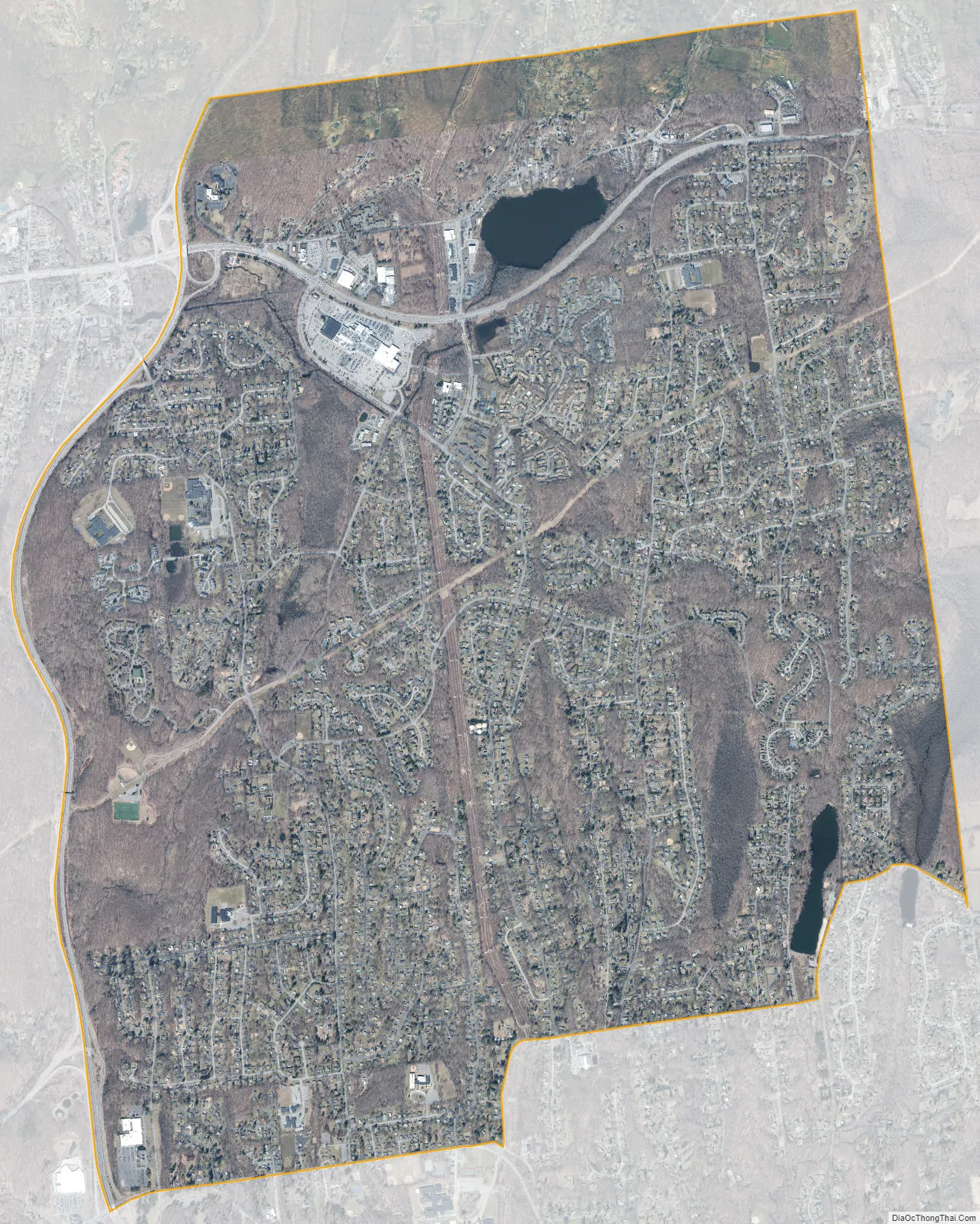
Jefferson Valley-Yorktown city Satellite Map
Geography
The Jefferson Valley-Yorktown CDP is located at 41°19′1″N 73°48′6″W / 41.31694°N 73.80167°W / 41.31694; -73.80167 (41.316874, -73.801722). The hamlet of Jefferson Valley is in the northeast part of the CDP, along U.S. Route 6, while the hamlet of Yorktown is in the south, at the junction of New York State Route 132 (Old Yorktown Road) with U.S. Route 202/State Route 35 (Crompond Road). The Taconic Parkway forms the western border of the CDP, while the Somers town line is the eastern border. The northern border follows the Westchester-Putnam County line.
According to the United States Census Bureau, the CDP has a total area of 7.0 square miles (18 km), of which 6.9 square miles (18 km) is land and 0.1 square miles (0.26 km), or 1.14%, is water.
See also
Map of New York State and its subdivision:- Albany
- Allegany
- Bronx
- Broome
- Cattaraugus
- Cayuga
- Chautauqua
- Chemung
- Chenango
- Clinton
- Columbia
- Cortland
- Delaware
- Dutchess
- Erie
- Essex
- Franklin
- Fulton
- Genesee
- Greene
- Hamilton
- Herkimer
- Jefferson
- Kings
- Lake Ontario
- Lewis
- Livingston
- Madison
- Monroe
- Montgomery
- Nassau
- New York
- Niagara
- Oneida
- Onondaga
- Ontario
- Orange
- Orleans
- Oswego
- Otsego
- Putnam
- Queens
- Rensselaer
- Richmond
- Rockland
- Saint Lawrence
- Saratoga
- Schenectady
- Schoharie
- Schuyler
- Seneca
- Steuben
- Suffolk
- Sullivan
- Tioga
- Tompkins
- Ulster
- Warren
- Washington
- Wayne
- Westchester
- Wyoming
- Yates
- Alabama
- Alaska
- Arizona
- Arkansas
- California
- Colorado
- Connecticut
- Delaware
- District of Columbia
- Florida
- Georgia
- Hawaii
- Idaho
- Illinois
- Indiana
- Iowa
- Kansas
- Kentucky
- Louisiana
- Maine
- Maryland
- Massachusetts
- Michigan
- Minnesota
- Mississippi
- Missouri
- Montana
- Nebraska
- Nevada
- New Hampshire
- New Jersey
- New Mexico
- New York
- North Carolina
- North Dakota
- Ohio
- Oklahoma
- Oregon
- Pennsylvania
- Rhode Island
- South Carolina
- South Dakota
- Tennessee
- Texas
- Utah
- Vermont
- Virginia
- Washington
- West Virginia
- Wisconsin
- Wyoming


