Katonah /ˈkətoʊnə/ is a hamlet and census-designated place (CDP) within the town of Bedford, Westchester County, in the U.S. state of New York. The Katonah CDP had a population of 1,679 at the 2010 census.
| Name: | Katonah CDP |
|---|---|
| LSAD Code: | 57 |
| LSAD Description: | CDP (suffix) |
| State: | New York |
| County: | Westchester County |
| Elevation: | 235 ft (72 m) |
| Total Area: | 0.81 sq mi (2.11 km²) |
| Land Area: | 0.73 sq mi (1.90 km²) |
| Water Area: | 0.08 sq mi (0.20 km²) |
| Total Population: | 1,603 |
| Population Density: | 2,183.92/sq mi (842.98/km²) |
| ZIP code: | 10536 |
| Area code: | 914 |
| FIPS code: | 3638946 |
| GNISfeature ID: | 0954396 |
| Website: | www.katonahny.com |
Online Interactive Map
Click on ![]() to view map in "full screen" mode.
to view map in "full screen" mode.
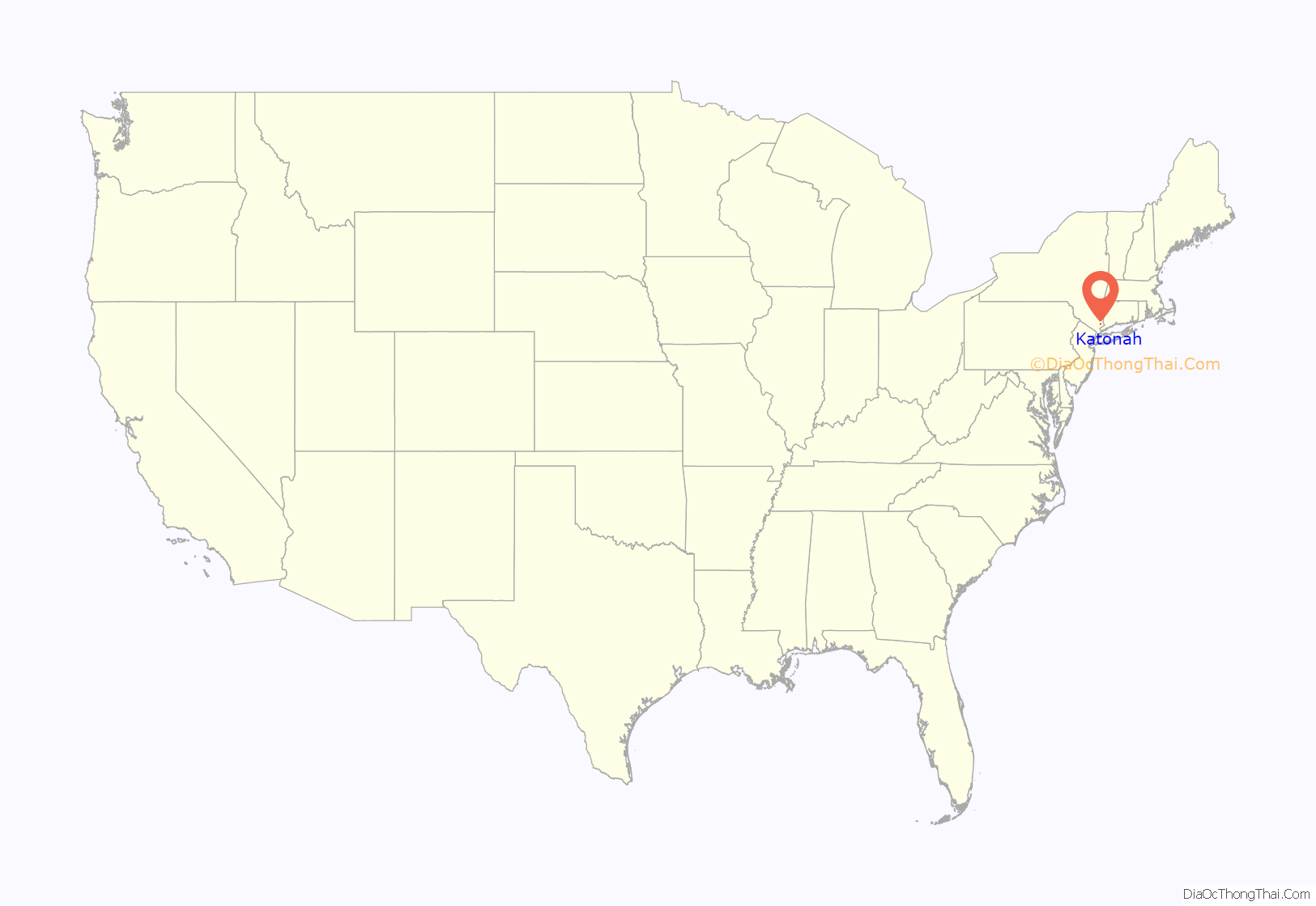
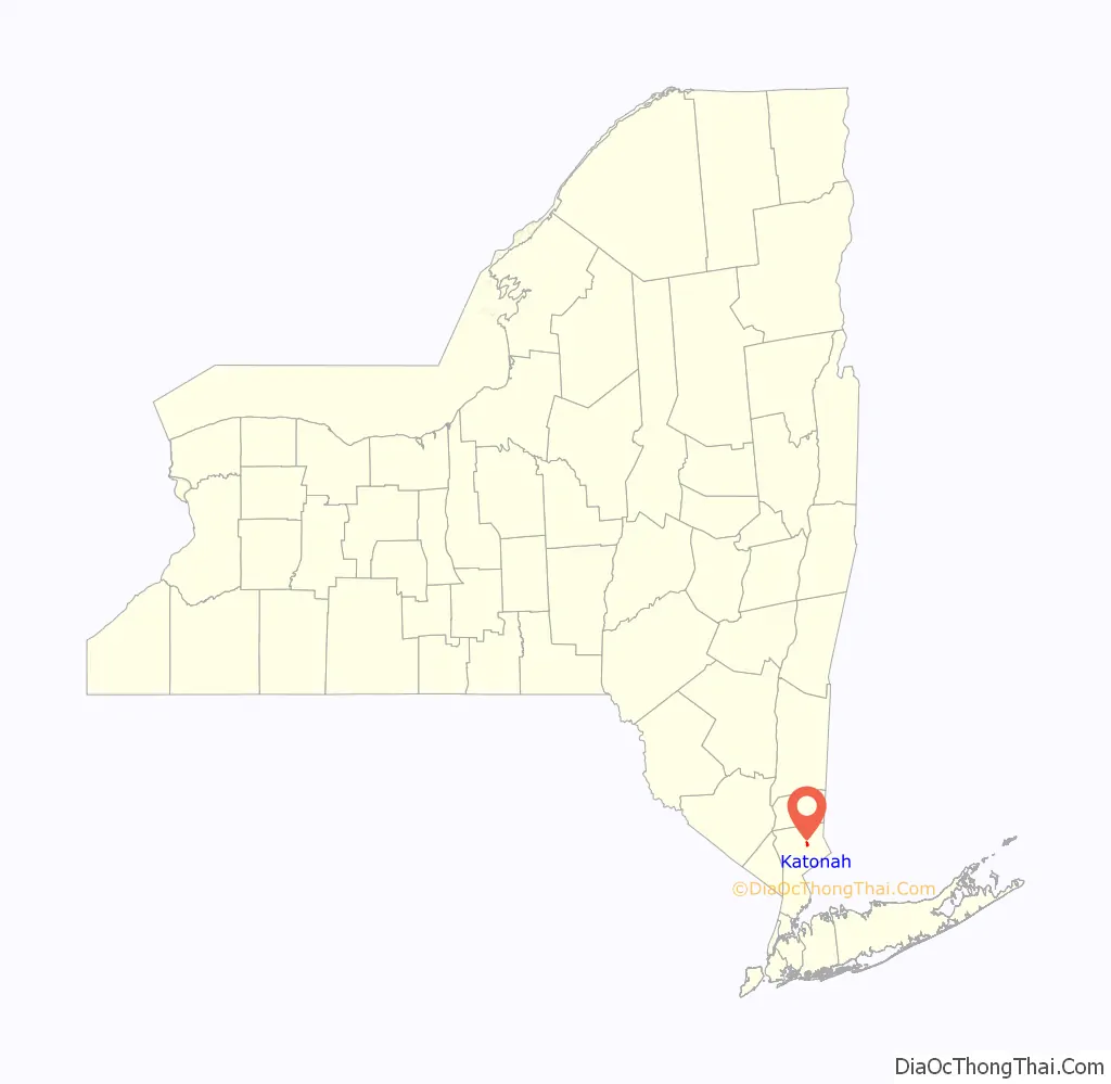
Katonah location map. Where is Katonah CDP?
History
Katonah is named for Chief Katonah, an American Indian sachem from whom the land of Bedford was purchased by a group of English colonists.
During the American Revolution most local men supported the Continental side, with some joining the New York 4th Regiment of the Line and the majority the local Militia. Though Bedford Township lay in what was called “Neutral Ground”, supposedly unmolested by military forces of either side, its inhabitants were preyed on by the lawless of both. The area suffered less from such depredations than other areas in the Neutral Ground because of the proximity of the Croton River and the “Westchester Lines”, a sparse string of outposts defended by units of the Continental Army.
Originally known as Whitlockville, the settlement changed its name, then moved south to its present site in 1897, when what is known by some as “Old Katonah” was flooded by the construction of the New Croton Dam. This raised the water level behind it enough to submerge the existing Muscoot Dam, the waters it empounded, and the village, under the resultantly expanded Muscoot Reservoir. More than 50 buildings were moved from the old site to “New Katonah”, rolled on logs pulled by horses. The move was originally ordered to start in 1894, but litigation delayed this by almost three years. Evidently not all of the moved houses were within the affected area, leaving empty foundations where new houses would eventually be built upon.
An eleven-year-old child named B. Robertson wrote the following to a children’s magazine on March 2, 1897:
Katonah was just one of a great number of settlements in northern Westchester and Putnam counties to be eradicated – variously moved, demolished, or burnt to the ground – during the creation of the Croton Watershed as part of New York City’s drinking water supply.
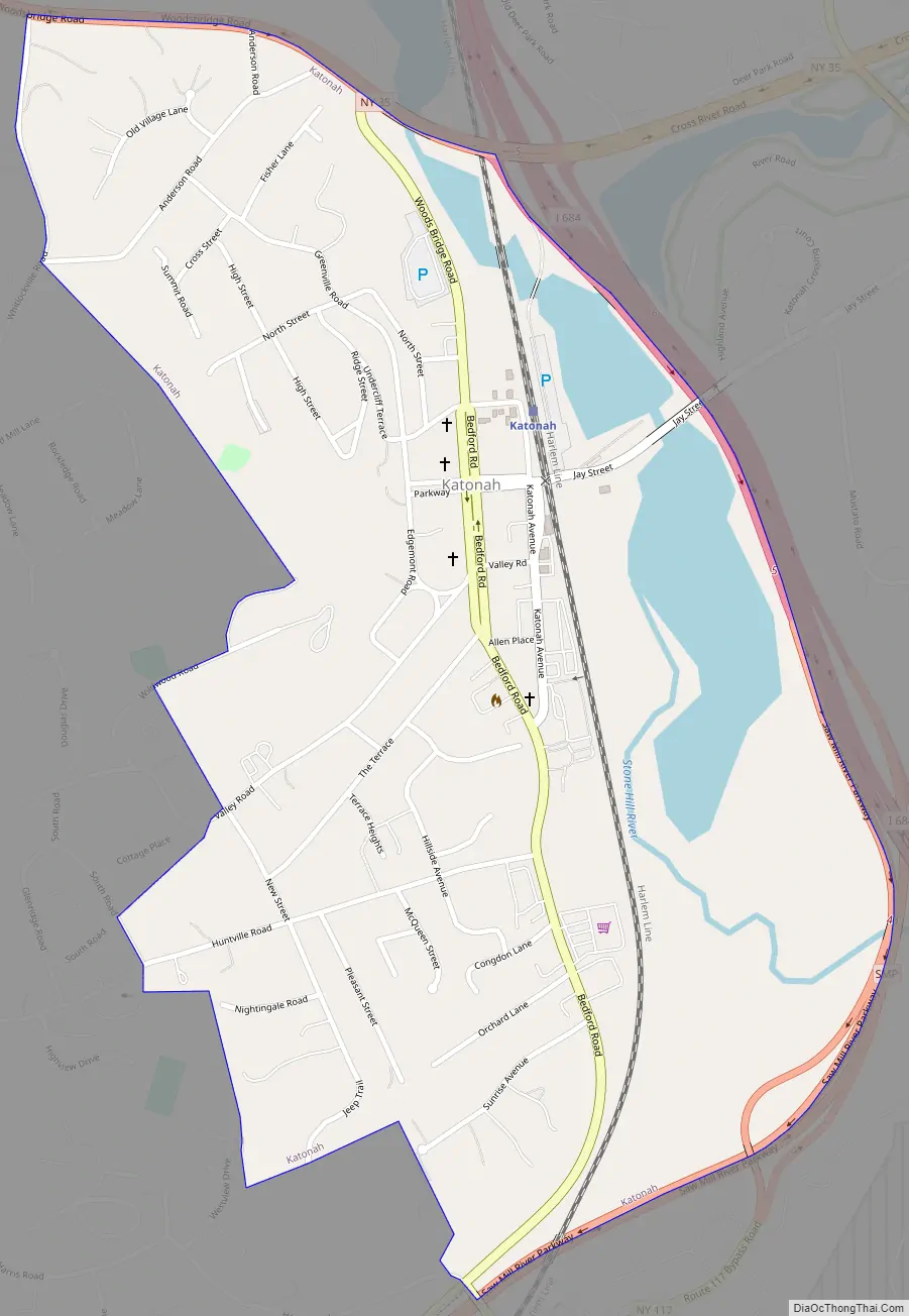
Katonah Road Map
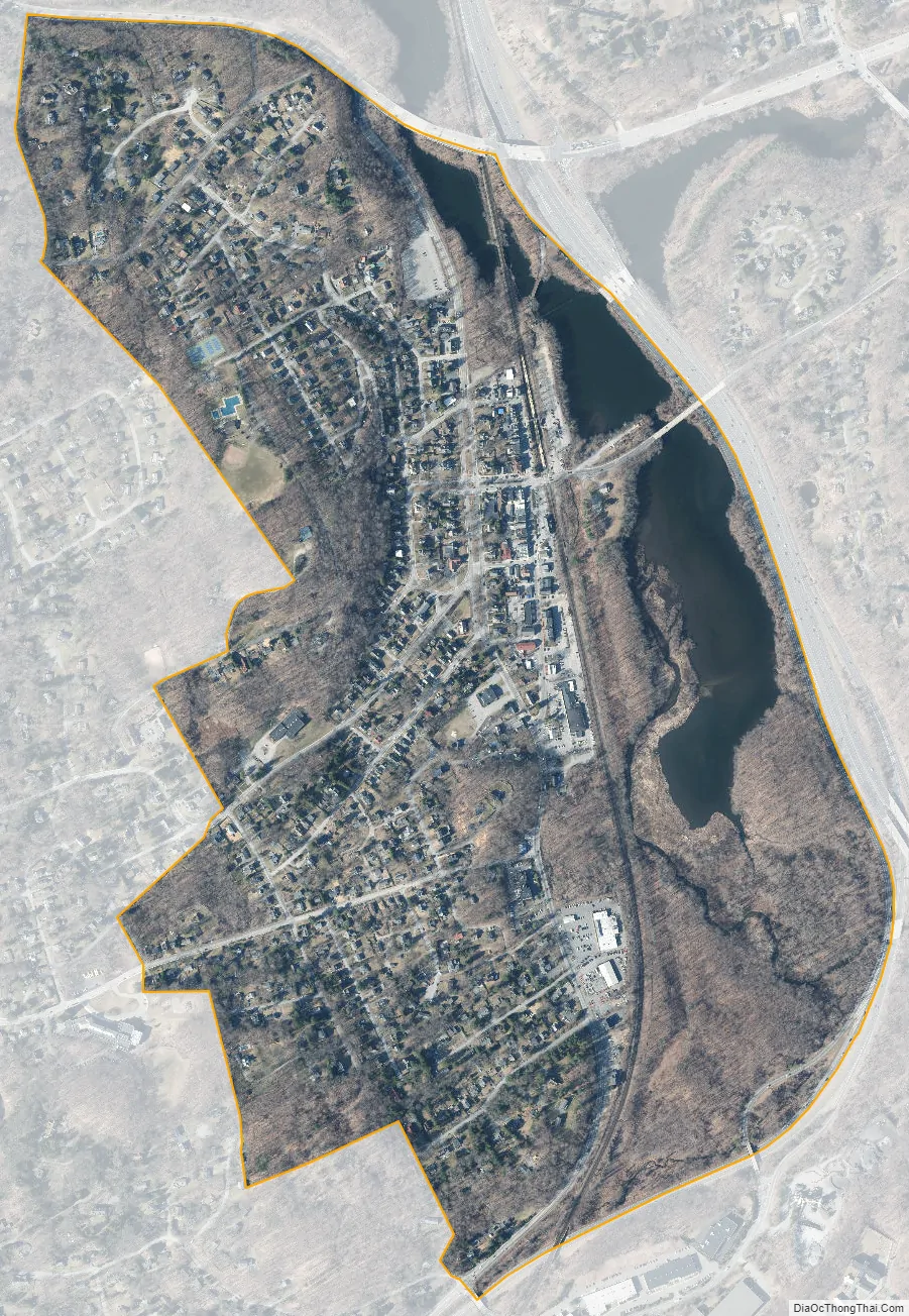
Katonah city Satellite Map
See also
Map of New York State and its subdivision:- Albany
- Allegany
- Bronx
- Broome
- Cattaraugus
- Cayuga
- Chautauqua
- Chemung
- Chenango
- Clinton
- Columbia
- Cortland
- Delaware
- Dutchess
- Erie
- Essex
- Franklin
- Fulton
- Genesee
- Greene
- Hamilton
- Herkimer
- Jefferson
- Kings
- Lake Ontario
- Lewis
- Livingston
- Madison
- Monroe
- Montgomery
- Nassau
- New York
- Niagara
- Oneida
- Onondaga
- Ontario
- Orange
- Orleans
- Oswego
- Otsego
- Putnam
- Queens
- Rensselaer
- Richmond
- Rockland
- Saint Lawrence
- Saratoga
- Schenectady
- Schoharie
- Schuyler
- Seneca
- Steuben
- Suffolk
- Sullivan
- Tioga
- Tompkins
- Ulster
- Warren
- Washington
- Wayne
- Westchester
- Wyoming
- Yates
- Alabama
- Alaska
- Arizona
- Arkansas
- California
- Colorado
- Connecticut
- Delaware
- District of Columbia
- Florida
- Georgia
- Hawaii
- Idaho
- Illinois
- Indiana
- Iowa
- Kansas
- Kentucky
- Louisiana
- Maine
- Maryland
- Massachusetts
- Michigan
- Minnesota
- Mississippi
- Missouri
- Montana
- Nebraska
- Nevada
- New Hampshire
- New Jersey
- New Mexico
- New York
- North Carolina
- North Dakota
- Ohio
- Oklahoma
- Oregon
- Pennsylvania
- Rhode Island
- South Carolina
- South Dakota
- Tennessee
- Texas
- Utah
- Vermont
- Virginia
- Washington
- West Virginia
- Wisconsin
- Wyoming


