Lackawanna is a city in Erie County, New York, United States, just south of the city of Buffalo in western New York State. The population was 19,949 at the 2020 census. It is one of the fastest-growing cities in New York, growing in population by 10% from 2010 to 2020. It is part of the Buffalo-Niagara Falls metropolitan area. The city of Lackawanna is in the southwestern part of Erie County.
The town’s name derives from the Lackawanna Steel Company, which owned the steel plant around which the city developed. During the early 20th century, the Lackawanna steel plant was the largest in the world. The word “Lackawanna” refers to the steel company’s original location in the river valley of the same name, in eastern Pennsylvania. That place name, in turn, might come from Lenape lèkaohane, meaning “sandy stream”, or lechauhanne, [lɛxaohánɛk], meaning “forks of the river”.
| Name: | Lackawanna city |
|---|---|
| LSAD Code: | 25 |
| LSAD Description: | city (suffix) |
| State: | New York |
| County: | Erie County |
| Elevation: | 623 ft (190 m) |
| Land Area: | 6.55 sq mi (16.96 km²) |
| Water Area: | 0.05 sq mi (0.13 km²) |
| Population Density: | 3,046.58/sq mi (1,176.36/km²) |
| ZIP code: | 14218 |
| Area code: | 716 |
| FIPS code: | 3640189 |
| GNISfeature ID: | 0954863 |
| Website: | www.lackawannany.gov |
Online Interactive Map
Click on ![]() to view map in "full screen" mode.
to view map in "full screen" mode.
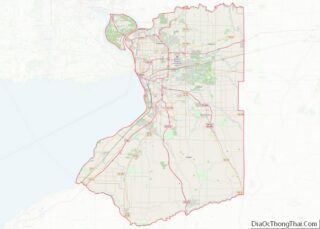
Lackawanna location map. Where is Lackawanna city?
History
Originally part of the Buffalo Creek Reservation, the area was not open to settlement until 1842 when the Seneca Indians sold it. In 1851 the town of Seneca was formed; the name was changed to West Seneca in 1852. The area now known as Lackawanna was then called West Seneca or Limestone Hill.
Lackawanna was a center of steel manufacture throughout most of the 20th century. In 1899, the Lackawanna Steel Company, based in Scranton, Pennsylvania since its founding, purchased all the land along the West Seneca shore of Lake Erie. Construction was started in 1900 and the Lackawanna Steel Company relocated to the area in 1902. The plant began operations in 1903. In 1909, the area’s residents voted to split from West Seneca, forming the city of Lackawanna.
With most of the city’s workers employed by Lackawanna Steel, city affairs often revolved around events at the mill. Several attempts to organize a labor union at the mill resulted in violence. In 1910, a strike was broken by mounted police, who killed one worker. In 1919, steel workers formed a union again and joined the nationwide Steel strike of 1919. The workers were joined by sympathy strikes in adjacent companies, and two picketing workers were killed by company guards. Although the strike lasted into the summer of 1920, well after the national strike had ended, the union failed to win recognition from the company. As a result of the strike, Lackawanna elected a Socialist mayor, John H. Gibbons. After another violent strike in 1941, the CIO finally succeeded in negotiating a contract for the Lackawanna steel workers.
In 1922, the Bethlehem Steel Company acquired the Lackawanna Steel Company. With the 20th-century growth of the Bethlehem Steel plant, at one time the largest in the world, came the continued growth of the city and its institutions. At its peak, the plant employed 20,000 people. It attracted immigrants from many lands to settle and make their homes. Due to industrial restructuring in the latter half of the 20th century and arbitrary property tax assessment increases levied on the plant by the city, the steel plant declined in business and eventually closed in 1983, following massive job layoffs.
In the 21st century, efforts have been made to develop the former steel plant brownfields to other uses. The site has a diversity of tenants, some occupying buildings remaining from the former steel plant and a few in newer buildings. Opponents say that the brownfield is not safe and that alleged contamination of the field has caused cancer and other medical issues. United States Environmental Protection Agency reports are still ongoing and contested.
As part of redevelopment, wind turbines were built on the former Bethlehem Steel property in 2007. These initial eight 2.5 megawatt turbines will provide power for up to 9,000 households and are considered a sustainable energy source.
The Buffalo Harbor South Entrance Light was listed on the National Register of Historic Places in 2007.
On November 9, 2016, a major fire broke out at the former galvanizing plant of the Bethlehem Steel complex.
Railroads
The Delaware, Lackawanna and Western Railroad, originally the Lackawanna and Western Railroad, operated from 1851 to 1960. In 1960 it was consolidated with the Erie Railroad to become the Erie Lackawanna Railway. This operated until 1976, when it was absorbed by Conrail.
Notable court case
The city of Lackawanna was the defendant in the 1971 district court decision Kennedy-Park Homes Association v. City of Lackawanna. This decision forbade the municipal government (Lackawanna) from interfering with the construction of a low-income housing development in a predominantly white section of the city. The court ruled such action would amount to racial discrimination.
The Lackawanna Six
The Lackawanna Six (also known as the Buffalo Six) are a group of Yemeni Americans convicted of providing “material support” to Al-Qaeda. The group was accused of traveling to Afghanistan and Pakistan in the spring of 2001 to attend terrorist training camps. The men had claimed that their travel was to Pakistan only, and for the purpose of religious instruction.
The group was arrested in Lackawanna on September 13, 2002, by the FBI. A member of the Lackawanna Cell, Jaber A. Elbaneh, never returned to the U.S. after his trip to Afghanistan. In September 2003 the FBI announced a $5 million reward for information leading to his arrest. Captured by Yemen police, he was convicted and sentenced to a prison in Yemen for involvement in the 2002 bombing of the French oil tanker Limburg off the coast of Yemen. The remaining members of the group pleaded guilty in December 2003 and were given various sentences in federal prison.
Jaber Elbaneh escaped from a Yemeni prison in 2006 after joining a successful group prison break. He was identified as one of 23 people, 12 of them Al-Qaeda members, who escaped on February 3, 2006. On February 23, 2006, the FBI confirmed the escape, as they issued a national press release naming Elbaneh to the FBI Most Wanted Terrorists list. On May 20, 2007, Elbaneh turned himself in to Yemen authorities on the condition that his prison sentence would not be extended. The incident of the Lackawanna Six has tarnished the city’s reputation, but it is recovering.
In July 2009, it was reported that prior to authorities sending in 130 federal and local members of the Western New York Joint Terrorism Task Force, there were suggestions that federal troops be used to capture the suspects. At the time, Vice President Dick Cheney and Defense Secretary Donald Rumsfeld believed that the Yemeni men should be declared enemy combatants and could have been tried by a military tribunal. President Bush rejected this proposal, and the arrests proceeded without incident.
Lackawanna Road Map
Lackawanna city Satellite Map
Geography
The city has an area of 6.6 square miles (17.1 km), of which 0.04 square miles (0.1 km), or 0.75%, is water. Lackawanna sits on Lake Erie, although the Bethlehem Steel facility’s remnants occupy the waterfront. Smokes Creek (named after Seneca Indian Chief Sayenqueraghta who was nicknamed “Old Smoke”) runs through the city before it discharges into Lake Erie.
Abbott Road is a major road that runs north–south through the city. Ridge Road is a main east–west road in the city.
Adjacent cities and towns
- City of Buffalo—north
- Town of West Seneca—east
- Town of Orchard Park—southeast
- Town of Hamburg—south
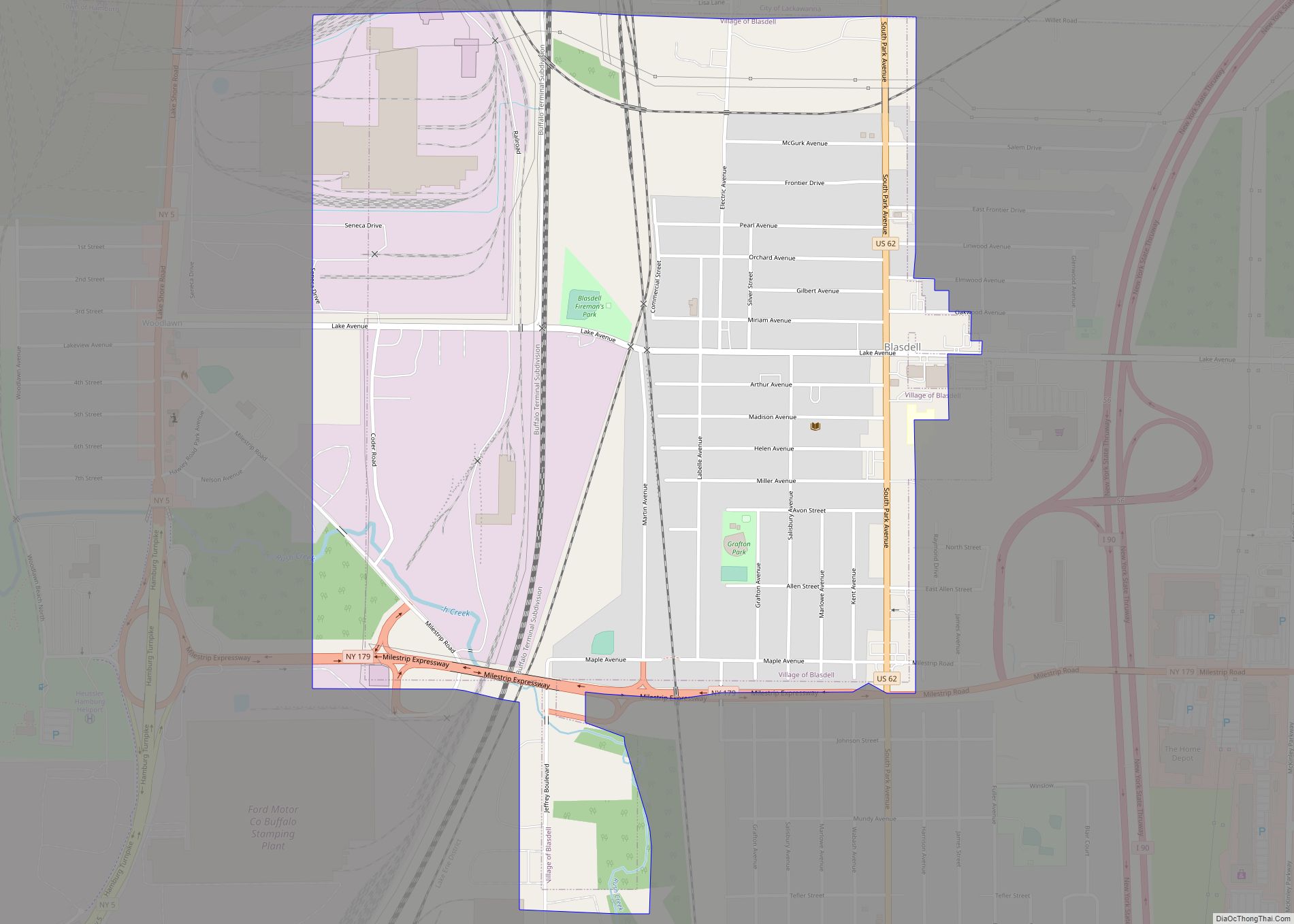
- Village of Blasdell—south
- Lake Erie—west
Major highways
- Interstate 90 (New York State Thruway), runs through the extreme southeast corner of the city.
- U.S. Route 62 (South Park Ave.), North–south roadway that runs through the city from Buffalo into Blasdell and Hamburg.
- New York State Route 5 (Fuhrmann Blvd., Hamburg Tprk.), North-South (signed east–west) roadway through the city that runs from Hamburg to Buffalo. Busy north–south (signed east–west) route for traffic to and from Buffalo.
See also
Map of New York State and its subdivision:- Albany
- Allegany
- Bronx
- Broome
- Cattaraugus
- Cayuga
- Chautauqua
- Chemung
- Chenango
- Clinton
- Columbia
- Cortland
- Delaware
- Dutchess
- Erie
- Essex
- Franklin
- Fulton
- Genesee
- Greene
- Hamilton
- Herkimer
- Jefferson
- Kings
- Lake Ontario
- Lewis
- Livingston
- Madison
- Monroe
- Montgomery
- Nassau
- New York
- Niagara
- Oneida
- Onondaga
- Ontario
- Orange
- Orleans
- Oswego
- Otsego
- Putnam
- Queens
- Rensselaer
- Richmond
- Rockland
- Saint Lawrence
- Saratoga
- Schenectady
- Schoharie
- Schuyler
- Seneca
- Steuben
- Suffolk
- Sullivan
- Tioga
- Tompkins
- Ulster
- Warren
- Washington
- Wayne
- Westchester
- Wyoming
- Yates
- Alabama
- Alaska
- Arizona
- Arkansas
- California
- Colorado
- Connecticut
- Delaware
- District of Columbia
- Florida
- Georgia
- Hawaii
- Idaho
- Illinois
- Indiana
- Iowa
- Kansas
- Kentucky
- Louisiana
- Maine
- Maryland
- Massachusetts
- Michigan
- Minnesota
- Mississippi
- Missouri
- Montana
- Nebraska
- Nevada
- New Hampshire
- New Jersey
- New Mexico
- New York
- North Carolina
- North Dakota
- Ohio
- Oklahoma
- Oregon
- Pennsylvania
- Rhode Island
- South Carolina
- South Dakota
- Tennessee
- Texas
- Utah
- Vermont
- Virginia
- Washington
- West Virginia
- Wisconsin
- Wyoming


