Lodi is a village in Seneca County, New York, United States. The population was 291 at the 2010 census.
The Village of Lodi is in the north part of the Town of Lodi and is northwest of Ithaca, New York. It owes its name to the Italian city of Lodi.
Lodi Point State Park is west of the village on the shore of Seneca Lake.
| Name: | Lodi village |
|---|---|
| LSAD Code: | 47 |
| LSAD Description: | village (suffix) |
| State: | New York |
| County: | Seneca County |
| Incorporated: | November 14, 1925 |
| Elevation: | 1,106 ft (337 m) |
| Total Area: | 0.55 sq mi (1.43 km²) |
| Land Area: | 0.55 sq mi (1.43 km²) |
| Water Area: | 0.00 sq mi (0.01 km²) |
| Total Population: | 254 |
| Population Density: | 460.98/sq mi (177.94/km²) |
| ZIP code: | 14860 |
| Area code: | 607 |
| FIPS code: | 3643214 |
| GNISfeature ID: | 0974039 |
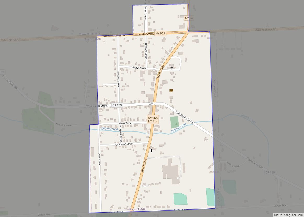
Online Interactive Map
Click on ![]() to view map in "full screen" mode.
to view map in "full screen" mode.
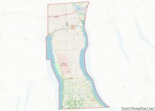
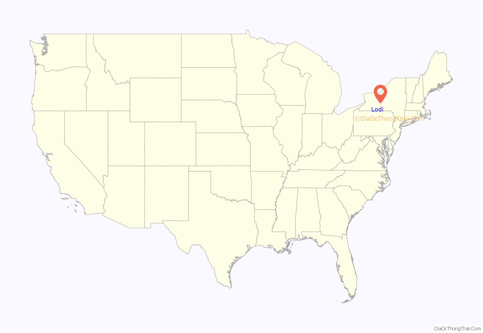
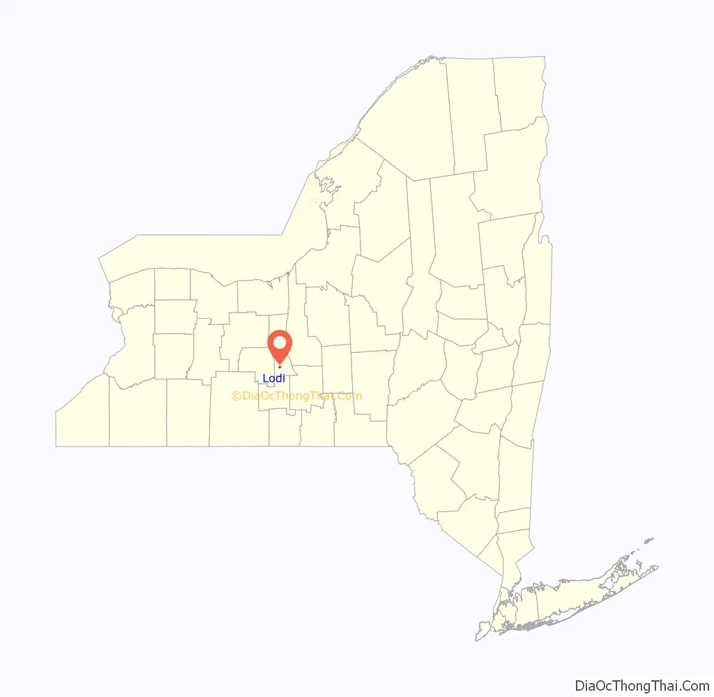
Lodi location map. Where is Lodi village?
History
This part of New York was in the territory of the Seneca tribe until the Sullivan Expedition drove them away. The area was then assigned to the Central New York Military Tract used to pay soldiers for service in the American Revolution. The Lodi Methodist Church, designed by noted church architect Warren H. Hayes (1847–1899), was listed on the National Register of Historic Places in 1982.
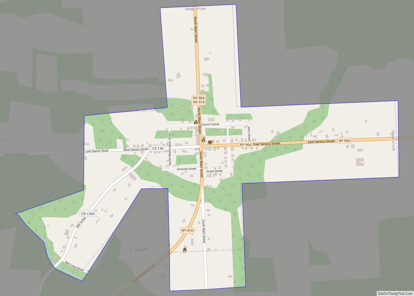
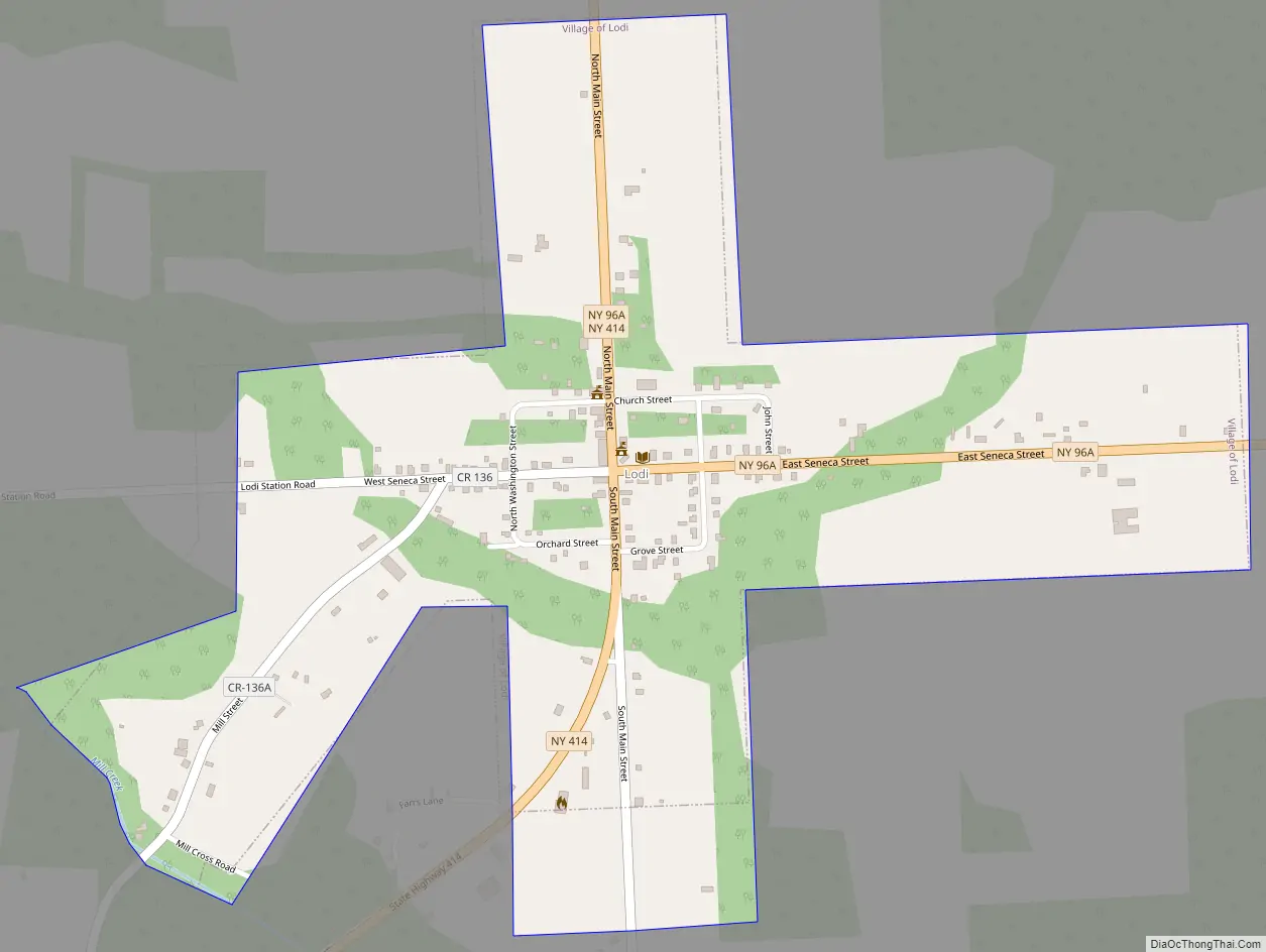
Lodi Road Map
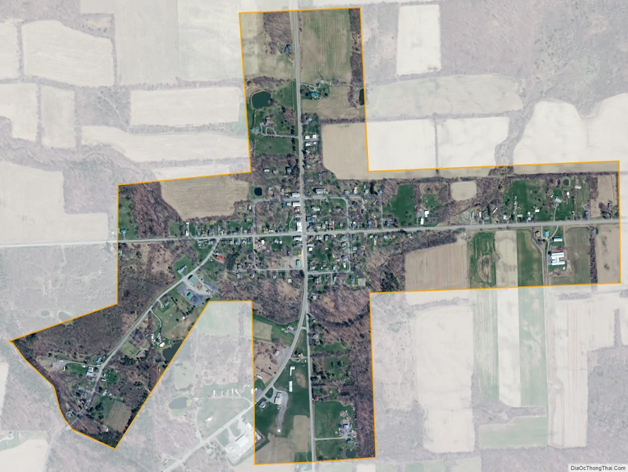
Lodi city Satellite Map
Geography
Lodi is located at 42°36′48″N 76°49′27″W / 42.613366°N 76.824082°W / 42.613366; -76.824082 (42.613366, -76.824082).
According to the United States Census Bureau, the village has a total area of 0.6 square miles (1.5 km).None of the area is covered with water.
Lodi is in the Finger Lakes District of New York.
New York State Route 96A and New York State Route 414 intersect at the village.
See also
Map of New York State and its subdivision:- Albany
- Allegany
- Bronx
- Broome
- Cattaraugus
- Cayuga
- Chautauqua
- Chemung
- Chenango
- Clinton
- Columbia
- Cortland
- Delaware
- Dutchess
- Erie
- Essex
- Franklin
- Fulton
- Genesee
- Greene
- Hamilton
- Herkimer
- Jefferson
- Kings
- Lake Ontario
- Lewis
- Livingston
- Madison
- Monroe
- Montgomery
- Nassau
- New York
- Niagara
- Oneida
- Onondaga
- Ontario
- Orange
- Orleans
- Oswego
- Otsego
- Putnam
- Queens
- Rensselaer
- Richmond
- Rockland
- Saint Lawrence
- Saratoga
- Schenectady
- Schoharie
- Schuyler
- Seneca
- Steuben
- Suffolk
- Sullivan
- Tioga
- Tompkins
- Ulster
- Warren
- Washington
- Wayne
- Westchester
- Wyoming
- Yates
- Alabama
- Alaska
- Arizona
- Arkansas
- California
- Colorado
- Connecticut
- Delaware
- District of Columbia
- Florida
- Georgia
- Hawaii
- Idaho
- Illinois
- Indiana
- Iowa
- Kansas
- Kentucky
- Louisiana
- Maine
- Maryland
- Massachusetts
- Michigan
- Minnesota
- Mississippi
- Missouri
- Montana
- Nebraska
- Nevada
- New Hampshire
- New Jersey
- New Mexico
- New York
- North Carolina
- North Dakota
- Ohio
- Oklahoma
- Oregon
- Pennsylvania
- Rhode Island
- South Carolina
- South Dakota
- Tennessee
- Texas
- Utah
- Vermont
- Virginia
- Washington
- West Virginia
- Wisconsin
- Wyoming