Mamaroneck /məˈmærənɛk/ mə-MAR-ə-nek is a village in Westchester County, New York, United States. The population was 18,929 at the 2010 census. As of 2019 its population was an estimated 19,131. It is located partially within the town of Mamaroneck and partially within the town of Rye. The portion in Rye is unofficially called “Rye Neck“. The Rye Neck Union Free School District contains the Rye Neck portion of Mamaroneck and part of the city of Rye.
| Name: | Mamaroneck village |
|---|---|
| LSAD Code: | 47 |
| LSAD Description: | village (suffix) |
| State: | New York |
| County: | Westchester County |
| Elevation: | 0 ft (0 m) |
| Total Area: | 6.62 sq mi (17.13 km²) |
| Land Area: | 3.21 sq mi (8.31 km²) |
| Water Area: | 3.41 sq mi (8.82 km²) |
| Total Population: | 20,151 |
| Population Density: | 6,279.53/sq mi (2,424.44/km²) |
| ZIP code: | 10543 |
| Area code: | 914 |
| FIPS code: | 3644831 |
| GNISfeature ID: | 0977362 |
Online Interactive Map
Click on ![]() to view map in "full screen" mode.
to view map in "full screen" mode.
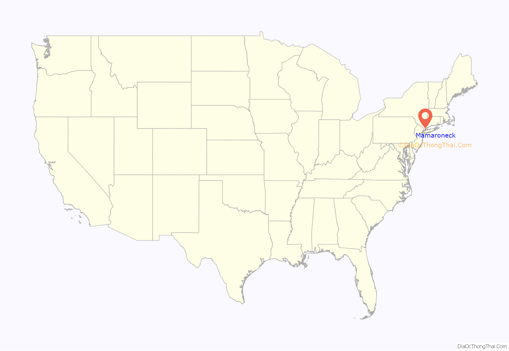
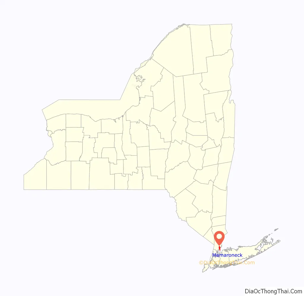
Mamaroneck location map. Where is Mamaroneck village?
History
Originally, the farming community of Mamaroneck was located on two sides of the Mamaroneck River. In the 1890s, the two areas surrounding the river were joined into one commercial village, Mamaroneck, which was incorporated in 1895. The eastern side of the village lies in the town of Rye and is known as Rye Neck. Some controversy surrounded the incorporation of the village, but the State Appellate Court approved the village’s election status. The population of Mamaroneck village in 1895 was 1,500.
Along with the other shore communities of Westchester, Mamaroneck was at one time the location of summer residences for wealthy families from New York City. Summer residence neighborhoods included Greenhaven, Orienta and Shore Acres. The local railroad from New York City (now Metro-North) began to serve the village in 1848. Currently, the village of Mamaroneck is a commuter town for individuals working in Manhattan. A harbor on the Long Island Sound supports facilities for pleasure boating and is the location of Harbor Island Park, a large public park with beach and sporting facilities.
The main commercial streets in Mamaroneck are the Boston Post Road (U.S. Route 1) and Mamaroneck Avenue, the site of several annual parades. Local industry is centered on Fenimore Road.
Other areas of the town include Heathcote Hill, overlooking the harbor, Harbor Heights (the heights) to the northeast, Old Rye Neck (settled in the 1880s), Rye Neck (settled in the 1920s and 1930s), Orienta, and Washingtonville, better known as “The Flats”, due to the flat, low-lying topography of the area.
Historic sites on National register of Historic Places (NRHP)
- Mamaroneck Methodist Church
- St. Thomas’ Episcopal Church Complex
- Walter’s Hot Dog Stand
- Mamaroneck’s “Skinny House”
- Albert E. and Emily Wilson House
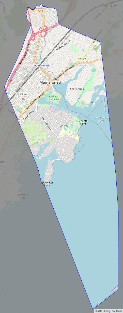
Mamaroneck Road Map
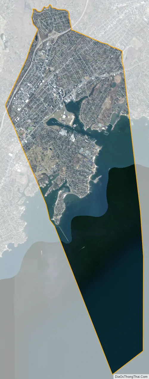
Mamaroneck city Satellite Map
Geography
According to the United States Census Bureau, the village has a total area of 6.7 square miles (17 km), of which 3.2 square miles (8.3 km) is land and 3.5 square miles (9.1 km), or 52%, is water.
See also
Map of New York State and its subdivision:- Albany
- Allegany
- Bronx
- Broome
- Cattaraugus
- Cayuga
- Chautauqua
- Chemung
- Chenango
- Clinton
- Columbia
- Cortland
- Delaware
- Dutchess
- Erie
- Essex
- Franklin
- Fulton
- Genesee
- Greene
- Hamilton
- Herkimer
- Jefferson
- Kings
- Lake Ontario
- Lewis
- Livingston
- Madison
- Monroe
- Montgomery
- Nassau
- New York
- Niagara
- Oneida
- Onondaga
- Ontario
- Orange
- Orleans
- Oswego
- Otsego
- Putnam
- Queens
- Rensselaer
- Richmond
- Rockland
- Saint Lawrence
- Saratoga
- Schenectady
- Schoharie
- Schuyler
- Seneca
- Steuben
- Suffolk
- Sullivan
- Tioga
- Tompkins
- Ulster
- Warren
- Washington
- Wayne
- Westchester
- Wyoming
- Yates
- Alabama
- Alaska
- Arizona
- Arkansas
- California
- Colorado
- Connecticut
- Delaware
- District of Columbia
- Florida
- Georgia
- Hawaii
- Idaho
- Illinois
- Indiana
- Iowa
- Kansas
- Kentucky
- Louisiana
- Maine
- Maryland
- Massachusetts
- Michigan
- Minnesota
- Mississippi
- Missouri
- Montana
- Nebraska
- Nevada
- New Hampshire
- New Jersey
- New Mexico
- New York
- North Carolina
- North Dakota
- Ohio
- Oklahoma
- Oregon
- Pennsylvania
- Rhode Island
- South Carolina
- South Dakota
- Tennessee
- Texas
- Utah
- Vermont
- Virginia
- Washington
- West Virginia
- Wisconsin
- Wyoming


