Millerton is a village in Dutchess County, New York, United States with a population of 903 at the 2020 census. The village was named after Sidney Miller, a rail contractor who helped bring the railroad to that area.
Millerton is part of the Poughkeepsie-Newburgh-Middletown Metropolitan Statistical Area of New York as well as the larger New York-Newark–Bridgeport NY–NJ–CT–PA Combined Statistical Area.
Millerton was named one of “The Ten Coolest Small Towns in America” by Frommer’s Budget Travel Magazine in 2007, and has been featured in the New York Times article “Williamsburg on the Hudson”.
Millerton is within the town of North East and is near Taconic State Park and the Connecticut border.
| Name: | Millerton village |
|---|---|
| LSAD Code: | 47 |
| LSAD Description: | village (suffix) |
| State: | New York |
| County: | Dutchess County |
| Incorporated: | 1875 |
| Elevation: | 709 ft (216 m) |
| Total Area: | 0.62 sq mi (1.60 km²) |
| Land Area: | 0.62 sq mi (1.60 km²) |
| Water Area: | 0.00 sq mi (0.01 km²) |
| Total Population: | 903 |
| Population Density: | 1,465.91/sq mi (565.64/km²) |
| ZIP code: | 12546 |
| FIPS code: | 3647361 |
| GNISfeature ID: | 0957337 |
| Website: | www.villageofmillerton.net |
Online Interactive Map
Click on ![]() to view map in "full screen" mode.
to view map in "full screen" mode.
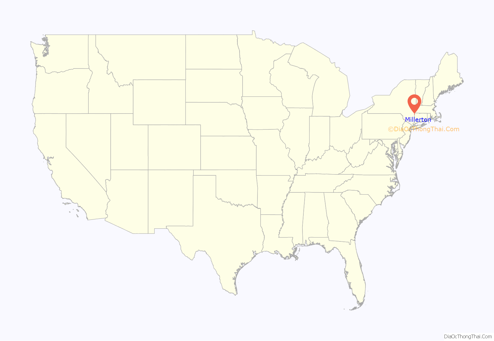
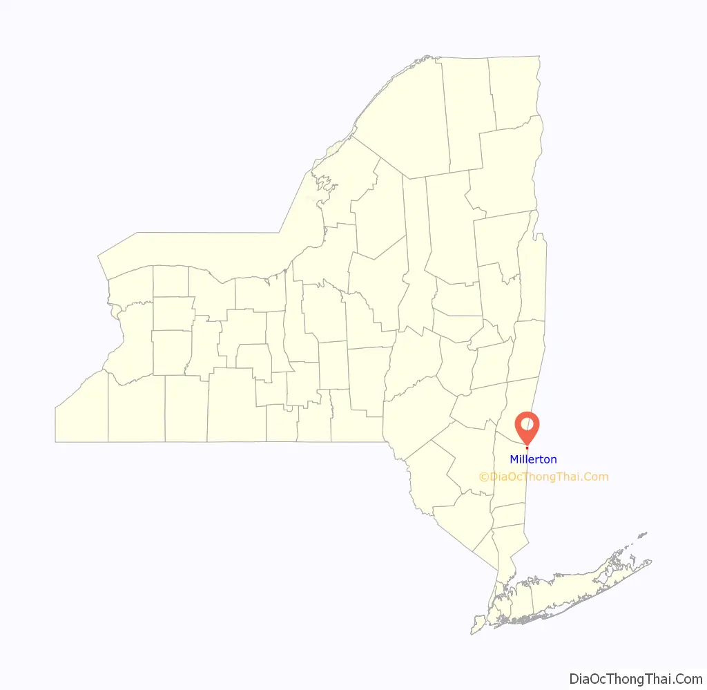
Millerton location map. Where is Millerton village?
History
The community of Millerton formed after 1851, and the village was incorporated in 1875.
Irondale
The Millerton Iron Company established itself nearby in an area known as Irondale and was served by a telegraph address in Millerton. The foundry had two Cooper hot blast stoves and produced car-wheel pig iron (cast iron for railcar wheels) with a 12,000 ton capacity in 1890. The plant was established in 1854 and by 1882 employed approximately 150 people. Irondale was served by a general store, company owned grist mill, and post office. A historical marker commemorates the Irondales Cemetery (List of New York State Historic Markers in Dutchess County, New York).
Economic cycle and development
Millerton’s life cycle is explained in the New York Times article “Williamsburg on the Hudson” from the perspective of a lifelong-citizen, Phil Terni, who has lived in Millerton for more than 65 years. Terni describes Millerton’s early prosperity as “an agricultural crossroads with three hotels served by three railroads”, and then described the village’s decline as the milk processing plant shut down and the farms had started shutting down.
Millerton’s revival as “a rural village with urban influences from nearby towns and boroughs” is shown through the vibrant arts, culture and new small businesses along U.S. Route 44.
This revival has not been inclusive of everyone, however; many residents – from generational families to newer residents – have been priced out of the area due to gentrification within the village and rising home prices. There is also a lack of living wage jobs in the area, which makes living in the village further out of reach.
Services are somewhat limited; there is no grocery store within the village, and many of the businesses cater to tourism and are not amenities that low or middle income residents can use.
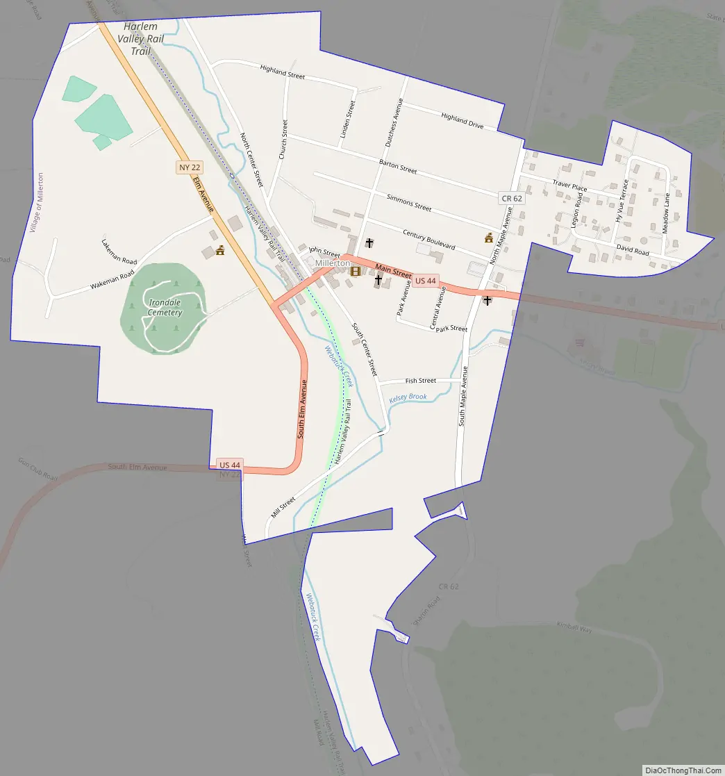
Millerton Road Map
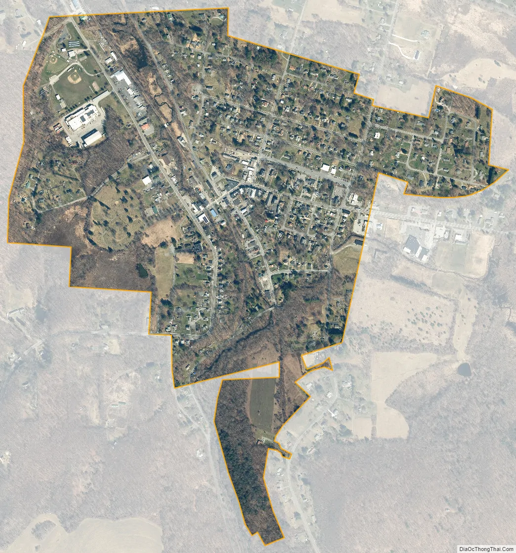
Millerton city Satellite Map
Geography
Millerton is located in northeastern Dutchess County. According to the United States Census Bureau, the village has a total area of 0.62 square miles (1.6 km), of which 0.00 square miles (0.01 km), or 0.50%, is water.
The closest rail station is now Wassaic station to the south. The town formerly had its own station on the Harlem Line.
See also
Map of New York State and its subdivision:- Albany
- Allegany
- Bronx
- Broome
- Cattaraugus
- Cayuga
- Chautauqua
- Chemung
- Chenango
- Clinton
- Columbia
- Cortland
- Delaware
- Dutchess
- Erie
- Essex
- Franklin
- Fulton
- Genesee
- Greene
- Hamilton
- Herkimer
- Jefferson
- Kings
- Lake Ontario
- Lewis
- Livingston
- Madison
- Monroe
- Montgomery
- Nassau
- New York
- Niagara
- Oneida
- Onondaga
- Ontario
- Orange
- Orleans
- Oswego
- Otsego
- Putnam
- Queens
- Rensselaer
- Richmond
- Rockland
- Saint Lawrence
- Saratoga
- Schenectady
- Schoharie
- Schuyler
- Seneca
- Steuben
- Suffolk
- Sullivan
- Tioga
- Tompkins
- Ulster
- Warren
- Washington
- Wayne
- Westchester
- Wyoming
- Yates
- Alabama
- Alaska
- Arizona
- Arkansas
- California
- Colorado
- Connecticut
- Delaware
- District of Columbia
- Florida
- Georgia
- Hawaii
- Idaho
- Illinois
- Indiana
- Iowa
- Kansas
- Kentucky
- Louisiana
- Maine
- Maryland
- Massachusetts
- Michigan
- Minnesota
- Mississippi
- Missouri
- Montana
- Nebraska
- Nevada
- New Hampshire
- New Jersey
- New Mexico
- New York
- North Carolina
- North Dakota
- Ohio
- Oklahoma
- Oregon
- Pennsylvania
- Rhode Island
- South Carolina
- South Dakota
- Tennessee
- Texas
- Utah
- Vermont
- Virginia
- Washington
- West Virginia
- Wisconsin
- Wyoming


