New Hempstead is a village in the town of Ramapo, Rockland County, New York, United States. It is located north of New Square, east of Wesley Hills, south of Pomona, and west of New City. The population was 5,132 at the 2010 census. Residents utilize the Spring Valley and New City post offices.
| Name: | New Hempstead village |
|---|---|
| LSAD Code: | 47 |
| LSAD Description: | village (suffix) |
| State: | New York |
| County: | Rockland County |
| Incorporated: | March 21, 1983 |
| Total Area: | 2.85 sq mi (7.39 km²) |
| Land Area: | 2.84 sq mi (7.36 km²) |
| Water Area: | 0.01 sq mi (0.03 km²) |
| Total Population: | 5,463 |
| Population Density: | 1,922.24/sq mi (742.25/km²) |
| ZIP code: | 10977 |
| Area code: | 845 |
| FIPS code: | 3650353 |
| Website: | www.newhempstead.org |
Online Interactive Map
Click on ![]() to view map in "full screen" mode.
to view map in "full screen" mode.
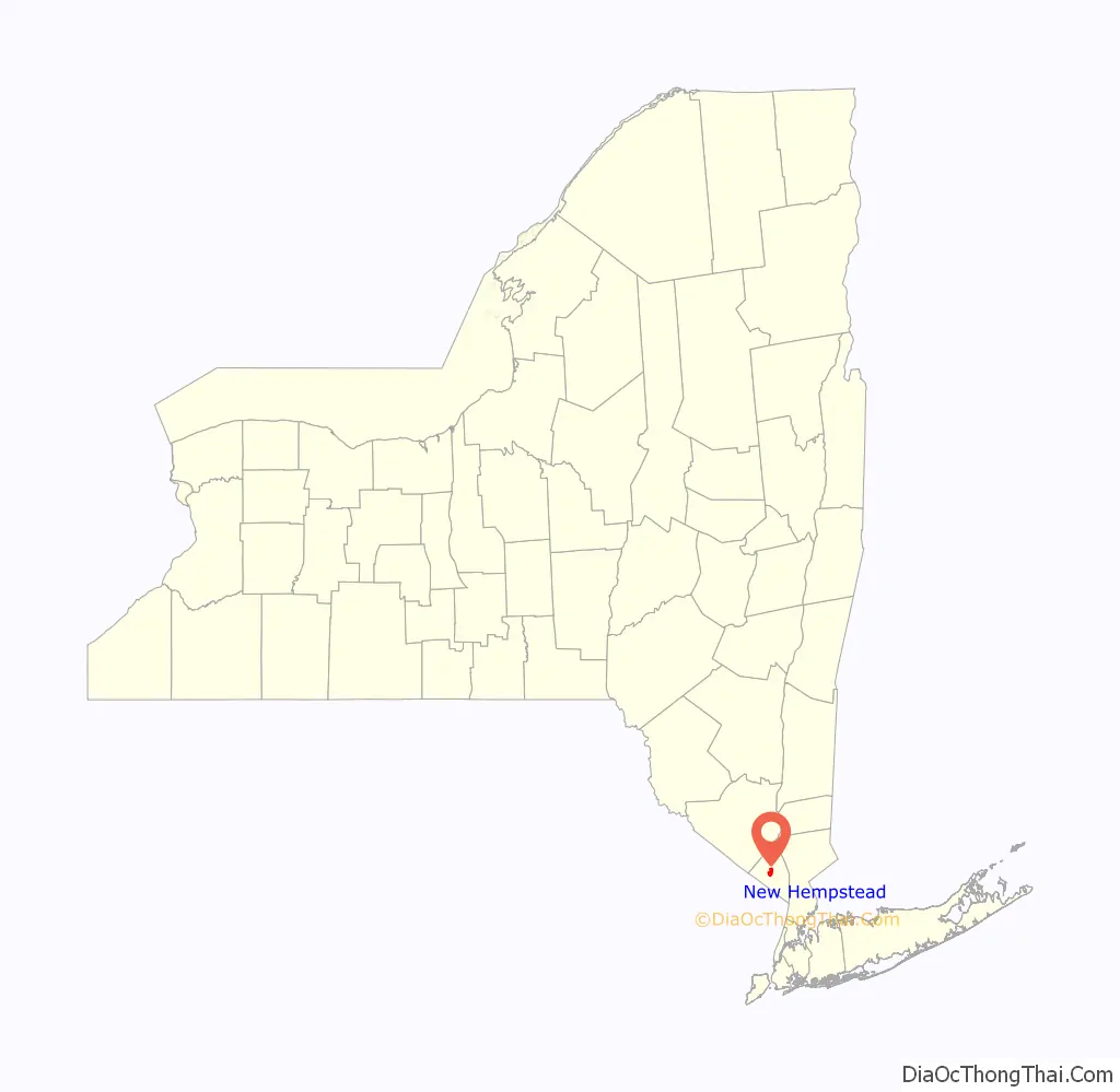
New Hempstead location map. Where is New Hempstead village?

History
New Hempstead was incorporated on March 21, 1983. Joseph Berger of the New York Times said in a 1997 article that New Hempstead was one of several villages formed in Ramapo by non-Jews and more secular Jews “to preserve the sparse Better Homes and Garden [sic] ambiance that attracted them to Rockland County.”
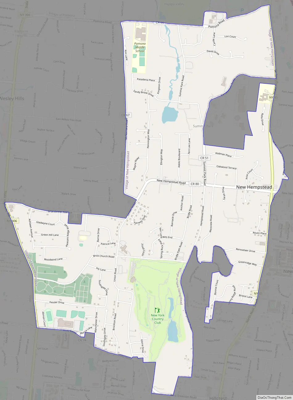
New Hempstead Road Map
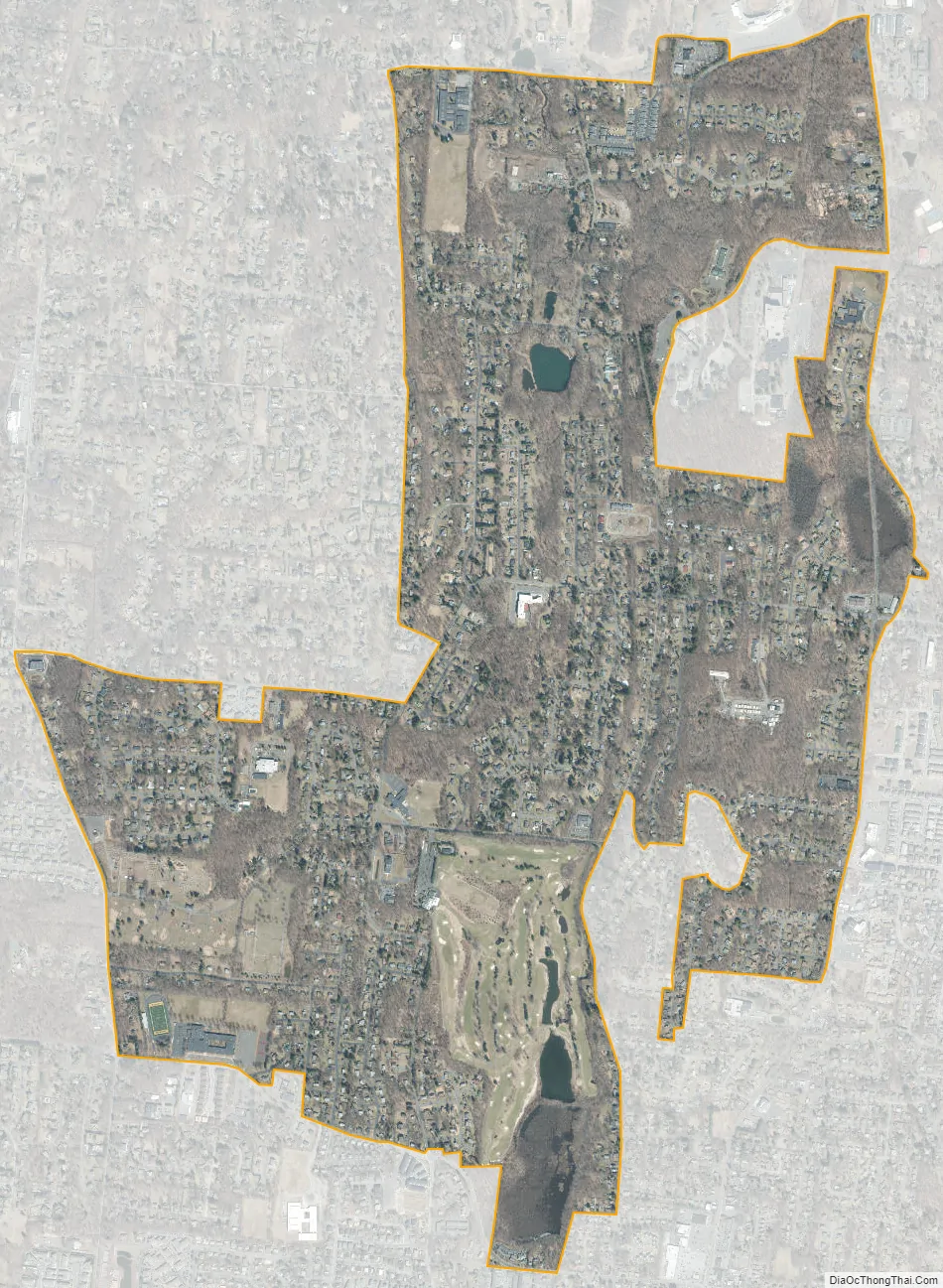
New Hempstead city Satellite Map
Geography
New Hempstead is located at 41°8′45″N 74°2′48″W / 41.14583°N 74.04667°W / 41.14583; -74.04667 (41.145945, -74.046641).
According to the United States Census Bureau, the village has a total area of 2.8 square miles (7.3 km), of which 2.8 square miles (7.3 km) is land and .35% is water.
New Hempstead is located roughly 14 miles (23 km) north of the Tappan Zee Bridge and roughly 30 miles (48 km) northeast of New York City.
See also
Map of New York State and its subdivision:- Albany
- Allegany
- Bronx
- Broome
- Cattaraugus
- Cayuga
- Chautauqua
- Chemung
- Chenango
- Clinton
- Columbia
- Cortland
- Delaware
- Dutchess
- Erie
- Essex
- Franklin
- Fulton
- Genesee
- Greene
- Hamilton
- Herkimer
- Jefferson
- Kings
- Lake Ontario
- Lewis
- Livingston
- Madison
- Monroe
- Montgomery
- Nassau
- New York
- Niagara
- Oneida
- Onondaga
- Ontario
- Orange
- Orleans
- Oswego
- Otsego
- Putnam
- Queens
- Rensselaer
- Richmond
- Rockland
- Saint Lawrence
- Saratoga
- Schenectady
- Schoharie
- Schuyler
- Seneca
- Steuben
- Suffolk
- Sullivan
- Tioga
- Tompkins
- Ulster
- Warren
- Washington
- Wayne
- Westchester
- Wyoming
- Yates
- Alabama
- Alaska
- Arizona
- Arkansas
- California
- Colorado
- Connecticut
- Delaware
- District of Columbia
- Florida
- Georgia
- Hawaii
- Idaho
- Illinois
- Indiana
- Iowa
- Kansas
- Kentucky
- Louisiana
- Maine
- Maryland
- Massachusetts
- Michigan
- Minnesota
- Mississippi
- Missouri
- Montana
- Nebraska
- Nevada
- New Hampshire
- New Jersey
- New Mexico
- New York
- North Carolina
- North Dakota
- Ohio
- Oklahoma
- Oregon
- Pennsylvania
- Rhode Island
- South Carolina
- South Dakota
- Tennessee
- Texas
- Utah
- Vermont
- Virginia
- Washington
- West Virginia
- Wisconsin
- Wyoming


