Otisville is a village in Orange County, New York, United States. The population was 969 at the 2020 census. It is part of the Poughkeepsie–Newburgh–Middletown, NY Metropolitan Statistical Area as well as the larger New York–Newark–Bridgeport, NY-NJ–CT–PA Combined Statistical Area.
The village of Otisville is in the town of Mount Hope, located near the western town line.
The mayor of Otisville is Brian Wona.
The name “Otisville” also refers to Federal Correctional Institution, Otisville and Otisville Correctional Facility, a state prison, both located nearby. There is also the station on Metro-North’s Port Jervis Line.
| Name: | Otisville village |
|---|---|
| LSAD Code: | 47 |
| LSAD Description: | village (suffix) |
| State: | New York |
| County: | Orange County |
| Elevation: | 853 ft (260 m) |
| Total Area: | 0.76 sq mi (1.98 km²) |
| Land Area: | 0.76 sq mi (1.98 km²) |
| Water Area: | 0.00 sq mi (0.00 km²) |
| Total Population: | 969 |
| Population Density: | 1,268.32/sq mi (489.59/km²) |
| ZIP code: | 10963 |
| Area code: | 845 |
| FIPS code: | 3655673 |
| GNISfeature ID: | 0959548 |
Online Interactive Map
Click on ![]() to view map in "full screen" mode.
to view map in "full screen" mode.
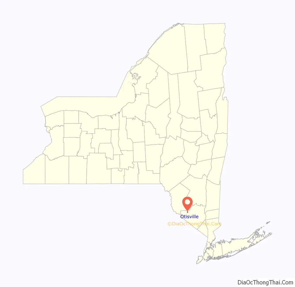
Otisville location map. Where is Otisville village?

History
The community was settled in 1816. The community was named after Isaac Otis, an early settler and local merchant.
A former sanitarium located near the village is now a New York state prison. The sanitarium became a boys’ training school for the state, and served as such until some time in the 1970s, when it was transformed into a N.Y. State prison facility. A boys’ training school was another name for a reform school for male juvenile delinquents.
Otisville Road Map
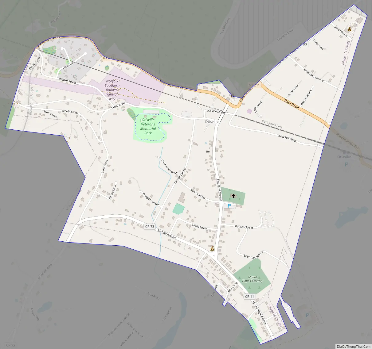
Otisville city Satellite Map

Geography
Otisville is located at 41°28′15″N 74°32′22″W / 41.47083°N 74.53944°W / 41.47083; -74.53944 (41.470714, -74.539463).
According to the United States Census Bureau, the village has a total area of 0.7 square miles (1.8 km), all land.
Otisville is located at the intersection of New York State Route 211 and County Route 11.
See also
Map of New York State and its subdivision:- Albany
- Allegany
- Bronx
- Broome
- Cattaraugus
- Cayuga
- Chautauqua
- Chemung
- Chenango
- Clinton
- Columbia
- Cortland
- Delaware
- Dutchess
- Erie
- Essex
- Franklin
- Fulton
- Genesee
- Greene
- Hamilton
- Herkimer
- Jefferson
- Kings
- Lake Ontario
- Lewis
- Livingston
- Madison
- Monroe
- Montgomery
- Nassau
- New York
- Niagara
- Oneida
- Onondaga
- Ontario
- Orange
- Orleans
- Oswego
- Otsego
- Putnam
- Queens
- Rensselaer
- Richmond
- Rockland
- Saint Lawrence
- Saratoga
- Schenectady
- Schoharie
- Schuyler
- Seneca
- Steuben
- Suffolk
- Sullivan
- Tioga
- Tompkins
- Ulster
- Warren
- Washington
- Wayne
- Westchester
- Wyoming
- Yates
- Alabama
- Alaska
- Arizona
- Arkansas
- California
- Colorado
- Connecticut
- Delaware
- District of Columbia
- Florida
- Georgia
- Hawaii
- Idaho
- Illinois
- Indiana
- Iowa
- Kansas
- Kentucky
- Louisiana
- Maine
- Maryland
- Massachusetts
- Michigan
- Minnesota
- Mississippi
- Missouri
- Montana
- Nebraska
- Nevada
- New Hampshire
- New Jersey
- New Mexico
- New York
- North Carolina
- North Dakota
- Ohio
- Oklahoma
- Oregon
- Pennsylvania
- Rhode Island
- South Carolina
- South Dakota
- Tennessee
- Texas
- Utah
- Vermont
- Virginia
- Washington
- West Virginia
- Wisconsin
- Wyoming


