Painted Post is a village in Steuben County, New York. The village is in the town of Erwin, west of the city of Corning. The population was 1,809 at the 2010 census. The name comes from a Seneca carved post found by explorers at the junction of three local rivers. Corning-Painted Post Airport (7N1) is west of the village.
The former Town of Painted Post in 1836 was renamed the Town of Corning.
| Name: | Painted Post village |
|---|---|
| LSAD Code: | 47 |
| LSAD Description: | village (suffix) |
| State: | New York |
| County: | Steuben County |
| Elevation: | 942 ft (287 m) |
| Total Area: | 1.33 sq mi (3.46 km²) |
| Land Area: | 1.27 sq mi (3.30 km²) |
| Water Area: | 0.06 sq mi (0.16 km²) |
| Total Population: | 1,768 |
| Population Density: | 1,387.76/sq mi (535.75/km²) |
| ZIP code: | 14870 |
| Area code: | 607 |
| FIPS code: | 3656088 |
| GNISfeature ID: | 0959764 |
| Website: | http://villageofpaintedpost.com/ |
Online Interactive Map
Click on ![]() to view map in "full screen" mode.
to view map in "full screen" mode.
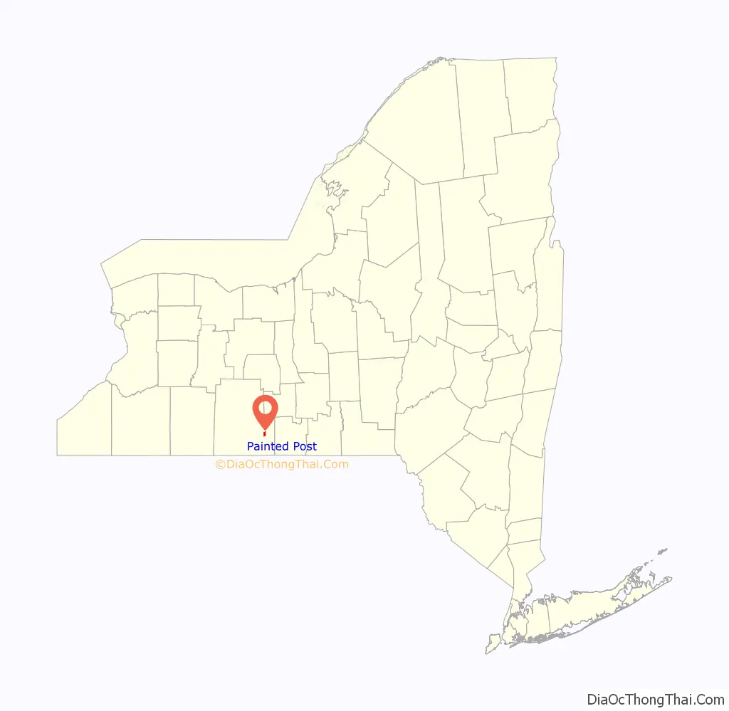
Painted Post location map. Where is Painted Post village?
History
The Senecas never had a painted post but rather the post that existed in the Painted Post area was not “painted”. The plain post had been used as a type of bulletin board and when the white settlers moved into the area they painted it. To paint this post was desecration to the Seneca people. The Seneca language word for the area was TKäen DōD, meaning “Land of the post”.
According to village records, Painted Post was established as a village in 1803. The Erwin brothers are considered the first wealthy European descended settlers to have settled in the Painted Post area in the late 18th century (Painted Post village is in the town of Erwin, named for the brothers and incorporated in 1796). The brothers’ 4 mansions are still standing. There are maps in existence dated 1796 which include Painted Post. The village was first incorporated in 1860 and officially re-incorporated in 1893. The name is derived from a historic, although probably unpainted, wooden post seen in the area at the end of the 18th century. The origin and purpose of the post remain controversial. A glyph of the post is visible on the aforementioned 1796 map.
The following footnote appears in French’s Gazetteer of New York State and gives two possible versions of the origin of the name:
In June 1972 the remnants of Hurricane Agnes stalled over the New York–Pennsylvania border, dropping up to 20 inches (500 mm) of rain into the Chemung Valley, which was among the worst hit areas by the resultant flooding. The Chemung, Tioga, and Cohocton rivers all overflowed their banks, leaving widespread areas of Painted Post as well as Corning, Big Flats, and Elmira under water and destroying many bridges.
Painted Post is featured in the Stephen Vincent Benét poem “American Names”.
The First Baptist Church of Painted Post, Delaware, Lackawanna & Western Railroad Station, and United States Post Office are listed on the National Register of Historic Places. The Painted Post post office contains a mural, Recording the Victory, painted by muralist Amy Jones in 1939. Federally commissioned murals were produced from 1934 to 1943 in the United States through the Section of Painting and Sculpture, later called the Section of Fine Arts, of the Treasury Department.
Painted Post Road Map
Painted Post city Satellite Map
Geography
According to the United States Census Bureau, the village has a total area of 1.3 square miles (3.4 km), of which 1.3 square miles (3.4 km) is land and 0.1 square miles (0.26 km) (4.51%) is water.
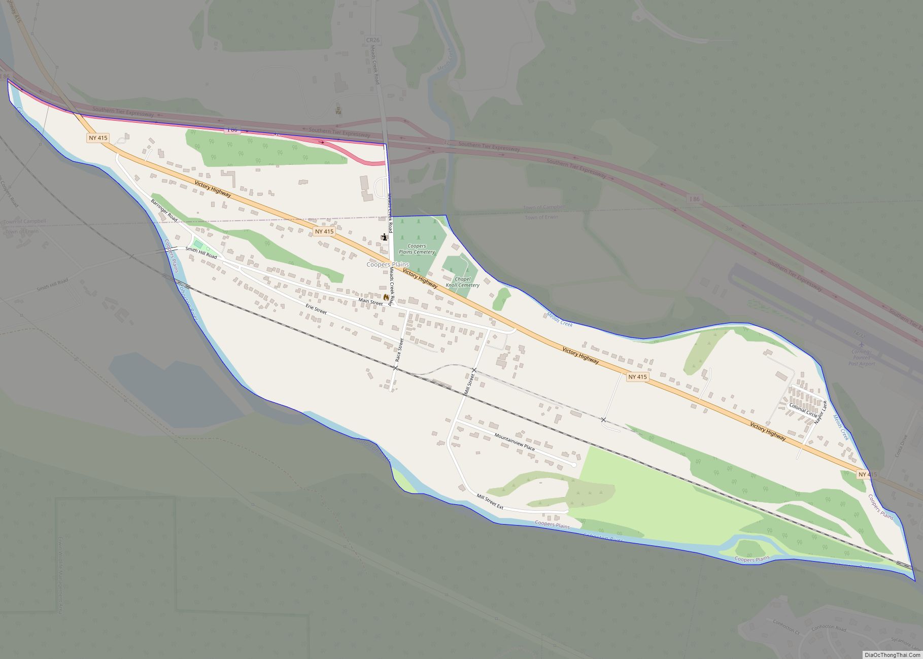
New York State Route 415 passes through the village, which also borders the Southern Tier Expressway and the Cohocton River.
Interstate 86 also passes through Painted Post, and continues on until Jamestown.
See also
Map of New York State and its subdivision:- Albany
- Allegany
- Bronx
- Broome
- Cattaraugus
- Cayuga
- Chautauqua
- Chemung
- Chenango
- Clinton
- Columbia
- Cortland
- Delaware
- Dutchess
- Erie
- Essex
- Franklin
- Fulton
- Genesee
- Greene
- Hamilton
- Herkimer
- Jefferson
- Kings
- Lake Ontario
- Lewis
- Livingston
- Madison
- Monroe
- Montgomery
- Nassau
- New York
- Niagara
- Oneida
- Onondaga
- Ontario
- Orange
- Orleans
- Oswego
- Otsego
- Putnam
- Queens
- Rensselaer
- Richmond
- Rockland
- Saint Lawrence
- Saratoga
- Schenectady
- Schoharie
- Schuyler
- Seneca
- Steuben
- Suffolk
- Sullivan
- Tioga
- Tompkins
- Ulster
- Warren
- Washington
- Wayne
- Westchester
- Wyoming
- Yates
- Alabama
- Alaska
- Arizona
- Arkansas
- California
- Colorado
- Connecticut
- Delaware
- District of Columbia
- Florida
- Georgia
- Hawaii
- Idaho
- Illinois
- Indiana
- Iowa
- Kansas
- Kentucky
- Louisiana
- Maine
- Maryland
- Massachusetts
- Michigan
- Minnesota
- Mississippi
- Missouri
- Montana
- Nebraska
- Nevada
- New Hampshire
- New Jersey
- New Mexico
- New York
- North Carolina
- North Dakota
- Ohio
- Oklahoma
- Oregon
- Pennsylvania
- Rhode Island
- South Carolina
- South Dakota
- Tennessee
- Texas
- Utah
- Vermont
- Virginia
- Washington
- West Virginia
- Wisconsin
- Wyoming

