The village of Pelham is a village in Westchester County, New York, United States. The population was 6,910 at the 2010 census. It is located in the town of Pelham, which is colloquially referred to as Pelham.
| Name: | Pelham village |
|---|---|
| LSAD Code: | 47 |
| LSAD Description: | village (suffix) |
| State: | New York |
| County: | Westchester County |
| Elevation: | 72 ft (22 m) |
| Total Area: | 0.82 sq mi (2.14 km²) |
| Land Area: | 0.82 sq mi (2.13 km²) |
| Water Area: | 0.00 sq mi (0.01 km²) |
| Total Population: | 7,326 |
| Population Density: | 8,912.41/sq mi (3,440.43/km²) |
| ZIP code: | 10803 |
| Area code: | 914 |
| FIPS code: | 3657001 |
| GNISfeature ID: | 0960106 |
| Website: | http://www.pelhamgov.com |
Online Interactive Map
Click on ![]() to view map in "full screen" mode.
to view map in "full screen" mode.
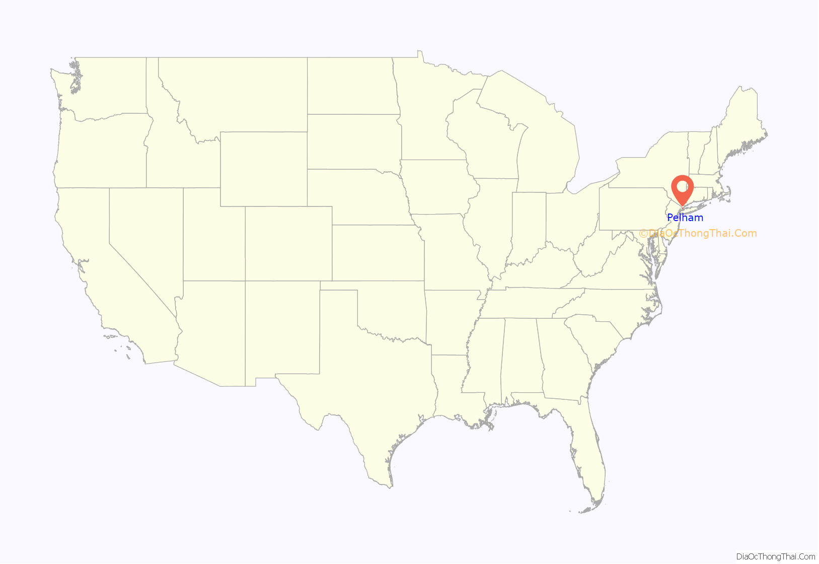
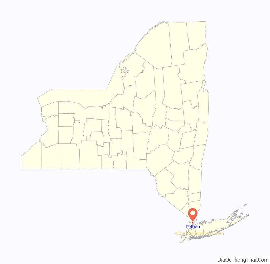
Pelham location map. Where is Pelham village?
History
On June 27, 1654, Thomas Pell purchased 9,166 acres (37.09 km) from the Native American tribe of the Siwanoys. The purchase included an area which is known today as Pelham, New Rochelle, and portions of Bronx County. Among the land that he purchased, of course, was all the land that constitutes today’s village of Pelham. Upon his death in 1669, Thomas Pell left the land to his nephew and sole heir, John Pell.
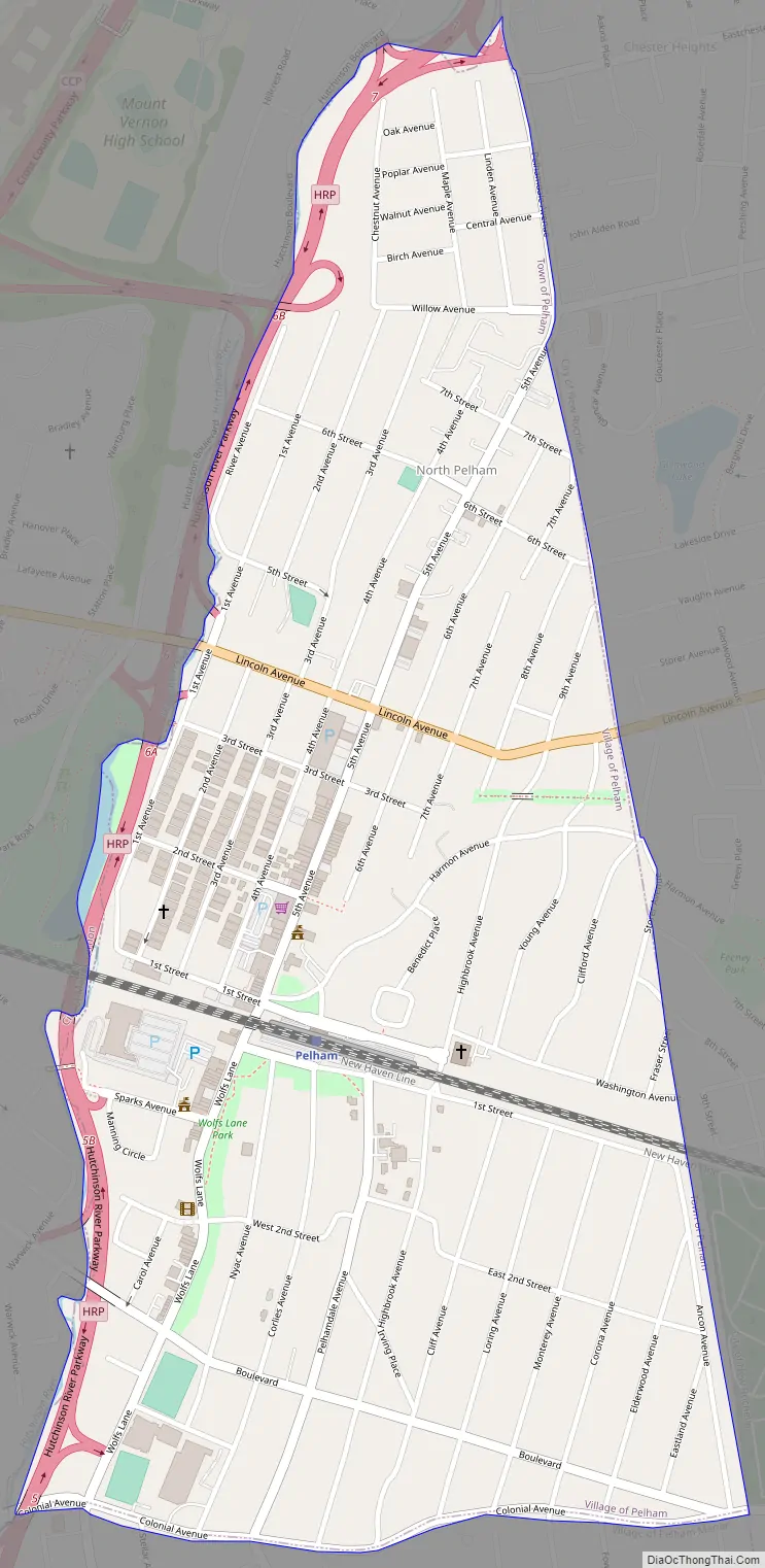
The original Village of Pelham was incorporated in 1896, bounded by the New Haven Railroad’s main line to north, Colonial Avenue to the south, New Rochelle to the east, and the Hutchinson River to the west. The Village of North Pelham was incorporated on August 29, 1896. Its boundaries were the New Haven Railroad to the south, New Rochelle to the east and northeast, and the Hutchinson River to the west and northwest. By 1940, the Village of Pelham’s population was 1,918 and the Village of North Pelham had a population of 5,046. In June 1975, the Village of North Pelham merged with the existing Village of Pelham.
Pelham Road Map
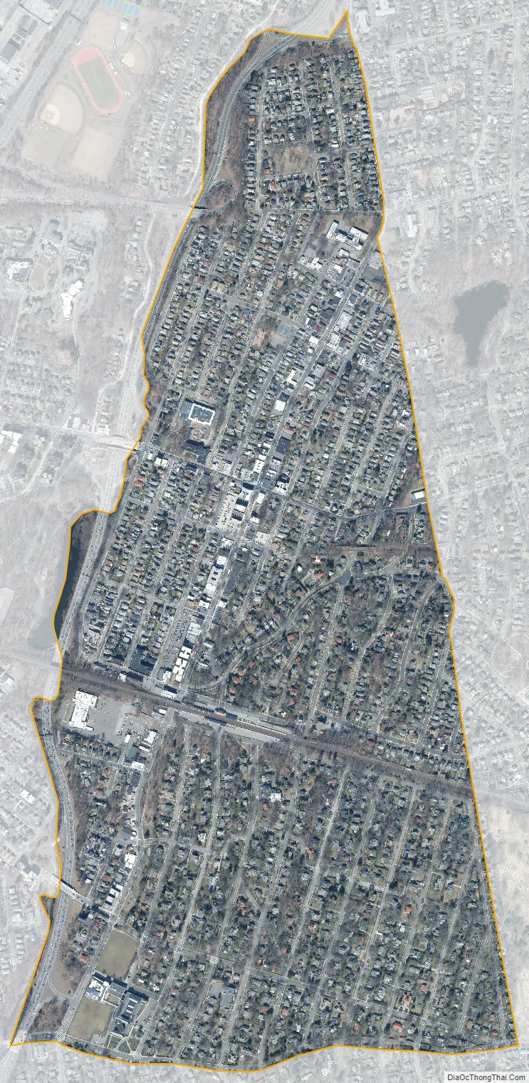
Pelham city Satellite Map
Geography
According to the United States Census Bureau, the village has a total area of 0.8 square mile (2.1 km), all land.
See also
Map of New York State and its subdivision:- Albany
- Allegany
- Bronx
- Broome
- Cattaraugus
- Cayuga
- Chautauqua
- Chemung
- Chenango
- Clinton
- Columbia
- Cortland
- Delaware
- Dutchess
- Erie
- Essex
- Franklin
- Fulton
- Genesee
- Greene
- Hamilton
- Herkimer
- Jefferson
- Kings
- Lake Ontario
- Lewis
- Livingston
- Madison
- Monroe
- Montgomery
- Nassau
- New York
- Niagara
- Oneida
- Onondaga
- Ontario
- Orange
- Orleans
- Oswego
- Otsego
- Putnam
- Queens
- Rensselaer
- Richmond
- Rockland
- Saint Lawrence
- Saratoga
- Schenectady
- Schoharie
- Schuyler
- Seneca
- Steuben
- Suffolk
- Sullivan
- Tioga
- Tompkins
- Ulster
- Warren
- Washington
- Wayne
- Westchester
- Wyoming
- Yates
- Alabama
- Alaska
- Arizona
- Arkansas
- California
- Colorado
- Connecticut
- Delaware
- District of Columbia
- Florida
- Georgia
- Hawaii
- Idaho
- Illinois
- Indiana
- Iowa
- Kansas
- Kentucky
- Louisiana
- Maine
- Maryland
- Massachusetts
- Michigan
- Minnesota
- Mississippi
- Missouri
- Montana
- Nebraska
- Nevada
- New Hampshire
- New Jersey
- New Mexico
- New York
- North Carolina
- North Dakota
- Ohio
- Oklahoma
- Oregon
- Pennsylvania
- Rhode Island
- South Carolina
- South Dakota
- Tennessee
- Texas
- Utah
- Vermont
- Virginia
- Washington
- West Virginia
- Wisconsin
- Wyoming


