Red Hook is a village in Dutchess County, New York, United States. The population was 1,961 at the 2010 census. It is part of the Poughkeepsie–Newburgh–Middletown, NY Metropolitan Statistical Area as well as the larger New York–Newark–Bridgeport, NY-NJ–CT–PA Combined Statistical Area. The name is derived from the Dutch “Roode Hoeck” – hoeck meaning peninsula, and roode meaning red – a reference to the vibrant reds in the area’s fall foliage.
The village is in the town of Red Hook, located on U.S. Route 9. Red Hook is near Bard College and the Hudson River.
| Name: | Red Hook village |
|---|---|
| LSAD Code: | 47 |
| LSAD Description: | village (suffix) |
| State: | New York |
| County: | Dutchess County |
| Elevation: | 220 ft (67 m) |
| Total Area: | 1.07 sq mi (2.77 km²) |
| Land Area: | 1.05 sq mi (2.73 km²) |
| Water Area: | 0.01 sq mi (0.03 km²) |
| Total Population: | 1,975 |
| Population Density: | 1,872.04/sq mi (723.06/km²) |
| ZIP code: | 12504, 12507, 12571 |
| Area code: | 845 |
| FIPS code: | 3660895 |
| GNISfeature ID: | 0962291 |
| Website: | redhooknyvillage.org |
Online Interactive Map
Click on ![]() to view map in "full screen" mode.
to view map in "full screen" mode.
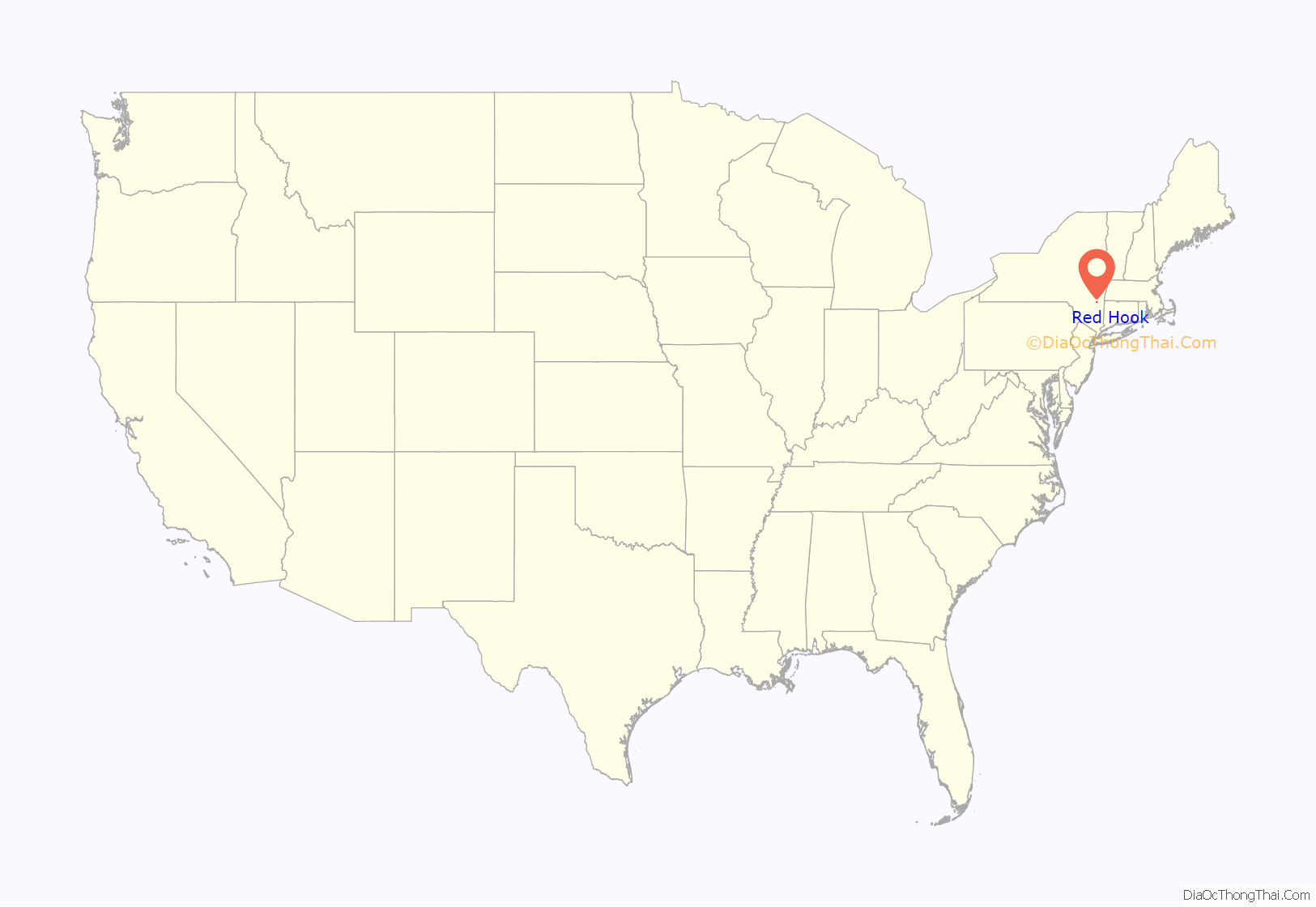
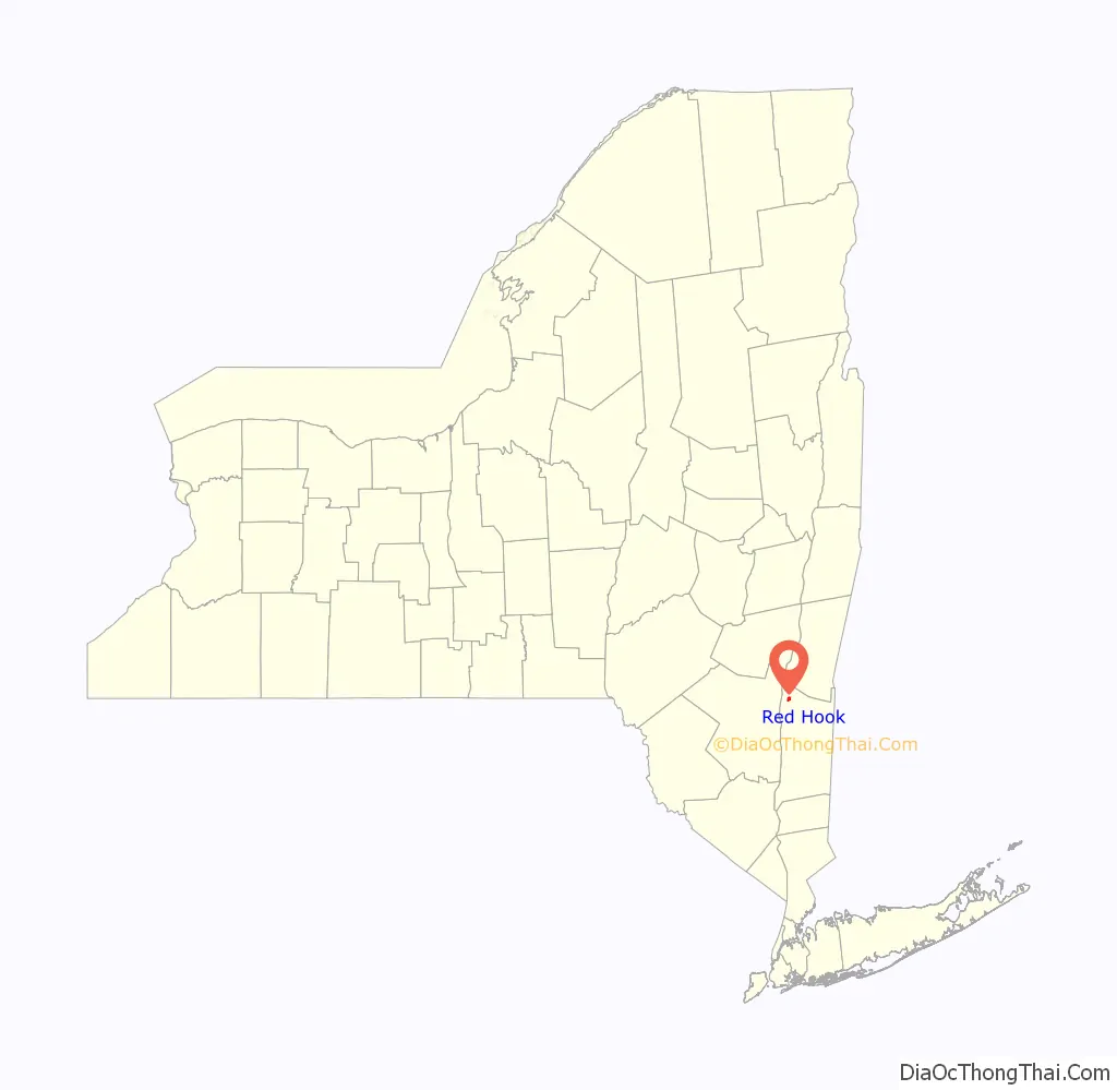
Red Hook location map. Where is Red Hook village?
History
The region was part of the Schuyler Patent. The village was formerly “Lower Red Hook” and sometimes referred to as “Hardscrabble”.
Nicholas Bonesteel and his wife, Anna Margretha Kuhns, were among the early settlers, possibly as early as 1723. A portion of the village lies on the easterly part of what once was their farm.
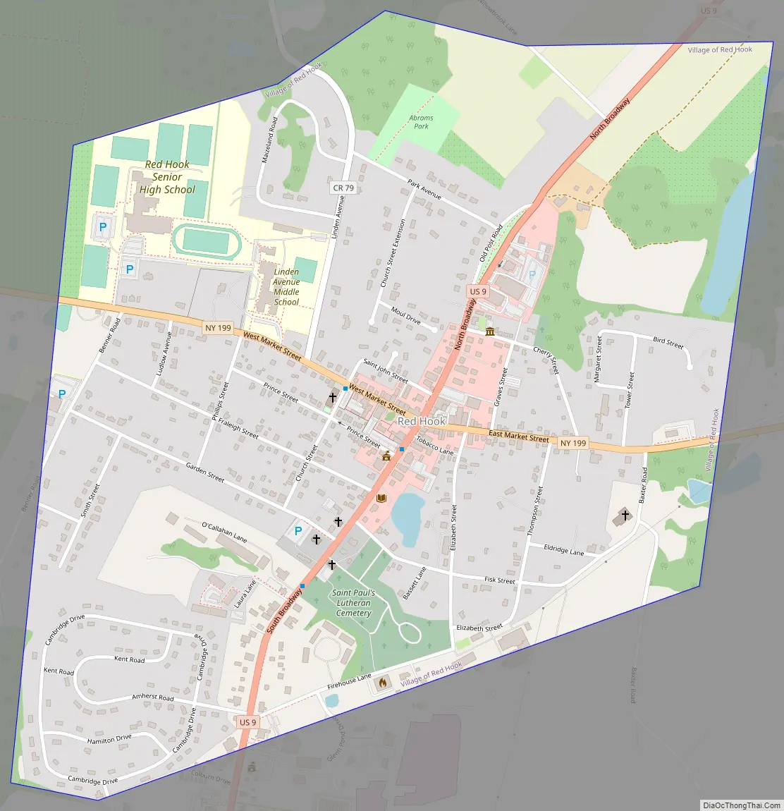
Red Hook Road Map
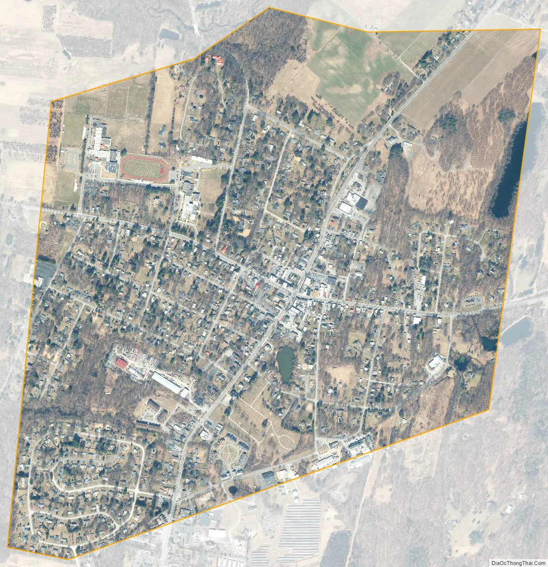
Red Hook city Satellite Map
Geography
According to the United States Census Bureau, the village has a total area of 1.1 square miles (2.9 km), of which 0.01 square miles (0.03 km), or 1.12%, is water.
See also
Map of New York State and its subdivision:- Albany
- Allegany
- Bronx
- Broome
- Cattaraugus
- Cayuga
- Chautauqua
- Chemung
- Chenango
- Clinton
- Columbia
- Cortland
- Delaware
- Dutchess
- Erie
- Essex
- Franklin
- Fulton
- Genesee
- Greene
- Hamilton
- Herkimer
- Jefferson
- Kings
- Lake Ontario
- Lewis
- Livingston
- Madison
- Monroe
- Montgomery
- Nassau
- New York
- Niagara
- Oneida
- Onondaga
- Ontario
- Orange
- Orleans
- Oswego
- Otsego
- Putnam
- Queens
- Rensselaer
- Richmond
- Rockland
- Saint Lawrence
- Saratoga
- Schenectady
- Schoharie
- Schuyler
- Seneca
- Steuben
- Suffolk
- Sullivan
- Tioga
- Tompkins
- Ulster
- Warren
- Washington
- Wayne
- Westchester
- Wyoming
- Yates
- Alabama
- Alaska
- Arizona
- Arkansas
- California
- Colorado
- Connecticut
- Delaware
- District of Columbia
- Florida
- Georgia
- Hawaii
- Idaho
- Illinois
- Indiana
- Iowa
- Kansas
- Kentucky
- Louisiana
- Maine
- Maryland
- Massachusetts
- Michigan
- Minnesota
- Mississippi
- Missouri
- Montana
- Nebraska
- Nevada
- New Hampshire
- New Jersey
- New Mexico
- New York
- North Carolina
- North Dakota
- Ohio
- Oklahoma
- Oregon
- Pennsylvania
- Rhode Island
- South Carolina
- South Dakota
- Tennessee
- Texas
- Utah
- Vermont
- Virginia
- Washington
- West Virginia
- Wisconsin
- Wyoming


