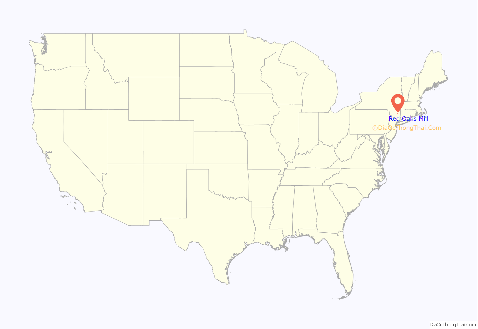
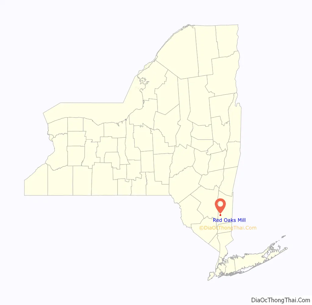
Red Oaks Mill is a hamlet and census-designated place (CDP) in Dutchess County, in the U.S. state of New York. It lies within the limits of the towns of Poughkeepsie and LaGrange. The population was 3,613 at the 2010 census.
Red Oaks Mill is southeast of the city of Poughkeepsie and can be considered a suburb of the city. It is part of the Poughkeepsie–Newburgh–Middletown, New York Metropolitan Statistical Area as well as the larger New York–Newark–Bridgeport, New York-New Jersey–Connecticut–Pennsylvania Combined Statistical Area.
| Name: | Red Oaks Mill CDP |
|---|---|
| LSAD Code: | 57 |
| LSAD Description: | CDP (suffix) |
| State: | New York |
| County: | Dutchess County |
| Elevation: | 167 ft (51 m) |
| Total Area: | 2.44 sq mi (6.31 km²) |
| Land Area: | 2.40 sq mi (6.23 km²) |
| Water Area: | 0.03 sq mi (0.08 km²) |
| Total Population: | 3,810 |
| Population Density: | 1,584.20/sq mi (611.56/km²) |
| FIPS code: | 3660983 |
| GNISfeature ID: | 0962312 |
Online Interactive Map
Click on ![]() to view map in "full screen" mode.
to view map in "full screen" mode.
Red Oaks Mill location map. Where is Red Oaks Mill CDP?
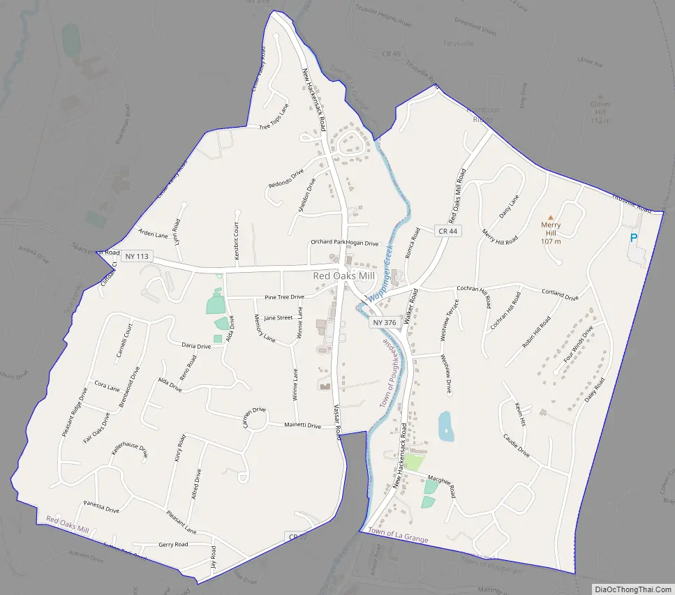
Red Oaks Mill Road Map
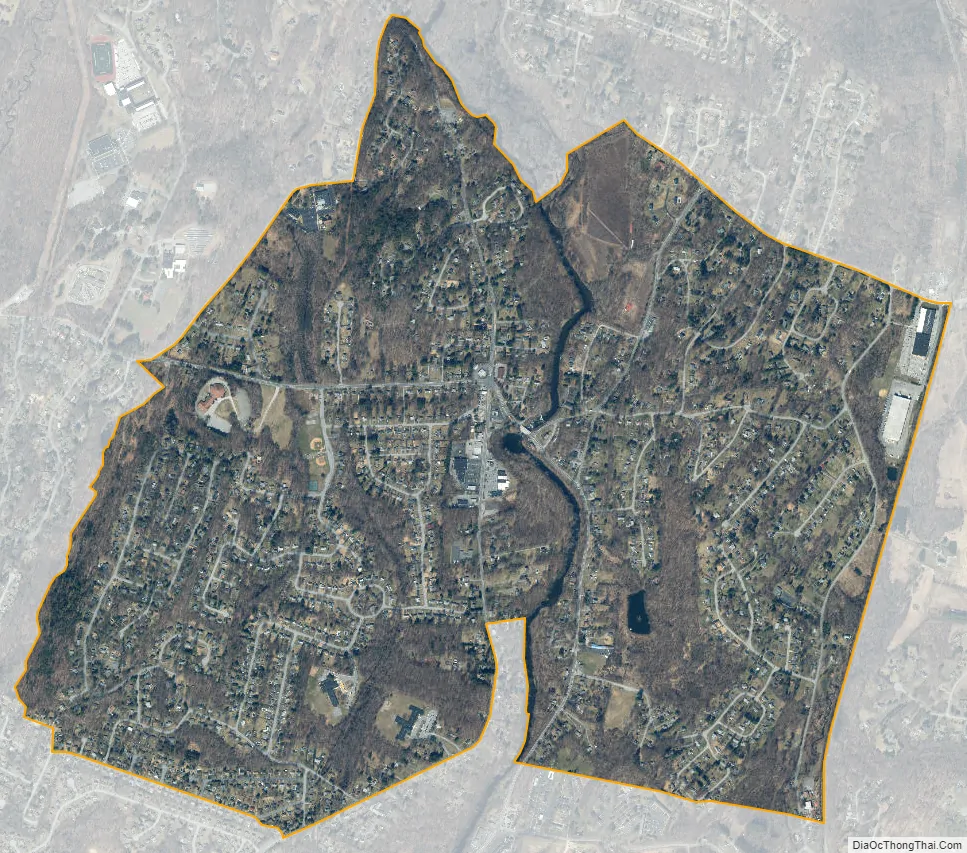
Red Oaks Mill city Satellite Map
Geography
Red Oaks Mill is located at 41°39′05″N 73°52′22″W / 41.651315°N 73.872818°W / 41.651315; -73.872818. Wappinger Creek, a tributary of the Hudson River, flows through the center of the community, forming the border between the towns of Poughkeepsie and LaGrange.
At the center of Red Oaks Mill is a complex intersection where Vassar Road (Dutchess County Route 77), New Hackensack Road (New York State Route 376), Spackenkill Road (New York State Route 113), and a small residential side road all meet. Several shopping plazas, strip malls, and other commercial properties are found at or near this intersection.
According to the United States Census Bureau, the CDP has a total area of 2.3 square miles (6.0 km), of which 0.031 square miles (0.08 km), or 1.32%, is water.
See also
Map of New York State and its subdivision:- Albany
- Allegany
- Bronx
- Broome
- Cattaraugus
- Cayuga
- Chautauqua
- Chemung
- Chenango
- Clinton
- Columbia
- Cortland
- Delaware
- Dutchess
- Erie
- Essex
- Franklin
- Fulton
- Genesee
- Greene
- Hamilton
- Herkimer
- Jefferson
- Kings
- Lake Ontario
- Lewis
- Livingston
- Madison
- Monroe
- Montgomery
- Nassau
- New York
- Niagara
- Oneida
- Onondaga
- Ontario
- Orange
- Orleans
- Oswego
- Otsego
- Putnam
- Queens
- Rensselaer
- Richmond
- Rockland
- Saint Lawrence
- Saratoga
- Schenectady
- Schoharie
- Schuyler
- Seneca
- Steuben
- Suffolk
- Sullivan
- Tioga
- Tompkins
- Ulster
- Warren
- Washington
- Wayne
- Westchester
- Wyoming
- Yates
- Alabama
- Alaska
- Arizona
- Arkansas
- California
- Colorado
- Connecticut
- Delaware
- District of Columbia
- Florida
- Georgia
- Hawaii
- Idaho
- Illinois
- Indiana
- Iowa
- Kansas
- Kentucky
- Louisiana
- Maine
- Maryland
- Massachusetts
- Michigan
- Minnesota
- Mississippi
- Missouri
- Montana
- Nebraska
- Nevada
- New Hampshire
- New Jersey
- New Mexico
- New York
- North Carolina
- North Dakota
- Ohio
- Oklahoma
- Oregon
- Pennsylvania
- Rhode Island
- South Carolina
- South Dakota
- Tennessee
- Texas
- Utah
- Vermont
- Virginia
- Washington
- West Virginia
- Wisconsin
- Wyoming


