Sidney is a village in Delaware County, New York, United States. The population was 3,900 at the 2010 census. The village is in the western part of the town of Sidney.
| Name: | Sidney village |
|---|---|
| LSAD Code: | 47 |
| LSAD Description: | village (suffix) |
| State: | New York |
| County: | Delaware County |
| Elevation: | 991 ft (302 m) |
| Total Area: | 2.42 sq mi (6.28 km²) |
| Land Area: | 2.38 sq mi (6.16 km²) |
| Water Area: | 0.04 sq mi (0.11 km²) |
| Total Population: | 3,697 |
| Population Density: | 1,553.36/sq mi (599.79/km²) |
| ZIP code: | 13838 |
| Area code: | 607 |
| FIPS code: | 3667334 |
| GNISfeature ID: | 0965212 |
| Website: | villageofsidney.org |
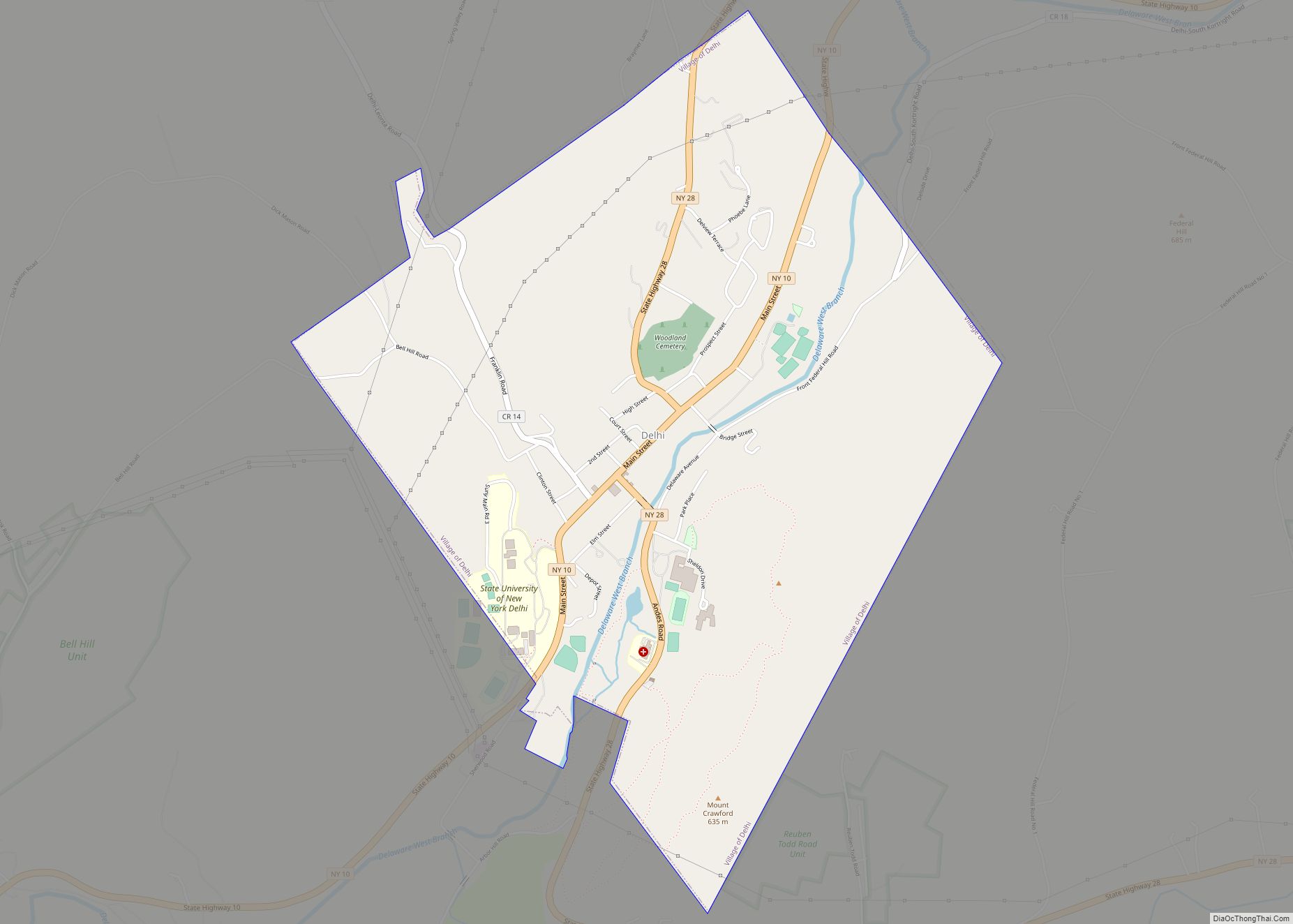
Online Interactive Map
Click on ![]() to view map in "full screen" mode.
to view map in "full screen" mode.
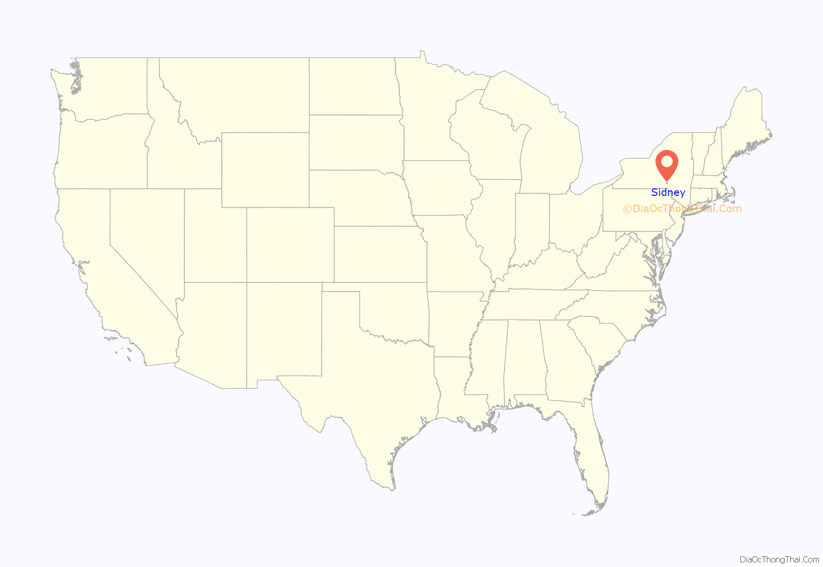
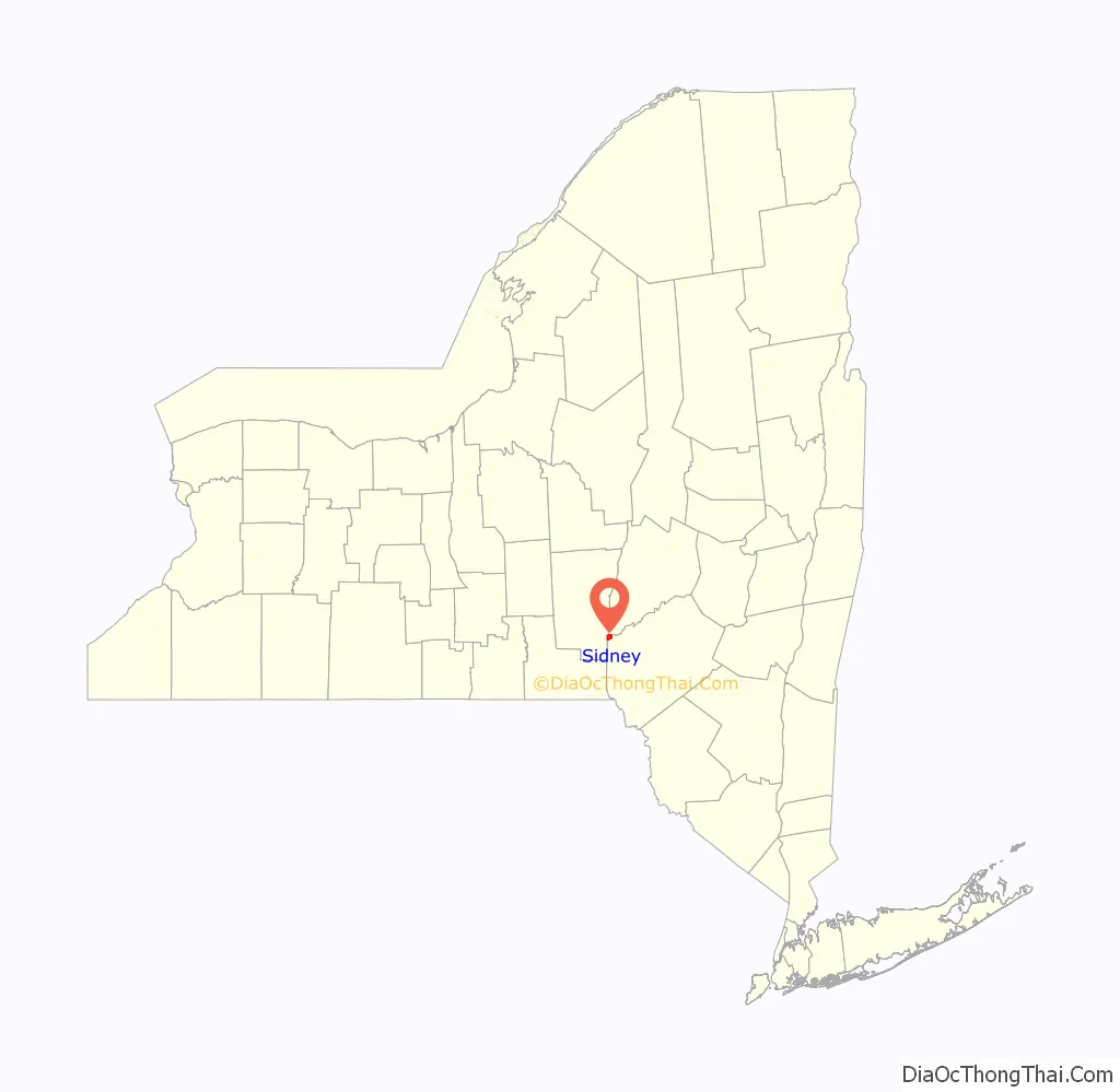
Sidney location map. Where is Sidney village?
History
The village was named for Admiral Sir Sidney Smith.
Pioneer Cemetery and the Sidney Historic District are listed on the National Register of Historic Places.
In June 2006, Sidney, along with other parts of New York and Pennsylvania, was hit by severe flooding. Carr’s Creek washed out a 50-foot-long (15 m) section of Interstate 88 east of Sidney. At around 6:20 am on Wednesday, June 28, two trucks from different directions drove into the chasm, apparently unaware of it, killing both drivers. David Swingle, 42, of Waverly, New York, who was driving westbound, was identified shortly after the accident. The eastbound trucker was Patrick O’Connell, 55, of Lisbon, Maine. His body was found downstream several days after the water receded.
The New York State Department of Transportation finished preliminary repairs on I-88 by the end of 2006. Additional construction was completed within the next year due to the settling of the highway.
The village itself was also flooded, particularly the westernmost part of the town on the south side of the Susquehanna River. Hardest hit were parts of Willow, Maple, Oak, Winegard, Bridge and River streets, some of which took on over 4 feet (1.2 m) of muddy water during the flood. Many other areas were also affected. The entire downtown area north of the railroad tracks was evacuated because of the rising levels of the Susquehanna River.
Sidney Road Map
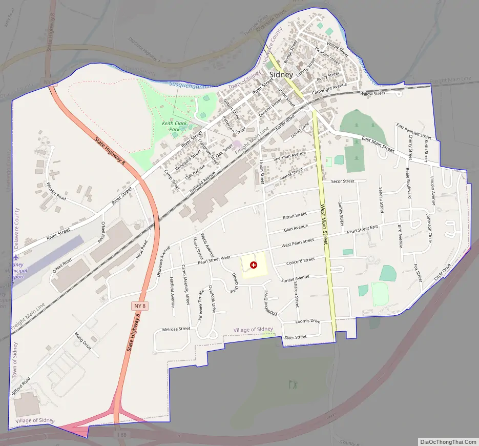
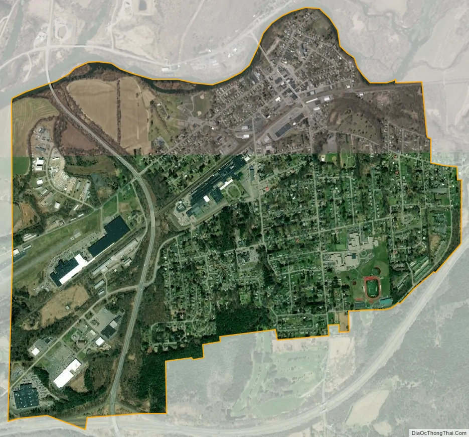
Sidney city Satellite Map
Geography
Sidney is located at the western end of the town of Sidney at 42°18′29″N 75°23′47″W / 42.30806°N 75.39639°W / 42.30806; -75.39639 (42.308175, -75.396465), on the south side of the Susquehanna River. It is in the northwest corner of Delaware County, bordered by Otsego County to the north across the Susquehanna and by Chenango County to the west.
According to the United States Census Bureau, the village of Sidney has a total area of 2.4 square miles (6.2 km), of which 0.02 square miles (0.04 km), or 0.64%, is water.
Interstate 88 passes just south of the village, with access from Exit 9 (New York State Route 8). I-88 leads northeast 23 miles (37 km) to Oneonta and southwest 36 miles (58 km) to Binghamton. Route 8 leads north 62 miles (100 km) to Utica and south 21 miles (34 km) to Deposit.
See also
Map of New York State and its subdivision:- Albany
- Allegany
- Bronx
- Broome
- Cattaraugus
- Cayuga
- Chautauqua
- Chemung
- Chenango
- Clinton
- Columbia
- Cortland
- Delaware
- Dutchess
- Erie
- Essex
- Franklin
- Fulton
- Genesee
- Greene
- Hamilton
- Herkimer
- Jefferson
- Kings
- Lake Ontario
- Lewis
- Livingston
- Madison
- Monroe
- Montgomery
- Nassau
- New York
- Niagara
- Oneida
- Onondaga
- Ontario
- Orange
- Orleans
- Oswego
- Otsego
- Putnam
- Queens
- Rensselaer
- Richmond
- Rockland
- Saint Lawrence
- Saratoga
- Schenectady
- Schoharie
- Schuyler
- Seneca
- Steuben
- Suffolk
- Sullivan
- Tioga
- Tompkins
- Ulster
- Warren
- Washington
- Wayne
- Westchester
- Wyoming
- Yates
- Alabama
- Alaska
- Arizona
- Arkansas
- California
- Colorado
- Connecticut
- Delaware
- District of Columbia
- Florida
- Georgia
- Hawaii
- Idaho
- Illinois
- Indiana
- Iowa
- Kansas
- Kentucky
- Louisiana
- Maine
- Maryland
- Massachusetts
- Michigan
- Minnesota
- Mississippi
- Missouri
- Montana
- Nebraska
- Nevada
- New Hampshire
- New Jersey
- New Mexico
- New York
- North Carolina
- North Dakota
- Ohio
- Oklahoma
- Oregon
- Pennsylvania
- Rhode Island
- South Carolina
- South Dakota
- Tennessee
- Texas
- Utah
- Vermont
- Virginia
- Washington
- West Virginia
- Wisconsin
- Wyoming