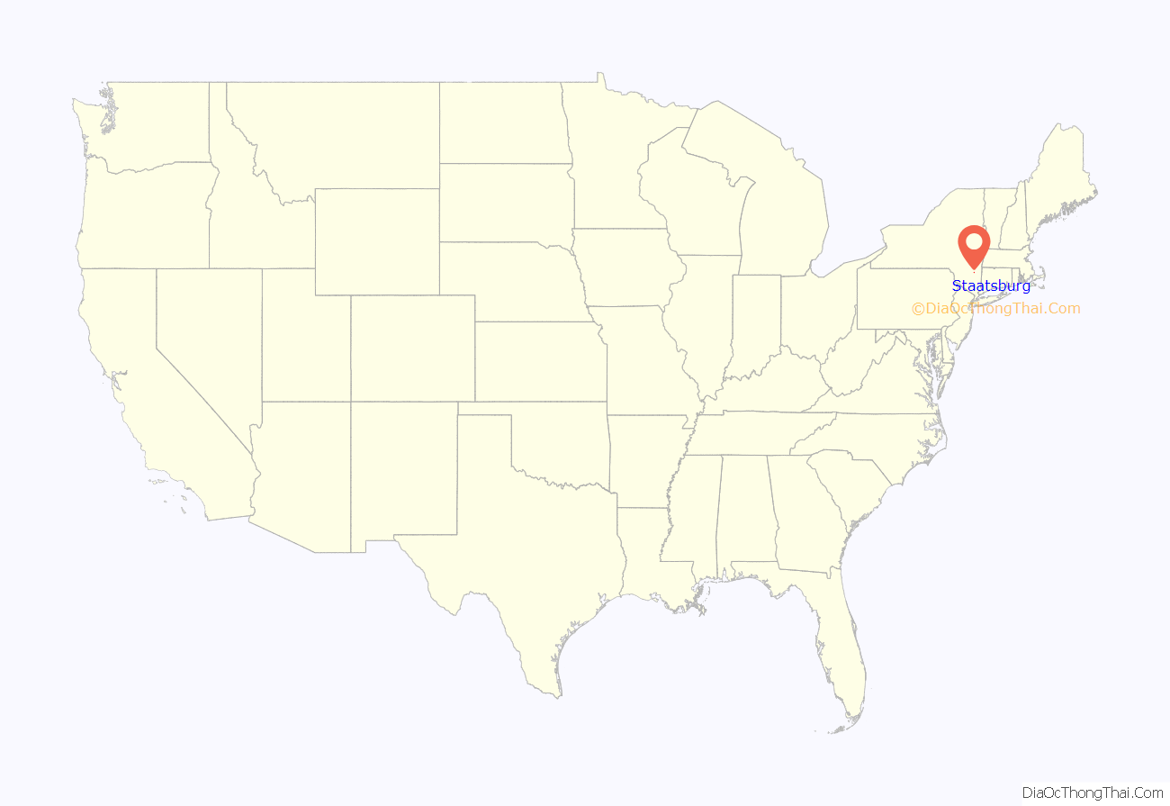
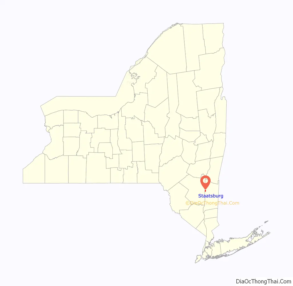
Staatsburg is a hamlet and census-designated place (CDP) in Hyde Park, a town in Dutchess County, New York, United States. The population was 377 at the 2010 census. It is part of the Poughkeepsie–Newburgh–Middletown, NY Metropolitan Statistical Area as well as the larger New York–Newark–Bridgeport, NY-NJ–CT–PA Combined Statistical Area.
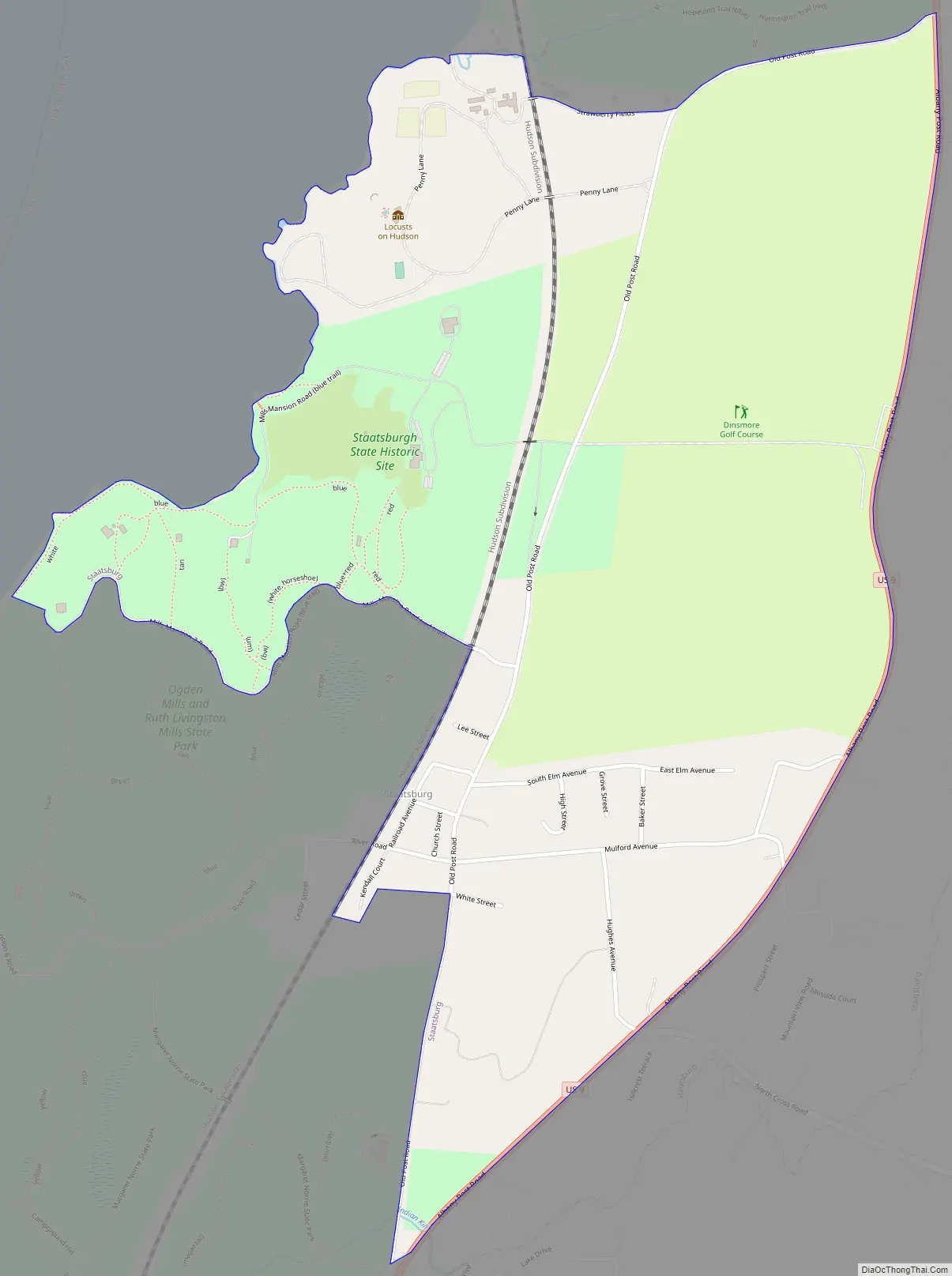
Staatsburg is located in the northwestern corner of Hyde Park and is bordered to the west by the Hudson River.
| Name: | Staatsburg CDP |
|---|---|
| LSAD Code: | 57 |
| LSAD Description: | CDP (suffix) |
| State: | New York |
| County: | Dutchess County |
| Elevation: | 30 ft (9 m) |
| Total Area: | 1.47 sq mi (3.81 km²) |
| Land Area: | 1.47 sq mi (3.80 km²) |
| Water Area: | 0.00 sq mi (0.01 km²) |
| Total Population: | 703 |
| Population Density: | 478.88/sq mi (184.86/km²) |
| ZIP code: | 12580 |
| Area code: | 845 |
| FIPS code: | 3670552 |
| GNISfeature ID: | 966187 |
Online Interactive Map
Click on ![]() to view map in "full screen" mode.
to view map in "full screen" mode.
Staatsburg location map. Where is Staatsburg CDP?
History
Staatsburg was part of the Pawling-Staats land patent, one of many granted by the English colonial government in the 1690s with the intention of encouraging more colonials to settle in the sparsely populated Hudson Valley. The original patent was made to Henry Pawling. Subsequently, a large portion of the patent was purchased by Dr. Samuel Staats, a surgeon of Dutch origins who resided in New York City. He and Dirck Vanderburgh bought it for 130 pounds from Pawling’s widow. As a result of the combination of their names, the area came to be known as “Staatsburgh”. The concluding “h” in the name appears to have been dropped in 1890 as part of the United States Board on Geographic Names’ standardization efforts.
Staatsburg Road Map
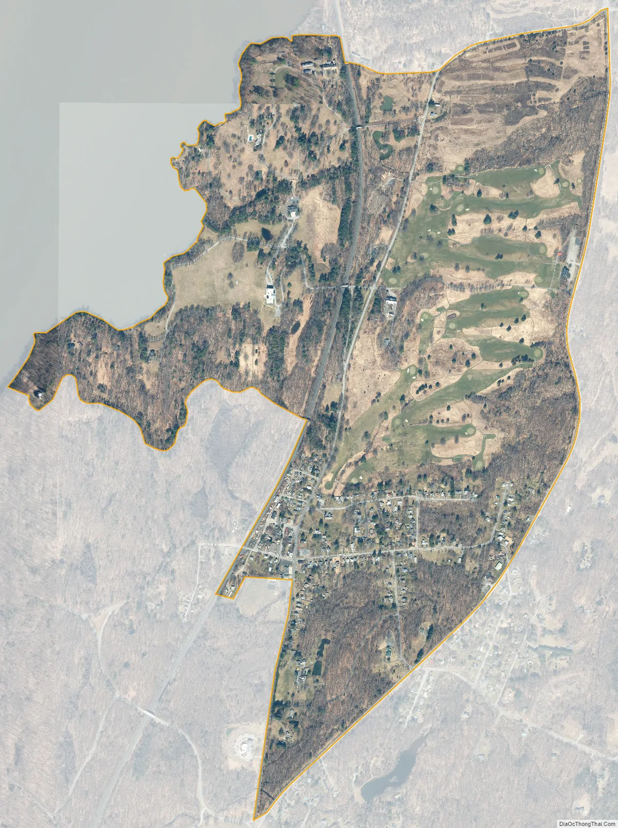
Staatsburg city Satellite Map
Geography
Staatsburg is located at 41°51′10″N 73°55′20″W / 41.852772°N 73.922102°W / 41.852772; -73.922102. According to the United States Census Bureau, the CDP has a total area of 1.1 square miles (2.8 km), all land.
See also
Map of New York State and its subdivision:- Albany
- Allegany
- Bronx
- Broome
- Cattaraugus
- Cayuga
- Chautauqua
- Chemung
- Chenango
- Clinton
- Columbia
- Cortland
- Delaware
- Dutchess
- Erie
- Essex
- Franklin
- Fulton
- Genesee
- Greene
- Hamilton
- Herkimer
- Jefferson
- Kings
- Lake Ontario
- Lewis
- Livingston
- Madison
- Monroe
- Montgomery
- Nassau
- New York
- Niagara
- Oneida
- Onondaga
- Ontario
- Orange
- Orleans
- Oswego
- Otsego
- Putnam
- Queens
- Rensselaer
- Richmond
- Rockland
- Saint Lawrence
- Saratoga
- Schenectady
- Schoharie
- Schuyler
- Seneca
- Steuben
- Suffolk
- Sullivan
- Tioga
- Tompkins
- Ulster
- Warren
- Washington
- Wayne
- Westchester
- Wyoming
- Yates
- Alabama
- Alaska
- Arizona
- Arkansas
- California
- Colorado
- Connecticut
- Delaware
- District of Columbia
- Florida
- Georgia
- Hawaii
- Idaho
- Illinois
- Indiana
- Iowa
- Kansas
- Kentucky
- Louisiana
- Maine
- Maryland
- Massachusetts
- Michigan
- Minnesota
- Mississippi
- Missouri
- Montana
- Nebraska
- Nevada
- New Hampshire
- New Jersey
- New Mexico
- New York
- North Carolina
- North Dakota
- Ohio
- Oklahoma
- Oregon
- Pennsylvania
- Rhode Island
- South Carolina
- South Dakota
- Tennessee
- Texas
- Utah
- Vermont
- Virginia
- Washington
- West Virginia
- Wisconsin
- Wyoming


