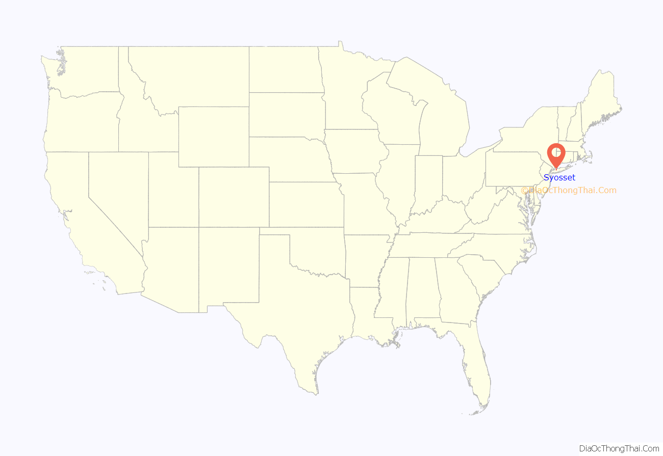
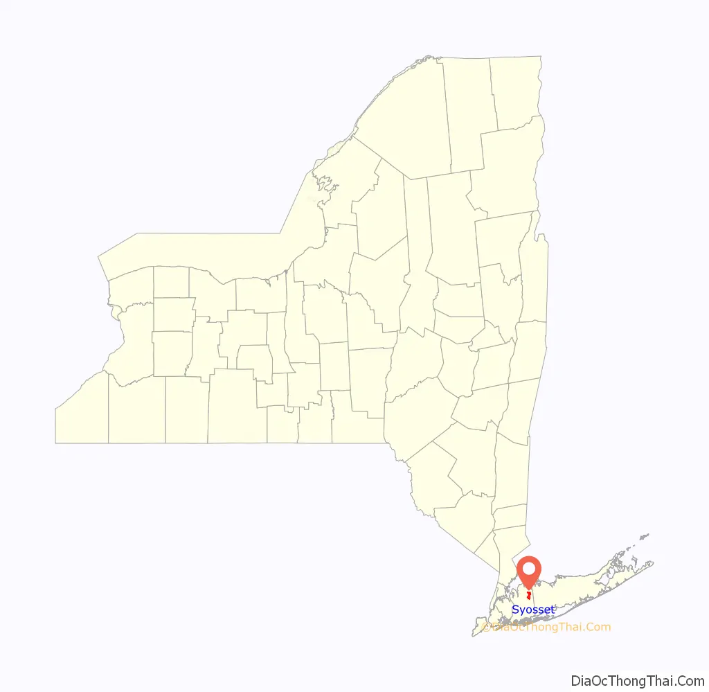
Syosset /saɪˈɒsɪt/ (also known as Little East Woods or Locust Grove) is a hamlet and census-designated place in the Town of Oyster Bay, in Nassau County, on the North Shore of Long Island, in New York, United States. The population was 19,259 at the 2020 census.
Syosset is served by the Syosset LIRR station, the Syosset Post Office, the Syosset Central School District, the Syosset Public Library, the Syosset Fire Department, and the Jericho Water District.
| Name: | Syosset CDP |
|---|---|
| LSAD Code: | 57 |
| LSAD Description: | CDP (suffix) |
| State: | New York |
| County: | Nassau County |
| Elevation: | 217 ft (66 m) |
| Total Area: | 4.97 sq mi (12.89 km²) |
| Land Area: | 4.97 sq mi (12.89 km²) |
| Water Area: | 0.00 sq mi (0.00 km²) |
| Total Population: | 19,259 |
| Population Density: | 3,871.16/sq mi (1,494.65/km²) |
| Area code: | 516 |
| FIPS code: | 3672554 |
| GNISfeature ID: | 0970692 |
| Website: | www.syossetchamber.com |
Online Interactive Map
Click on ![]() to view map in "full screen" mode.
to view map in "full screen" mode.
Syosset location map. Where is Syosset CDP?
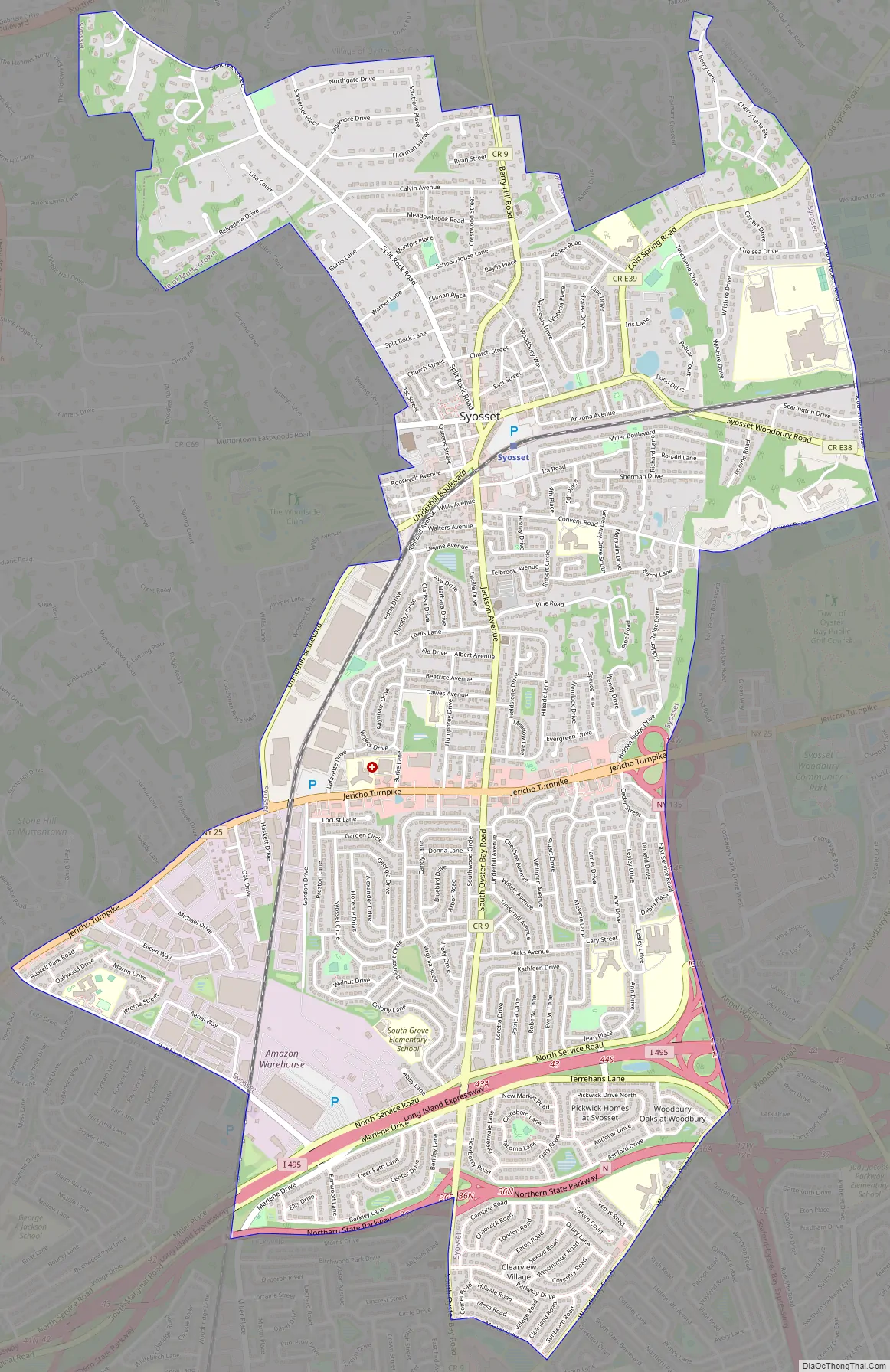
Syosset Road Map
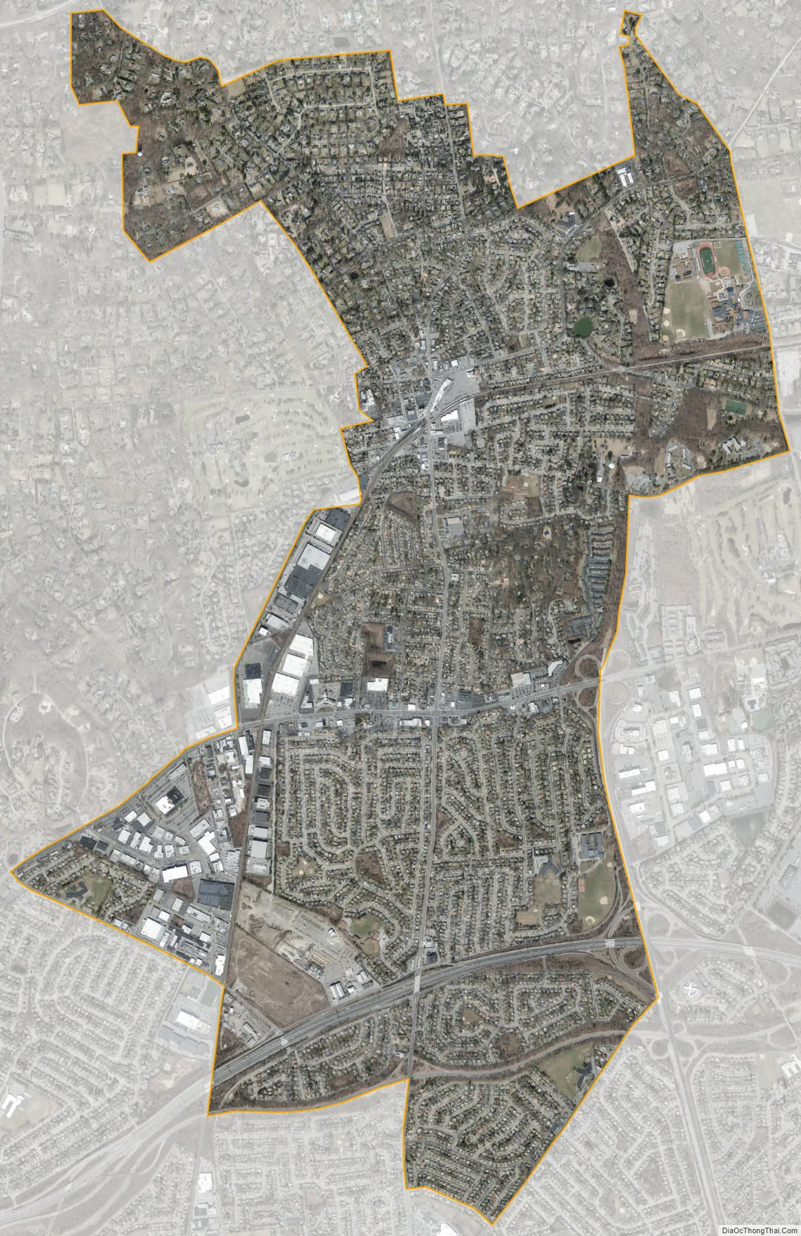
Syosset city Satellite Map
Geography
According to the United States Census Bureau, Syosset has a total area of 5.0 square miles (13 km), all land.
The Syosset CDP absorbed the hamlet and former CDP of Locust Grove for the 1990 census. Furthermore, Syosset gained some territory between the 2000 census and 2010 census from Muttontown, and also lost some territory which was annexed to the Village of Laurel Hollow.
Syosset is located approximately 32 miles (50 km) east of Midtown Manhattan, 14 miles (20 km) east of the eastern border with Queens, 23 miles (40 km) southeast of the Throgs Neck Bridge, and 168 miles (270 km) southeast of Albany, the state capital. It borders Oyster Bay and Laurel Hollow to the north, Woodbury to the east, Plainview and Hicksville to the south, and Jericho and Muttontown to the west, Syosset is accessible to New York City by the LIRR and the Long Island Expressway by car.
See also
Map of New York State and its subdivision:- Albany
- Allegany
- Bronx
- Broome
- Cattaraugus
- Cayuga
- Chautauqua
- Chemung
- Chenango
- Clinton
- Columbia
- Cortland
- Delaware
- Dutchess
- Erie
- Essex
- Franklin
- Fulton
- Genesee
- Greene
- Hamilton
- Herkimer
- Jefferson
- Kings
- Lake Ontario
- Lewis
- Livingston
- Madison
- Monroe
- Montgomery
- Nassau
- New York
- Niagara
- Oneida
- Onondaga
- Ontario
- Orange
- Orleans
- Oswego
- Otsego
- Putnam
- Queens
- Rensselaer
- Richmond
- Rockland
- Saint Lawrence
- Saratoga
- Schenectady
- Schoharie
- Schuyler
- Seneca
- Steuben
- Suffolk
- Sullivan
- Tioga
- Tompkins
- Ulster
- Warren
- Washington
- Wayne
- Westchester
- Wyoming
- Yates
- Alabama
- Alaska
- Arizona
- Arkansas
- California
- Colorado
- Connecticut
- Delaware
- District of Columbia
- Florida
- Georgia
- Hawaii
- Idaho
- Illinois
- Indiana
- Iowa
- Kansas
- Kentucky
- Louisiana
- Maine
- Maryland
- Massachusetts
- Michigan
- Minnesota
- Mississippi
- Missouri
- Montana
- Nebraska
- Nevada
- New Hampshire
- New Jersey
- New Mexico
- New York
- North Carolina
- North Dakota
- Ohio
- Oklahoma
- Oregon
- Pennsylvania
- Rhode Island
- South Carolina
- South Dakota
- Tennessee
- Texas
- Utah
- Vermont
- Virginia
- Washington
- West Virginia
- Wisconsin
- Wyoming


